Hell Hole Canyon Trail to Maidenhair Falls, Anza Borrego State Park, 02/20/2017

STEPS: 12787 DISTANCE:  5.38 Miles ELEVATION GAIN: 780′  HIKE TIME:  2:57 minutes including 20 minute stop at falls


Directions to Hell Hole Canyon, Maidenhair Falls 


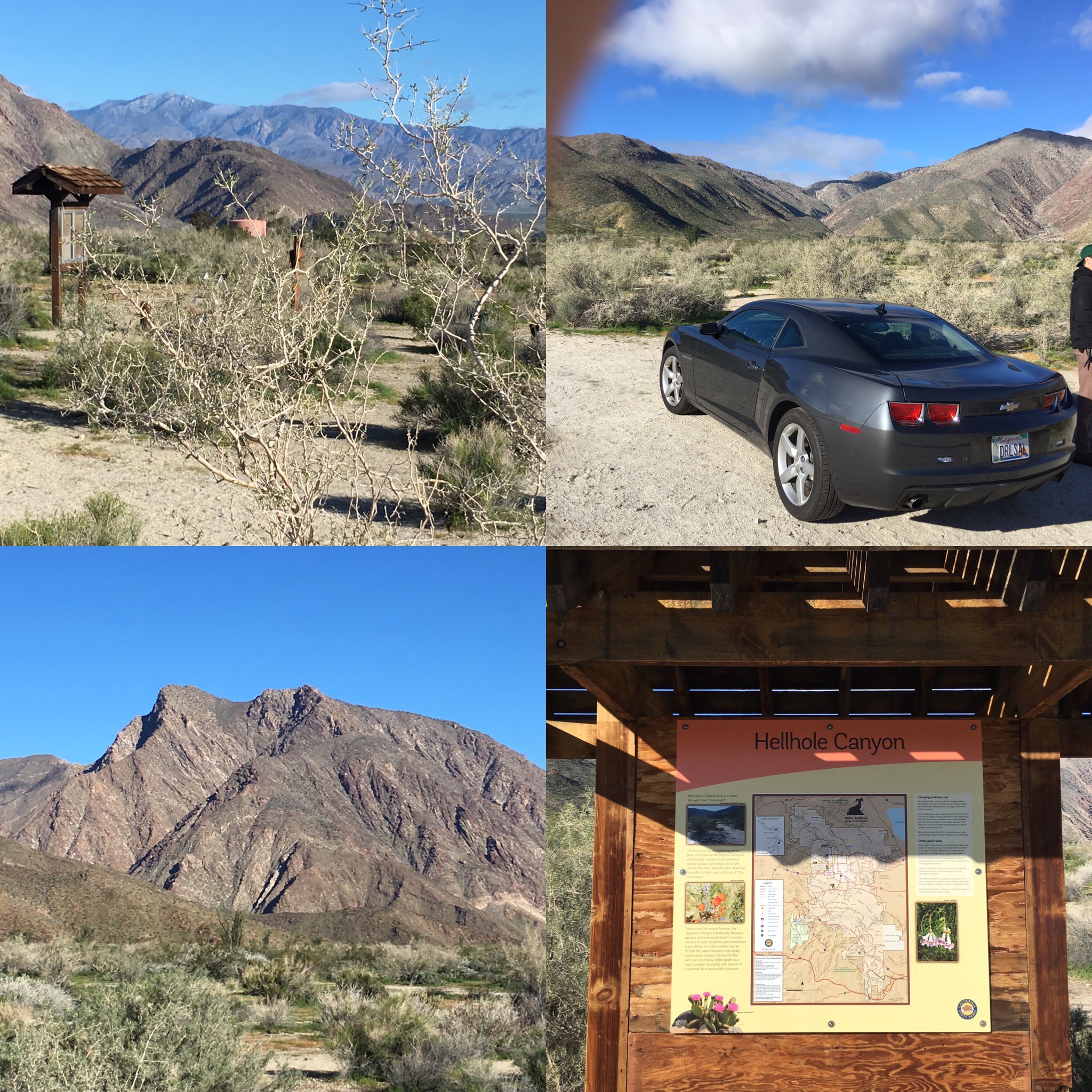
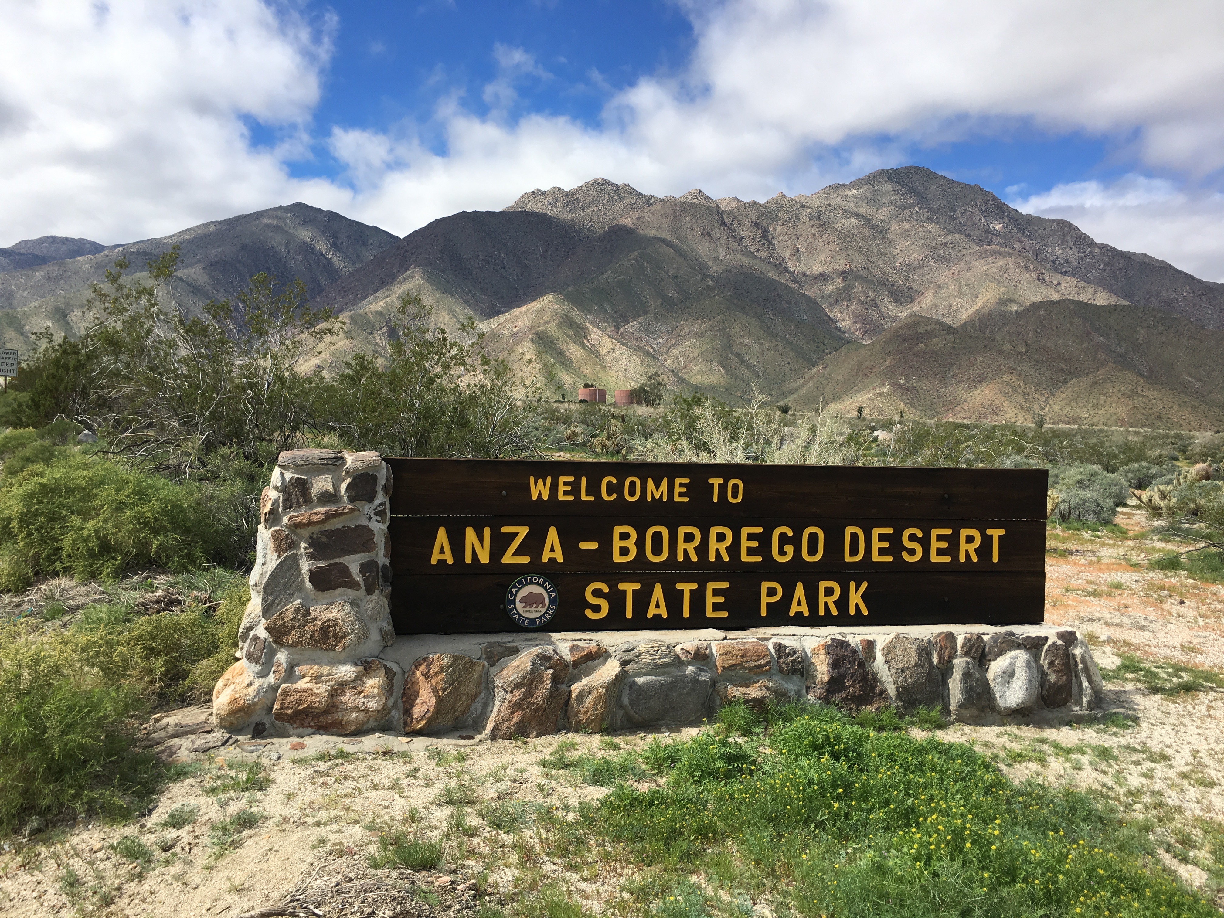
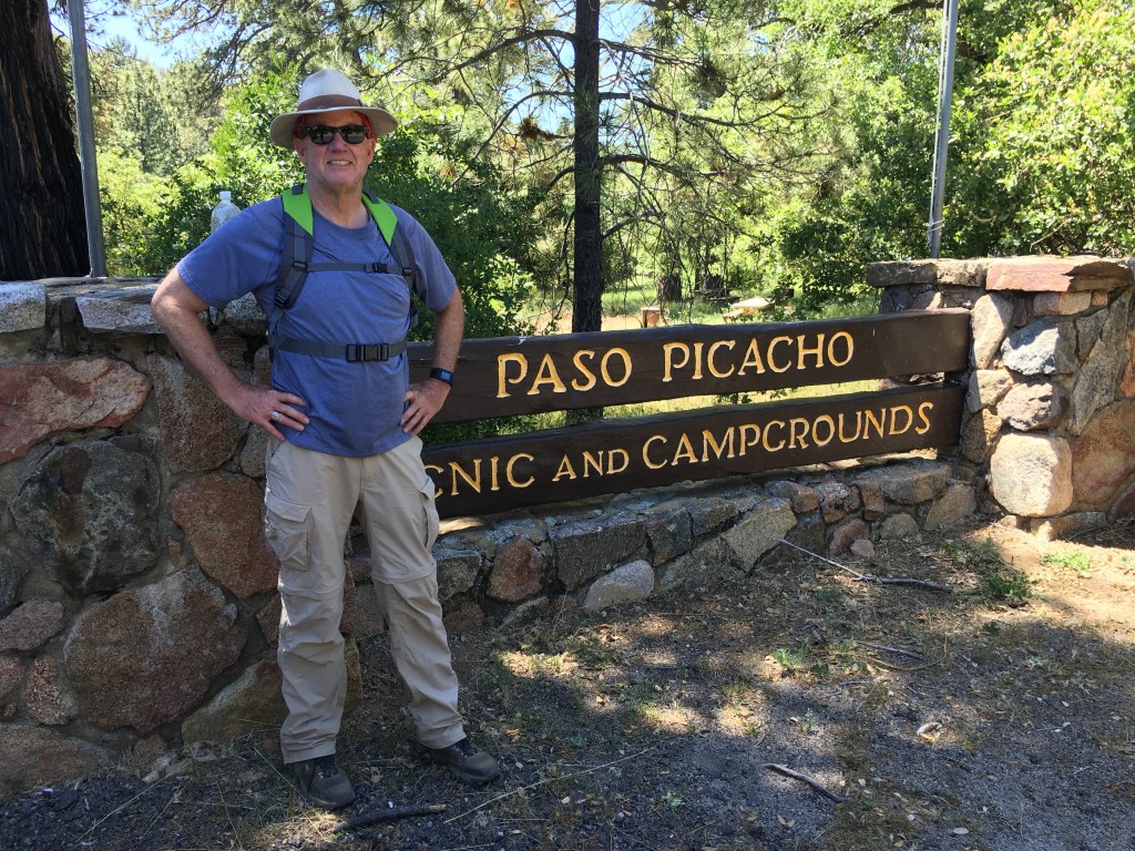
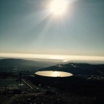
Distance from downtown San Diego: 90 miles. Allow 2 hours (Anza-Borrego Desert State Park). Drive to Ramona and follow Hwy 78 east 15 miles to Santa Ysabel. Turn north (left) on Hwy 79 and after 11 miles turn southeast (right) on S-2. At the turn-off for S-22 (Montezuma Valley Road) turn east (left) and follow S-22 to the bottom of the grade, watching for the turn to the west (left) into the Hellhole Canyon parking area. Restrooms.


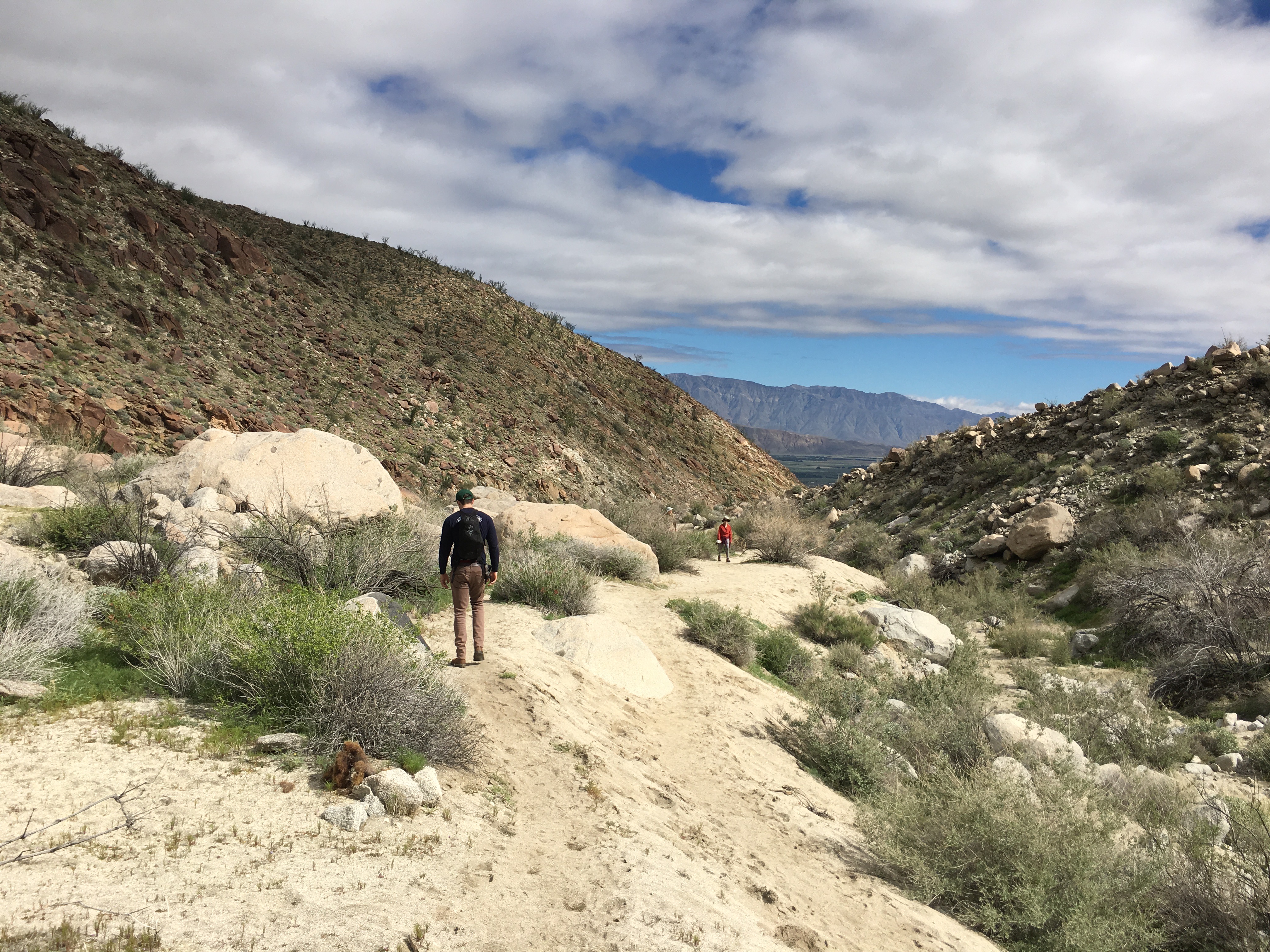
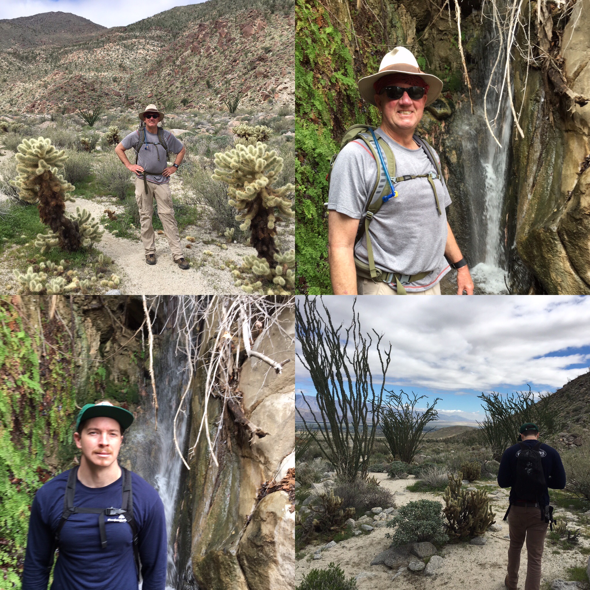
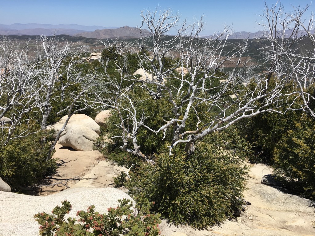
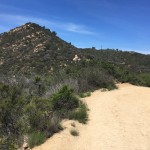
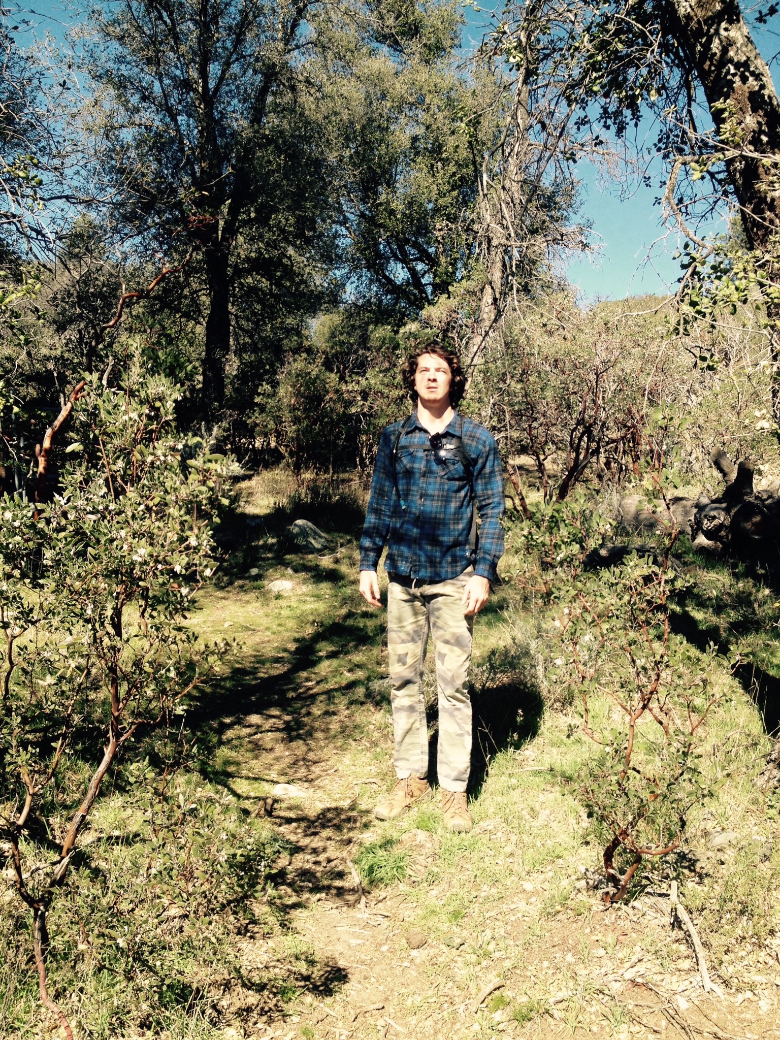
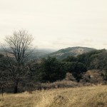
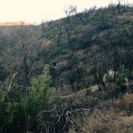
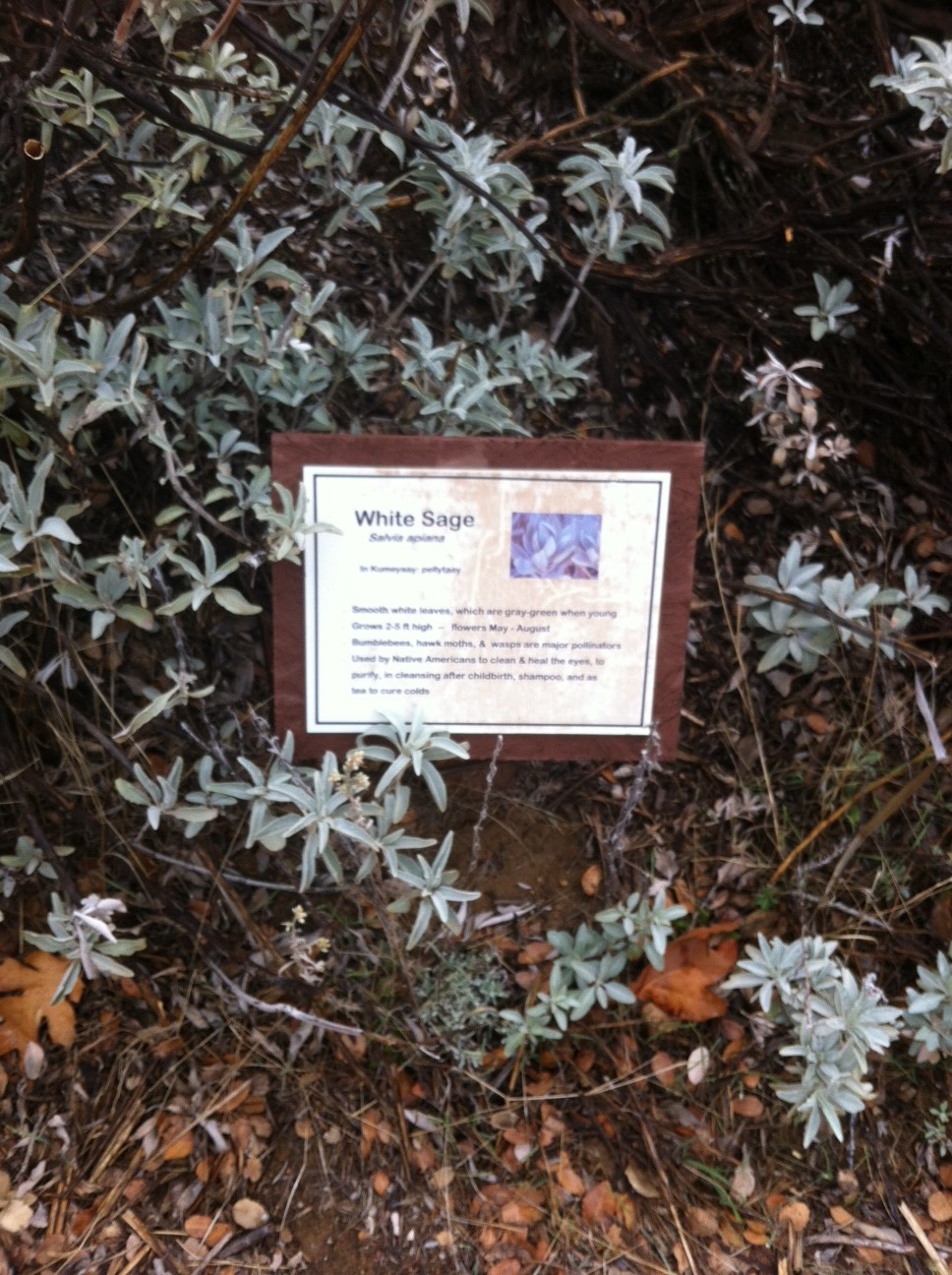
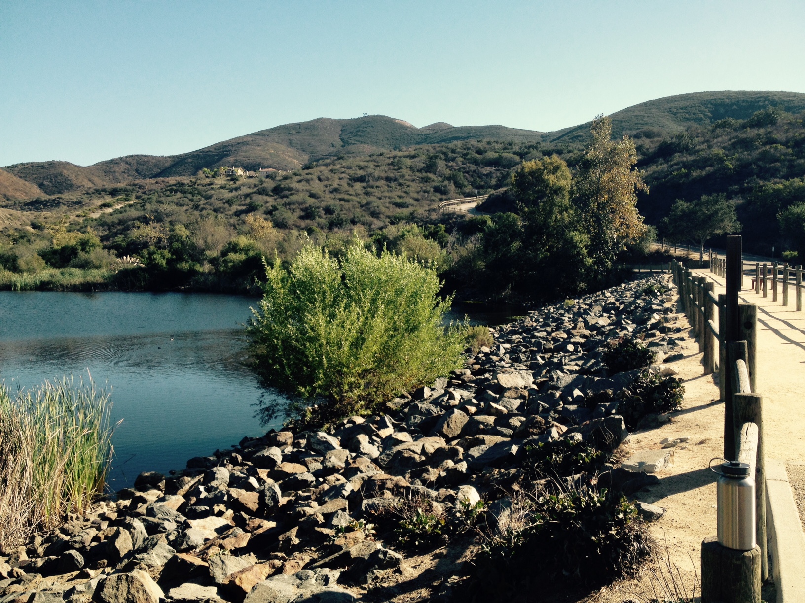
This hike will grab you from the get go based on the natural beauty of the surrounding area.  You are submerged in a desert landscape and heading towards a waterfall, it doesn’t get any better than that.  The local flora and fauna is made up of Vegetation such as creosote, burroweed, chuparosa, cheesebush, buckhorn cholla, agave, and desert lavender give way to desert willow, brittlebush, jojoba, ocotillo, teddy-bear cholla, and white sage. At about the 1.75 mile mark as the canyon narrows and steepens, the first palm trees and sycamores become visible.

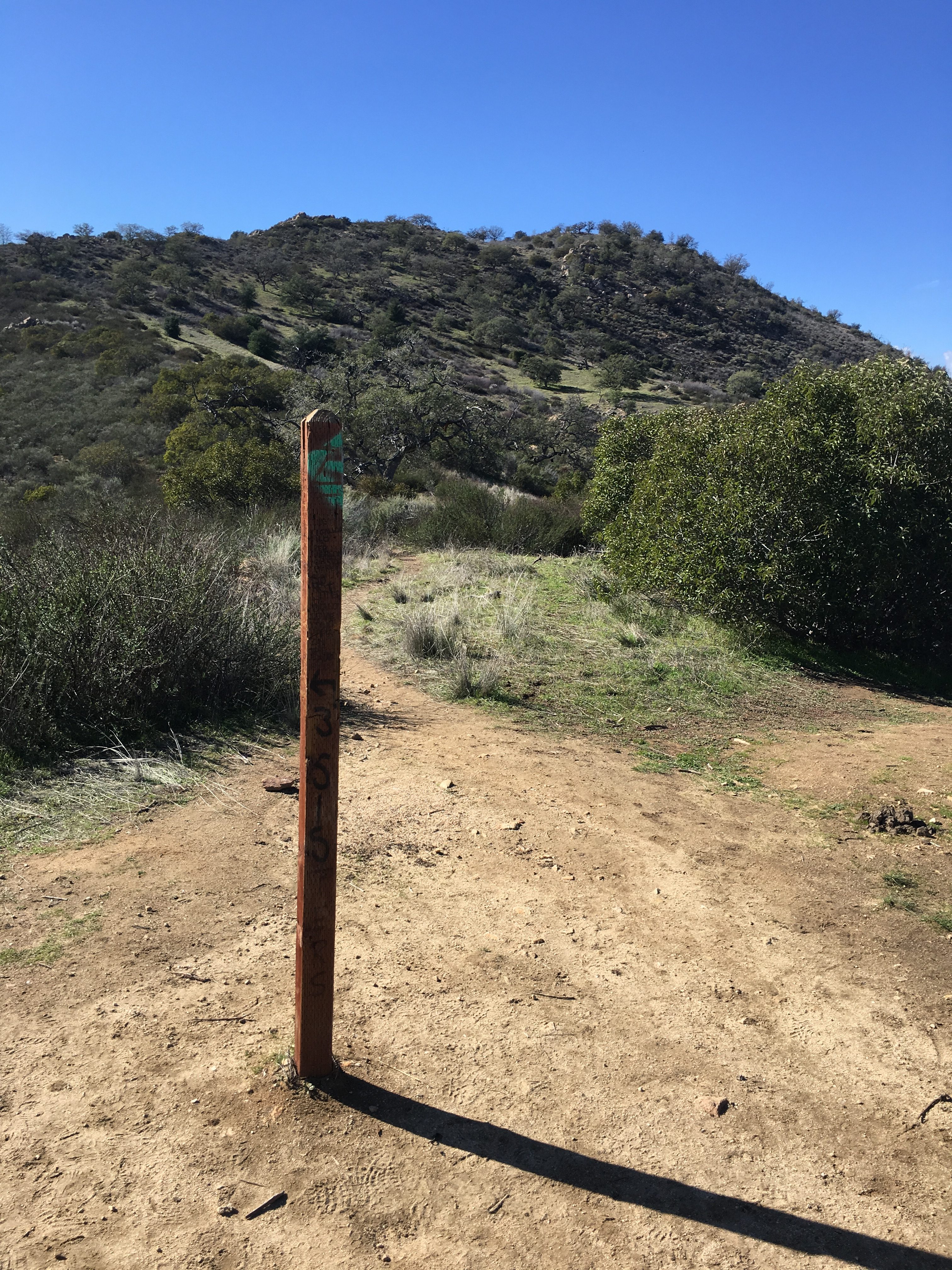
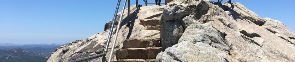
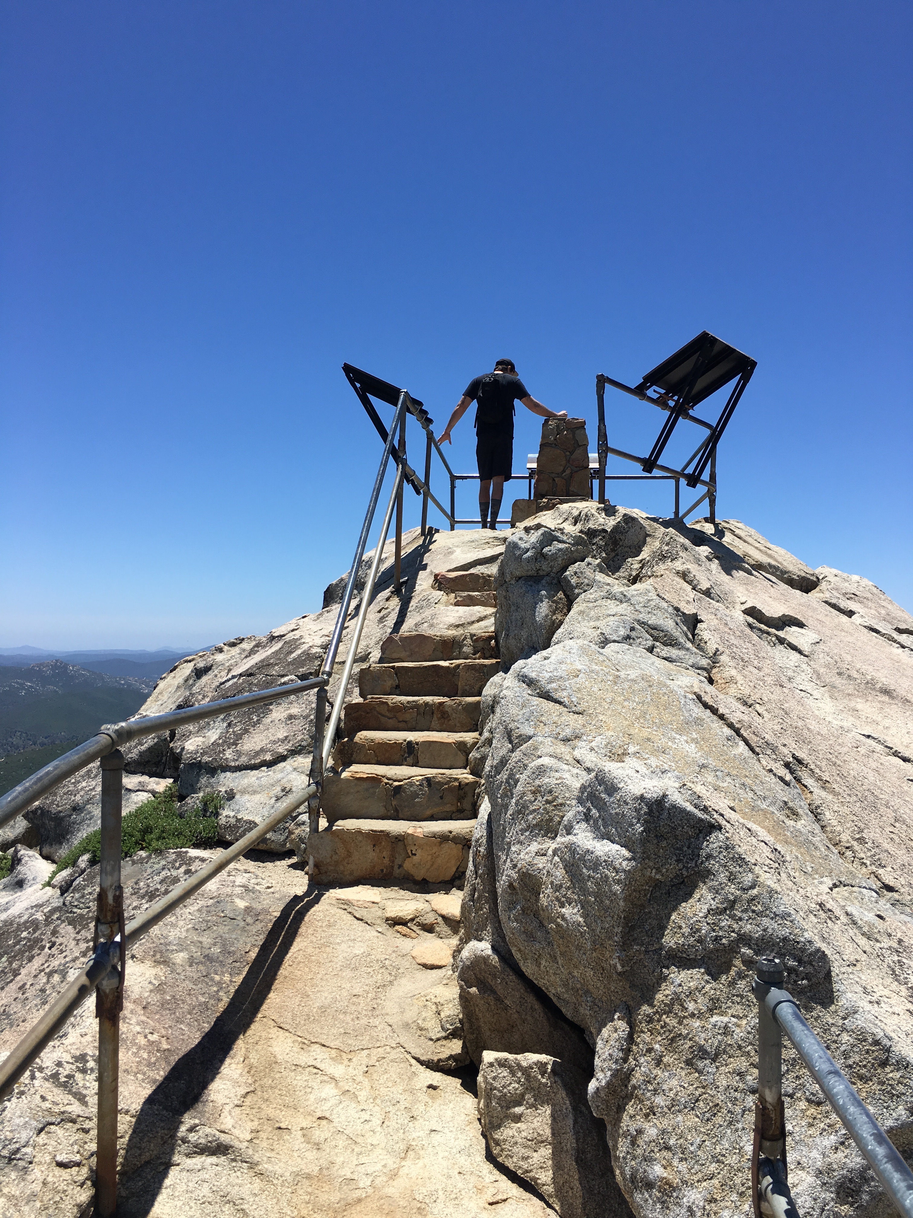
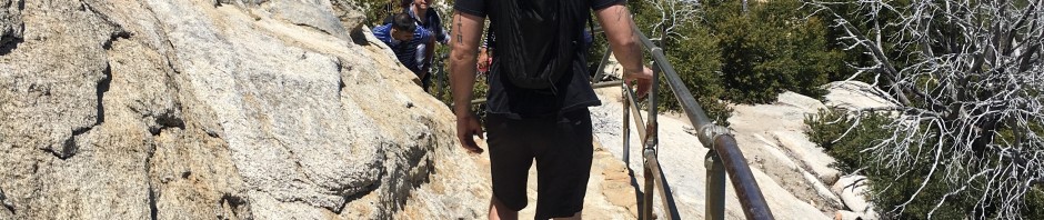
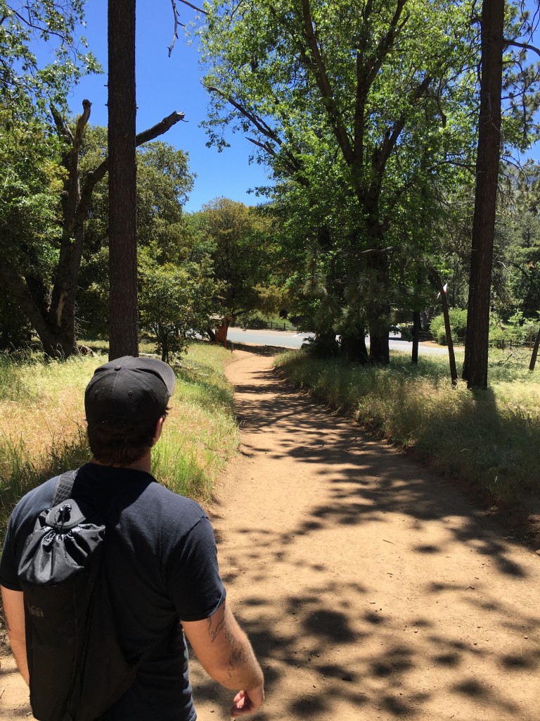
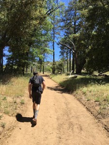
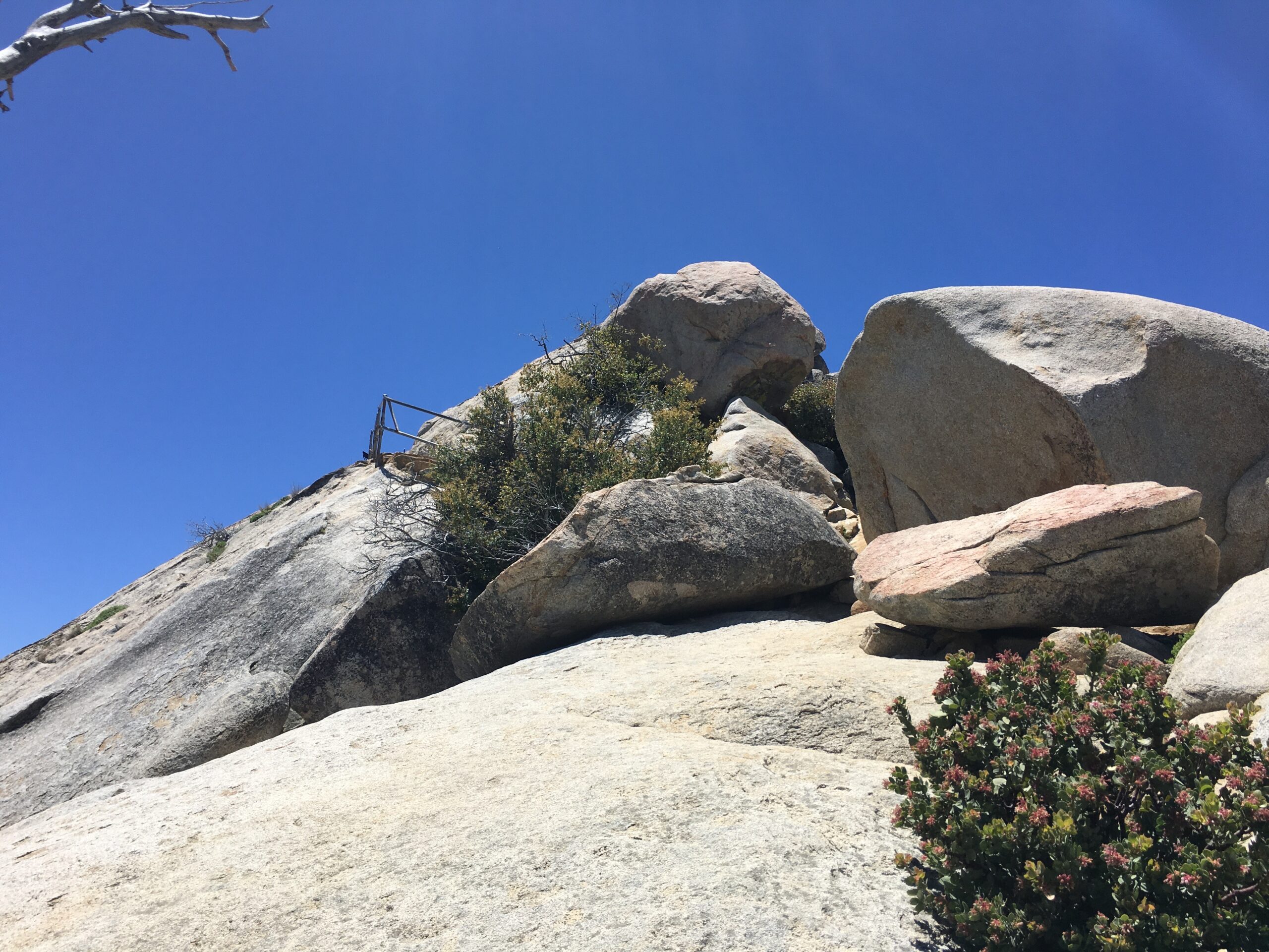
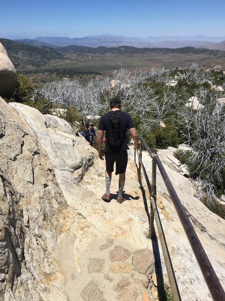
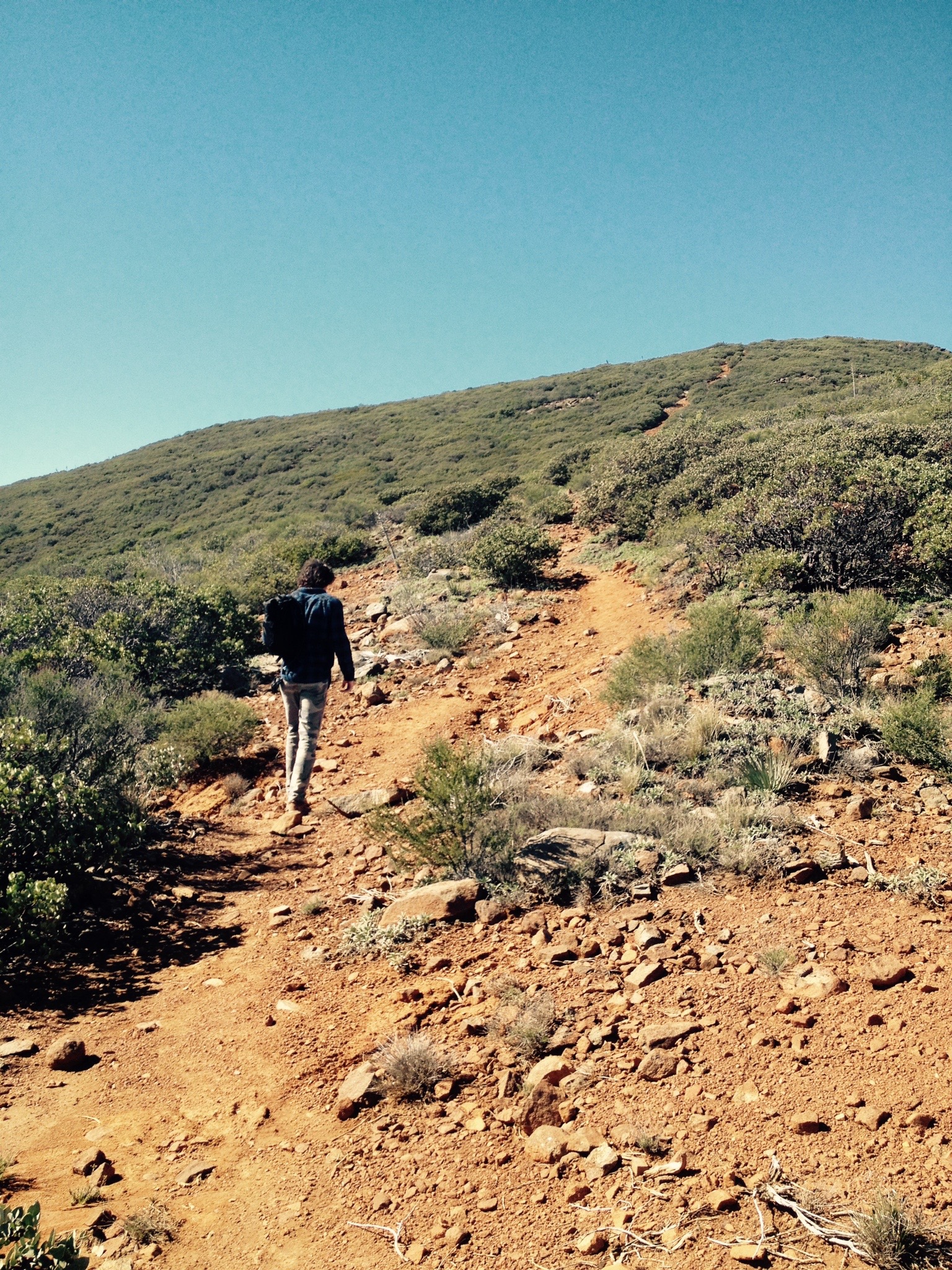
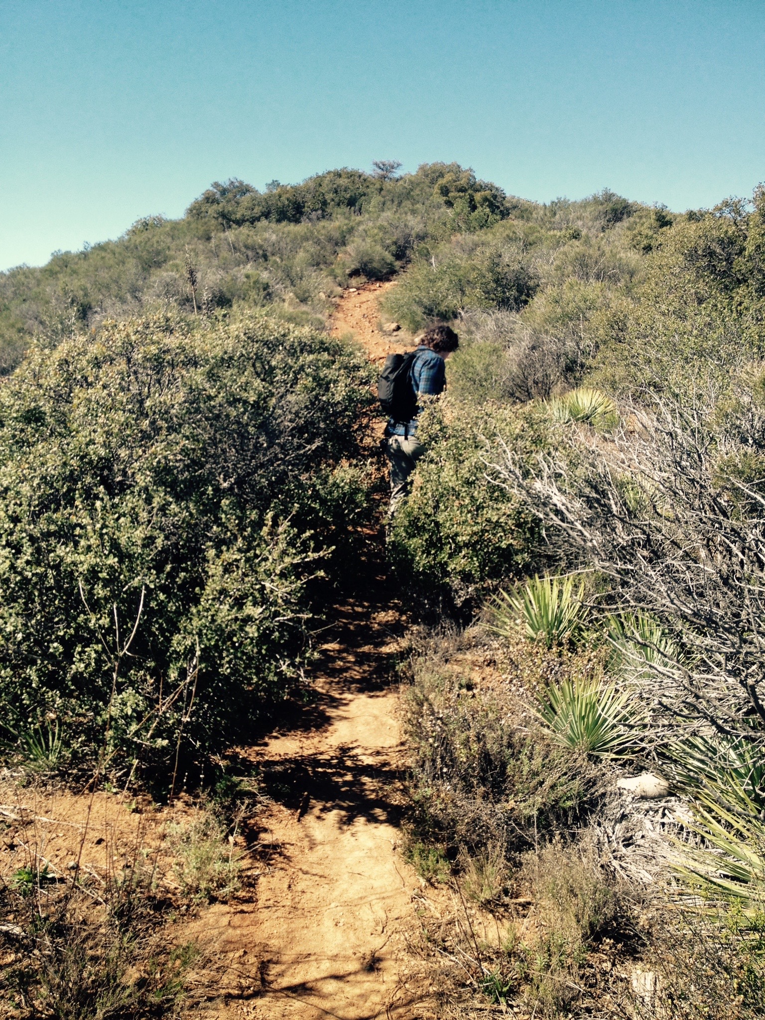
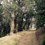
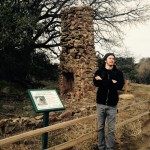
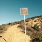
Begin the hike from the parking area and follow the wide, well-worn path to the narrowing mouth of the canyon where the ribboned pattern of Julian schist becomes visible on the canyon walls. A cautionary sign reminds you that you are in mountain-lion country.  Not to mention the grave and marker with the caption THEY DIDNT BRING ENOUGH WATER.  On this day of our hike it was 40s and 50s early in the morning, but warmed up to middle 70’s during the hike.  If you are going to hike Maidenfair Falls any time other than October-March, start very early, because the heat will be unbearable after 11am.  We started at 8:30 and we back by 11:30AM.  

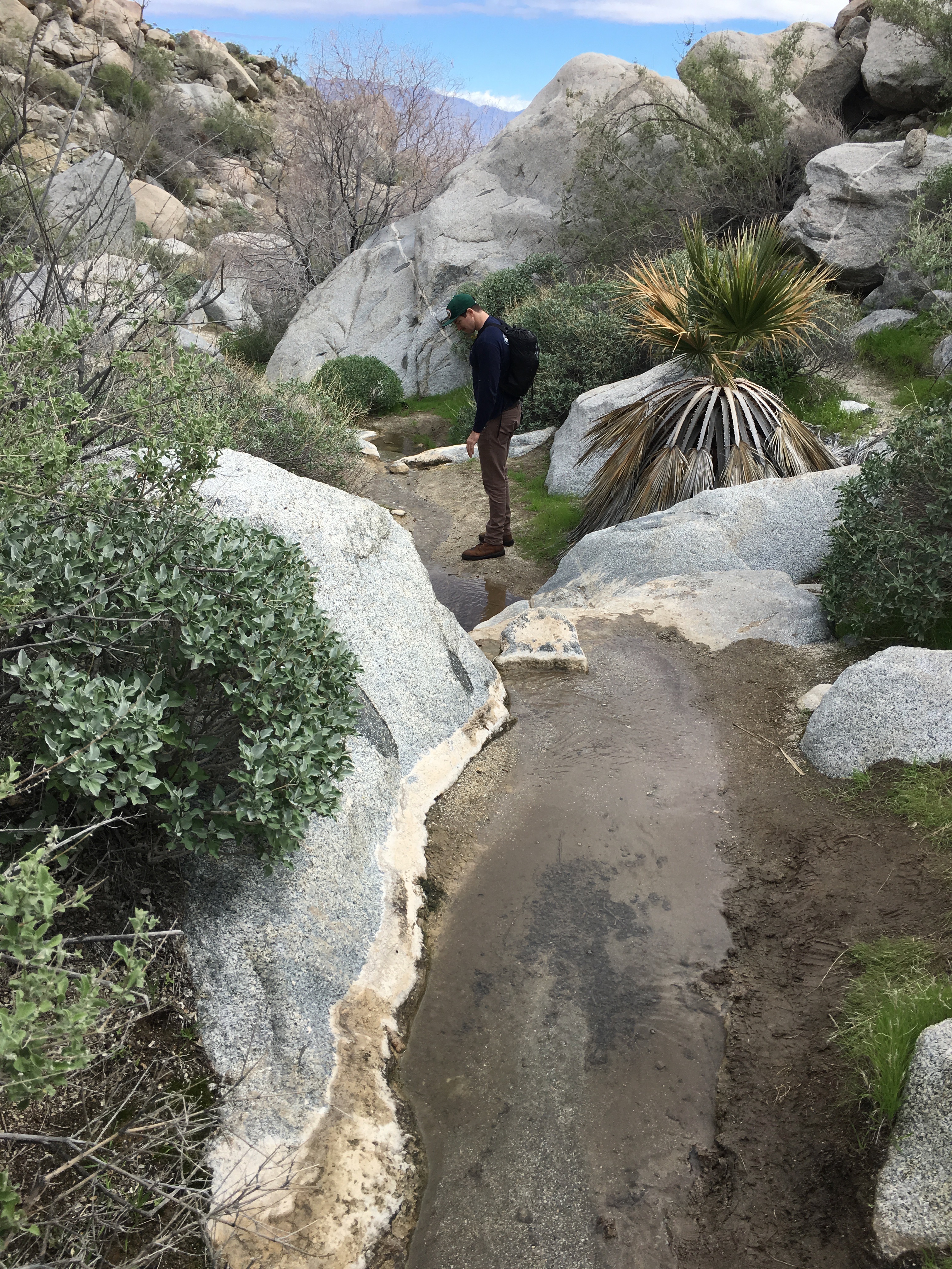
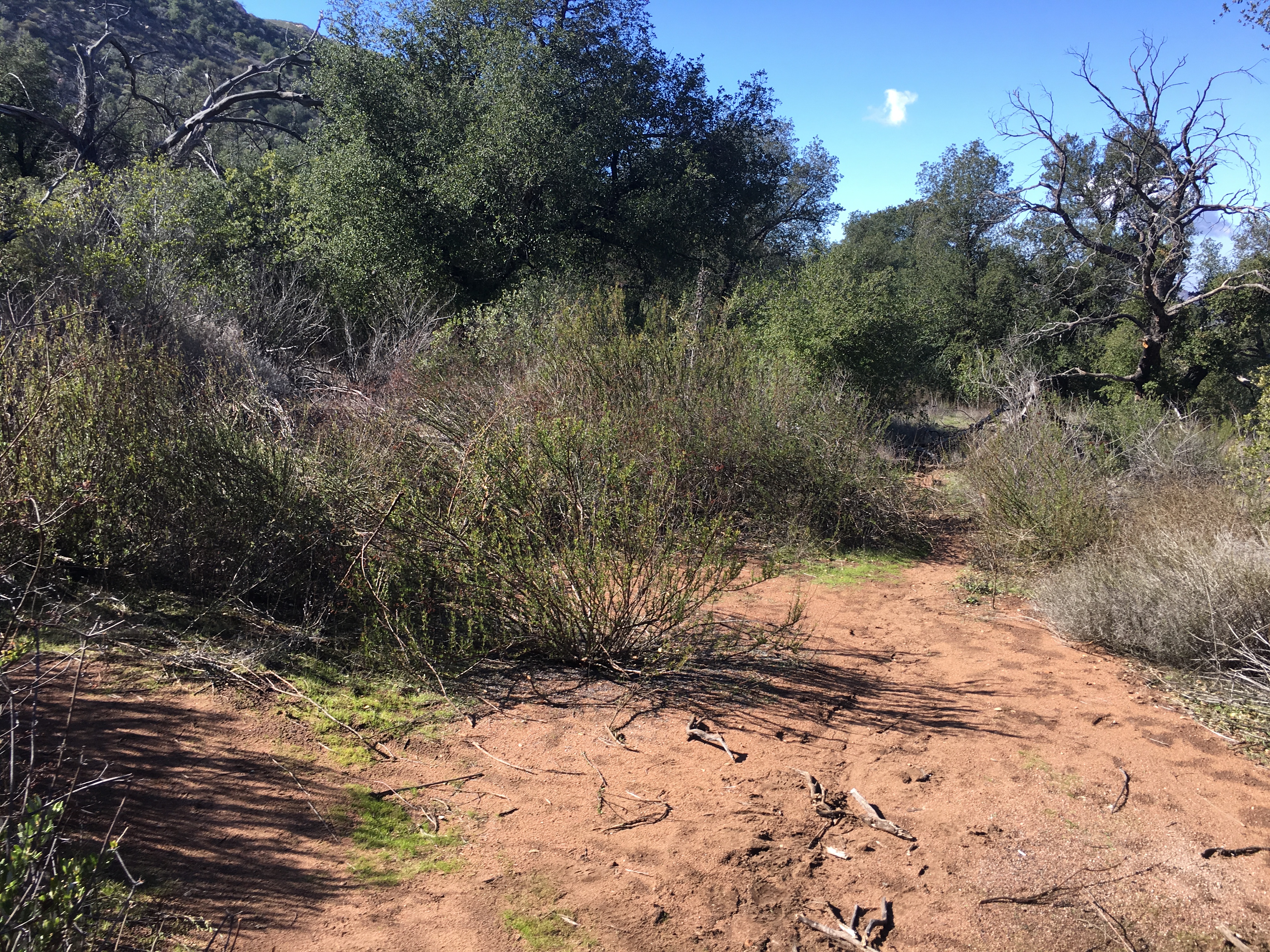
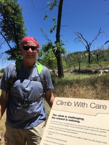
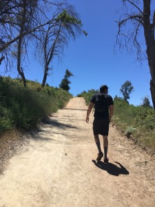
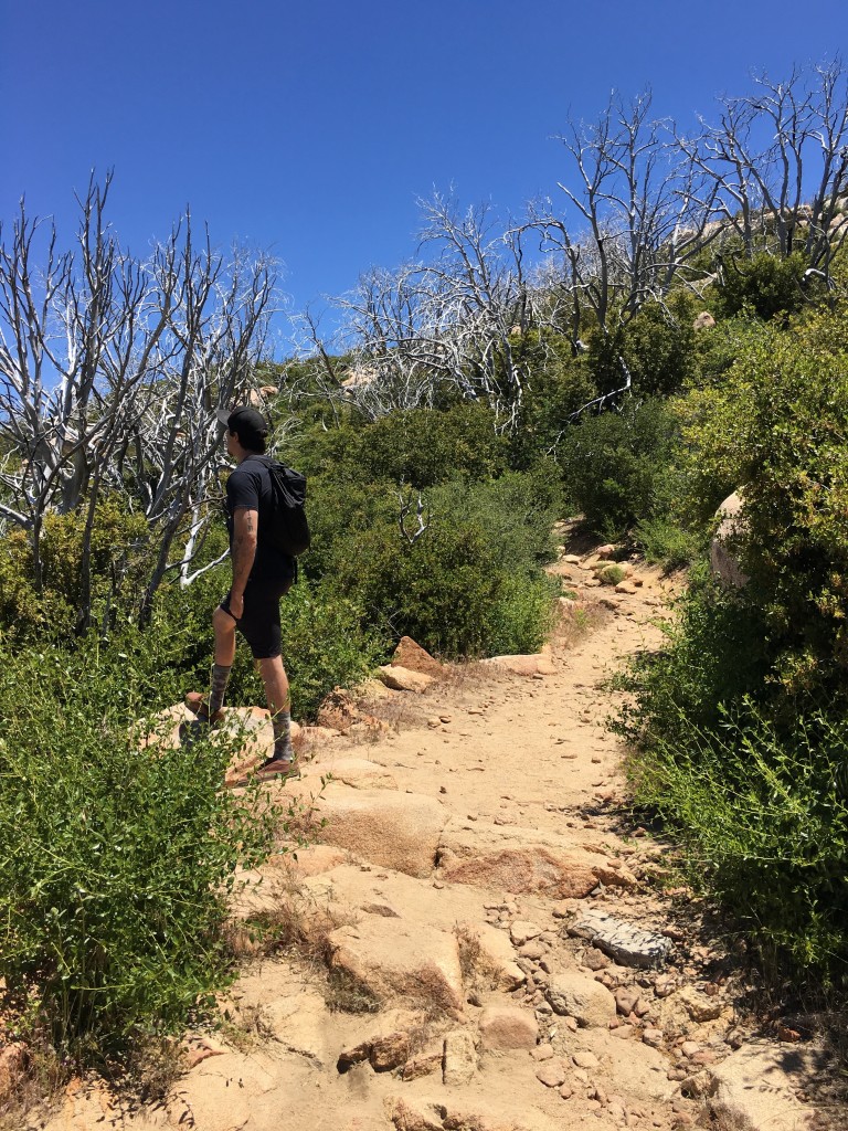
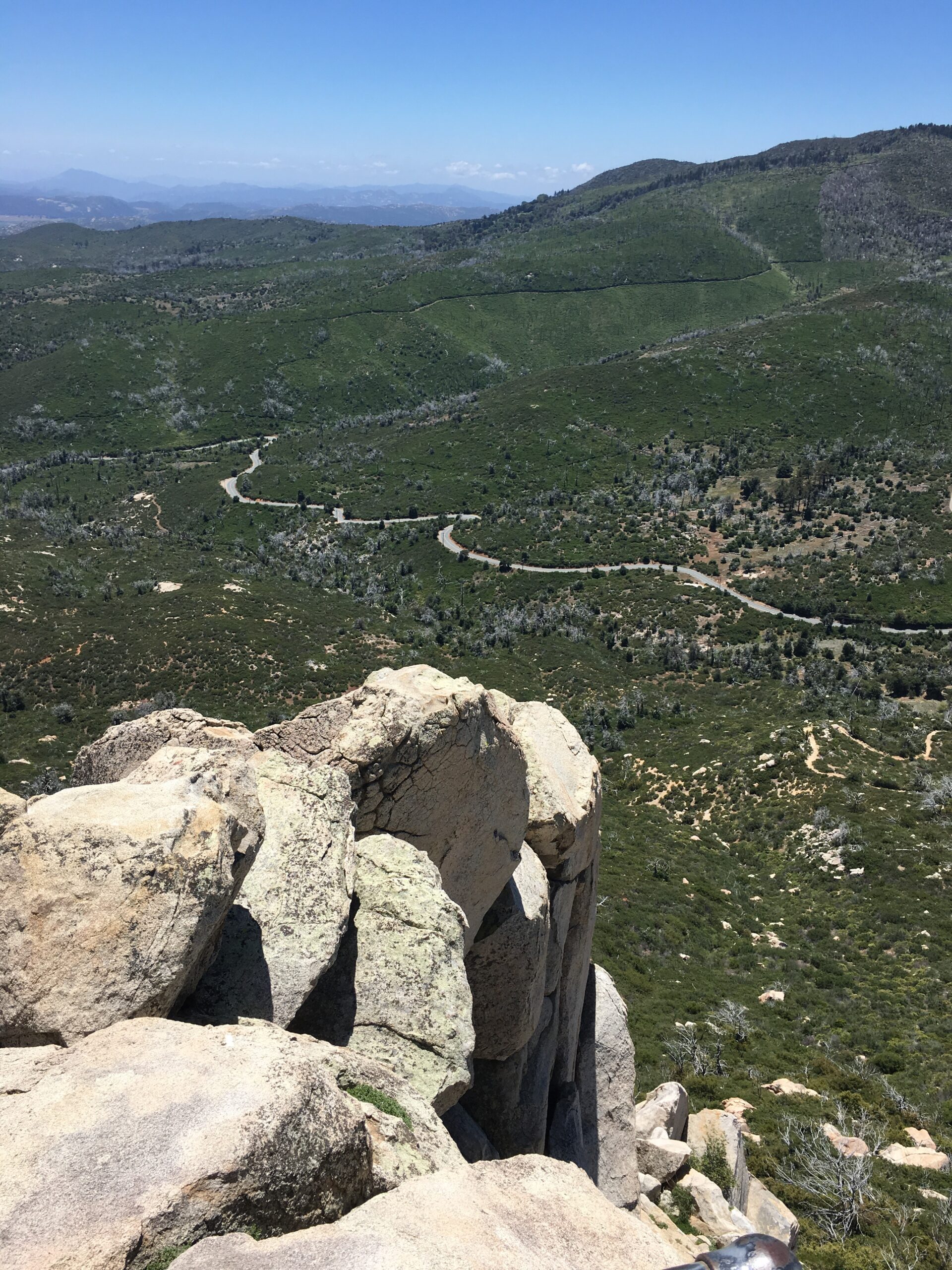
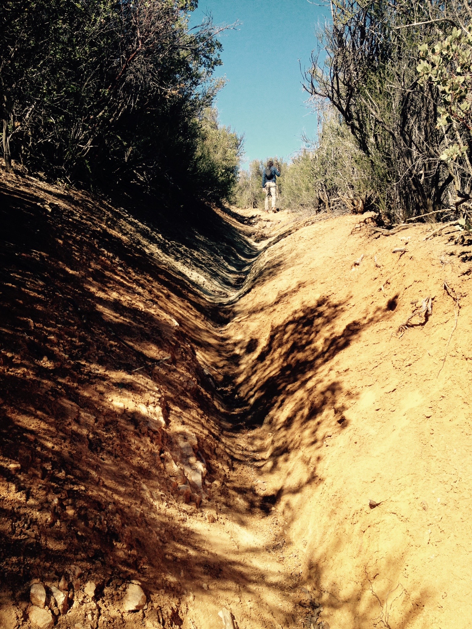
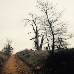
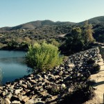
This 5.5 mile hike is pretty easy with little elevation gain in the beginning, however at the 1.75 mile mark your flat well worn trail now turns into an exercize of climbing and maneuvering over rocks, under fallen branches and around a lot of plants that can cut you.  Use caution ascending the narrow canyon that is filled with boulders and thorny mesquite and acacia. It is best to hike in long sleeves to avoid scratches. The thorny underbrush led to the name Hellhole Canyon. In earlier days, cattle would roam down into the canyon from Culp Valley. Cattleman Wid Helm reportedly said that the 
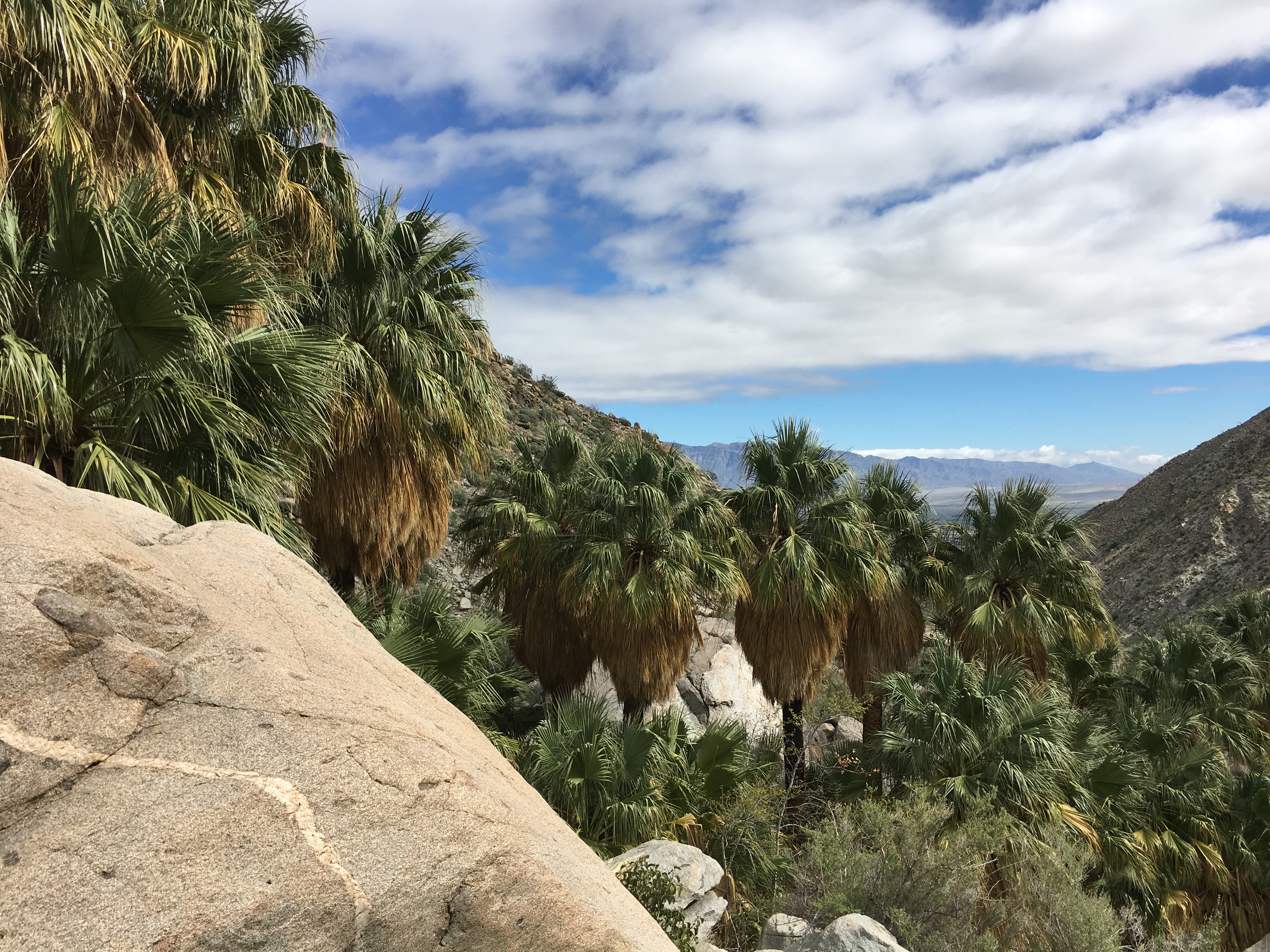
canyon was “one hell of a hole to get cattle out of.”  As you approach the water fall the small creek you are following will get wetter and the sound of rushing water will get louder.  A few more climbs and scrambles and you are there. If you are expecting the falls of Three Sisters, or even Cedar Creek, this isn’t it, but the 18 foot cascade of water is well worth the hard work to get there.


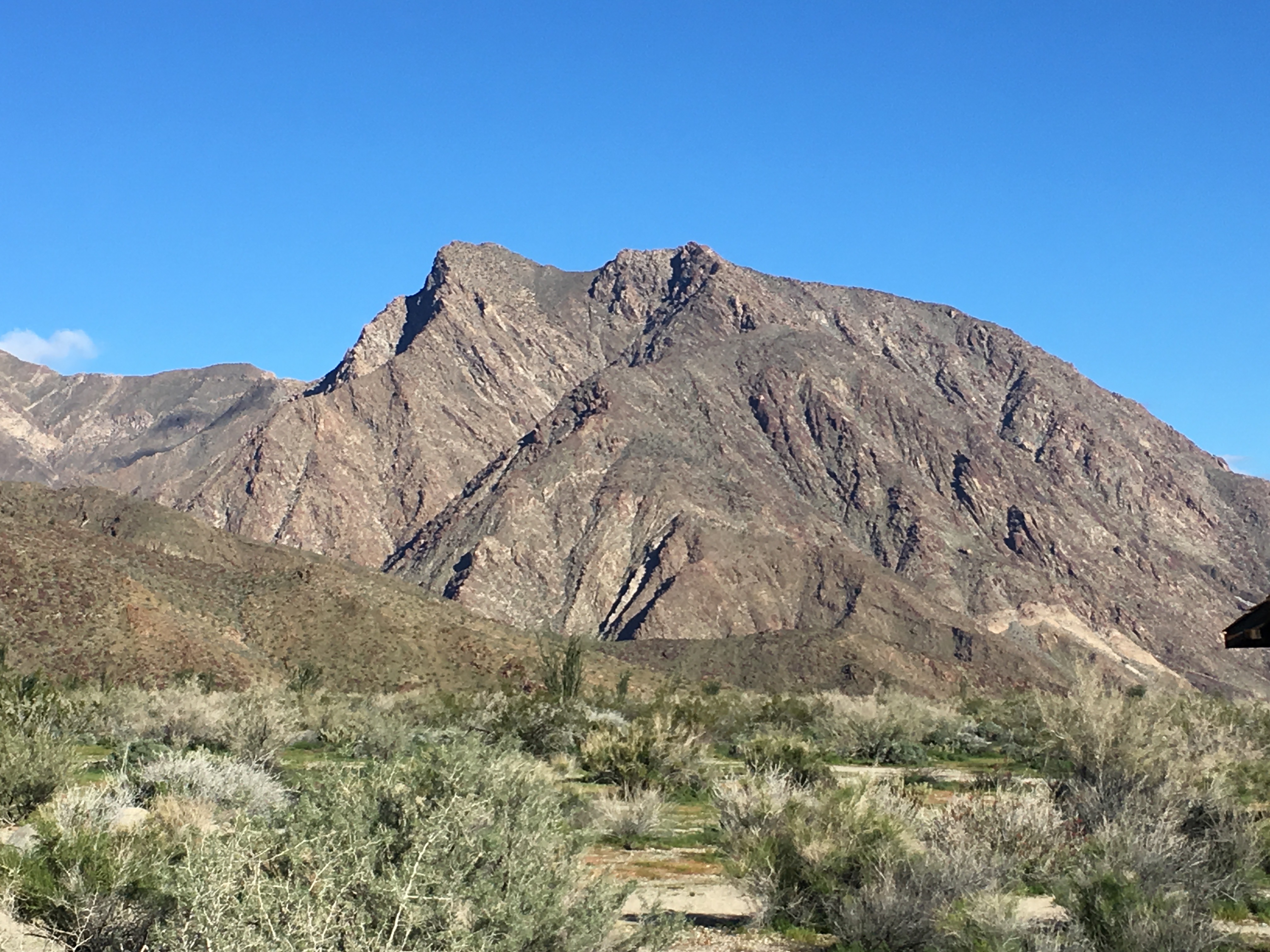
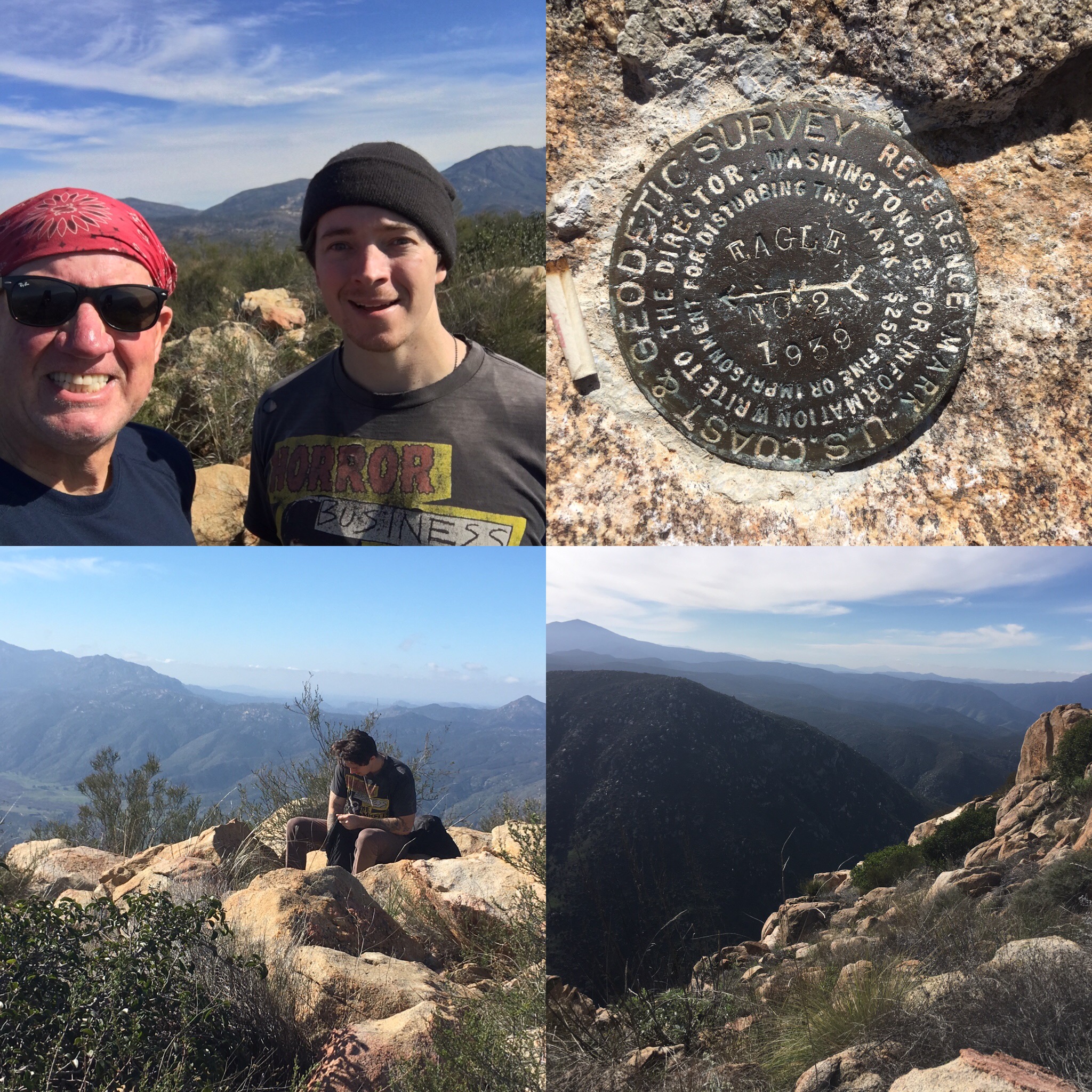
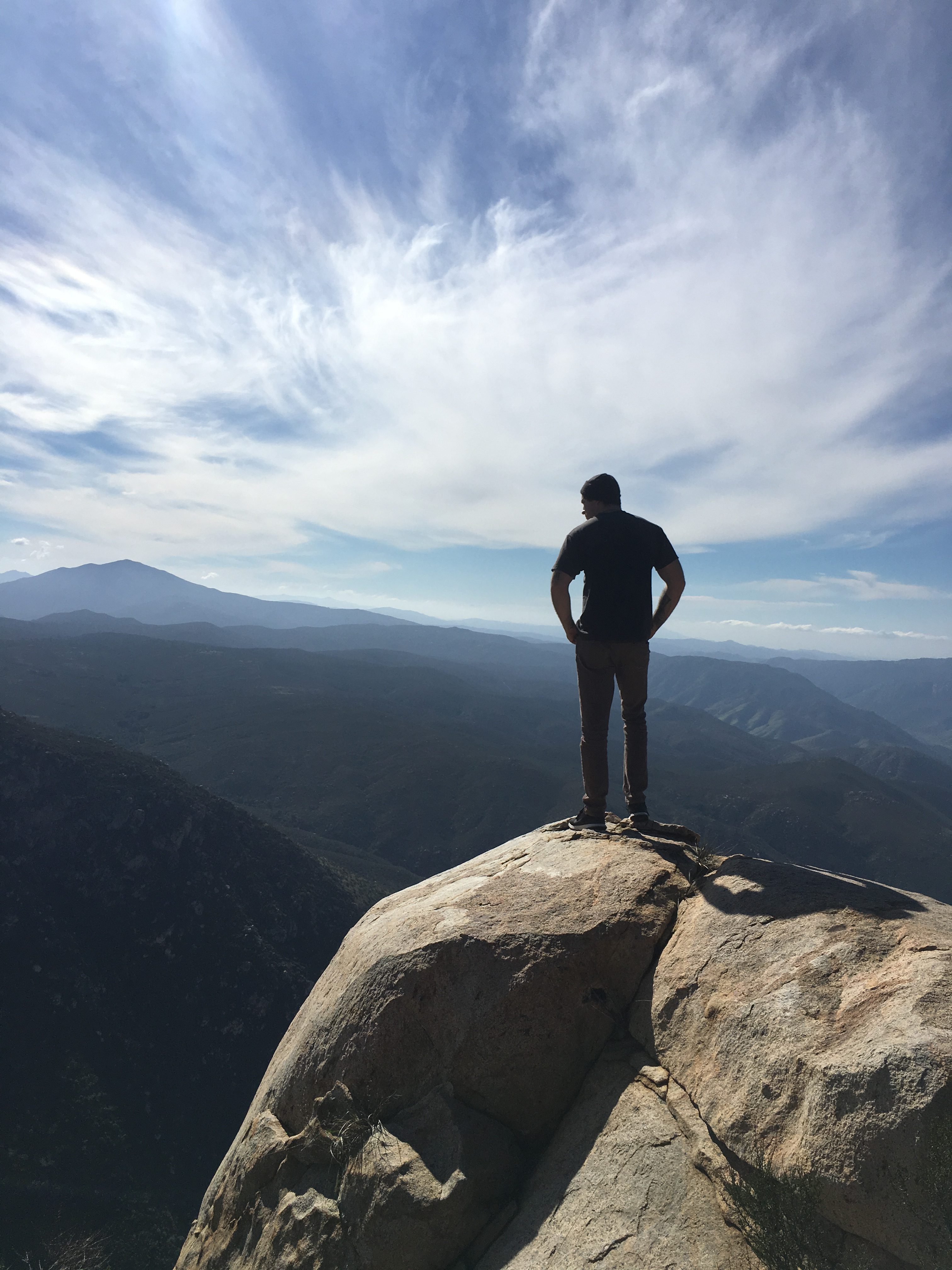
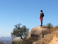
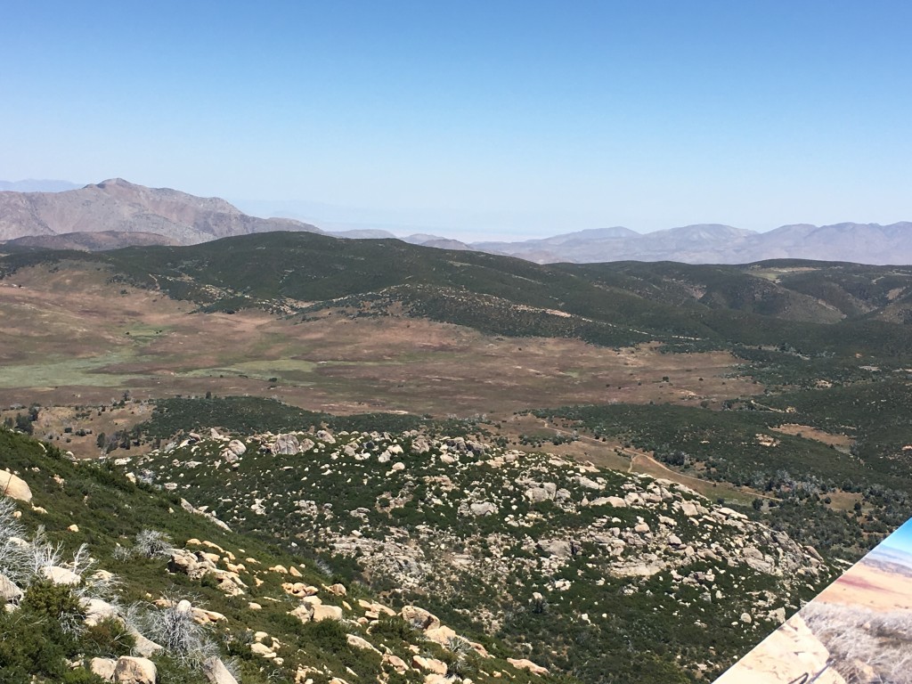
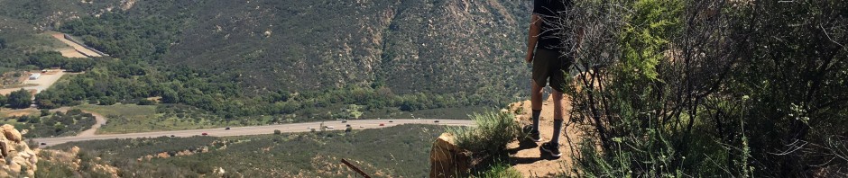
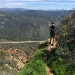
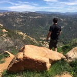
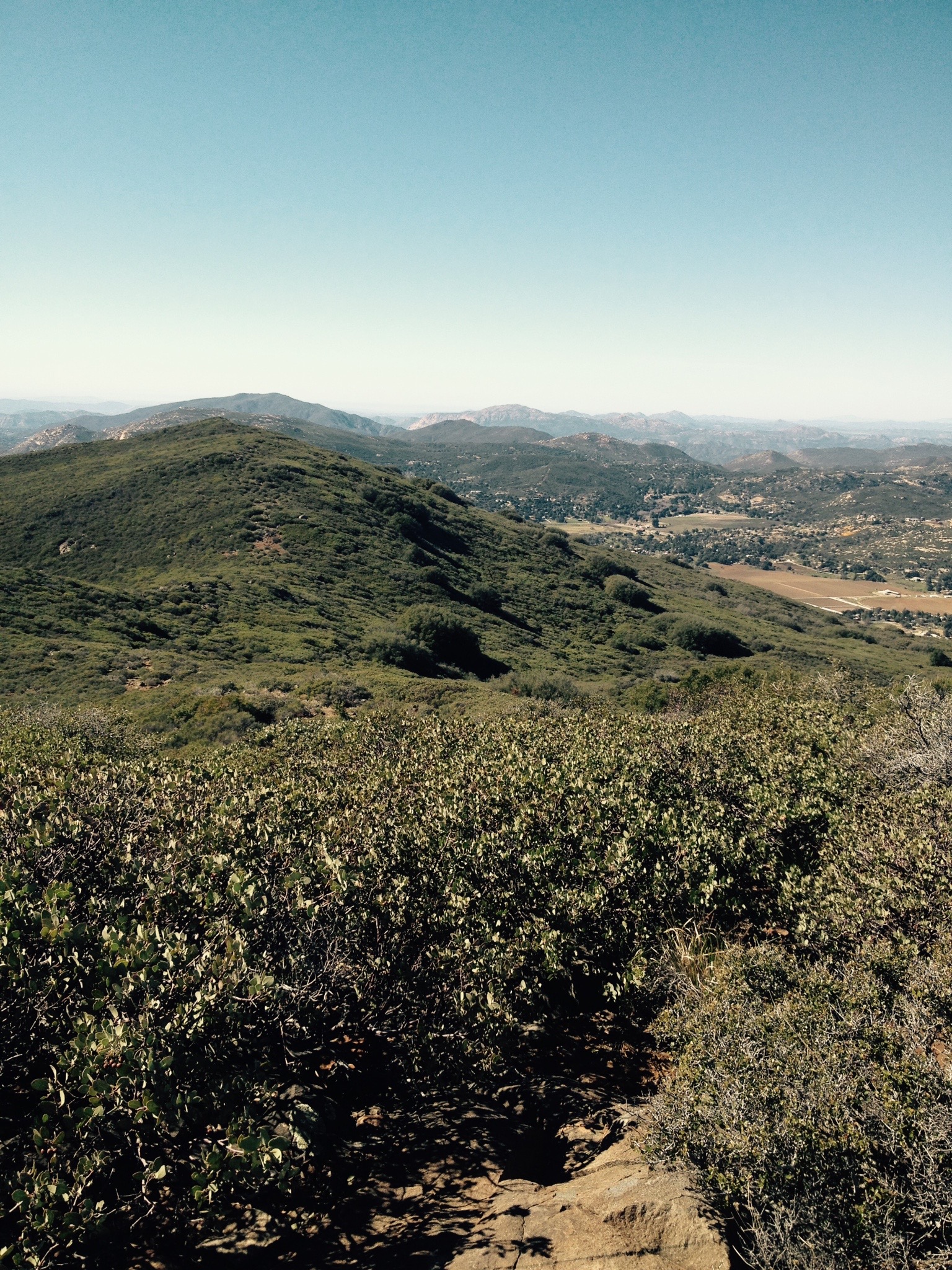
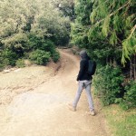
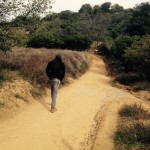
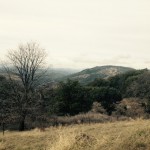
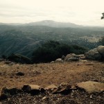
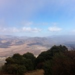
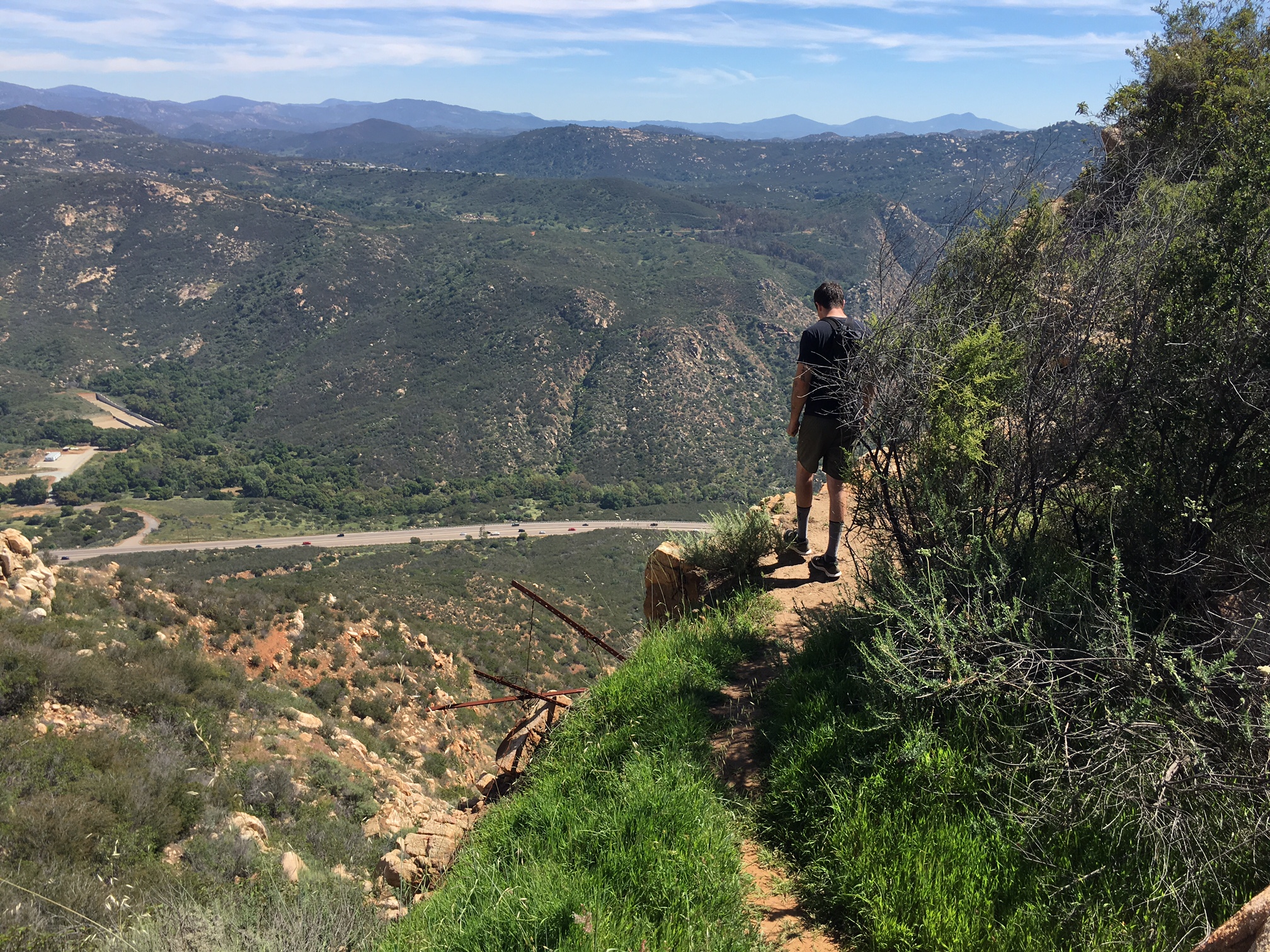
We hung out at the fall for about 20 minutes and were the only ones there, having seen maybe 4 others out on the trail.  However as we head back at 10:15 AM, more and more hikers were approaching us heading towards the falls.  Descend back the way you came and enjoy the majestic views of the canyon and surrounding mountain beauty.  As you approach the parking lot trailhead look to your left to see the famous “Indian Head.

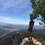
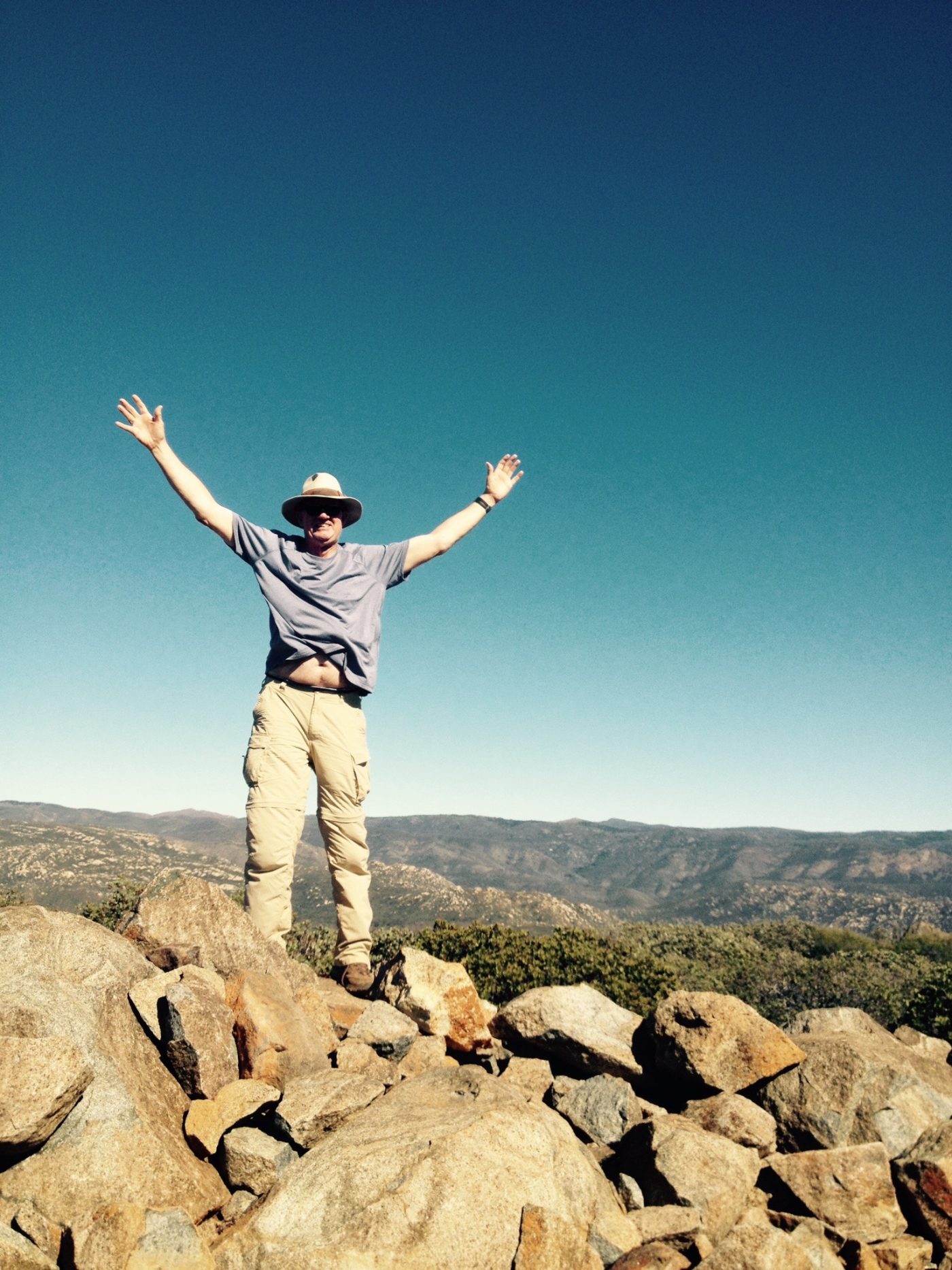
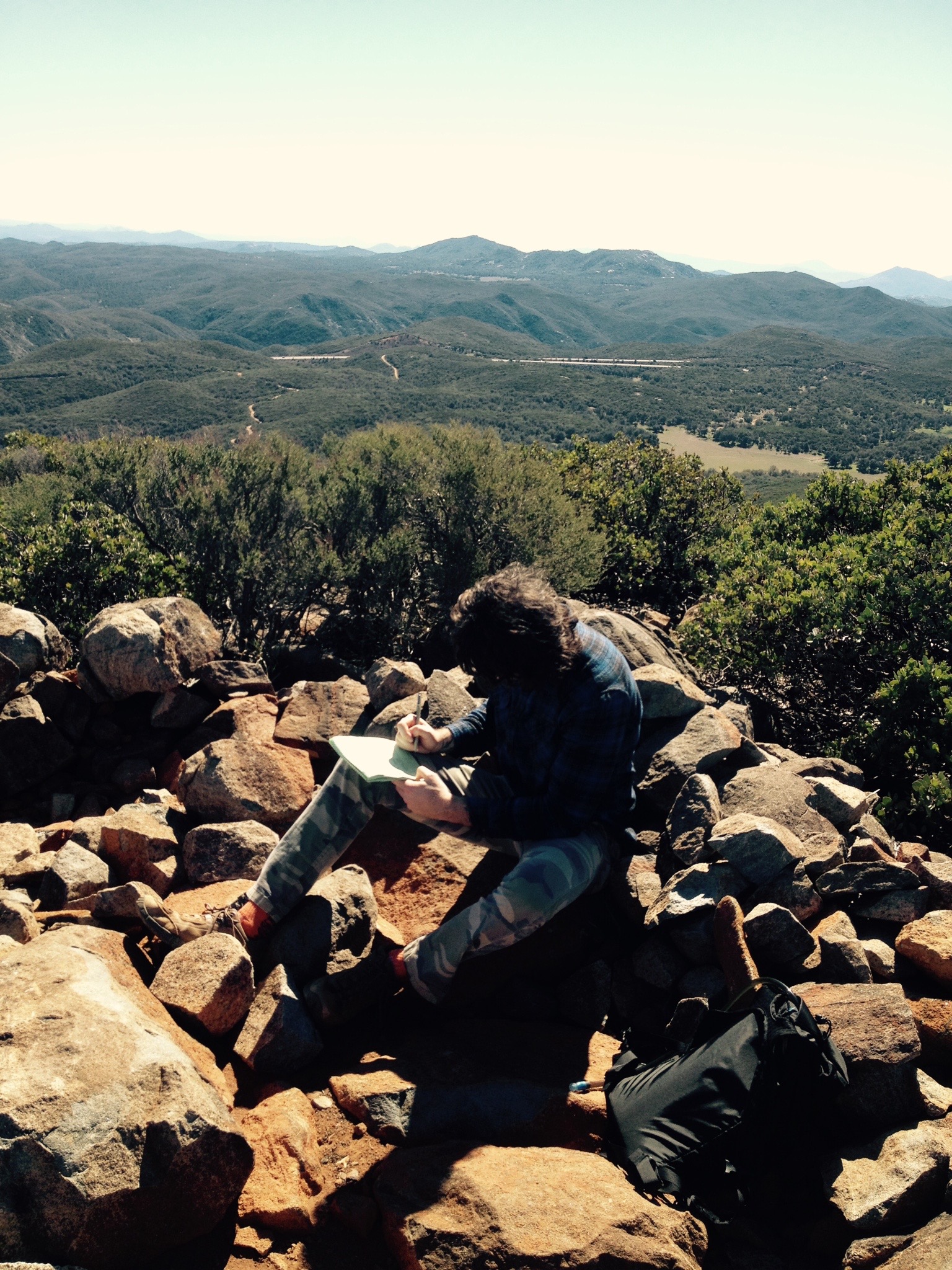
To see a totally different area of our county that one does not ordinary see or hike, Maidenhair Falls at Hell Hole Canyon Trail  Anza Borrego State Park, is yet another example of how fortunate we are to be living in an area that offers such diversity, geography and beauty..

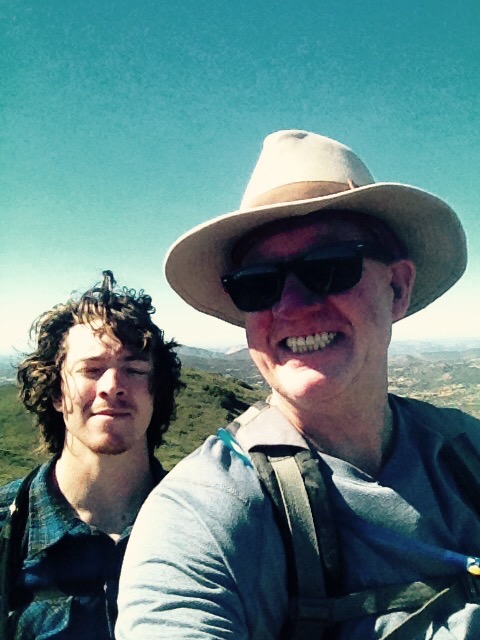
As always hike with a partner, water, water, water and something to eat.

HIKE-ABILITY:  Easy majority of the time first 1.75 miles, remainder moderate difficult based on some scrambling to get to the falls WATER:  1.5 liters used, 3.0 liters taken FOOD:  snack bar, hard-boiled egg, sandwich

Eagle Peak Hike: Julian CA 01/16/2017

Distance: 4.5 miles Elevation Gain: 1200 feet. Time to complete: 2 – 3 hours roundtrip Hikeability:  Moderate Strenuous

Water: minimum 2 L, more in heat  Temp on 01/17/17:  53 degrees  Snacks: Pro bar, hard boiled egg, sandwiches

Directions to Eagle Peak Trailhead  Directions Quik tip:  Once you are on Pine Hills rd. merge onto Eagle peak Rd..be careful to look for Boulder Creek Rd, Eagle Peak rd veers right Boulder Creek Rd to the Left.


San Diego County offers such an array of diverse hikes to satisfy every hiking trail mood, need and challenge. Eagle Peak, just outside of the town of Julian, Ca in San Diego County or as I like to call it one of the Trifecta hikes, does not disappoint if you are looking for a change of pace hike that offers what i consider the best views from any peak in the county and a robust 4.5 mile hike.


Eagle Peak Trail Hike Julian CA

The reason i call Eagle Peak a Trifecta hike is because of its proximity to its neighboring doozy of a hike at Three Sisters waterfalls and the challenging Cedar Creek Falls hike. In fact Eagle Peak has the same trailhead start as Three Sisters along with the ominous greeting of STOP as you start your trek at the warning sign gate.


You know you are the right place when Boulder Creek road suddenly is enveloped in cars parked along side of the road and as stated earlier the STOP sign gate marking the trailhead start. Right from the start the Eagle peak trail leads you to a rich experience of the areas natural beauty with a mix of not so distant mountain peaks, rolling hills, valley’s and surrounding growth of rare Englemann Oaks and various low lying brush and plant life.


Not more than a few hundred yards along, the trail dips down towards the point on the trail where you will start to hear the roar of the waterfalls at Three Sisters, soon the waterfalls will appear on your immediate left where you will come upon a tall wooden marker.   it is here where those who want to travel down into the ravine and on to Three Sisters falls will turn left, or in our case continue straight on past the marker towards eagle peak.


This trail is virtually a straight ahead course with slight climb up the side of the hill. The trail is moderate strenuous with no real “burn”. Continue until you come to a clearing with a “fork in the trail” veer left here and begin your steep ascent up to Eagle Peak. At this point you are about 1.7 miles into the 2.25 miles climb to the summit.


The trail continues to climb and gets to be difficult strenuous for a short distance. The trail levels off a bit before you yet again climb steeply. Don’t be fooled by the 2 false peaks, you are not there yet. The trail become steeper and turns into stepping up rocks to climb the trail.


You will soon see the “real” peak and a bowl of rocks to indicate you have made it. 3 geological markers pinpoint the summit, not too mention the breathtaking views of the valley below and the Peaks of Viejas Mountain, El Cajon Mountain and Mt Gower of Ramona in the distance.

And yes there are Eagles at the summit of eagle peak as one flew over head as we staked our accomplishment of making it to the top by high fiving each other I say the view from Eagle Peak rivals none in our county.


My hiking partner, who also is my son Sam, and I kept taking about how the surrounding Julian area offers such a different view.  We were fortunate to be hiking on this day what with all the rain we have had in recent weeks, the entire area as far as the eye could see was a sea of green. The total time ascending  to the Peak took us 1 hour and 23 minutes. distance to the summit was just over 2.2 miles.

Eagle Peak


As always: hike with a partner, pack water, snacks, first-aid kit and layered clothing.I highly recommend Eagle Peak as a hike that will challenge you but not exhaust you, provide you with a great sense of accomplishment with a reward of one of the best views from any Peak in the County…Have Fun Hike Safe

PS-  Hit Dunkin Donuts Ramona on the way back!

Dunkin Donuts Ramona

Off The Menu San Diego County Hiking Trails…A list of the best kept secret hiking trails in San Diego County

[et_pb_section admin_label=”section”][et_pb_row admin_label=”row”][et_pb_column type=”4_4″][et_pb_text admin_label=”Text” background_layout=”light” text_orientation=”left” use_border_color=”off” border_color=”#ffffff” border_style=”solid”]

We are so fortunate living in San Diego County for limitless reasons, however, since we talk about hiking here, lets talk hiking. Ive hiked a lot of trails in this county and still haven’t scratched the surface on the abundance of trails that are out there.  

Many of these trails are not commonly known certainly to the weekend warrior hiker, casual hiker, and in some cases even the hiker who considers themselves a frequent hiker.  It is because of that I am creating a list of Off The Menu San Diego County Hiking Trails…A list of the best kept secret hiking trails in San Diego County not commonly considered by the masses.

I am not listing these trails in any specific order, some are easy some are not, I will comment on each trail I list.


Off the Menu List:

Hell Hole Canyon, Valley Center, CA (Long, Difficult)

Hike Stonewall Peak, Julian, CA (Easy-Moderate)

Guatay Mountain: Pine Valley, CA (Strenuous)

Big Black Mountain, Ramona CA (Long and difficult)

Lawson and Gaskill Peaks: Hiking the East County  (Moderate)

Kwaay Paay Trail! Mission Trails Regional Park, Santee, CA (Moderate)

Bonus Off the Menu:

Devil’s Backbone, Mt. San Antonio (Mt. Baldy) Trail Los Angeles County (Long Difficult)


What to take to be safe when you hike these trails:  

Water: always bring more than you need, I know it adds weight but these trails can get tricky in the heat if you don’t have enough.  In fact, one or two of the trails listed Hikers young and old have died due to dehydration.  2 liters is safe, more in heat, I consider heat anything over 80 degrees. I hiked Big Back Mountain in Ramona a 14-mile roundtrip, it was 90 degrees plus, we took 3 liters each and ran out and had to turn around… Hike safe…


Snacks: I like Probars, Hardboiled eggs, Banana, and even lunch to relax at the Summit with.  You need carbs and protein some of these hikes can chew up 3000-4000 calories.  Probars are big on Carbs a great source, you can get these at Sprout’s or REI.


First Aid;  Nobody plans for an accident, twisted ankle, cut or blister, even a snakebite  but it happens, therefore always take at the minimum:  Sunscreen, Ace bandage, Moleskin, Band-aids, Space blanket, Nail clippers, Aspirin, Stomach meds, hand wipes, antibacterial cream, cortisone cream in case of poison oak.


Clothing:  Wear light clothing in layers, bring a rain jacket if any chance of rain, nothing sucks more than rain-soaked clothing.


Shoes:  More and more I see people hiking in low cut trail shoes or even running shoes.  I was amazed to see on the Mt Whitney trail people on much of the trail were in running shoes, then transferred over to hiking boots when the trail got a little rockier and a lot more demanding.  That’s said whatever you re comfortable in works, just be wary of uneven rocky trails which I discuss on the trail review.


Misc:  Cell phone, you may lose service but its a must anyway, some sort of all-purpose tool like a Swiss Army, or Leatherman, things break.  I recently hiked Mt.Whitney with my son, things were breaking left and right the Leatherman saved us big time.


Hike Safe:  Just like any hike, but certainly these listed, its best if you hike with a partner, not only make the journey richer but in case of a mishap you have support.


[/et_pb_text][/et_pb_column][/et_pb_row][/et_pb_section]

Big Black Mountain, Ramona CA

Location:  Ramona, CA, back country east on Highway 78 north east of the town of Ramona.  From downtown Ramona, head north on 7th street. Turn right onto Elm Street and continue for 1.4 miles. Turn right onto W Haverford Road then left onto Pamo Road. Follow Pamo Road for 5.2 miles to the gated Forest Service Road entrance on your right. Park along Pamo Road. map

Distance:  14.2 miles round trip

Hikeability:  Strenuous difficult

Water:  3 liters for 8 mile round trip due to heat, less if cooler.  It’s best to bring more water than you can consume, the extra weight is well worth it and more water consumed the extra weight will dissipate;

Food:  You will burn a lot of calories on this hike, pack a lunch, plenty of snacks


One of the more demanding hikes in San Diego County is Big Black Mountain, which is off of Hwy 78 just Northeast of Ramona. In fact this hike provides such a strenuous challenge that most who do it, do it in sections. So for the purposes of this writing I will call Big Black Mountain in Ramona, a section hike. That said this is one of the more beautiful hikes our county has to offer, and that is saying a lot due to the varied topography and multitude of hiking trails we are so fortunate to have. Like all back country hiking in San Diego County, much of the beauty is in the drive out to the trailhead, Big Black Mountain Ramona does not disappoint here. As you drive along Pamo Rd., the one road into the trailhead location, you are surrounded buy the rolling hills, the not so common Engleman Oaks, distant Mountain Peaks of the area, and finally the trailhead up to Big Black Mountain ascending rather steeply above the remote and scenic Pamo Valley.  As you continue on Pamo road you will come to a one-lane concrete bridge which crosses Santa Ysabel Creek, the trailhead is another 1.4 miles beyond the bridge on your right and is designated Forest Road 12S07, or Upper Santa Ysabel Road.  Once there you can park off the road and head towards the gate and trailhead start.  The vrown jewel of this 7.1 one way hike is the grove of Pine Trees at the sumit. You can see the Pines from the trailhead start and will have them ion your sights much of the climb to the top.  This hike is not foregiving as it pretty much is uphill the entire hike.  That is why many choose to break this hike up into 2, two separate day sections.


That said if you try to pull off this hike in cooler weather, and if you bring an appropriate amount of food, and water, the 14.2 is doable. On this day we hiked 4 miles and called it a day. The temperatures were in low 90’s, and although we brought adequate food and water supply, we were running low on both and decided to call it a day at the 4 mile mark, thus making our hiking experience a just over 8 mile trek. I’d list this hike as strenuous, based on its constant and relentless climb that although not steep, you do climb 3000+’ in 7 miles. at the 4-mile mark we had ascended roughly 1500′. The trail composition is hardened dirt/sand, few spots of rocky, but since its original design/purpose is that of a road, this trail is well suited for such a long trek. The scenery is the highlight of Big Black Mountain trails, as surrounding you 360 degrees are views of the local and distant mountains and hillside and to the southwest you can see Mt. Wooden and Iron Mountain Poway. The trail is pretty exposed much of the way with little protection from the sun, although there are 2 spots along the way which do give you shade from overhead tree and the hillside. The trail wanders and switches back and consistently in a large looping way and except for a few small sections is a continual incline ascent, certainly for the first 4 miles we did. We averaged just over 2/MPH on this hot dry day and if not for a small to medium breeze that blew up more times that not this hike would have been a lot more challenging than it was. You will expend a lot of calories on this hike, especially in the heat. Our 8+ mile round-trip burned 1500 calories. Bring plenty of snacks, food and at least 3 liters of water, due to the over 90 degree heat. less if cooler We are planning to do part 2 of this section hike soon, as we are using Big Black mountain as a training hike for our upcoming Mt. Whitney adventure, another section hike on our list.  Big Black Mountain is listed in the 100 Peaks guide SD Peak #70 and a must hike for the avid hiker who appreciates a hiking challenge.

Each hike has a life of its own, offers diversity unique to that trail, and provides a great sense of accomplishment as you start from point A journey to point B, and then back to point A.  Each hiker receives their own sense of Reward, Peace and fulfillment in their own special way.

Hike safe…

My Top Ten Hikes in San Diego County

Here are my Top Ten Hikes in San Diego County.  These hikes are not necessarily listed in any particular order based on favorites…Some are less difficult than others but all offer a different beauty, a different challenge and a different trail type to keep you interested and on your toes…Pardon the Pun……

What ever Top Ten Hike in San Diego County you choose…..Hike Safe, bring snacks and lots of water………

Here Are My Top Ten San Diego County Hikes…….

Stonewall Peak, Julian, CA

Double Peak, San Marcos, CA

Los Penasquitos Canyon Trail-West Approach, Carmel Valley, CA

Iron Mountain Poway, CA

Monserate Mountain, Fallbrook, CA

Volcan Mountain Wilderness Preserve, Julian, CA

Cedar Creek Falls, Julian, CA

Cowles Mountain, SD, CA

Mt. Woodson, Poway, CA

Stanley Peak Daley Ranch Escondido, CA 

and as a bonus, this great urban hike through San Diego

7 Bridges San Diego


Hike Stonewall Peak, Cuyamaca Rancho State Park, Julian, CA

Where:   Stonewall Peak, Julian, CA. The trail-head is easily located across highway 79 from Paso Picacho Campground, the trail is easy to get too, easy parking and is part of the Cuyamaca State Park system.When: Sunday, May 22, 2016,

Hike Distance/Hikeability: 4 miles,  Moderate-Strenuous, elevation gain from 4860 feet to 5360 feet

Weather:  Temp:  72

Needs:  snacks, 2 liters of water, if its warmer than 80 degrees, more water.

If you are looking for an out of the way, backcountry adventure, that offers spectacular views, a challenging trail, and one beautiful drive to get there, then Stonewall mountain, Julian is the trail for you. 

The trailhead for Stonewall starts across the street from the campground entrance, is well marked and welcomes you with a hard compacted sand trail that start’s your journey to the summit. 


The steady ascent begins as soon as you pass the “Climb with Care” sign and although not overwhelmingly strenuous this trail for much of the hike offers a moderately strenuous challenge.  


As you ascend the trail great views from every turn are offered as the trail get s rockier and takes on a “switchback” type of path. Though only 2 miles to the summit, Stonewall feels like a much “bigger” hike.

About 50 yards from the summit giant boulders dotting the peak and surrounding area appear.   Stonewall Peak has been kind as it offers a stairway for the final burst to the Summit. 


A guardrail provided a safeguard and although relatively safe in non-snow and ice conditions be careful on the last 100 feet of the journey.

The views are incredible. From here you can see the Salton Sea, looking closely to the northwest the Palomar mountain Observatory can be seen as well as the trailhead where you  began this scenic back country journey .

The beauty of hiking San Diego County is just that…Beauty. Also an opportunity to climb Peak after Peak for the very first time. Stonewall Peak is a Peak I hadn’t climbed and not only is it on the Top 100 Peaks to climb in our area but it is a rare relatively unknown hike that offers so much…


On this Sunday, I was pleasantly surprised to see many families on this trail as well as couples and hikers of all ages.   An added benefit to hiking the Julian area is that you are close to the town of Julian, which can only mean one thing! A stop ay Apple Alley Pie shop.

if you haven’t been, please consider   I say the Caramel Pecan Apple Pie makes this the best pie shop in town and one that not many know about. The shop is right on Main Street right off of “Apple Alley”

Hiking offers so much: Peace, accomplishment, spirituality, exercise and a way to stay mindful, present in the moment.  I hope Stonewall Peak will offer you this and more, HIke safe..


Stanley Peak Daley Ranch Escondido CA 03/20/2016


Hike Time and Distance:  5-6 mile loop depending on trails taken 3 hours total with a 20-minute break at the summit

Water/Snacks:  2 liters minimum depending on temperature.  Pro Bar, hard-boiled eggs.

Hike ability:  moderate-difficult depending on your skill level.  Climb to the Peak the most strenuous.

Directions: 3024 La Honda Drive Escondido, CA 92027

Located in Escondido in North County is a hidden, or not so hidden jewel of an oasis of hiking trails that will appeal to all hiking skill levels.  This was not the first time hiking Daley Ranch, but it was my first time to Stanley Peak.  The beauty of hiking Daly Ranch is its well marked trails, a large Map board

Meet-up with the Eastridge trail as so as you enter the trail, make a right right and keep going until you hit the Sage trail, pass the water tower on your right and this this will take you all the way to Stanley peak.     


The trail for the most part is hard packed sand and earth, however as you approach the strenuous climb to Stanley Peak the trail gets rockier and a bit more challenging. The unannounced summit to Stanley Peak offers great views and a hike journal.   Take a break, drink water, enjoy a snack and take in your accomplishment of another Peak summited in our county.


The return trail is the same Sage loop which you ascended on and  at one point makes its way  wanders left and another loop back.  We choose to go the longer route back and check out a different section of the trail.  This portion of the Sage Loop offers different chaparral, plant life, a lake  and diverse trail composition.    Sage Loop will lead you to Jack Creek Meadow Loop, make a left here and you will be joined in with the main trail and your way back.  Soon you will approach the Ranch House on your right, new restrooms on your left and the Asphalt road back to the trailhead start.  The beauty of Daley Ranch is that their is  hiking trail for everyone and most trails lead into another that will get you around the ranch. It is advised you download a map or print one out from the site I linked.


The Stanley Peak Hike is one of the more fun hikes Ive done in awhile and as my hiking partner said ” We need to make this one of our go to hikes!’, so true.

Guatay Mountain: Pine Valley, CA 02/15/2016

A hike that offers a “Big Hike” challenge and feel to it is Guatay Mountain in Pine Valley. I have not hiked Pine Valley much but it is a beautiful area in our County east of San Diego past Alpine. The beauty of this hike among other things is no matter what time of year you hike Guatay, while the temperatures in the east County area may be much warmer, in Pine Valley due to the altitude, you can expect much cooler temperatures. I have listed below how to get to Guatay Mountain


The staging area at Guatay offers a good size parking lot, complete with campground style restrooms that are clean and well kept. The trick to finding the trail-head start is to first parking in the allotted concrete parking area and than back track on the rode you drove in on. At approximately the .7-mile mark look for the sharp curve/bend you drove in on and off to the left you will see the trail/path that will lead you to a gated fence.   Once you find the gate you are on your way. This trail offers a lot of divers trail conditions, starting with backcountry path type composition, to hard rock; red clay and open trail compact sand and rock.    

It is one of the reasons I really liked this hike. The first mile of this hike offers a strenuous climb, once you conquer this part of the trail you flatten out and start heading to the right with the peak of Guatay in site. As you approach the peak you dip down the trail and start to see one of the rewarding parts of the hike a grove of Tecate cypress trees, (Cupressus forbesii) growing on the north side of the slope.   


As you approach the very steep climb up to the peak, take heart although steep, you are soon to conquer yet another peak. After you make your way to the top of this steep climb, don’t be fooled you still have a bit of a way to the “real’ peak which you will soon find marked by a circle of placed rocks.   Stop here rest, have a snack and take in the incredible views. The views many of the peaks that easy County offers are one of the main reasons East County hiking is my favorite hiking to do. 


Keep an eye on your back trail to help find your way back, and do not forget to enjoy the many native plant species along the way. Mariposa lilies, Collomia grandiflora, manzanita, ribbon wood, chamise, scrub oak, buckwheat, white sage, spineflower, penstemons, and green gentian are just a few of the species you’ll spot along the way.  Once at the summit don’t forget to sign the hiking journal. 


This hike is deceiving, and although barely a 5 mile hike, you feel like you have hiked much more. It is because of this that I consider Guatay Mountain a moderate to difficult hike.

That said this hike is well worth the effort, challenge and offers a great sense of accomplishment and reward. As always prepare before you hike, bring at least 2 liters of water, snacks and on this hike a lunch.  

Hike safe……Have Fun!

Directions: from downtown San Diego: 45 miles. Allow 50 minutes driving time. From I-8 east, take the Pine Valley exit and head north to Old Highway 80. Drive 1.5 miles to the turnoff for the Pine Valley Trailhead. Turn left and drive half a mile to the parking area. Walk back .7 mile look to left you will see path lading to trail. A National Forest Adventure Pass is required to park. There are restrooms at the trail-head.

Hiking length: 5 miles.

Difficulty: Moderate, with a little over 1,000 ft. total elevation gain/loss.

The trails (steep and rocky at times) are well maintained and marked. The main danger is not bringing enough water on a hot day, and you may occasionally see (and need to avoid) rattlesnakes and poison oak.

Volcan Mountain Wilderness Preserve, 1209 Farmer Rd, Julian, CA : 01/21/2016

This hike is one of my favorite adventure hikes in the county. The adventure starts with the winding open road east through Ramona to Julian. Pure backcountry driving and scenery of San Diego County.  Drive time approx. 90 minutes from the coast. (directions below)  The Preserve is located 2-miles north of the historic gold-mining and apple-farming town of Julian, CA.

The Volcan Mountain Wilderness Preserve encompasses nearly 3,000 acres. The 5,25-mile round-trip Volcan Summit Trail climbs to an elevation of 5,300 feet, offering spectacular 360-degree views from the desert to the coast.


To begin the hike, pass through an inspiring gateway designed by renowned artist, James Hubbell. The Five Oaks Trail offers a scenic alternate route branching off the main trail 1/2 mile from the Gateway. You can turn right here or continue on the main trail to a gate which is about a mile from the summit.

Either way, you are on a well-marked, compacted sand and earth easy trail to navigate and hike. Much of this hike is surrounded in Conifers, California Oaks, Manzanita and the occasional Mistletoe tree.

Near the summit is an old, hut/structure that was once an outpost for engineers and astronomers looking for an optimum location for the Hale Telescope, which eventually found a home atop Palomar Mountain. From this structure, you have about a half of mile up to the summit.

Both times I’ve hiked this trail its been super windy and cold, but the views are well worth the strenuous climb. Once at the top the trail loops around eventually leading you to the summit. As you near this Cuyamaca lookout point look for a pine bench that has very cool carvings etched into it. Also, from the summit you can see below to the Salton Sea and the far-reaching Anza Borrego desert.

Great views of Cuyamaca Mountain and the outskirts of Julian can be seen as well. On the descent alternate the trail you took on the ascent so you can take in some different flora and fauna along the way.

Much of this plant life is marked with a good description of what it is. Once you get back to the gateway and are making your way to your car consider a victory treat at the best pie shop in Julian. Apple Alley Bakery and Pie Shop, Ask for the Caramel Apple Pecan Pie with Cinnamon Ice cream. THE BEST!

If you are up for a day adventure Hiking the back Country of San Diego County, this is the hike for you..have fun, be safe, take your time and soak in the richness Volcan Mountain Wilderness Preserve has to offer…..

Hike time and Rating: To do the 5.25 miles it took us 2 and 1/2 hours with a break at the top for snacks. This is a doable well-marked hike.  The most strenuous part of the trail is near the top, most of the hike is moderate.

Weather and Dress: On this day the temperature was 52 degrees and very windy. Dress in layers, be ready for multiple weather changes along the way.

Water and Food: I took 2-L of water but it was only 52 degrees. In summer I’d double that. Snacks always include protein and Carbs.  I took along 2 hard-boiled eggs and a pro bar.

probar_superfruit_slam

How to get there: (from all coastal and north inland communities) Head east to Escondido, take Hwy 78 past the Wild Animal park into Ramona left on 78 to Julian.
From the intersection of Highways 78 &79 in Santa Ysabel, head east (SE) on Highway 78 approximately 3 miles to the junction with Wynola Road. Turn left onto Wynola Road and continue another 3 miles just past Julian Orchards Drive to the ‘scissor-intersection’ of Wynola and Farmer Roads. IMPORTANT:

This ‘scissor-intersection’ can be tricky if you’re not following the directions. Do NOT turn right onto Farmer Road across from Julian Orchards Drive. Just after you pass Julian Orchards Drive, turn left onto Farmer Road, and then follow directions below from Wynola and Farmer Roads A service intersecting Farmers Road is on the immediate right, you can park to the side of the road and then make your way up th ‘driveway’ to the trailhead. 

Double Peak Mountain Trail: North San Diego County 09/26/2015 Hiker Therapy

lake1If you are looking for a good go to hike and are in North County, Double Peak in San Marcos is the hike for you. This hike is easy to get too, it is a clean and well designed out and back trail, and it offers enough challenge, climb, and distance to give you a good workout along with a sense of accomplishment. There are a few ways to approach the trail, the one I usually choose is the trailhead at the end of Foxtail Drive, which leads you to a small parking area at the end of Foxtail. You can start either side of Discovery Lake, one side leads you past the lake on your right and over the bridge, The trail up to the summit leads to the left.

The trail ascends up winds to the right and you are off and climbing. The remainder of the way is a gentle climb, flattens out on a very well made compacted sandy trail. Keep climbing until you get to the road, which leads to the summit. Along the trail notice the sections that were burned in the fire and the new regrowth that is happening. The trail will end along side the road that leads up to the top.

As you follow the trail (sidewalk) up the road you will come to a point where you can rejoin the more rugged rocky part of the trail or you can continue up sidewalk. I prefer the trail as it adds to the challenge and provides a more rustic experience to the hike. As you ascend to the top turn left and you we see the tree. Ascend a steep section to the summit and you made it to the 1646-foot summit of Double Peak Mountain! The summit has picnic tables a restroom and a great view of mountains east, Palomar College Cal State San Marcos and to the west the Ocean.   

Take your time enjoy the great views and reward yourself with the peaceful setting the summit provides. The distance from the lake to the summit is 2.3 miles which takes an hour or less. The descent down should take you 40 minutes.

Our county has many great hikes, most of which are south and east of us up here in North County. However, for a hike that is close by and still offers the feeling of ascending a mountain try Double Peak. Afterward Sonic for a snack!

Distance & Time: 4.6 miles 2.5 hours with 40 minutes at the top

Water & Snack: 56 oz and a Pro Bar

Time & Tempature: 4pm 85 degrees

Restrooms: At trailhead start in parking lot and at summit,,,,,,,


Getting there: Take Highway 78 to San Marcos Boulevard. If coming from the coast, turn right. If from the 15, turn left. Turn left onto Bent Avenue, which will turn into Craven Road. Turn right onto Foxhall Drive, and then turn right into the Discovery Lake parking lot or park along the street.