Master’s Level Life Coach Certified Addiction Specialist. Nature-based healing for addiction recovery in parks, on trails, or via telehealth.
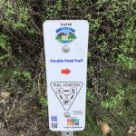
Double Peak Trail San Marcos, CA 03/04/2018
Distance: 4.6 mi Hike Time: 1:15pm to 3:45pm Steps: 9972 Elevation at peak: 1646′
Elevation Gain: 1000′ Water: 1.5 l Snacks: Redd bar and hard boiled egg
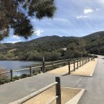
Hikeability: Moderate Getting there: Take Highway 78 to San Marcos Boulevard. If coming from the coast, turn right. If from the 15, turn left. Turn left onto Bent Avenue, which will turn into Craven Road. Turn right onto Foxhall Drive, and then turn right into the Discovery Lake parking lot or park along the street.
Discovery Lake Hiker Therapy
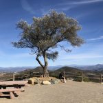
Double Peak Trail is one of my top 4 hikes in North County San Diego along with Lake Calavera Preserve, Oceanside, Daly Ranch, Escondio and Monserate Mountain Fallbrook, CA. Double Peak offers a very clean trail, well marked, easy access, excellent trail conditions and the famous “Tree” at the peak which can be seen from miles around.
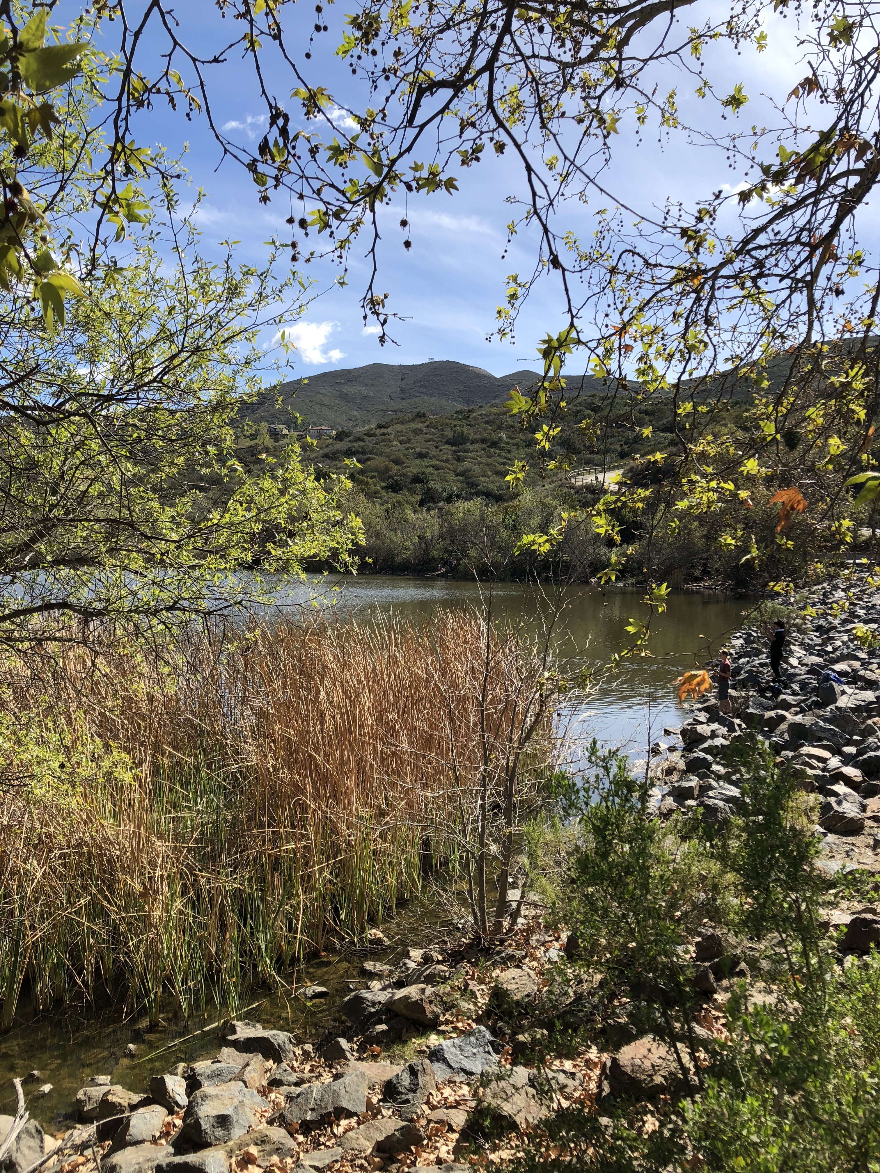
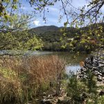
Double Peak Trail is part of the Discovery Lake Park system, which includes Discovery Lake and Discovery park. Both of which offer a great family place to play, fish, picnic and hangout on a weekend day or any day for that matter.
Double Peak Trailhead Hiker Therapy
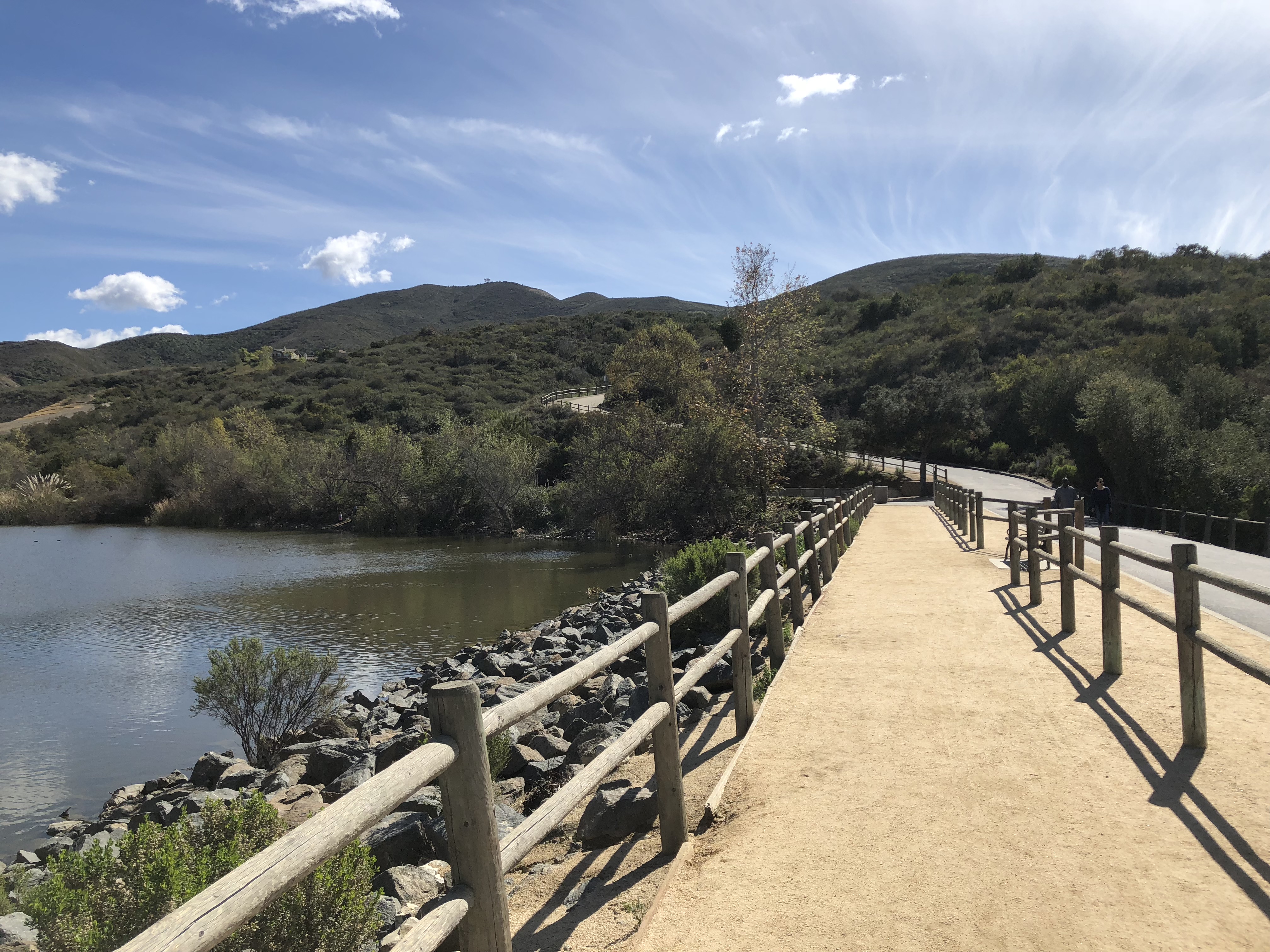
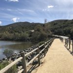
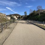
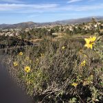
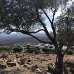
The trailhead to Double Peak starts at Discovery Park and its beginning trail leads you right alongside Discovery Lake. If you prefer you can start at the opposite or top end of the park and wind around the lake and join back up with the main trail up to the peak.
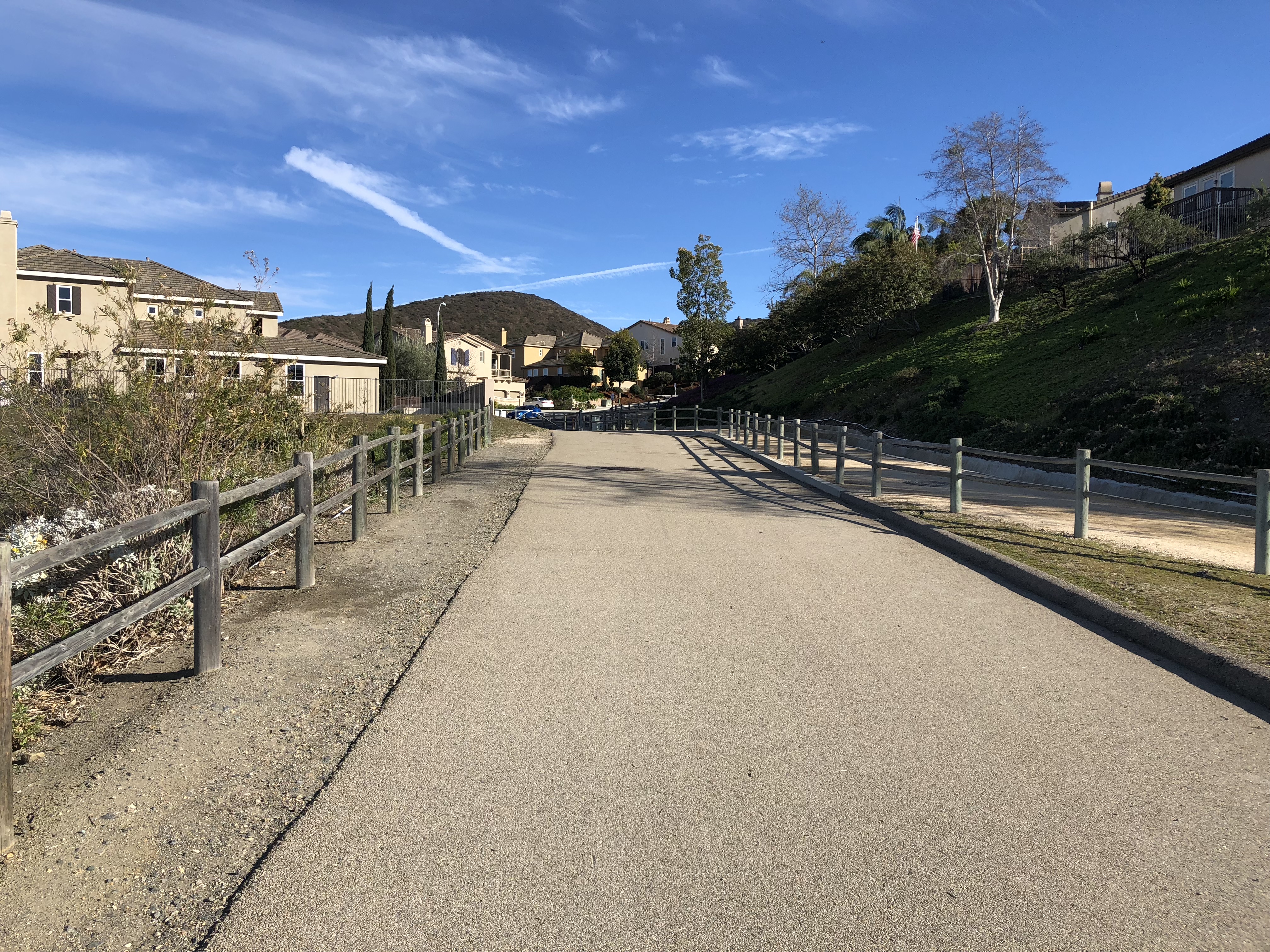
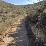
In fact the beginning part of the trail is a service road that leads up into a local neighborhood and then up a residential street which connects you to the “Real” trail. This beginning service road always is the most challenging part of the hike for me.
Its a steep climb and its right when you start out, so be prepared for some “legburn” before the trail evens out and heads into the local neighborhood. The neighborhood road up is about 1/4-1/3 of a mile before you reconnect with the Double Peak Trail.
Urban Hike part Hiker Therapy
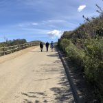
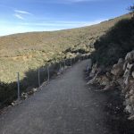
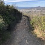
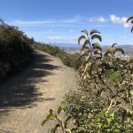
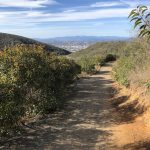
At the top of the street, you cross over to the main trail. Once on this part of the trail you are hiking on hard packed sand up most of the way to the peak. As you wind up halfway to the peak the trail does turn to a rockier composition but then again returns to the hard packed sand trail composition.
Soon you will climb high enough to start picking up good views of North County as well as California State University San Marcos to your east. Much of this trail surrounding vegetation has been burned in recent years fires, but much of the brush, plant life and chaparral has grown back.
Trail spur left, steep trail in background, road up to Peak Hiker Thera
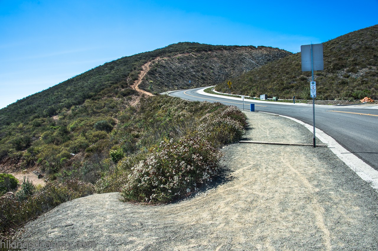
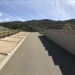
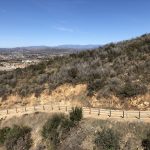
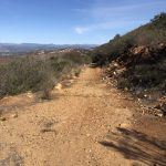
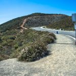
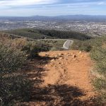
As you continue to climb and at the 1.8 mile mark you will come to Double Peak Rd. This is your final climb up as you stay left on the sidewalk. At the 2 mile mark you will come to a trail spur that dips down to the left.
This is an option that will get you to the peak, (of the three ways up I say this is the most challenging option) and well worth getting off the main trail. This spur will take you to the opposite side of the Double Peak summit.
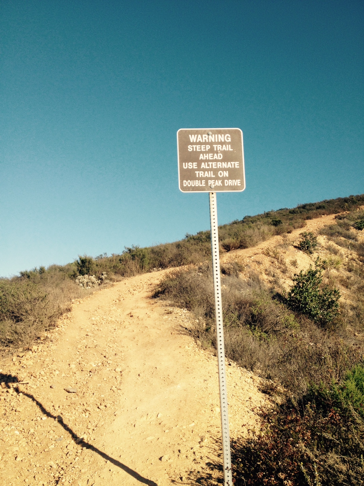
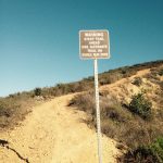
Trail to Steep Sign Hiker Therapy
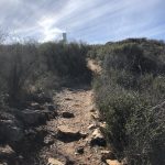
You can also continue on to the “Steep Sign” marker, you can take this dirt trail up but beware its a leg burner and as the signed has warned us its steep. Most who ascend Double peak take the sidewalk along side Double Peak road up.
But come on! This is a hike! and the more adventure and spice you can add to the hike the better I usually go up the “Steep” trail sign way. Although recently I have been going the trail spur to the left and the first of the 3 options that you come to.
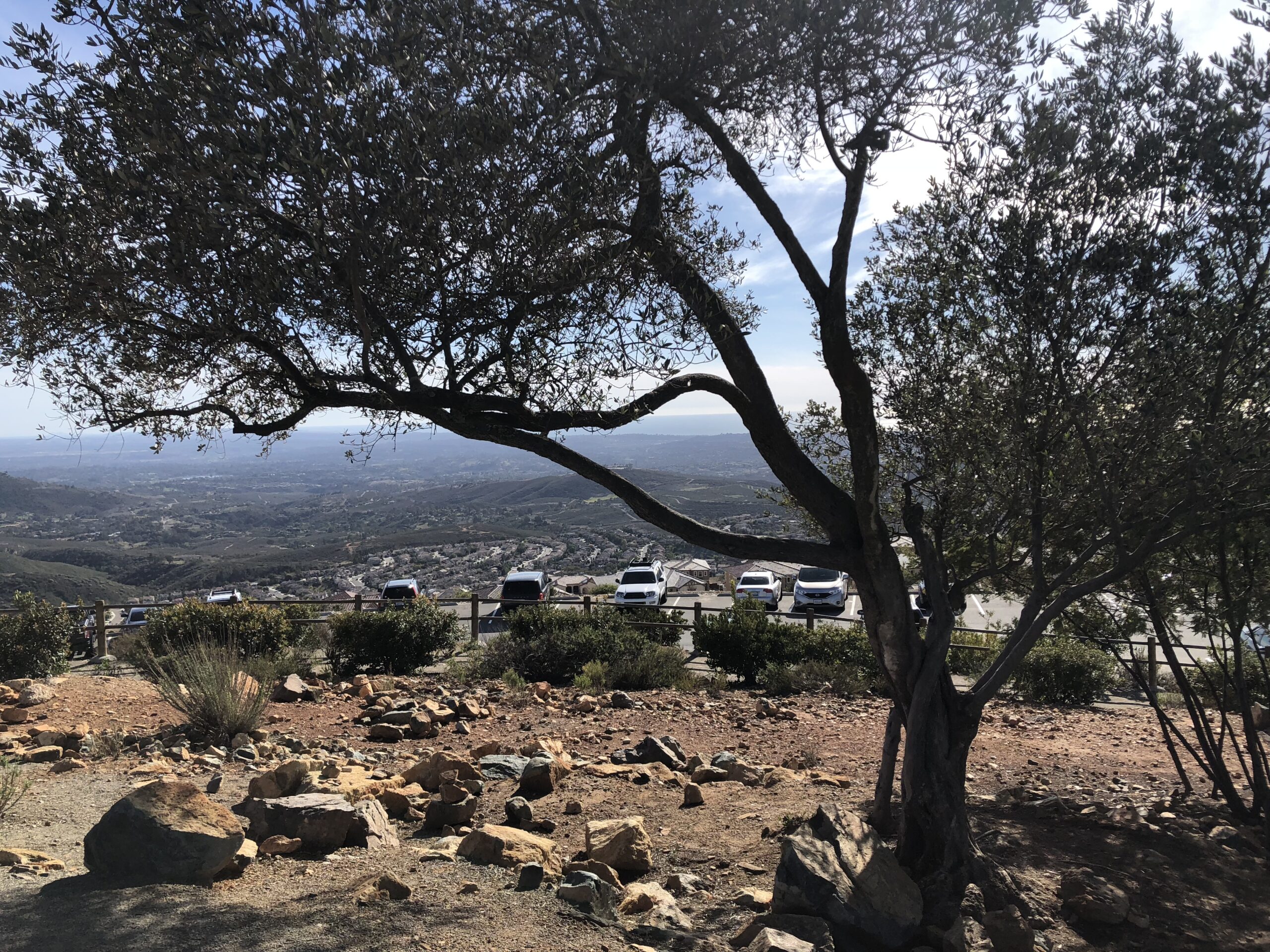
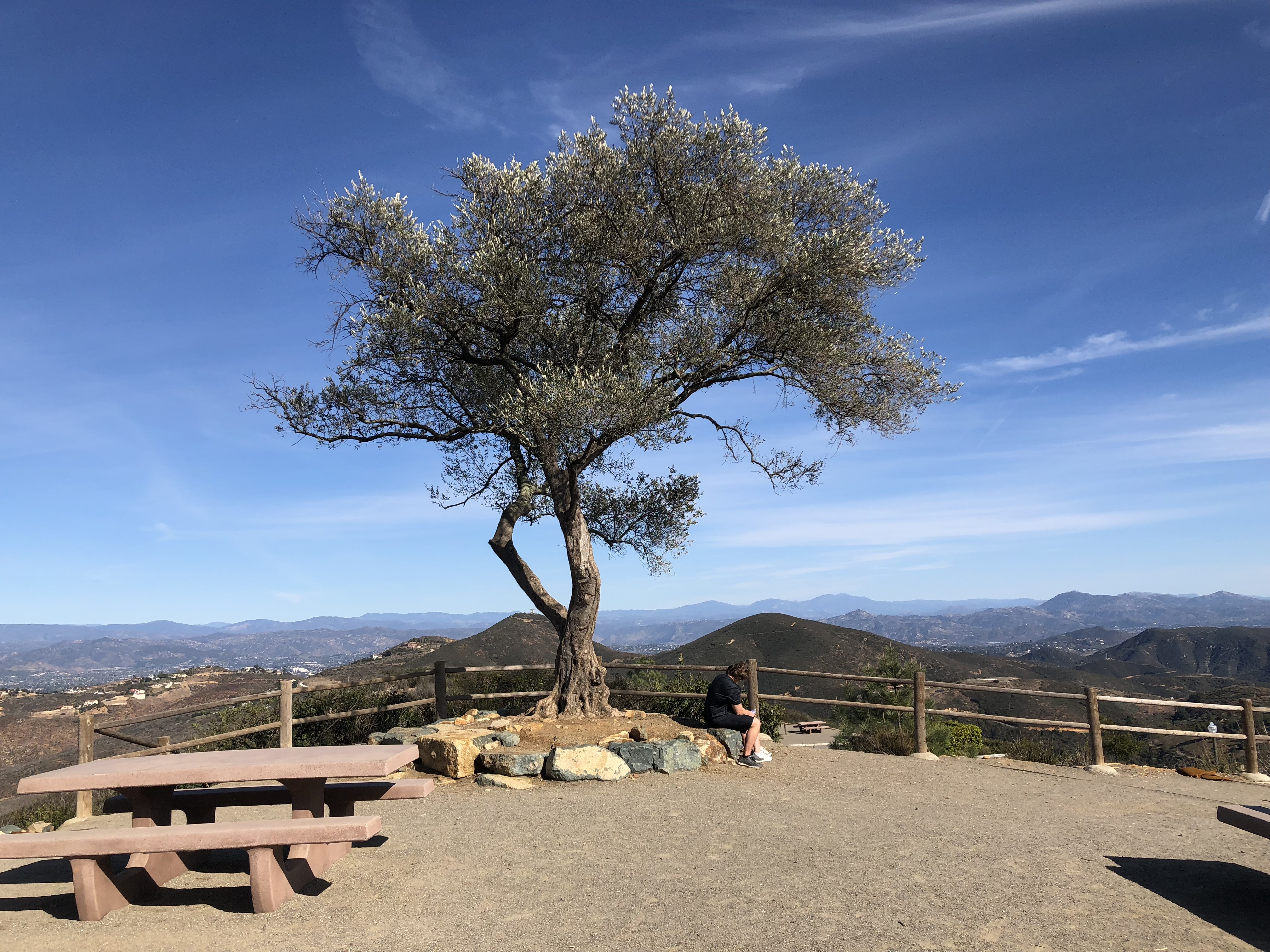
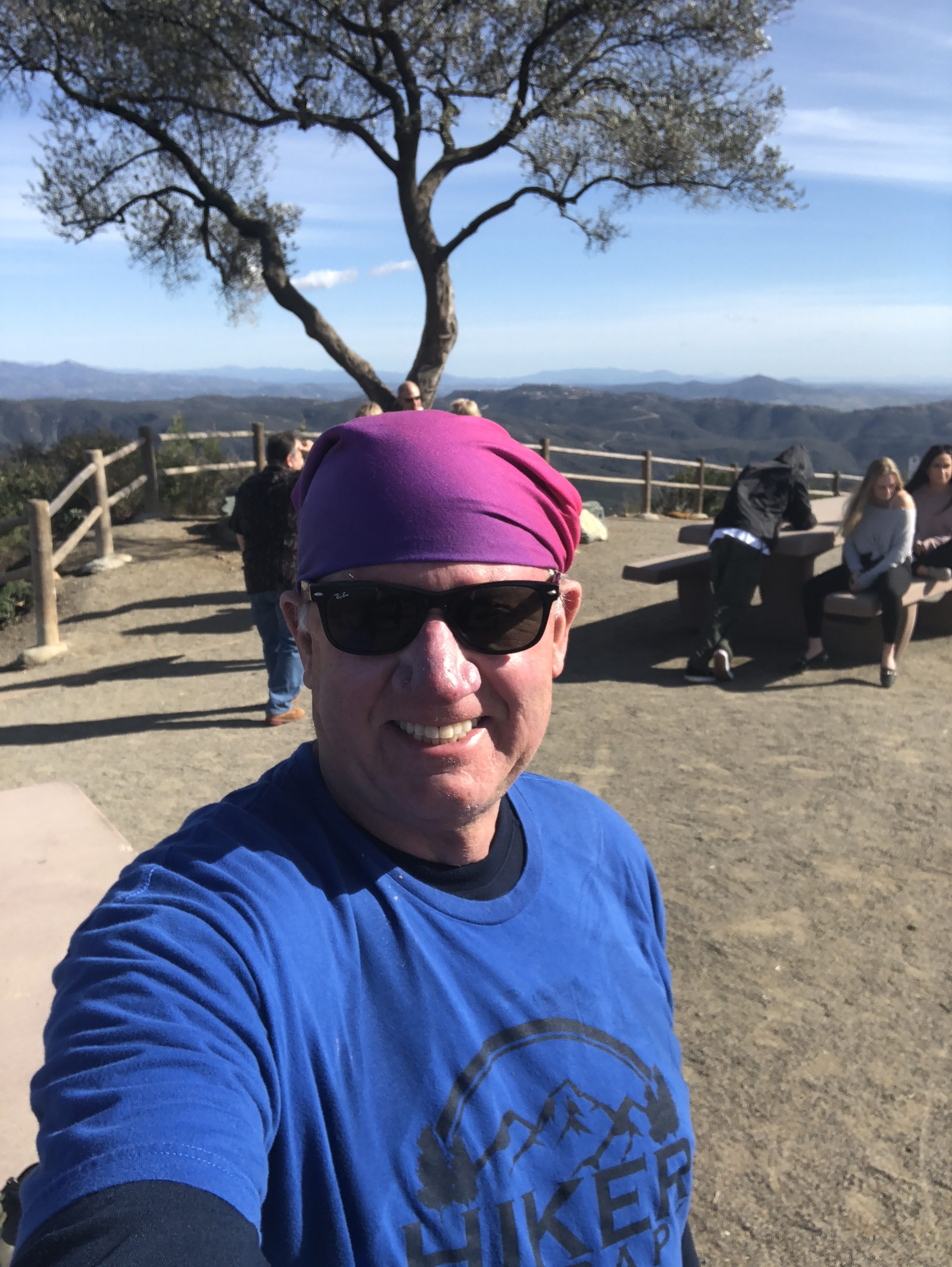
Double Peak Summit Tree Hiker Therapy
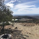
Either one of the three ways you will summit Double Peak and enjoy the 2.3 mile hike up and the views of the distance Palomar Mountains and on a clear day Mt. Baldy and the San Gabriel Mountains.
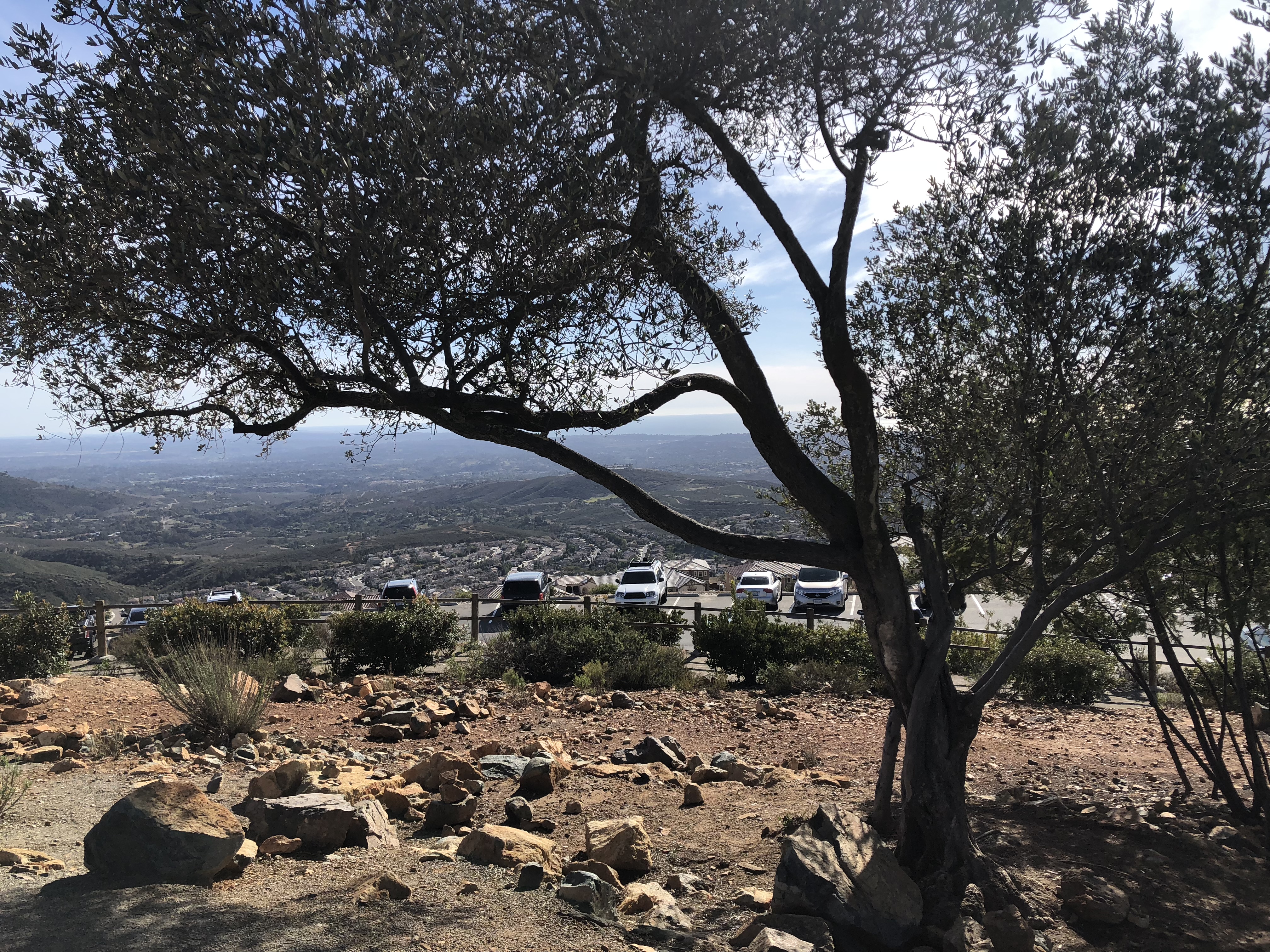
To your immediate east you will see a pointed peak, thats Mt. Whitney, not “The” Mt Whitney. You will also come face to face with the Double Peak Tree! Looking west the pacific Ocean and south the coastline of San Diego County.
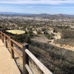
Gorgeous View looking South East from Summit, parking lot adjacent Hiker Therapy
Most of the people at the peak have driven up Double Peak road, so congratulate yourself on your hike up and enjoy a snack and the gorgeous 360 degree views. There is a restroom at this peak that is well kept by the local park ranger.
Me at the Summit Peak Hiker Therapy
Double Peak is one of my go to local hikes and one that provides a good challenge, a nice sense of nature even though you are hiking through a suburban neighborhood some of the way.
A good sense of accomplishment and at roughly 4.6 miles a good enough challenge to make you think you’ve gotten a good workout, which you have, as most times a few hours after I get back home my legs will attest to.
As always, hike with a friend, respect your limits, respect your friends limits, take more water than you need, a snack and remember its not a race, enjoy each foot step along the trail
Hike On!
Discovery lake view of Double Peak
Hiker Therapy
Double Peak Trailhead
Hiker Therapy
Urban Hike part
Hiker Therapy
Trail to Peak after crossing rd.
Hiker Therapy
Trail spur left, steep trail in background, road up to Peak
Hiker Therapy
Trail to Steep Sign
Hiker Therapy
Gorgeous View looking South East from Summit
Hiker Therapy
Double Peak Summit Tree
Published by
Mark
My name is Mark Lees and I was born in Detroit, Michigan and moved to San Diego in 1976. I now live in Oceanside, California. I have a son age 26 who is my hiking parter, and thankfully got me started into hiking four years ago. I have a Masters degree in psychology with an emphasis in Marriage and Family Therapy from Chapman University, as well as a certification from the California Association of Addiction and Recovery Resources as an Addiction Recovery Specialist. For fun and self-care I like to Hike, Starbucks to both energize and relax and see as many baseball games as I can each season. The spirit of this website is the same passion that led me to create HikerTherapy.... "Hiking for the Mind, Body and Soul..."
View all posts by Mark