
 A hike that is a mainstay of my top hikes in San Diego County is Iron Mountain in Poway, CA. Located off of HWY 67 this hike never disappoints as it provides a rich balance of distance, challenge, hike-ability, scenery and accomplishment all rolled into a roughly 6 mile hike. The trail is a good mix of compacted sand/earth and rocky terrain, each provided at the appropriate time. The beginning of Iron takes you through a canopy of trees crowning your start to the hike. As you get about 1/4 mile into the hike the trail starts to climb, whether you take the side trail that veers off to the right, or continue on the more “traditional route up Iron you begin to “feel the burn” of ascending a trail.This hike is a moderate one and even if you are not an experienced hiker, Iron is very doable. Just always remember its not a race it’s a hiking journey, one step at a time. The trail is a well marked out and back hike that is open and “mountain” enough to spread out the sometimes populated trail. That said, this trail never gets crowded, so no matter what time of year, day or time you go you will have plenty of trail to yourself while benefi
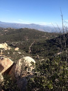 tting from the energy of others who are taking on the same trail as you. In peak hike times the parking lot does get full and sometimes a line of parked cars dots hwy 67 leading up the to parking area and trailhead to Iron Mtn. Speaking of time of year, this trail gets hot in summer months and you are even greeted by a Park sign that states High Heat Advisory make sure you bring plenty of water. I like to take plenty of water any time of year, so thats not much of an issue. 48oz minimum is always a good start.
 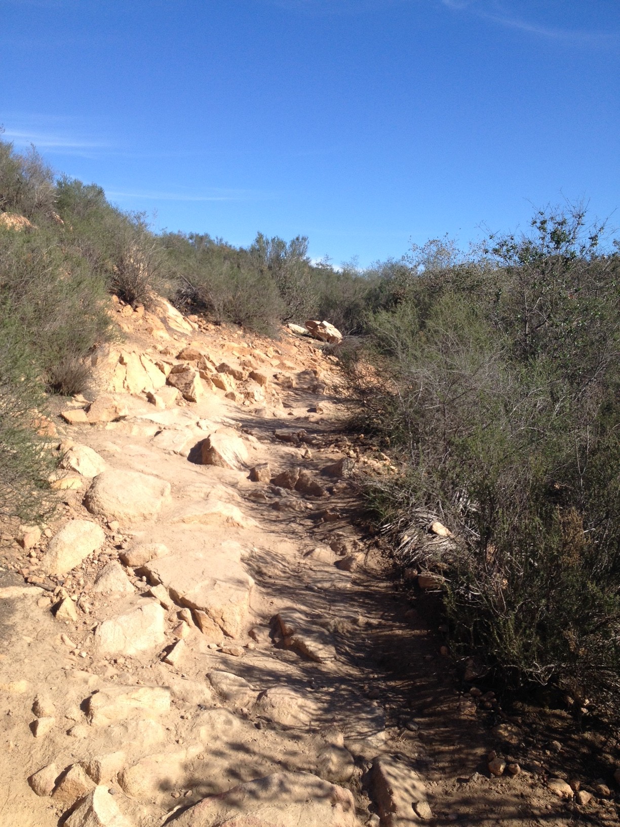 This hike is the sister hike to Mt. Woodson and as you look to your left when you climb Iron you will see the towers of Woodson to your left, especially from the summit. The summit of Iron has a “Hike Journal” so make sure you sign is and proclaim your accomplishment to the world!
 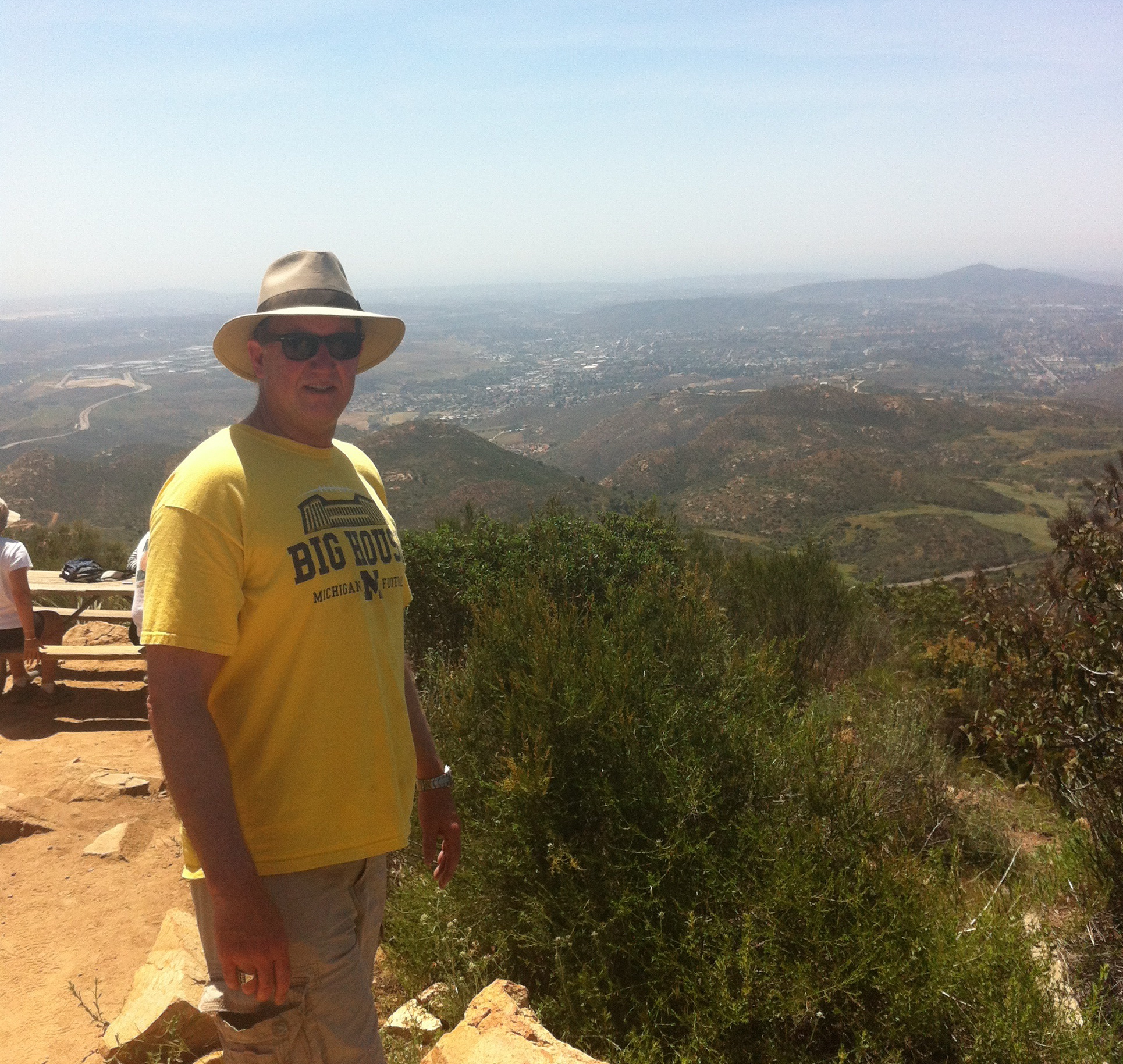 Take your time at the top and look out over the eastern views of Ramona, Mt Gower the lakes and dams to the left and right as well of course of Mt Wooodson to the North, again marked by
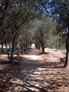 the TV and Radio Towers. The descent of Iron can get tricky especially near the summit due to a much rockier trail than as you get close to the bottom. But descending Iron is one of my favorites just because of the panoramic views of the surrounding Poway and Ramona areas as you are heading down. Look for the dam to your north, and the blue blue body of water it supports. As a reminder, warm weather brings out snakes, even though it was January, it was 75 degrees this day, as I was coming back through the “Canopy” of trees at hike end, I turned corner heading for parking lot and there was a baby rattlesnake crossing the trail, beautiful creatures, they aren’t looking for you and as long as you leave them be all is well.
Have Fun Hiking Iron!
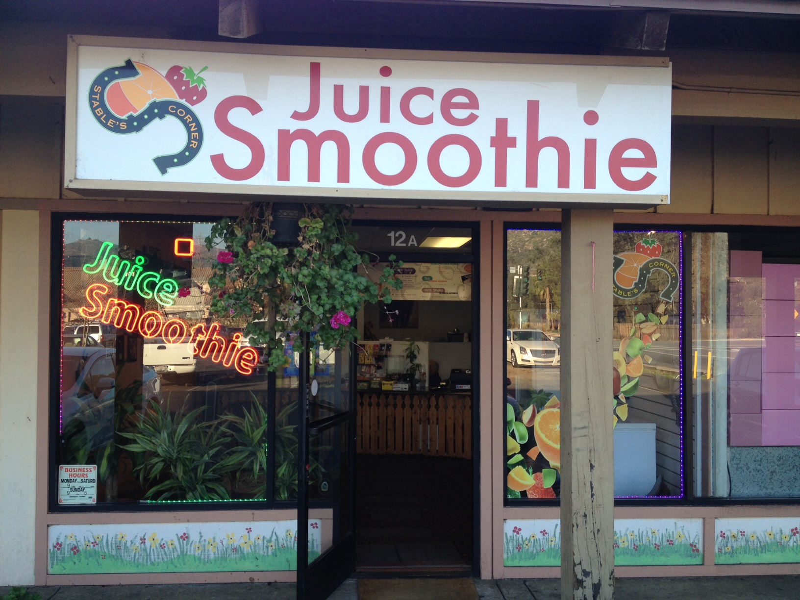
PS– Reward yourself with the best smoothies in San Diego County. Shop is at corner of Espola and Twin Peaks Rd. Tell him Mark sent you, Date Shake is Killer!
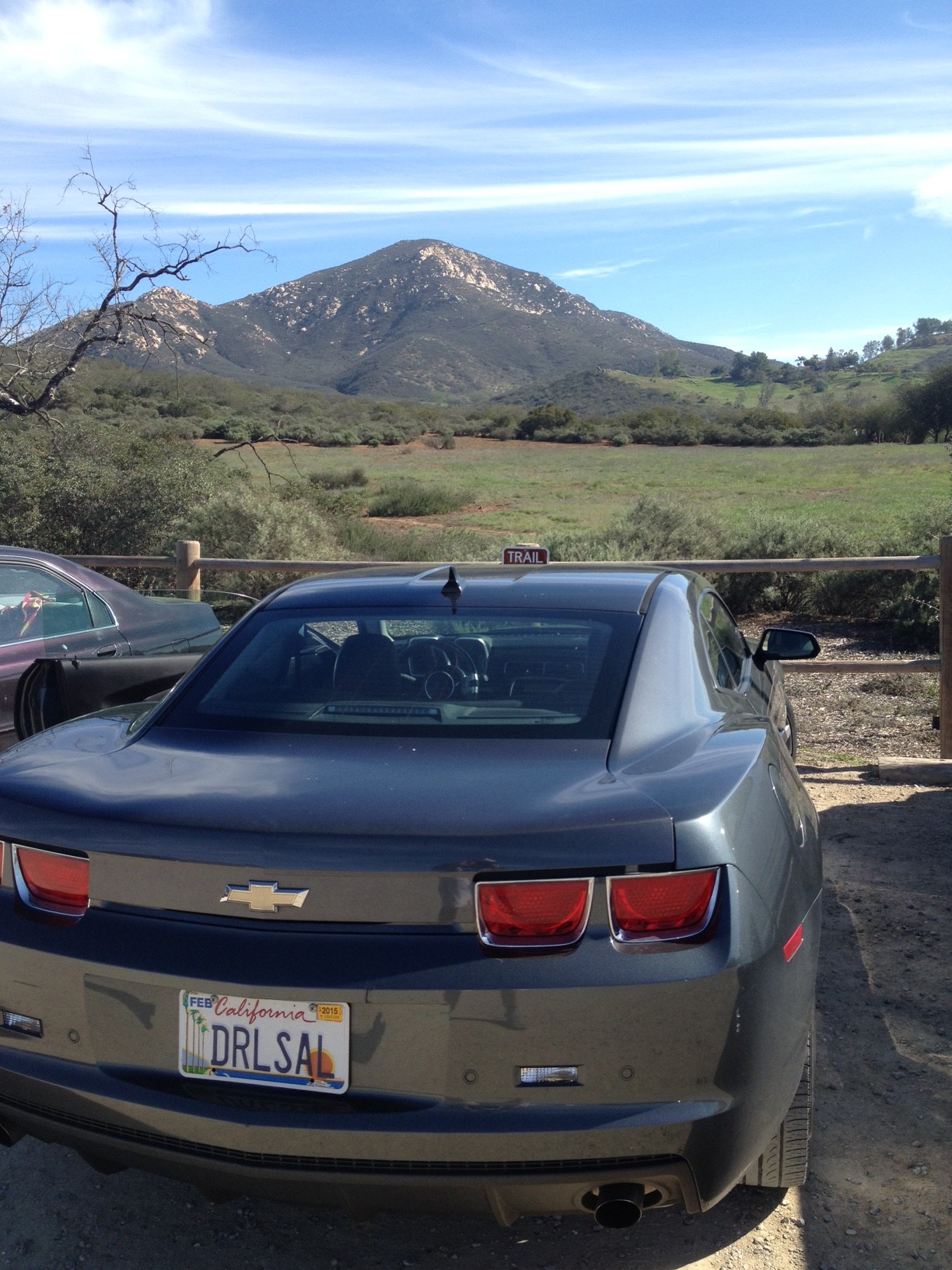
Directions to Trailhead: Exit 15 at Ted Williams Parkway, exit east to Twin Peaks Rd. Go right to Espola. Go right up Espola to Poway Rd. Go left to Hwy 67. Trail head is located on Highway 67 and Poway Road. On the east side of the road there is a small gravel parking area, restrooms too!
Water: 48oz minimum.
Hikeability/Distance/Time: Moderate, 6 miles, 3 hours give or take 15 minutes.