Trailhead Start:I entered the preserve at the Sky Haven West Trail head, which is actually in Oceanside on the northern edge of the preserve.From state Route 78, exit at College Boulevard, heading south. Turn left onto Lake Boulevard, then right onto Sky Haven Lane. Sky Haven dead-ends at Azure Ladd Drive; park here on the preserve’s side of the road.
The Volcanic Plug at Lake Calavera Preserve
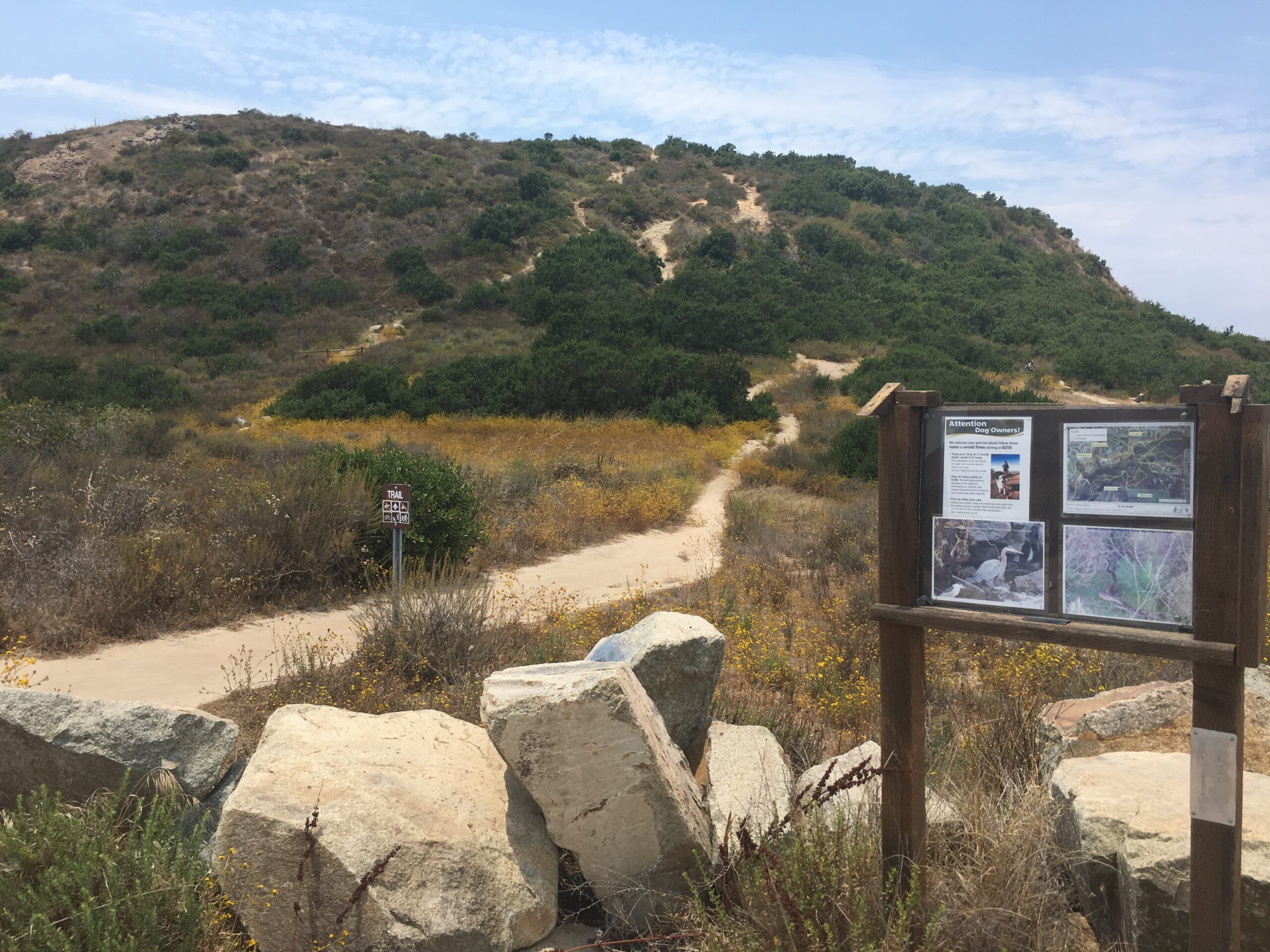
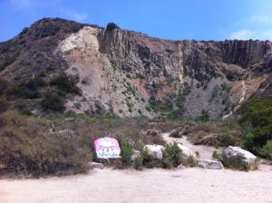
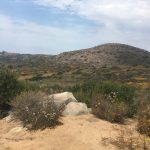
Lake Calavera Preserve in the Tri-City North County area of Oceanside, Carlsbad and Vista is an ecological preserve and home to Calavera Mountain. The word “Calavera” means skull, which probably comes from the unusual shape of the area’s centerpiece, Mount Calavera. The 513-ft. Mount Calavera is not really a mountain at all but rather a 22 million-year-old volcanic plug.
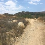
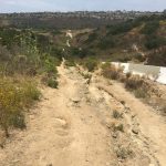
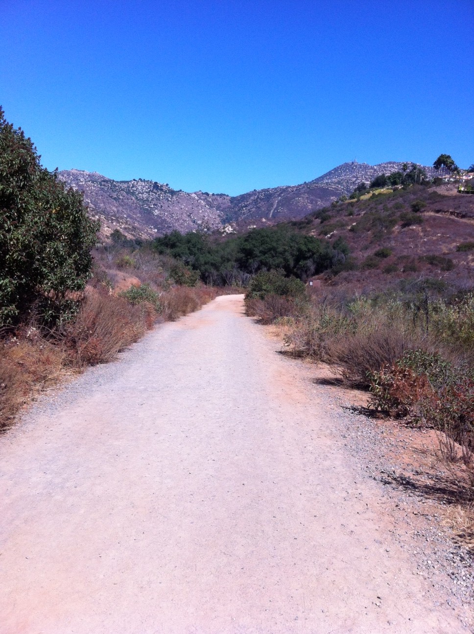
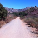
The trail system here is vast and much of it would be classified as easy to moderate. The trail composition for the most part is hard pcked sand and clay, however their are sections of the trail that get very rocky, washed out and unstable Any way you go you will have hard time getting lost in the 10 miles of trails in the Preserve.
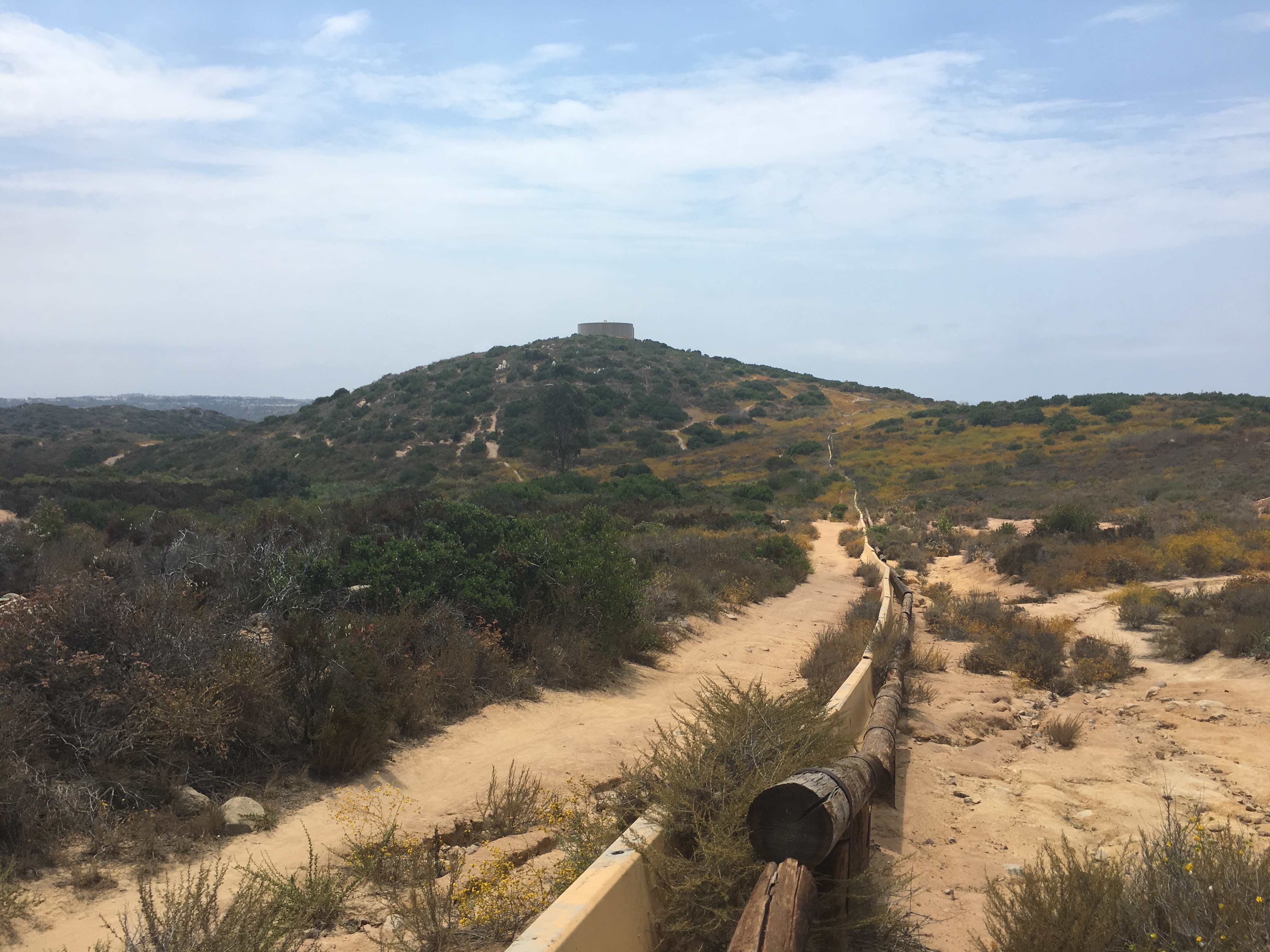
I mixed up the route this time but for the most part I head west towards the dam, cross the dam and head up towards the Volcano branching left, then going straight right or climbing left. Both will take you past Volcano. Climbing left will take you to the base, branching right and then heading straight will take you along side the Volcano.
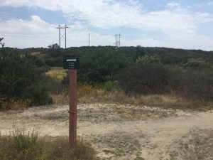
I usually branch off to the right and circle around the back of the Volcano, head east, hike around out in the “Field” make a left at the trail intersect, then head north until I hit the trail along the fence. At this point I head west again until I hit the trail intersection with the Volcano right in front of me.
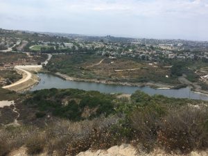
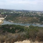
Once you are up on top, admire the view of the Pacific to the West, Oceanside to the North, Carlsbad to the South and Vista to the East. Great views of the bowl of the Volcano too!
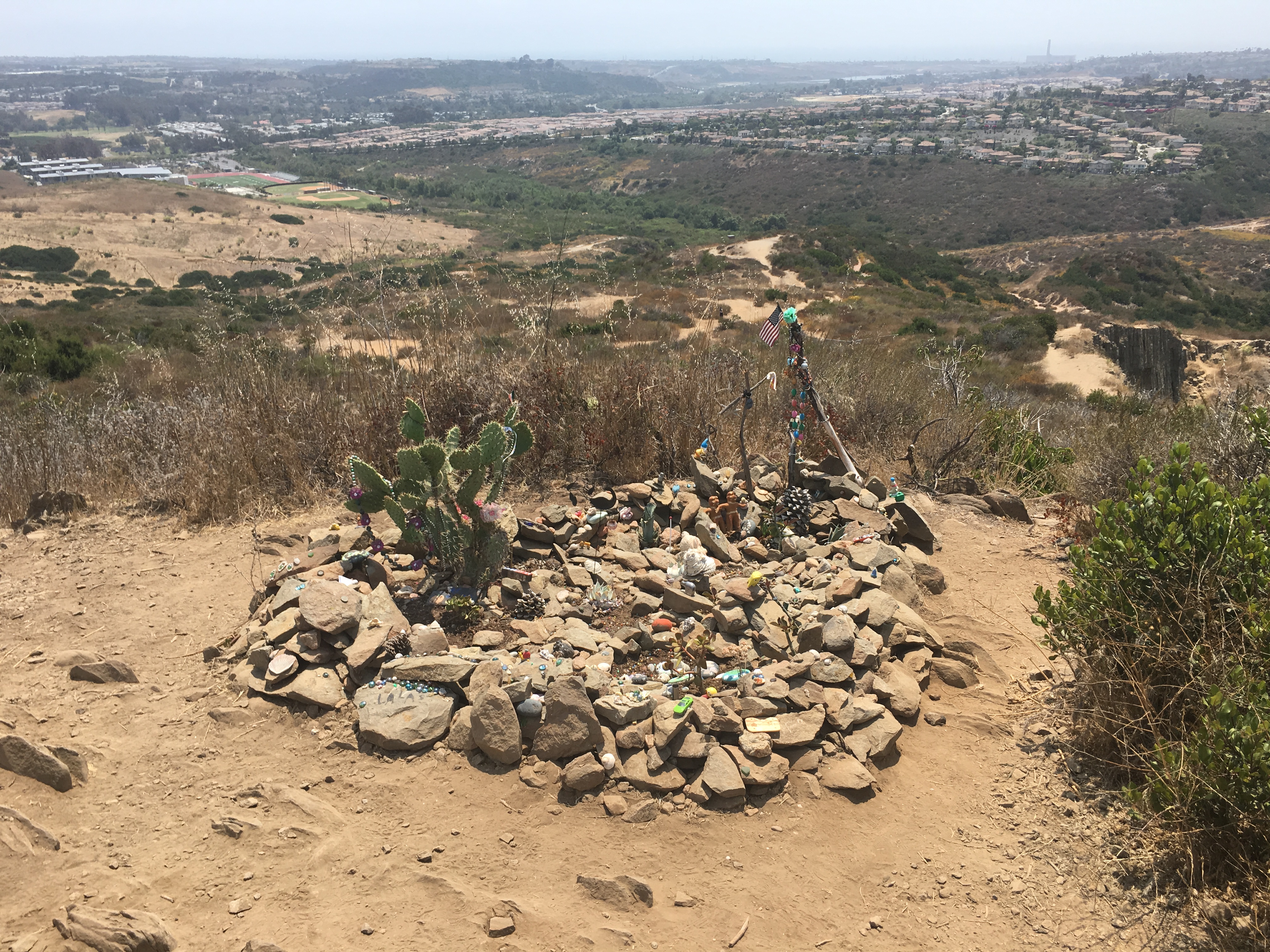
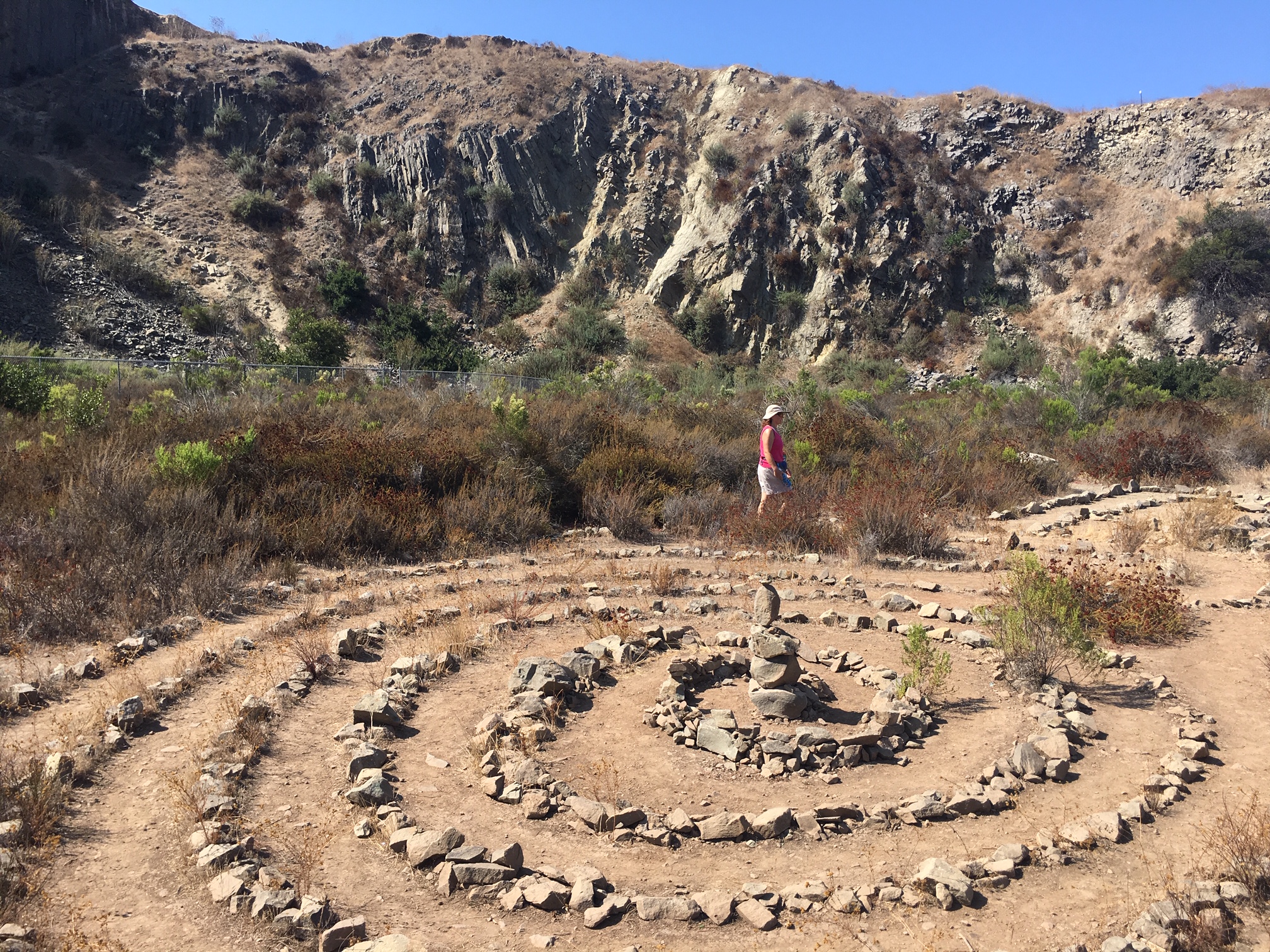
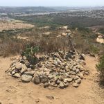
As you meander around the Summit you will come to the “Trinket Garden’ a nice memorial and keepsake place for the many who have hiked these trails. Looking down into the bowl you will see a Labyrinth, which is a maze offering yet more diversity to this Hike.
Labrynth at Lake Calavera
Once you descend down back to the base, visit the Volcano and walk all around in the area of the Labyrinth to get a sense of the Volcano and the spiritual feel of the area. This is a fun local trail offering a lot for such a “sububanized” parcel of land area.
This hike offers you: a Volcano, miles of hiking trails, a labyrinth, if you can find it a small cave, numerous ways to summit the Volcano, an ecological preserve, wetlands, and great views of the surrounding Tri-City area.
I call this one of my go to “Sunday” hikes in San Diego County and one I highly suggest for families and those looking for a good way to get a lot of miles in without burning yourself out and having to drive far if you are in the North County Area.
The Blue Sky Ecological Preserve trail is a well-kept secret of a hike hidden in the shadows of its big brother, Mt. Woodson in Poway. Not only does this trail offer similar scenic beauty as Mt. Woodson, it also has its own lake embedded in the hike as well!
Although unlike Lake Poway, which starts out the Woodson trail, Lake Ramona is at the end of the Blue Sky Preserve trail and in my opinion a much more radiant Lake due to its naturally barren scenic surroundings and a very welcoming and rewarding end to this out and back hike.
The Blue Sky Preserve trailhead start is well laid out as you pull in off of Rancho Bernardo Rd (which turns into Espola). The trail itself is well marked, wide, and consists of alternating compacted earth and sand, no rocks or gravel.
As you start out on the trail you immediately get a feel of a “mountain” hike as the hills and peaks of the area cover the landscape ahead.
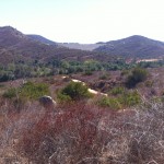
The openness of the trail gives way to a tree-covered path, as many California Live Oaks surround a good portion of the middle of this hike. Signs will guide you as you go along this very flat and fast trail. At about the two-mile mark you will come to the more challenging part of this hike and well within site of the Dam that forms Lake Ramona.
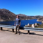
You will begin a steady ascent for the last third of this hike, which leads you to the Dams edge, and a spectacular view of Lake Ramona. Many stop here, but my son and I continued on so that we could find a trail that winds down to the lake.
Trailhead Start
Sam on the Dam!
Down to Lake’s edge
California Live Oak Grove
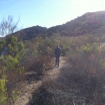
On the way up!
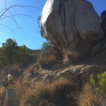
Me and Big Rock!
Trail back along Lake Ramona
You can also make your way along the lakes edge along a somewhat formed trail that will lead you back to the main trail and the top of the Dam. From here it is the same trail back the return hike back to the trailhead start. The plant life highlights of this hike as mentioned before are the groves of California Live Oak.
Another highlight of this hike to add to the before mentioned, is the fact that this hike, especially upon the return gives you a detailed view of the Mt. Woodson trail from start to finish. Its an interesting view in that you can see the total distance of the hike which looks much shorter and effortless compared obviously to the enduring nature and length of the trail as compared to when you are in the moment hiking it.
I really enjoyed this hike and all that it offered in first time hiking this trail, scenery, the California Live Oaks. the challenge of the trail as well as the beautiful Lake Ramona.


