DISTANCE: 6.2 miles: Steps: 13.5K ELEVATION GAIN: 1000′ Elevation at Peak: 1615′ HIKEABILITY: scale 0-10, 6 ( not as difficult as Woodson, more challenging than Cowles.) WATER: 2 liters SNACKS: energy bar, orange. CONDITIONS: temperature 70’s, slight breeze. Hike Time: 11:15am to 3:30PM RESTROOMS: at trail head PARKING: lot at trailhead, if full park on Hwy., 67
Iron Mountain Trailhead Poway, CA Hiker TherapyIron Mountain “Canopy” Hiker Therapy
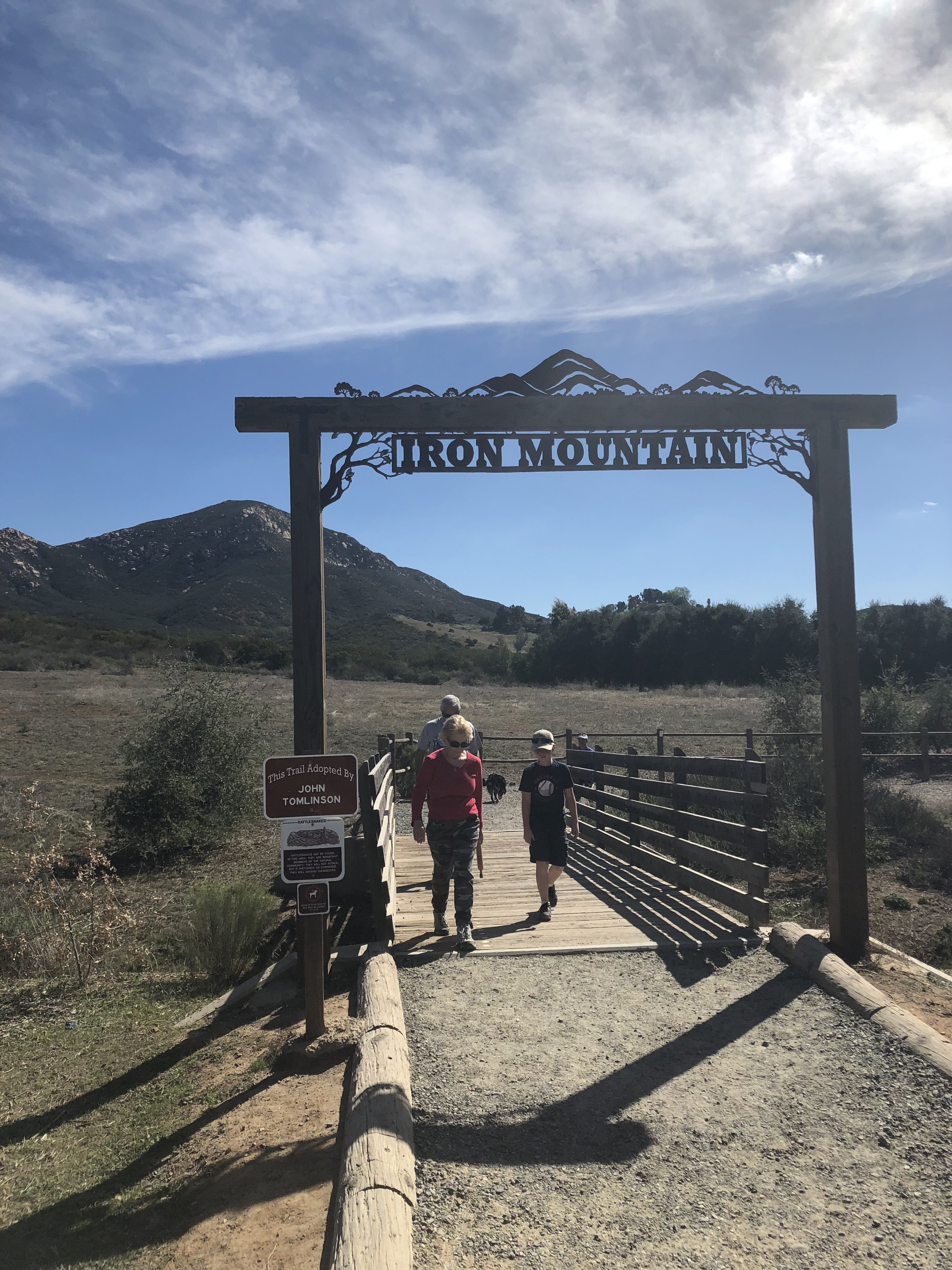
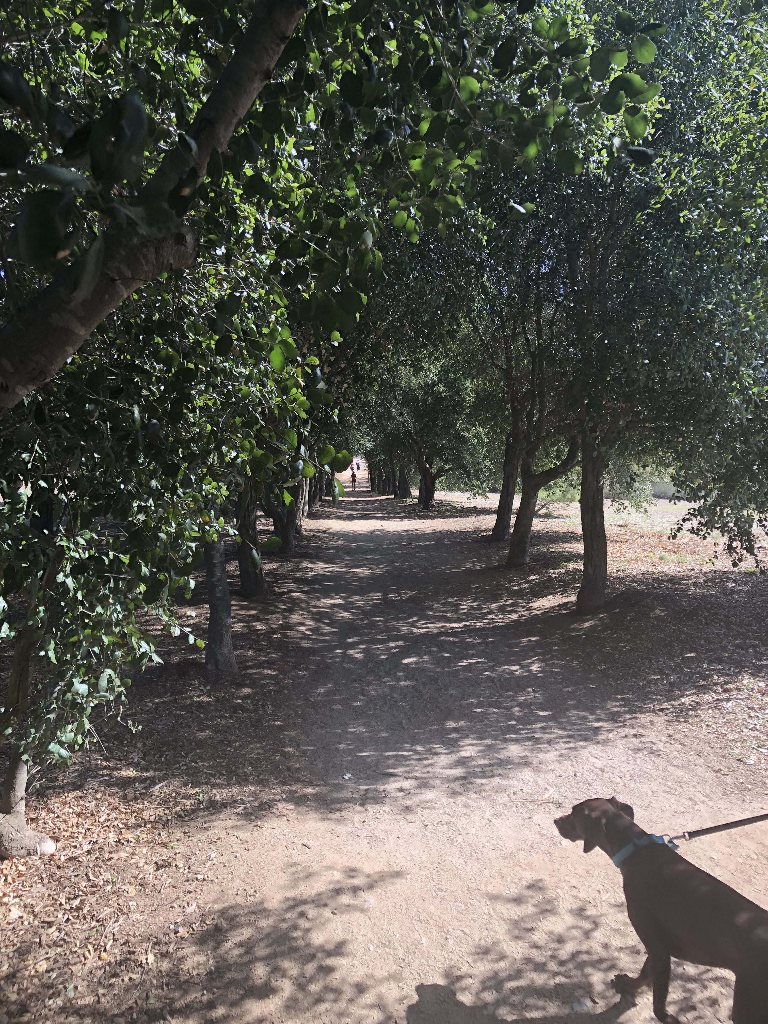
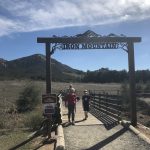
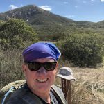
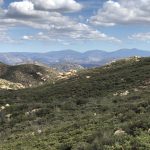
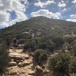
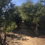
I have hiked Iron Mountain in Poway at least a dozen times, however each time is a unique experience always full of adventure, challenge beauty and accomplishment. On this day I arrived at 1115AM and the main parking lot off of Poway Rd. and Hwy. 67 was full. Not to worry, overflow parking is available on Hwy., 67 which is where I parked, a short walk will get you to trailhead and or restrooms. Direction to Iron Mountain, which is located at the T section of Poway rd., and Why 67 in PowayYou know you are at the “official” Trailhead as soon as you see the mainstay IRON MOUNTAIN arch signifying your journey up to the peak of Iron. The hike from this point is about 3.1 miles to the summit. However, for me the welcoming canopy of trees covering the trail is the “Official” trail start that sets the tone and the journey to the peak.
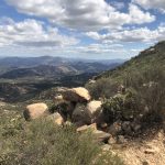
Iron Mountain Peak..side spur off of main trail at .5 mile mark from trailhead start Hiker Therapy
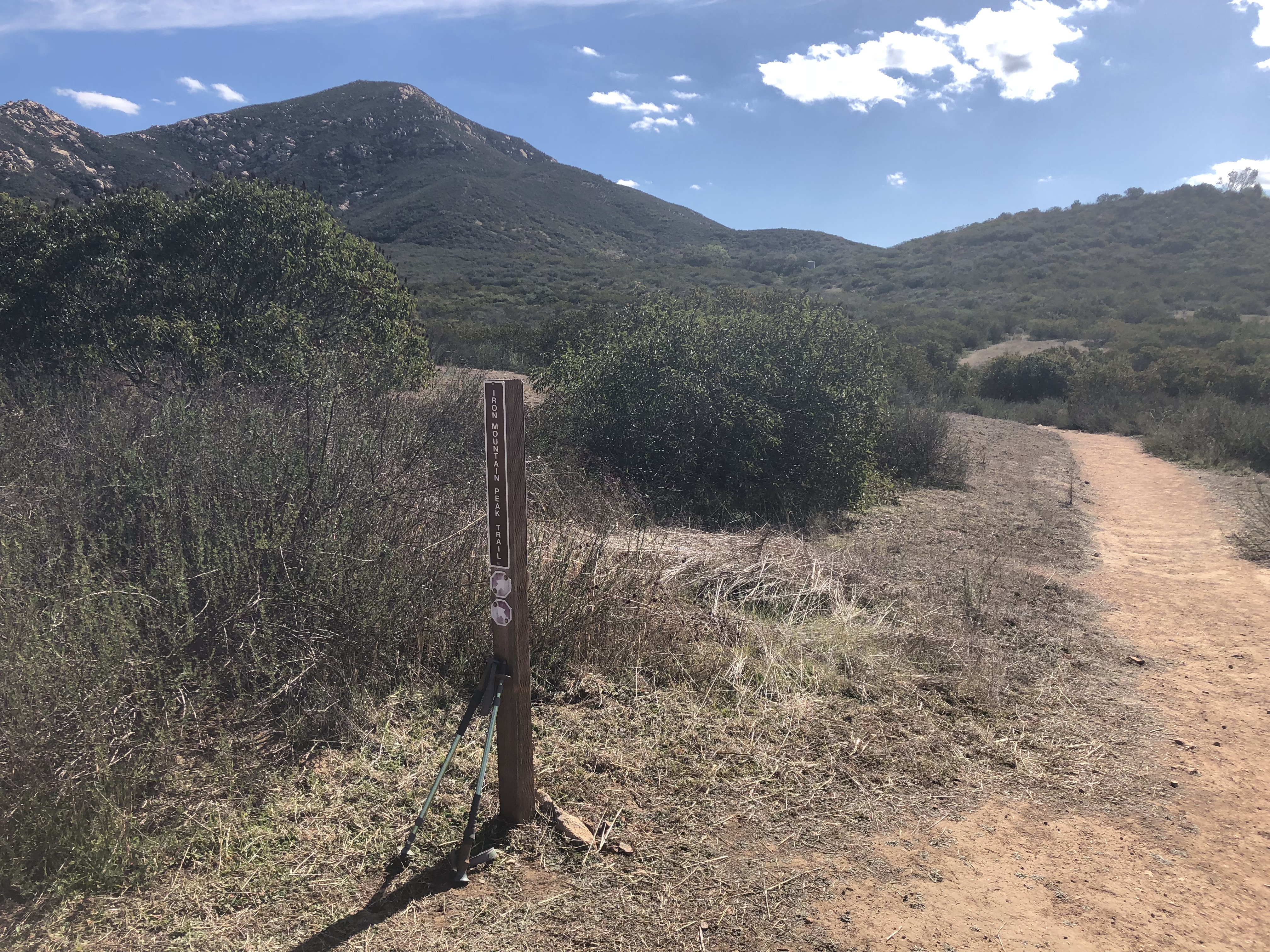
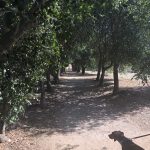
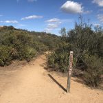
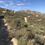
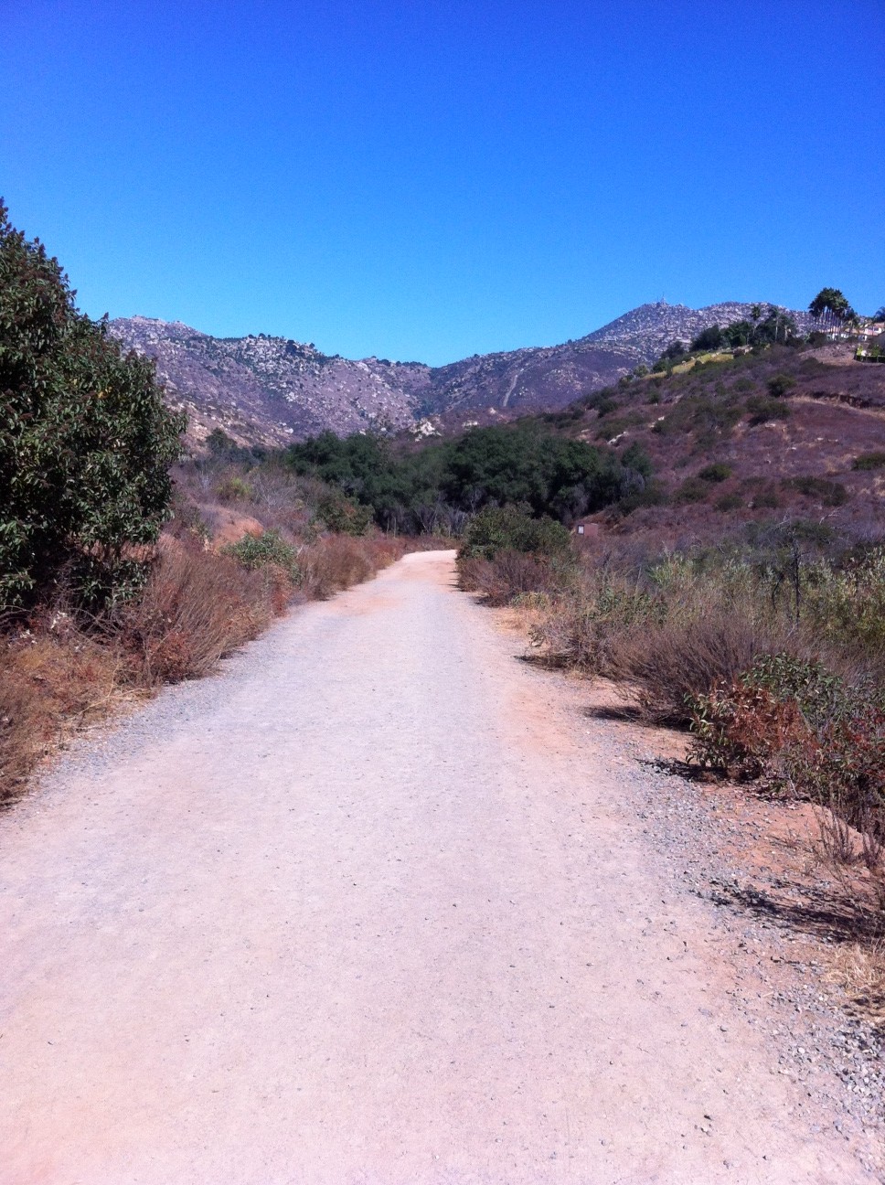
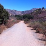
The trail at Iron at the start is smooth, hard packed sand and for about the next .50 miles is such. At the .50 mark or so, you have 2 options to continue your hike. You can go right at the trail marker or continue on the traditional way as most do hiking Iron. I always break off and go right here. This segment of the trail offers you diversity of trail, it is less traveled, much quieter and full of nature and a more “green” approach to Iron. You also get a great view of the peak along this spur of the trail. This spur continues on for about .75 miles and then joins up with the main trail up to the peak. Thats the beauty of hiking Iron, you cannot get lost here, follow the well marked trail 3.1 miles you will summit this very doable and popular San Diego Hiking Trail.
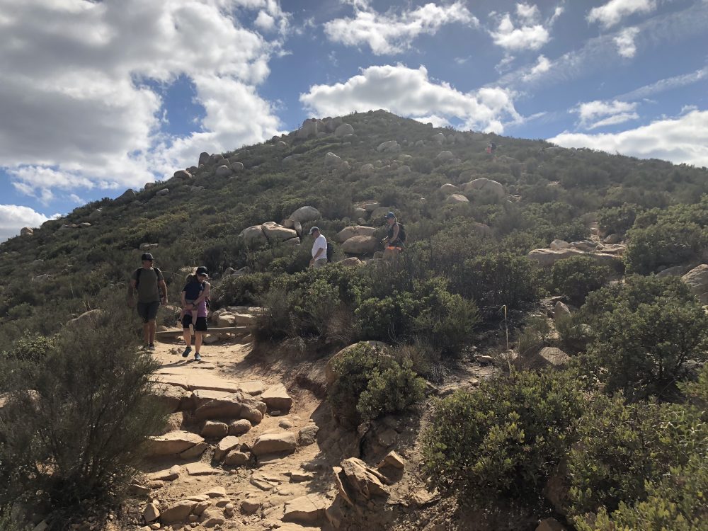
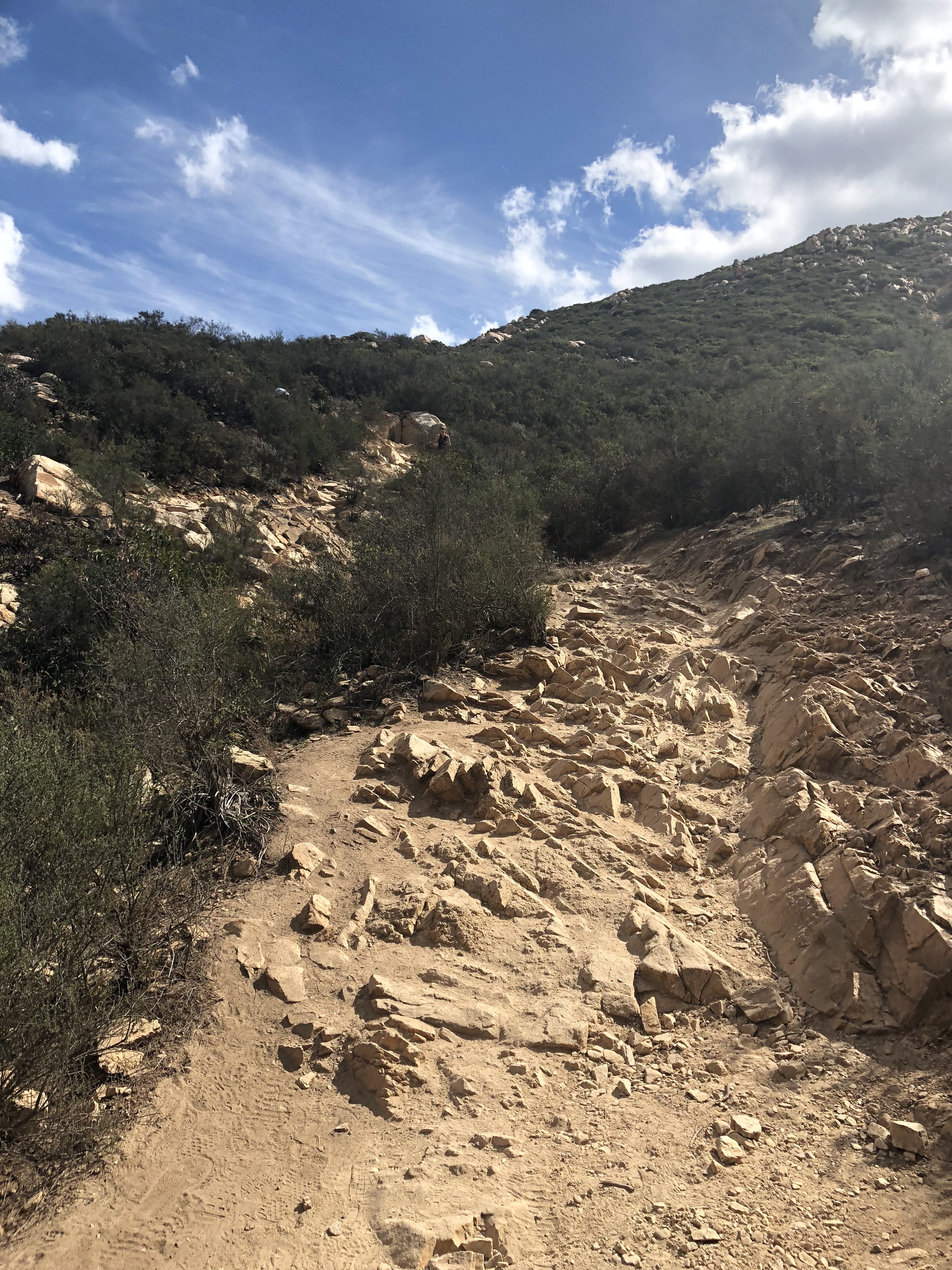
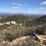
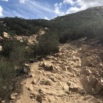
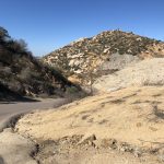
As this spur comes to an end you will join up with the main trail and be introduced to a much more rocky trail and for the rest of your journey up the trail will alternate between hard packed sand and earth and rocks. Twisted ankles are not uncommon here, take your time, be safe, the peak isn’t going anywhere you will get there when you do.
Iron Mountain Trail is alternating mix of hard packed earth and sand or Rocks Hiker Therapy
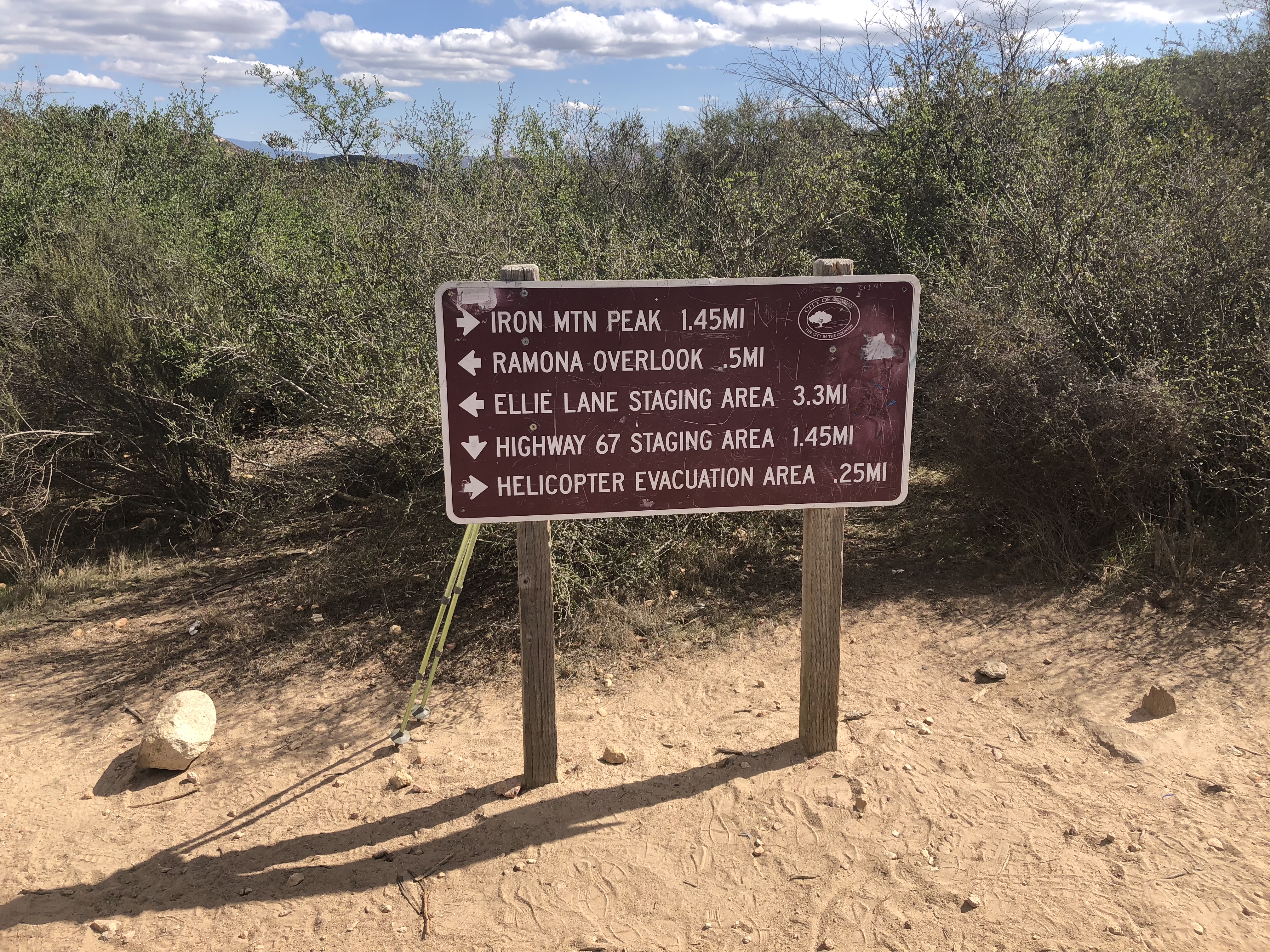
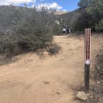
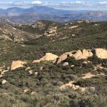
1.75 mile mark and the Iron Mountain Trail System Direction Board Hiker Therapy
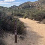
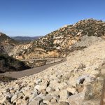
As you get to the 1.75 mile mark of the hike you will come to the “Trail Direction Board” which will point you to go right to the Iron Mountain Peak. Going left gets you back to the trailhead start to the Ellie Lane, which adds 3.3 miles to this hike but if you get the chance one day I highly suggest this as your trailhead start. As you continue right you will start more of the ascent portion of hiking Iron. The trail here gets back to a sandy composition but soon will get rockier as you ascend up to the top. after a short while you will come to the HeloPad that serves as a rescue site for those who have met the fate of the trail and ended up with a broken bone, or more sever health problem. Any hike can serve as a danger, precautions aside, accidents do happen.
Look very close to see White Cross Hiker Therapy
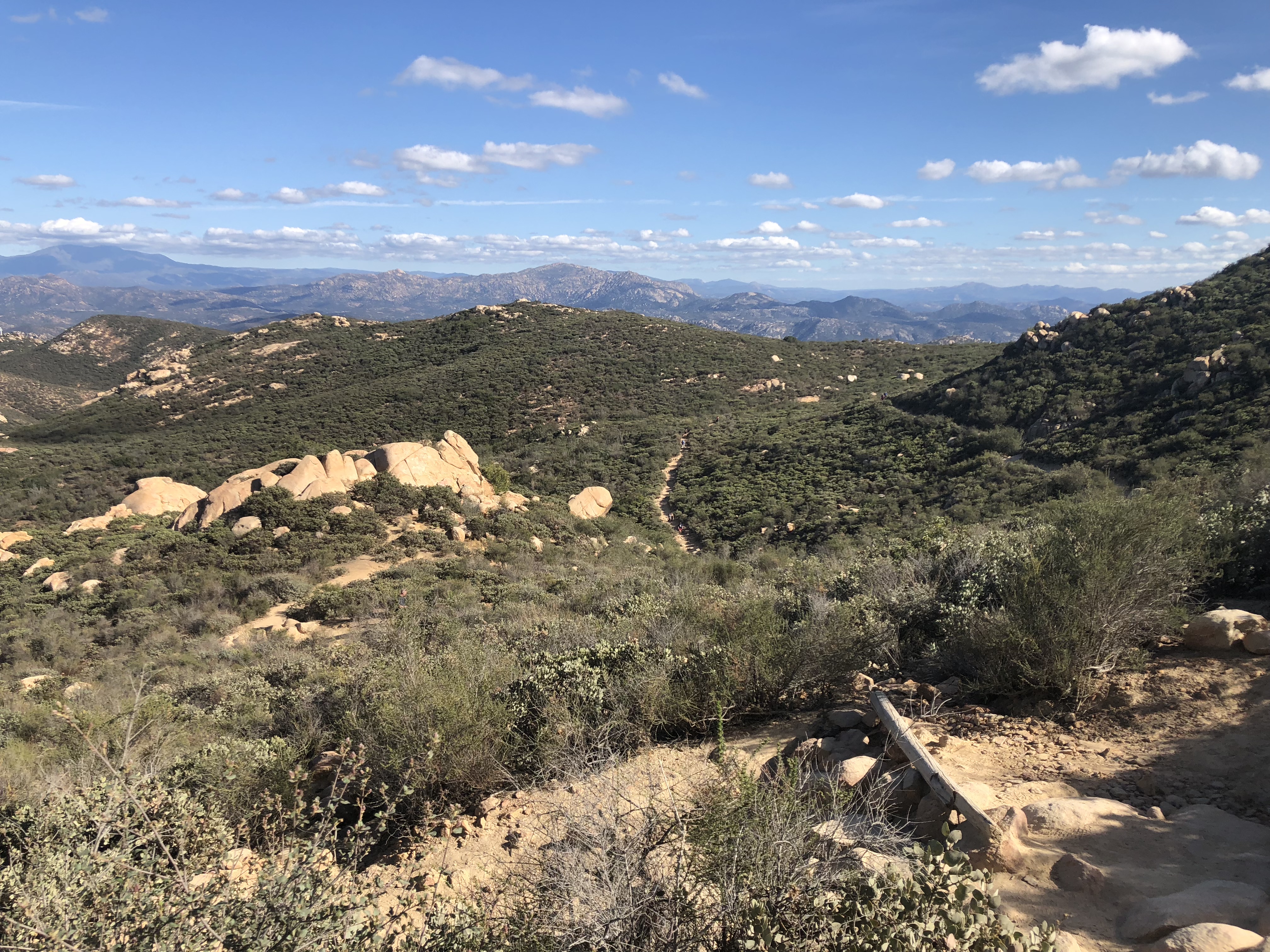
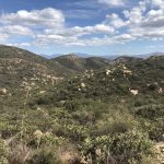
As you approach the last segment of this hike, to your last the views are spectacular of the far distance Palomar Mountains, Julian and Mt Gower Ramona. Pay close attention to detail as you stop and gaze east. You will see the White Cross tucked into a mountainside. I always love seeing this cross which offers me a sense of familiarity and comfort Continue up and the trail starts to steepen, never to the point of exhaustion, but enough that offers challenge and reward. The Summit of Iron is “Sneaky” after a series of switchback segments to the trail, the last 100 years winds around and up and then, there you are, you have made it to the summit of Iron Mountain.
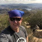
Summit of Iron Mountain Hiker Therapy
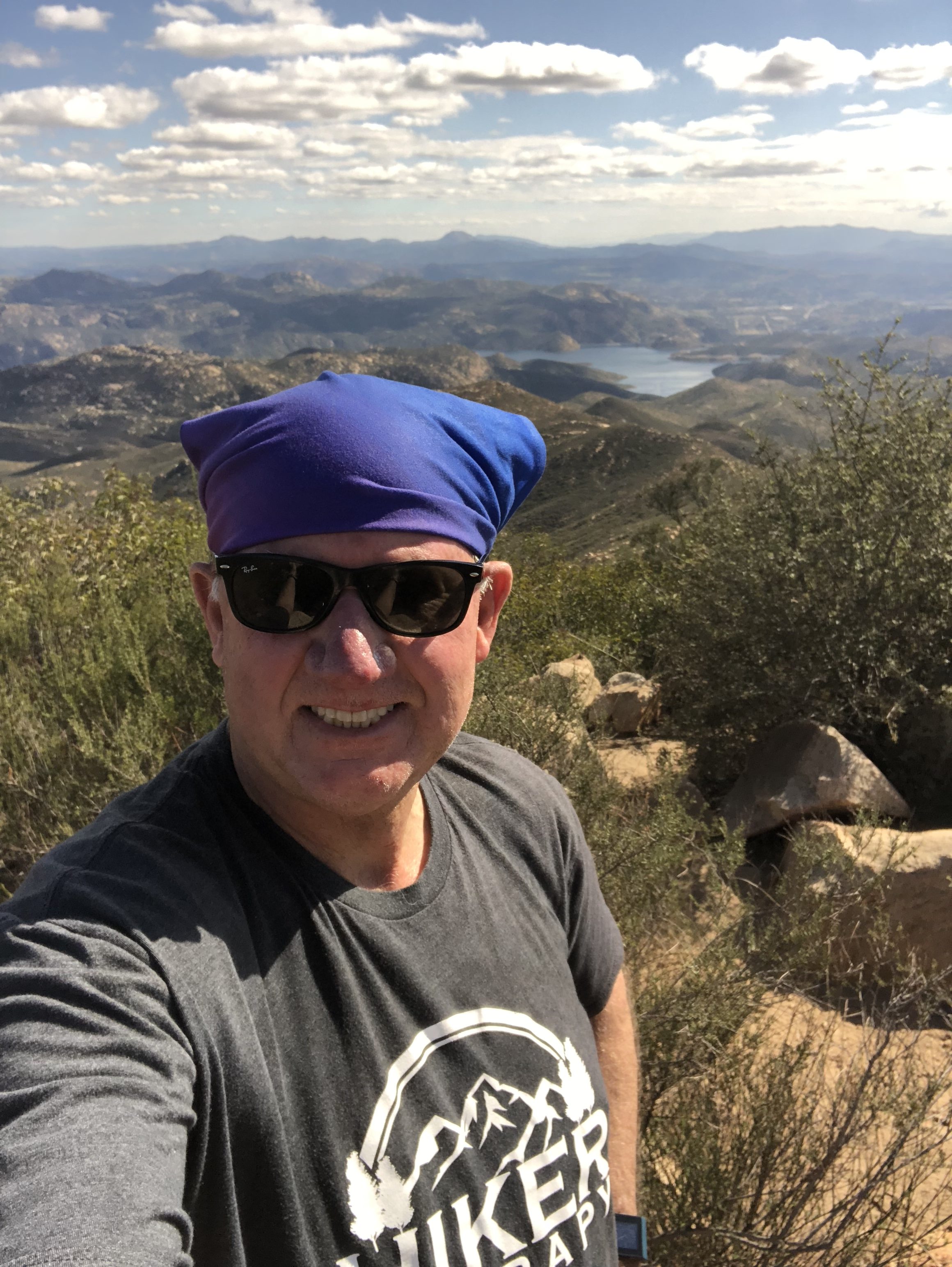
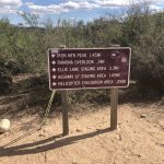
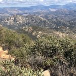
The false peak offers the marker of arrival and from previous a Journal Box where you could stake your claim to summiting Iron by writing into the peak journal. The last few times I’ve been on the top, the journal box has been gone. To your right your will come to the first picnic table continue on to the left past the second picnic table and you will hit the ‘official” summit. From here you have a great view of Ramona, Julian, Palomar Mountains and the sapphire blue waters of Lake Ramona. Enjoy the peak, eat a snack and take pictures, the views go on forever. On your way back look over to your north a short distance and you will see Iron’s sister peak of Mt Woodson another very popular San Diego Hike and the tallest Poway Peak, Iron is the second tallest peak at just over 1600’ . I believe Iron is on the 100 peaks list and falls under peaks to bag for the 52 Peak Challenge.
We are so fortunate to have the hiking trails that we have here in San Diego County. Iron was one of the first “Hard Hikes” or challenging Peaks I attempted back in 2012 and at the beginning of my Hiking Career. Now I call Iron one of my go to Hikes and one that never disappoints.
Weather wise, Fall through Spring is Hiking season in San Diego, in a few months the heat out in Poway can get up into the 90’s, which makes Iron, as well as any hike, much more of a challenge and safety risk. Always bring more water than you need, I always start with 2l and go from there depending on heat, hike with a partner, respect your hiking limits, respect your partners hiking limits and most important Hike on!
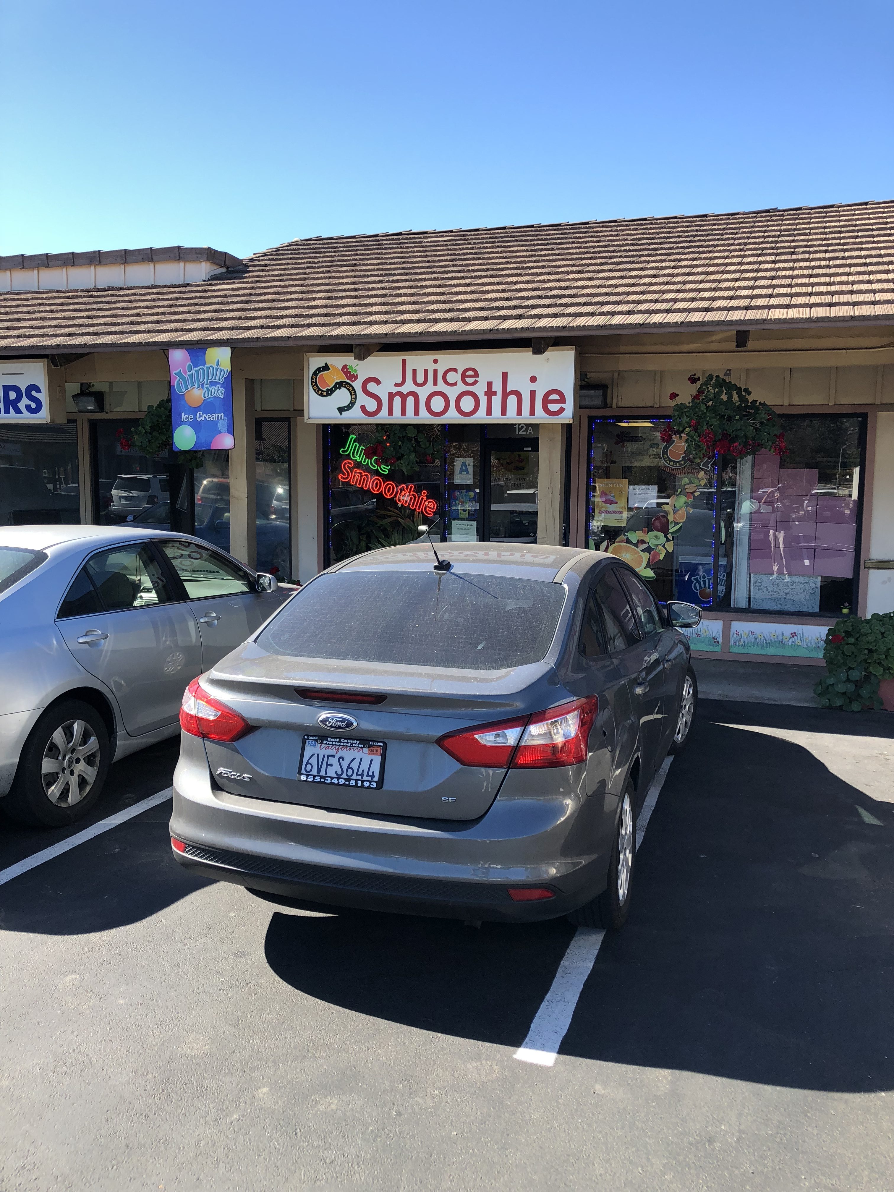
Food Tip: After you Hike in Poway I highly recommend The Stable Fresh Fruit and Smoothie Shop on Twin peaks and Espola rd. The best fresh smoothies and date shakes in the County!
DISTANCE: 5 MILES ROUND TRIP STEPS: 12K ELEVATION GAIN: 800 ‘ HIKEABILITY: scale 0-10, (0 being Batiquitos Lagoon Carlsbad, 10 being Mt Woodson, Poway.) 3.5 WATER: took 2 liters used 1.25 SNACKS: energy bar, orange. CONDITIONS: temperature 80’s, slight breeze, hot sun RESTROOMS: Chemical toilets at trail head, about one mile from the trail head and at the reservoir
LOCATION: 16275 Espola Road, Poway. From I-15, take the Rancho Bernardo Rd. exit (24) and head east for a total of 3.4 miles. En route, Rancho Bernardo Rd. becomes Espola Rd. Just after the road makes a sharp right turn, look for the entrance to the preserve on the left.
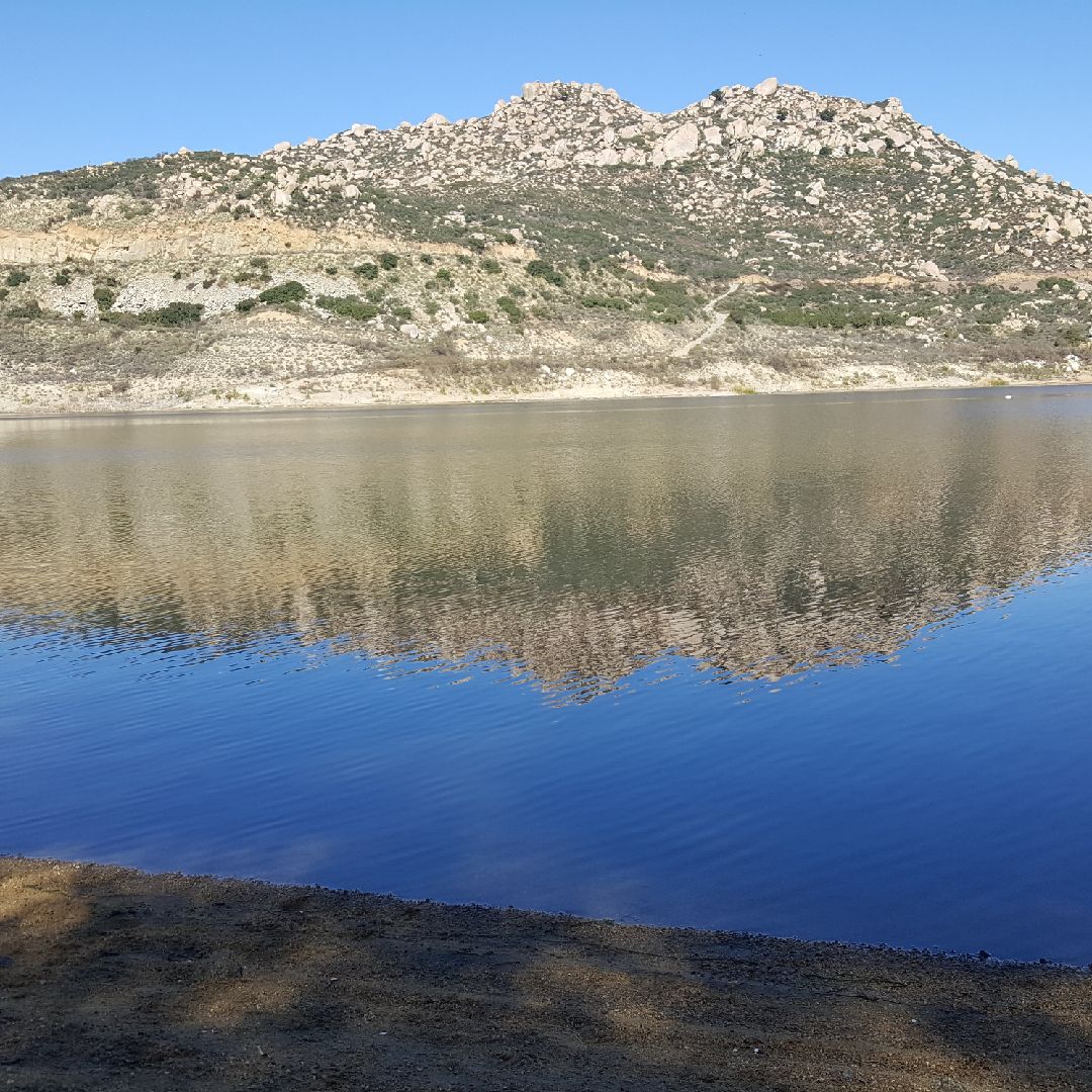
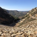
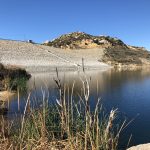
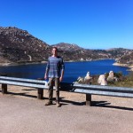
Lake Ramona Poway, CA 2.5 miles from trailhead….Hiker Therapy
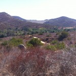
When we talk about hiking the Poway area, a beautiful place to hike indeed, Iron Mountain and Mt. Woodson are always the 2 Peaks that come to mind and rightfully so, both warrant their popularity and “Hikeability”. However another hike in that same general area is the Blue Sky Ecological Reserve. Located off of Espola Rd., in Poway this hike sits in the shadows of Mt. Woodson and in fact a spur off of the Blue Sky Trail can take you to Lake Poway and Mt. Woodson.
Blue Sky Ecological reserve Trailhead and good indicator of trail composition. Hiker Therapy
On this Saturday 9AM morning start the first challenge to the hike was finding a parking spot. There is a generous sized parking area off of the Trailhead, but it may take you a few laps before a spot opens up. The trailhead is in the southern most part of the parking area but is clearly visible by an information board. There is a restroom, opposite the information board. There are also 2 other restrooms along the trail, one about midway, one at the top of the Dam, your final destination on this hike.
Blue Sky Ecological Reserve Poway, CA Hiker Therapy
The first 1.2 miles of 2.5 mile trail to the Dam is for at least 75% of the journey, hard packed sand, very wide and easy to navigate and generous shade trees covering the trail. The last section of the hike and climb to the Dam is a little more rocky, but still very easy to negotiate, wide trail and plenty of room. The trail is marked very well with arrowed signs guiding you along the way.
At about the .75 mile mark you will come to a trail spur on the left, which is the Creekside Trail. You can take this to add more diversity, Creekside will detour back into the main trail as indicated on the trail mp on the left. Stay on the main trail for about 1.2 miles.
You will come to the Lake Poway Spur. Stay on the main trail as it veers slowly left and to the trail up, again take a left and the final climb to the dam. A sign here makes your journey and the final 3/4 mile ascent to the Dam.
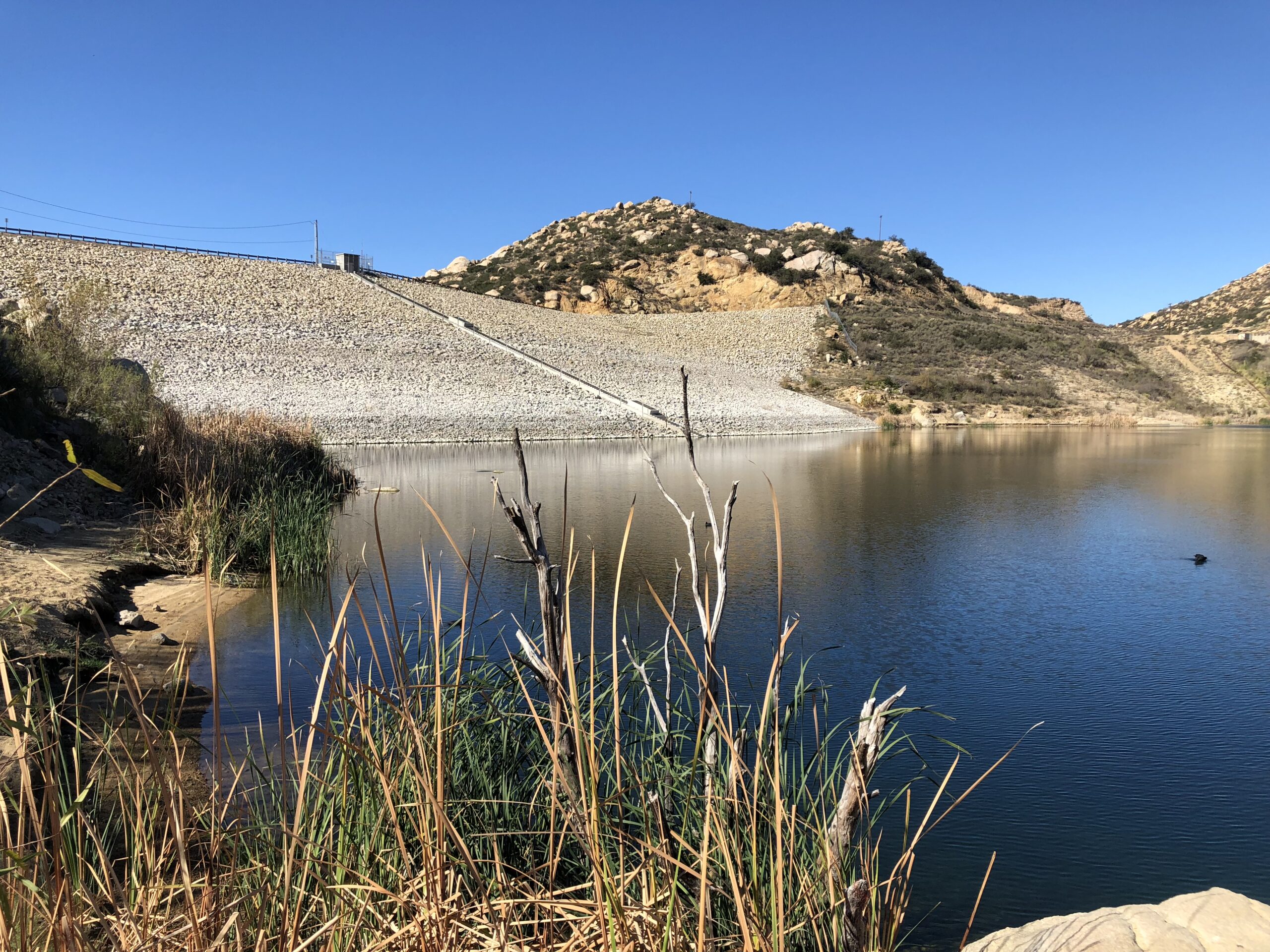
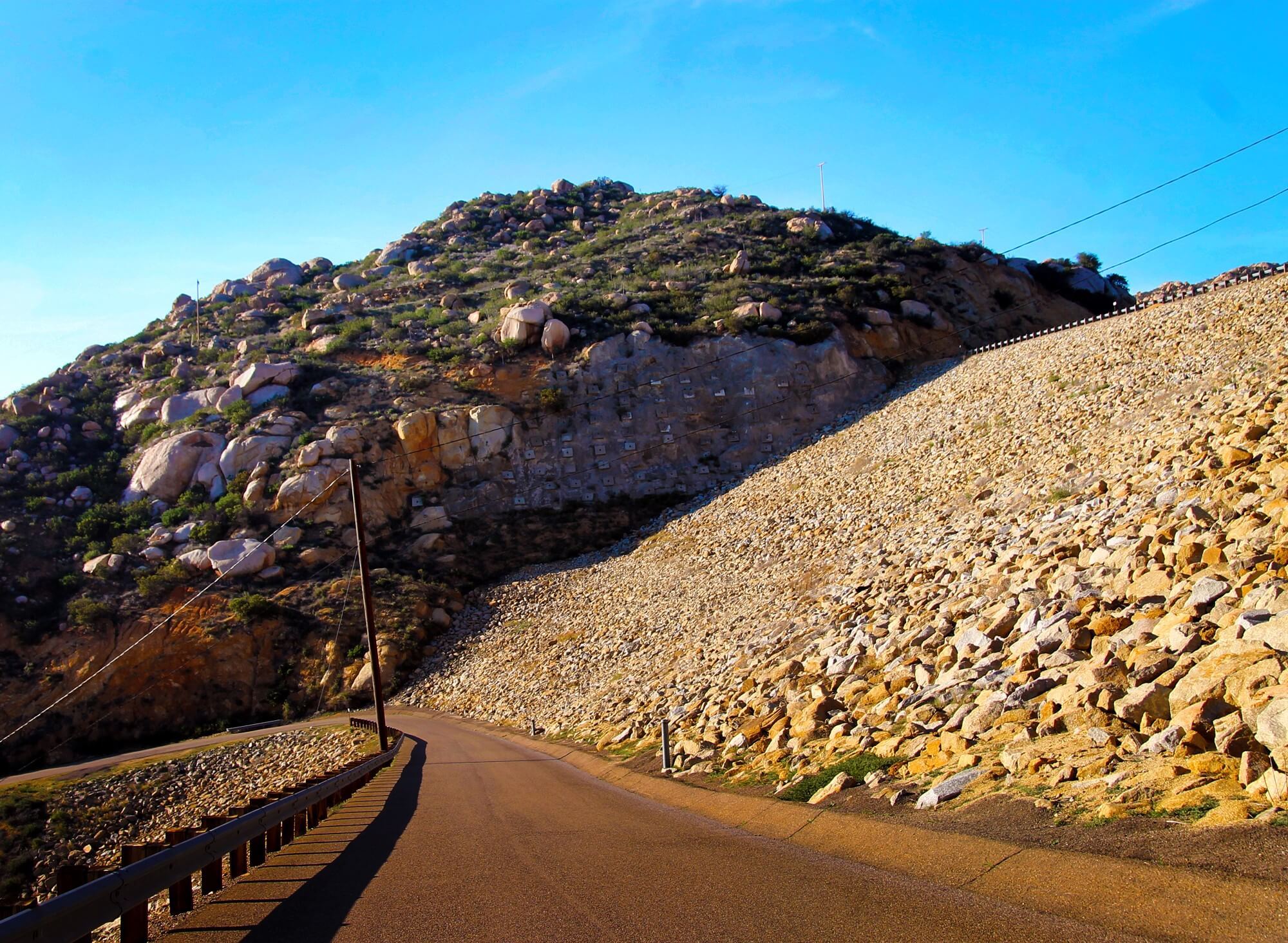
Last 1/4 mile up to Lake Ramona Dam is paved, steep the most challenging part of the hike. Hiker Therapy
This part of the trail is very strenuous and for the last 1/4 mile is a paved road to the Dam. Once at the top stop here, rest, snack, hydrate. There is a restroom here as well. Once at the “summit” of Blue Sky take in the view of Lake Ramona and consider the option to add more distance and scenery to your hike by heading down to the lake.
The trail down to lake is just to the right on the restroom. A larger paved trail continues on and around the lake. The trail is marked by a chain crossing the path, step over this chain and meander down to the “beach’ below. Very quiet, calm and peaceful here. A great spot for lunch and a well deserved break.
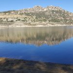
Lake Ramona, Poway, CA Blue Sky Ecological Reserve Hike: Hiker Therapy
Great views of shimmering Lake Ramona and the surround mountainous scenery of the area. There is not much coverage on the ascent up and at the Dam so be aware of hiking in the heat at Blue Sky.
This is a great way to hike the “Hills” of Poway and still get a feel of the diversity of the area, hike a not so common trail as compared to Iron and Woodson and get in a good 5 mile challenge rich in reward and mental and physical health well-being.
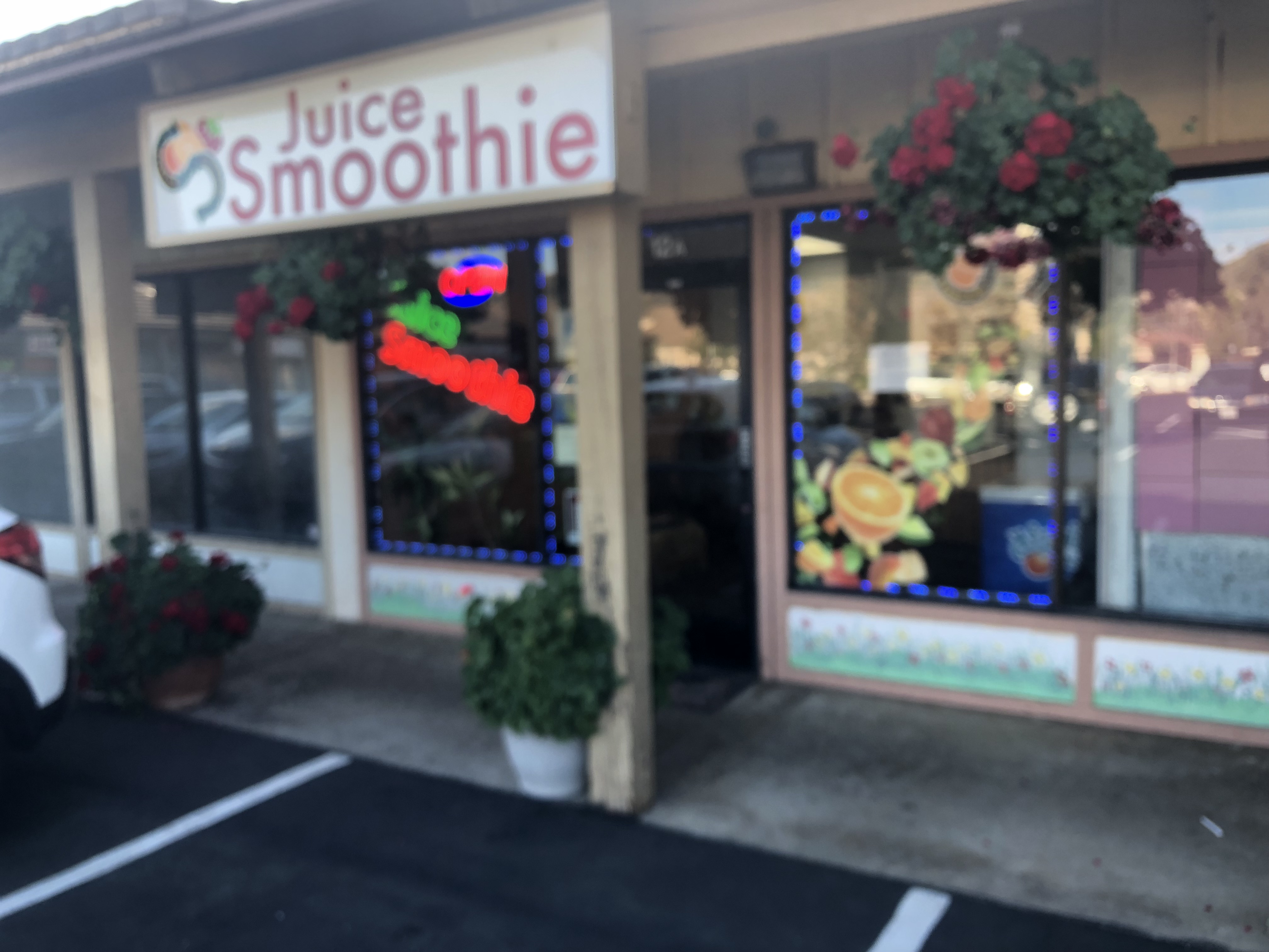
The Stable’s Corner Juice & Smoothie.. Hiker Therapy
An added bonus to hiking Iron, Woodson or Blue Sky is the The Stable’s Corner Juice & Smoothies shop at Espola and Twin Peaks Rd. Hands down the best smoothie shop in San Diego County.
“Hydrate, Respect your Limits, Respect your Partners Limits”
Hike On!
Blue Sky Ecological Reserve Gallery
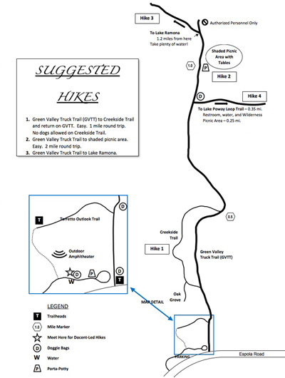
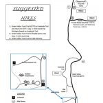
Blue Sky Ecological Reserve Poway, CA Trail Map
Blue Sky Ecological reserve Trailhead and good indicator of trail composition. Hiker Therapy
Lake Ramona Dam
Lake Ramona Poway, CA
2.5 miles from trailhead….Hiker Therapy
Trail up to the Dam
View of Blue Sky Ecological Reserve from Lake Ramona Dam
Blue Sky Ecological Reserve
Ascent up to Lake Ramona Dam
View from “The Beach’ at Lake Ramona Dam
Hiker Therapy
Lake Ramona, Poway CA Blue Sky Ecological reserve Hike: Hiker Therapy
The Stable’s Corner Juice & Smoothie..Best smoothie shop in the County Hiker Therapy
The Blue Sky Ecological Preserve trail is a well-kept secret of a hike hidden in the shadows of its big brother, Mt. Woodson in Poway. Not only does this trail offer similar scenic beauty as Mt. Woodson, it also has its own lake embedded in the hike as well!
Although unlike Lake Poway, which starts out the Woodson trail, Lake Ramona is at the end of the Blue Sky Preserve trail and in my opinion a much more radiant Lake due to its naturally barren scenic surroundings and a very welcoming and rewarding end to this out and back hike.
The Blue Sky Preserve trailhead start is well laid out as you pull in off of Rancho Bernardo Rd (which turns into Espola). The trail itself is well marked, wide, and consists of alternating compacted earth and sand, no rocks or gravel.
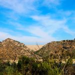
As you start out on the trail you immediately get a feel of a “mountain” hike as the hills and peaks of the area cover the landscape ahead.
The openness of the trail gives way to a tree-covered path, as many California Live Oaks surround a good portion of the middle of this hike. Signs will guide you as you go along this very flat and fast trail. At about the two-mile mark you will come to the more challenging part of this hike and well within site of the Dam that forms Lake Ramona.
You will begin a steady ascent for the last third of this hike, which leads you to the Dams edge, and a spectacular view of Lake Ramona. Many stop here, but my son and I continued on so that we could find a trail that winds down to the lake.
Trailhead Start
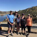
Sam on the Dam!
Down to Lake’s edge
California Live Oak Grove
On the way up!
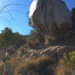
Me and Big Rock!
Trail back along Lake Ramona
You can also make your way along the lakes edge along a somewhat formed trail that will lead you back to the main trail and the top of the Dam. From here it is the same trail back the return hike back to the trailhead start. The plant life highlights of this hike as mentioned before are the groves of California Live Oak.
Another highlight of this hike to add to the before mentioned, is the fact that this hike, especially upon the return gives you a detailed view of the Mt. Woodson trail from start to finish. Its an interesting view in that you can see the total distance of the hike which looks much shorter and effortless compared obviously to the enduring nature and length of the trail as compared to when you are in the moment hiking it.
I really enjoyed this hike and all that it offered in first time hiking this trail, scenery, the California Live Oaks. the challenge of the trail as well as the beautiful Lake Ramona.