Oakzanita Peak via East Mesa Fire Road Trail: Cuyamaca Rancho State Park, East Mesa Trailhead 01/10/2019

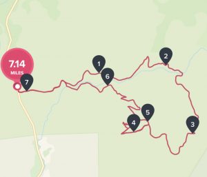
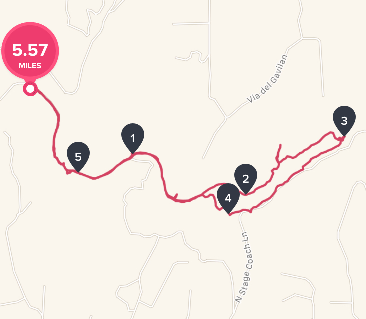
Distance: 7.14 mi Steps:  16128  Elevation Gain: 1150′ Hike Time: 3:09:22min Temp: 70’s Hikeability:  Moderate Strenuous  

Water & Snack: 1.5 liters out of 2 taken, Probar, Orange. 

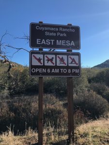
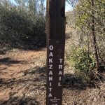
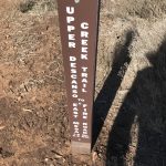
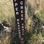
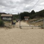
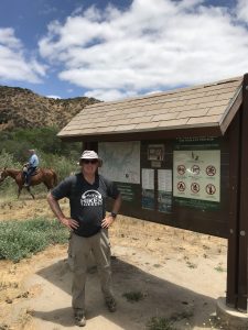
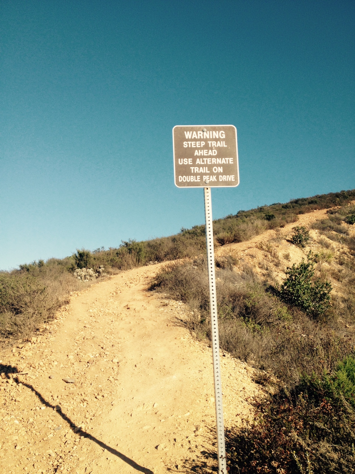
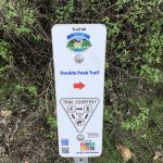
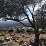
Directions: East Mesa Fire Road Trailhead:  Take I-8 East toward Alpine and continue east to exit 40, signed as Hwy 79/Japatul Rd.  Exit here. Go north on Hwy 79 about 4 miles to Cuyamaca Rancho State Park East Mesa, which is on the right. There is side of the road parking on an asphalt turnout. no facilities or drinking water.  (Please see photo below for TrailHead Sign) 

Another route if coming from North County: Take I-5 south to SR 78 in San Diego County. Go east on SR 78 through Escondido to the junction with SR 79 just past the town of Julian. Turn right (south) on SR 79.Go south on SR 79 for 9 miles to the Cuyamaca Dam.Continue 2.7 miles to the entrance to Paso Picacho Park on the right. Continue 5.6 miles further (mile marker 4) to a gated dirt road on the left side. Park on the left just before this road.


Hiking the North Eastern back country of San Diego County offers such unique, scenic and beautiful trails to hike.  Im always enthusiastic  to explore what this area has to offer and the personailty of each trail. 


This was my first time hiking Oakzanita Trail, which is part of the Cuyamaca Mountain Range.  However, I am familiar with some of the other trails in the surrounding Julian and Cuyamaca State Park area such as: Stonewall Peak, MIddle Mountain, Cuyamaca Peak and to the West and North:  Eagle Peak, Three Sisters and Cedar Creek Falls, Vulcan Mountain and Santa Ysabel. All great trails to consider if you havent done them.


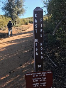
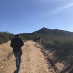
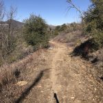
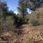
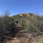
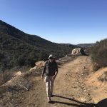
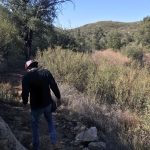
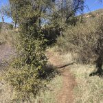
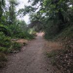
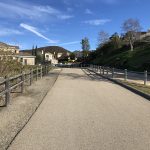
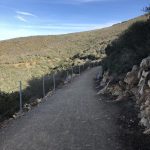
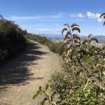
The trailhead to Oakzanita Peak  starts by taking the East Mesa Fire Road Trail which is clearly marked at the trailhead start (see above photo).  From here we stayed on the road the entire 2.9 miles up the trail until it links into the Oakzanita Trail which is a 1.5 mile hike over to Oakzanita Peak.

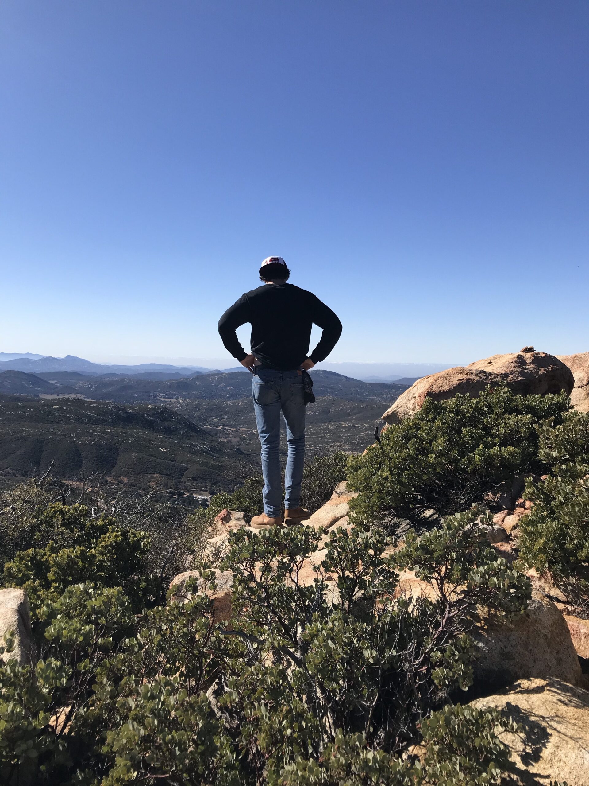
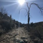
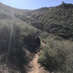
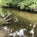
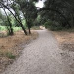
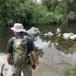
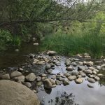
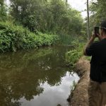
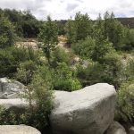
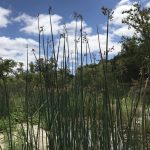
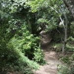
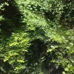
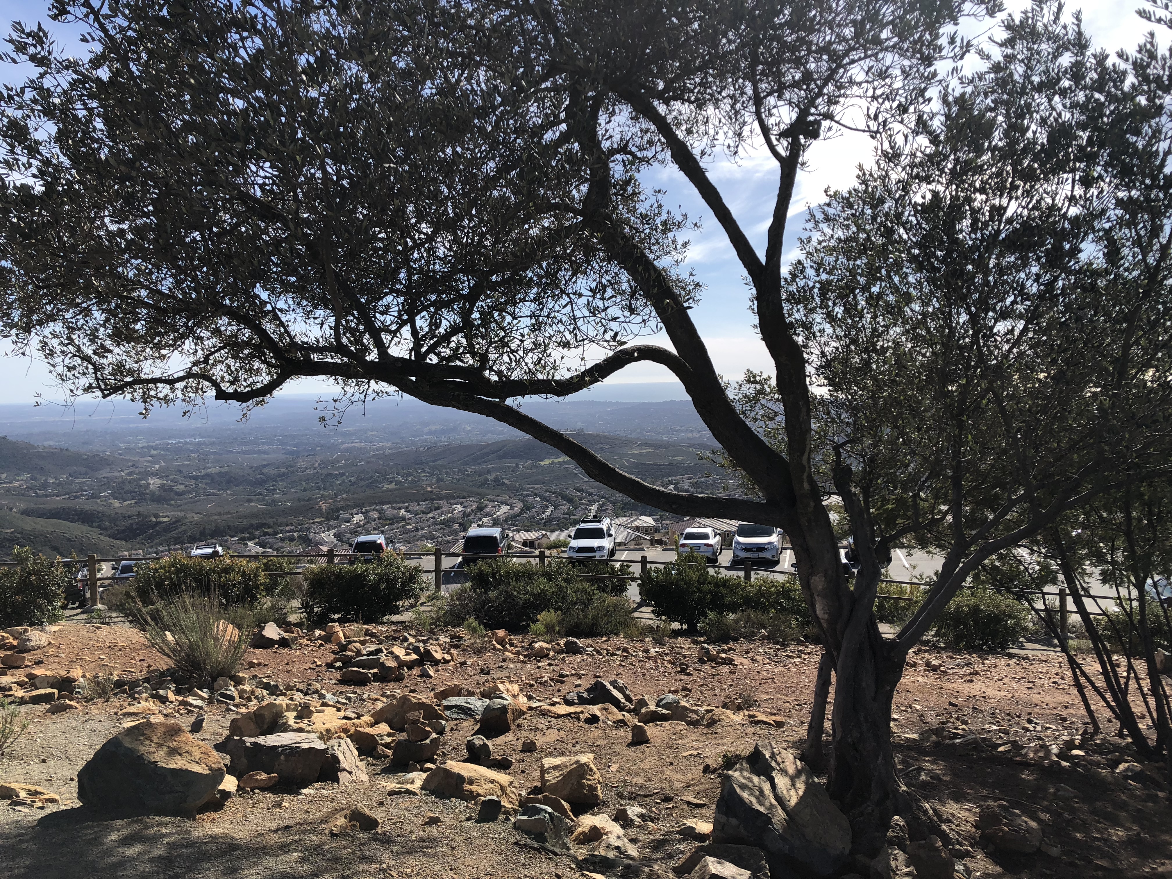
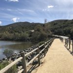
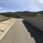
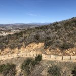
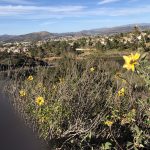
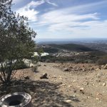
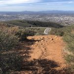
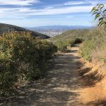
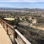
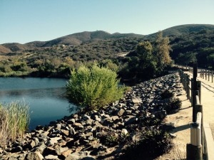
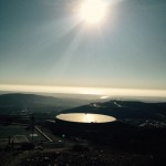
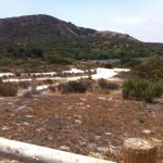
My three favorite hiking colors in nature, brown, green and blue were on full display this Thursday morning.  The rich beige and browns of the hard packed earth and sand Fire Road Trail trail, the vivid bright blue sky and natures various shades of green on full display as the vegetation of the Cuyamaca Rancho State Park area was brought to life by recent rains.  


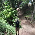
There is an alternative trail which branches off of the Fire Road called Upper Descanso Creek Trail which links in about .6 mi from the trail head start point and in fact is the trail we took down from the Peak.     Upper Descanso Creek Trail will link you into the Oakzanita Trail.  Taking this way up is a much steeper ascent but does knock of nearly .75 mile off the hike.  Thus if you took this section up and back your hike would be about 1.5 miles less in distance than doing the Fire Road out and back. 


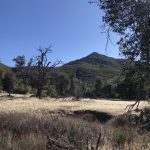
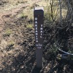
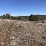
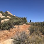
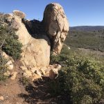
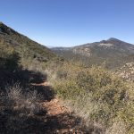
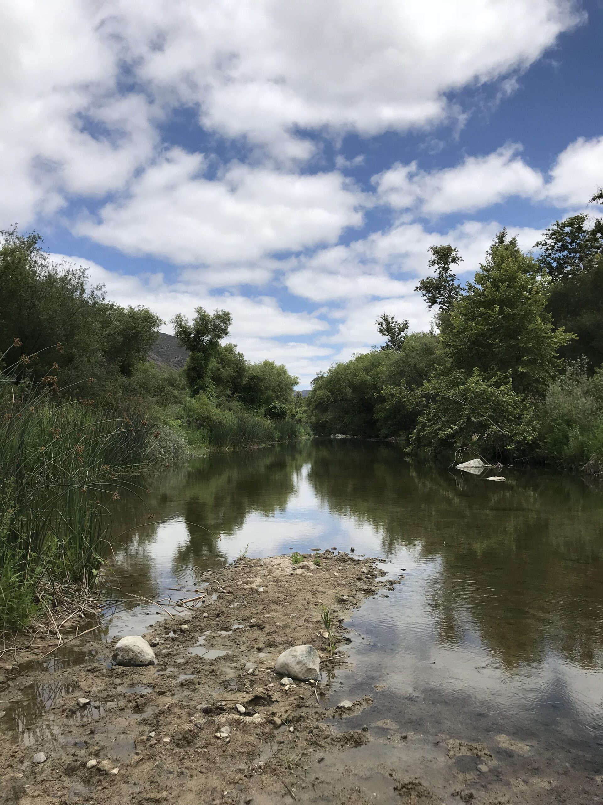
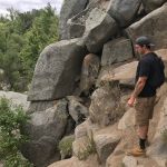
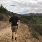
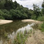
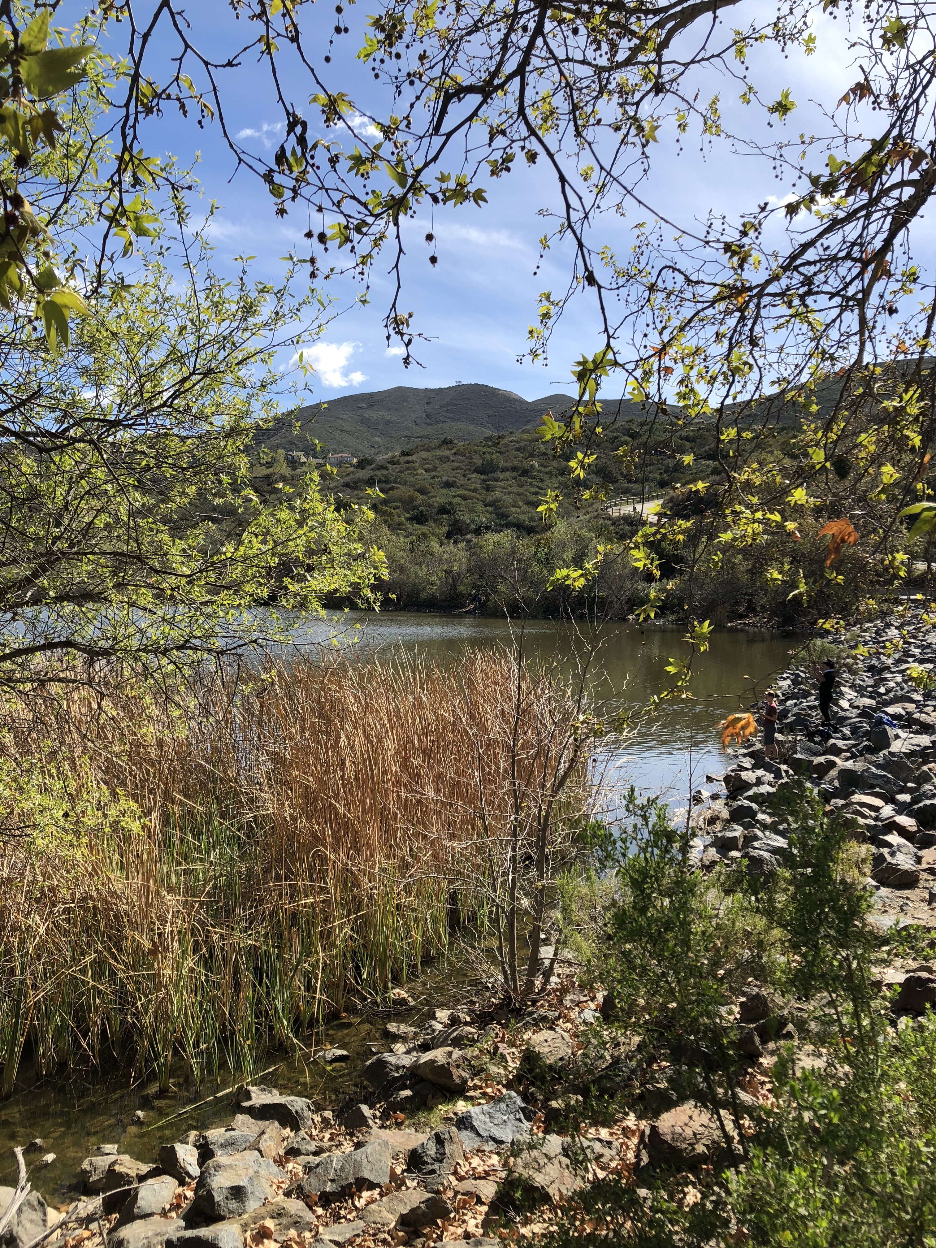
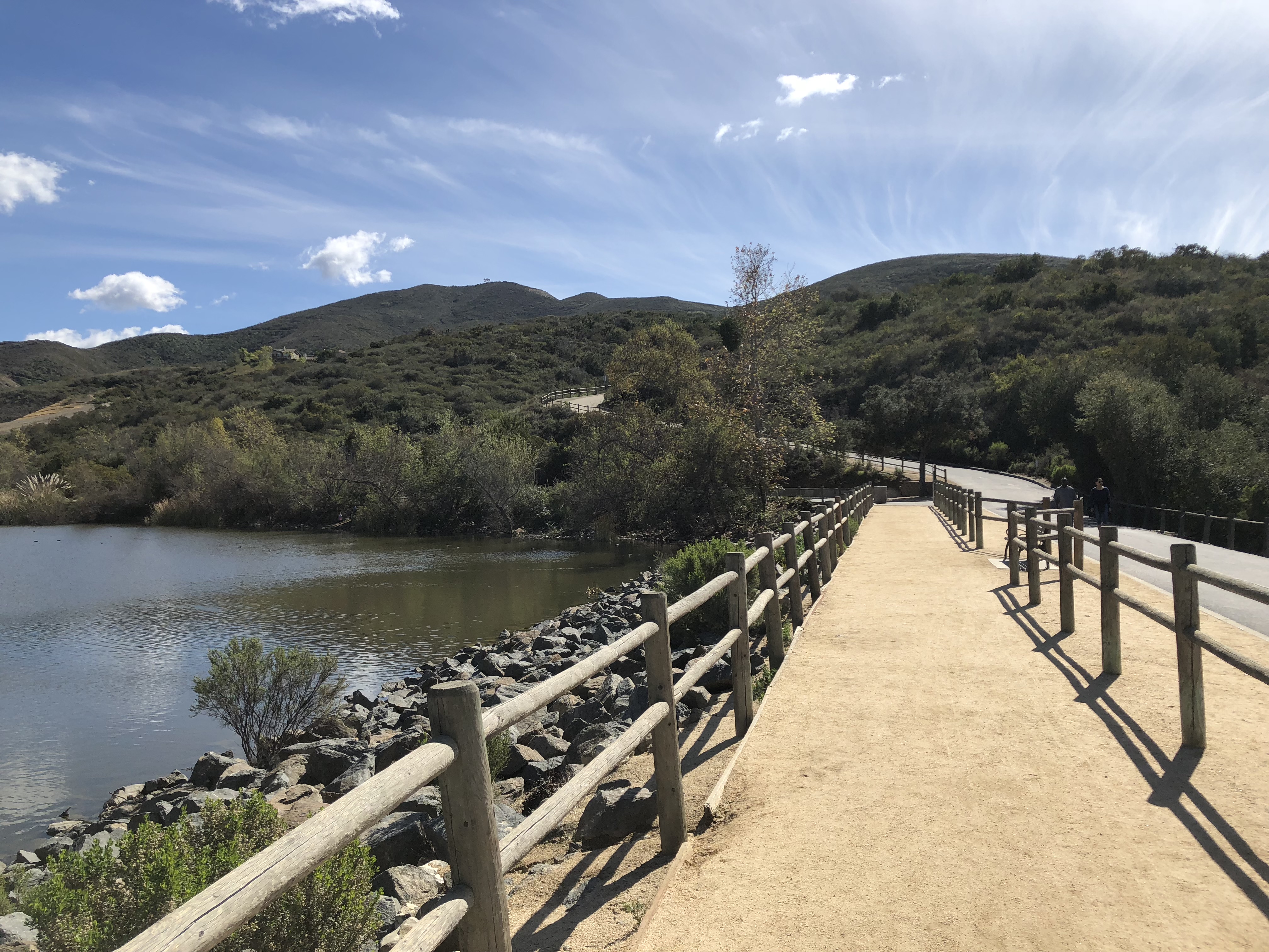
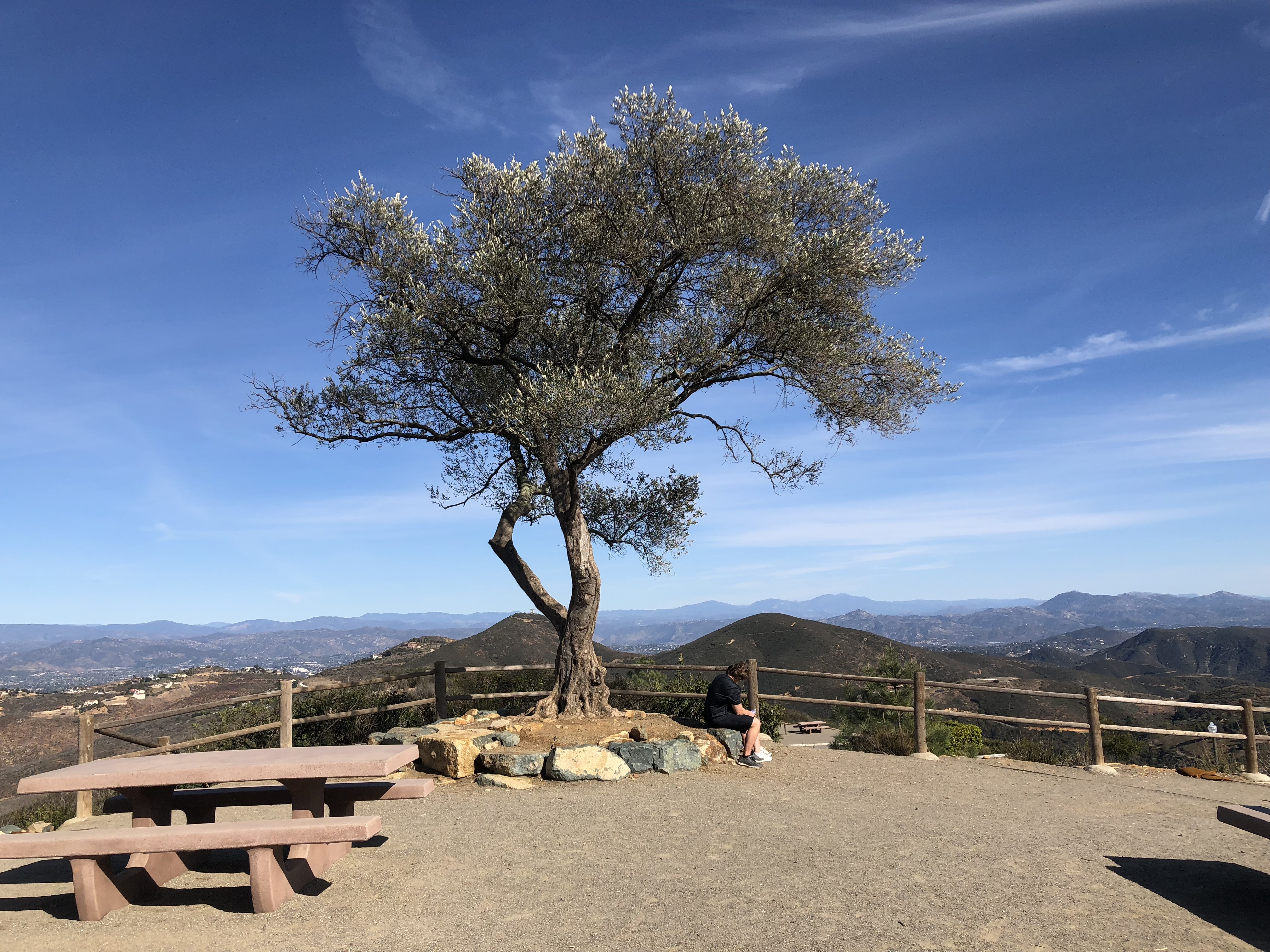
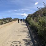
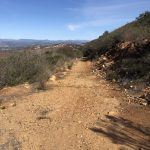
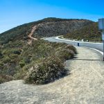
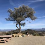
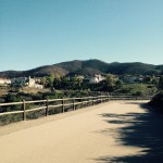
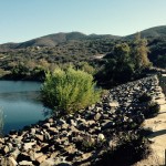
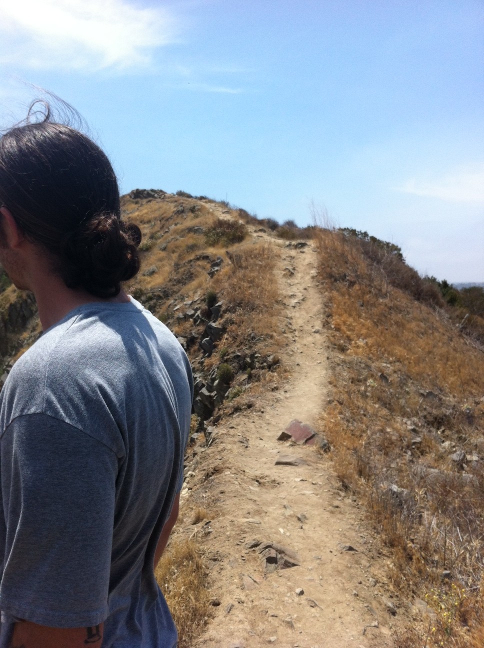
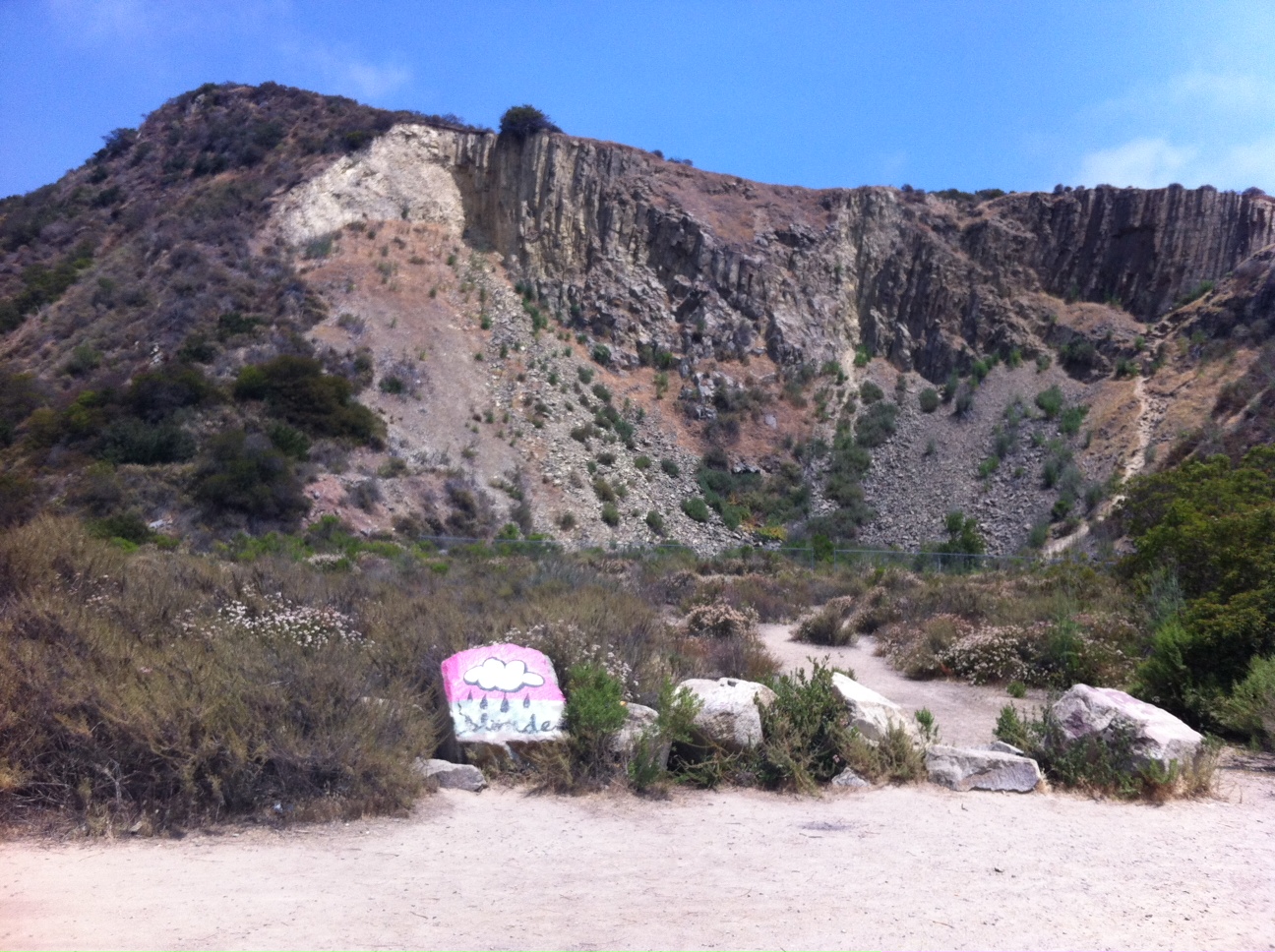
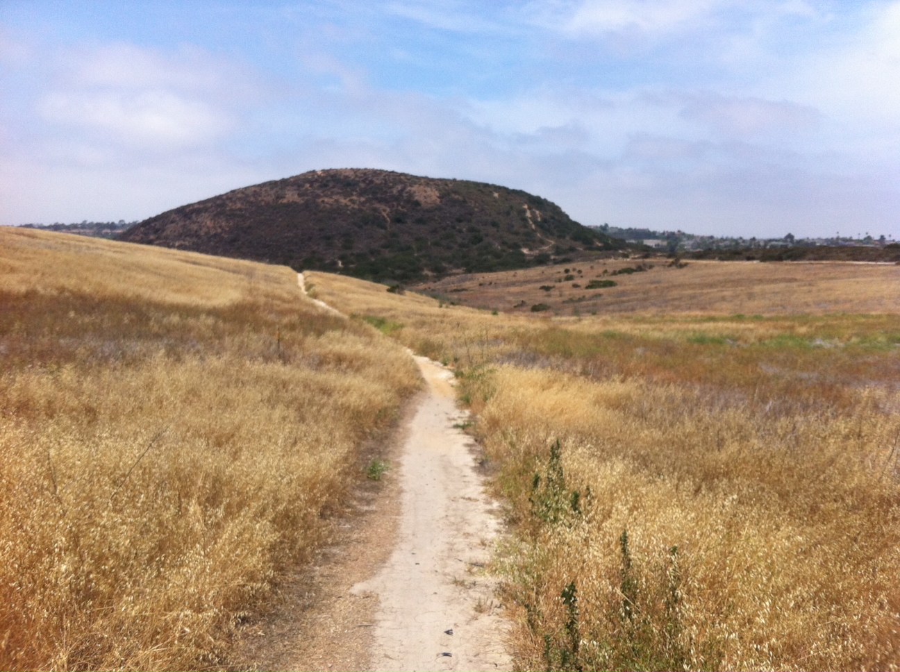
As we made a right turn at the Oakzanita Trail sign, we knew we had about 1.5  mile to go over to Oakzanita Peak.  This was my favorite part of the hike.  As you gaze left you see wide open meadows, the East Mesa, that seemingly stretches for miles.  To the right, the view of Oakzanita Peak becomes clear and its boulder encrusted summit juts out in majestic form.  


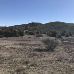
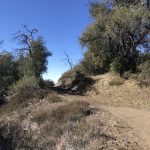
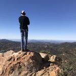
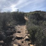
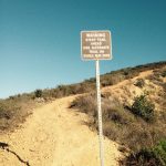
Soon you will come to another marker that states .6 to Oakzanita Peak.  From here the trail gets rockier but well worth the last push and ascent to the peak.  Beautiful 360 views from the peak including views of Stonewall Peak, Cuyamaca Peak and Middle Mountain as well as in the distance Eagle Peak.


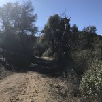
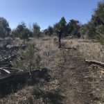
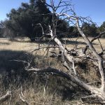
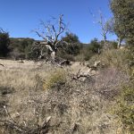
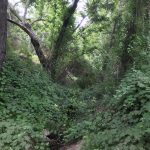
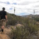
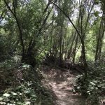
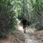
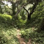
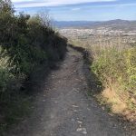
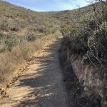
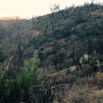
To descend go back .6 mile to the Oakzanita Trail  marker and decide if you want to go back the same way up along the Fire Road Trail the 2.9 miles or turn left at the marker and join  the Upper East Mesa Creek Trail which will take you 1.6 miles  to the Fire Road and back to the trailhead start.  This route is somewhat less in distance and a narrower rockier trail.  However, I liked going back this way to add more diversity of vegetation and scenery.  


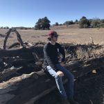
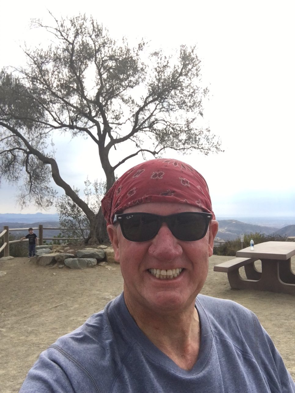
Love my first time hiking Oakzanita.  My son, better known as the Trailmaster due to his ability to find these rich and fulfilling hikes had hiked this before and wanted to introduce me to this adventurous hike.  Great challenge of trail, love the diversity of vegetation and scenery as well as incredible views.  Not to mention being out in nature and the calming theraputic effect nature provides.   
Hike on!

Santa Margarita River Trail, Fallbrook, CA Father’s Day Hike 06/18/2017

Distance:  6 miles   Elevation Gain: 469′ Date and Time:  Sunday June, 18th  10am to 1pm  Temp:  70’s  Hikeability:  Easy-Moderate  Water & Snack:  1.5 liters, Probar, Orange

Directions to trailhead :   From the coast, take Highway 76 east and turn left on Mission Road, heading north. Take the first left onto Pico Road, which quickly becomes De Luz Road. Veer right onto Sandia Creek Road, and park on the trailhead just before the bridge.

A hike I’ve heard of more about from the local hiking community here in the North County section of San Diego is the Santa Margarita River Trail in Fallbrook, CA. This hidden gem of a trail parallels a clean clear slow moving river out into the back country and hills of Fallbrook.  


The trail is very well marked, much of the way soft sand with some ares of the trail rock and boulder “hazards” dotted along the way just to add some interest and challenge to this relatively easy trail.  


That said, at trails end, you really do feel like you have hiked a much more aggressive trail than what the Santa Margarita River Trail has to offer.   The fun part of this hike is at certain sections  2 miles out you can find “secret” areas that allow you to cross the river with a few rock climbs and bushwhacking (watch out for the Posion Oak)


You can  step rock to rock crossing the river leading which will lwad you to the continuation of trail on the other side of the river.  This continuation trail ends further  into the hills and at one point offers you a climb up to a plateau  and sweeping views of the Valley and distant mountains and hills.


On the way back we had to find a narrow area of the river so the we could cross. We eventually picked a spot that wasn’t too deep, took off our boots, rolled up out pants, and made the adventurous crossing, bare foot and all.  The river is clear, clean nd cooling on the feet.   

Quite refreshing after our previous 3 miles of hiking the trail and up into the hill


The Santa Margarita River Trail offers two “paths” to hike along, one that gets you closer to the rivers edge and one that is elevated and detours you around thechallenging parts of the river trail.  

Either way, as mentioned earlier, there is plenty of Poison Oak on this trial and from my 6 plus years of hiking San Diego County, the Sant Margarita River Trail has more Poison Oak than on any trail Ive hiked. 

All due respect to the back country of Jullian and Palomar Mountain trails as well 


A fun landmark along the way back at about mile 4 on the upper section of the trail was an old rusted out automobile hull, I’m guessing was at least 40 years old due to its all steel chassis (including the steering wheel) conuctrustion, bumper and all.  

The rusted hull of a vehicle makes for great photo opportunities and discovery.


The Santa margarita River Trail also is lined with beautiful green vegetation, oaks and other vine like flour and fauna, making some of this trail feel lie a jungle hike amidst lush tropical dense rai forest like atmosphere. The trail back is quick and before you know it you will be back at the gated trailhead and the parking lot.  

I always like finding new hiking spots and trails in a county we are so fortunate to have lots of diverse and beautiful hiking trails.

As always, don’t hike alone, respect your own limits, respect your partners limits, bring more water than you need and most important….have Fun!…Hike on! 

Double Peak Trail San Marcos, CA 03/04/2018

Distance:  4.6 mi   Hike Time: 1:15pm to 3:45pm  Steps: 9972  Elevation at peak: 1646′

Elevation Gain:  1000′ Water:  1.5 l  Snacks: Redd bar and hard boiled egg 

Hikeability: Moderate   Getting there: Take Highway 78 to San Marcos Boulevard. If coming from the coast, turn right. If from the 15, turn left. Turn left onto Bent Avenue, which will turn into Craven Road. Turn right onto Foxhall Drive, and then turn right into the Discovery Lake parking lot or park along the street.

Discovery Lake                            
Hiker Therapy


Double Peak Trail is one of my top 4 hikes in North County San Diego along with Lake Calavera Preserve, Oceanside, Daly Ranch, Escondio and Monserate Mountain Fallbrook, CA.  Double Peak offers a very clean trail, well marked, easy access, excellent trail conditions and the famous “Tree” at the peak which can be seen from miles around.


Double Peak Trail is part of the Discovery Lake Park system, which includes Discovery Lake and Discovery park.  Both of which offer a great family place to play, fish, picnic and hangout on a weekend day or any day for that matter.

Double Peak Trailhead
Hiker Therapy

The trailhead to Double Peak starts at Discovery Park and its beginning trail leads you right alongside Discovery Lake.  If you prefer you can start at the opposite or top end of the park and wind around the lake and join back up with the main trail up to the peak.


In fact the beginning part of the trail is a service road that leads up into a local neighborhood and then up a residential street which connects you to the “Real” trail. This beginning service road always is the most challenging part of the hike for me.


 Its a steep climb and its right when you start out, so be prepared for some “legburn” before the trail evens out and heads into the local neighborhood. The neighborhood road up is about 1/4-1/3 of a mile before you reconnect with the Double Peak Trail.


Urban Hike part
Hiker Therapy

At the top of the street, you cross over to the main trail.  Once on this part of the trail you are hiking on hard packed sand up most of the way to the peak.  As you wind up halfway to the peak the trail does turn to a rockier composition but then again returns to the hard packed sand trail composition.


 Soon you will climb high enough to start picking up good views of North County as well as California State University San Marcos to your east.  Much of this trail surrounding vegetation has been burned in recent years fires, but much of the brush, plant life and chaparral has grown back.


Trail spur left, steep trail in background, road up to Peak
Hiker Thera

As you continue to climb and at the 1.8 mile mark you will come to Double Peak Rd.  This is your final climb up as you stay left on the sidewalk.  At the 2 mile mark you will come to a trail spur that dips down to the left.

 This is an option that will get you to the peak, (of the three ways up I say this is the most challenging option) and well worth getting off the main trail.  This spur will take you to the opposite side of the Double Peak summit.  

Trail to Steep Sign
Hiker Therapy

You can also continue on to the “Steep Sign” marker, you can take this dirt trail up but beware its a leg burner and as the signed has warned us  its steep.  Most who ascend Double peak take the sidewalk along side Double Peak road up.


 But come on! This is a hike! and the more adventure and spice you can add to the hike the better  I usually go up the “Steep” trail sign way.  Although recently I have been going the trail spur to the left and the first of the 3 options that you come to.  

Double Peak Summit Tree Hiker Therapy

Either one of the three ways you will summit Double Peak and enjoy the 2.3 mile hike up and the views of the distance Palomar Mountains and on a clear day Mt. Baldy and the San Gabriel Mountains.  


To your immediate east you will see a pointed peak, thats Mt. Whitney, not “The” Mt Whitney. You will also come face to face with the Double Peak Tree!  Looking west the pacific Ocean and south the coastline of San Diego County.

Gorgeous View looking South East from Summit, parking lot adjacent
Hiker Therapy

Most of the people at the peak have driven up Double Peak road, so congratulate yourself on your hike up and enjoy a snack and the gorgeous 360 degree views.  There is a restroom at this peak that is well kept by the local park ranger.


Me at the Summit Peak
Hiker Therapy

Double Peak is one of my go to local hikes and one that provides a good challenge, a nice sense of nature even though you are hiking through a suburban neighborhood some of the way.


A good sense of accomplishment and at roughly 4.6 miles a good enough challenge to make you think you’ve gotten a good workout, which you have, as most times a few hours after I get back home my legs will attest to.


As always, hike with a friend, respect your limits, respect your friends limits, take more water than you need, a snack and remember its not a race, enjoy each foot step along the trail 

Hike On!  


Double Peak Mountain Trail: North San Diego County 09/26/2015

lake1If you are looking for a good go to hike and are in North County, Double Peak in San Marcos is the hike for you. This hike is easy to get too, it is a clean and well designed out and back trail, and it offers enough challenge, climb, and distance to give you a good workout along with a sense of accomplishment. There are a few ways to approach the trail, the one I usually choose is the trailhead at the end of Foxtail Drive, which leads you to a small parking area at the end of Foxtail. You can start either side of Discovery Lake, one side leads you past the lake on your right and over the bridge, The trail up to the summit leads to the left.

The trail ascends up winds to the right and you are off and climbing. The remainder of the way is a gentle climb, flattens out on a very well made compacted sandy trail. Keep climbing until you get to the road, which leads to the summit. Along the trail notice the sections that were burned in the fire and the new regrowth that is happening. The trail will end along side the road that leads up to the top.

As you follow the trail (sidewalk) up the road you will come to a point where you can rejoin the more rugged rocky part of the trail or you can continue up sidewalk. I prefer the trail as it adds to the challenge and provides a more rustic experience to the hike. As you ascend to the top turn left and you we see the tree. Ascend a steep section to the summit and you made it to the 1646-foot summit of Double Peak Mountain! The summit has picnic tables a restroom and a great view of mountains east, Palomar College Cal State San Marcos and to the west the Ocean.   

Take your time enjoy the great views and reward yourself with the peaceful setting the summit provides. The distance from the lake to the summit is 2.3 miles which takes an hour or less. The descent down should take you 40 minutes.

Our county has many great hikes, most of which are south and east of us up here in North County. However, for a hike that is close by and still offers the feeling of ascending a mountain try Double Peak. Afterward Sonic for a snack!

Distance & Time: 4.6 miles 2.5 hours with 40 minutes at the top

Water & Snack: 56 oz and a Pro Bar

Time & Tempature: 4pm 85 degrees

Restrooms: At trailhead start in parking lot and at summit,,,,,,,


Getting there: Take Highway 78 to San Marcos Boulevard. If coming from the coast, turn right. If from the 15, turn left. Turn left onto Bent Avenue, which will turn into Craven Road. Turn right onto Foxhall Drive, and then turn right into the Discovery Lake parking lot or park along the street.  


Calavera Mountain: Lake Calavera Preserve, Tri-City Area, San Diego North County

An invigorating and cNarrow Ridge line to tophallenging hike for those in the North County is the Lake Calavera Preserve, which is located in the Tri-City area of Vista, Carlsbad and Oceanside. The trailhead start is located off of Skyhaven Lane near Lake Blvd. The trail system’s focal point is Calavera Mountain which although very accessible it presents more of a challenge than first appears.


The word “Calavera” means skull, which probably comes from the unusual shape of the area’s centerpiece, Mount Calavera. The 513-ft. Mount Calavera is not really a mountain at all but rather a 22 million-year-old volcanic plug.

Mini Grand Canyon
Mini Grand Canyon

A volcanic plug is a mass of volcanic rock that solidified in it’s vent and feeding system millions of years ago. When the volcano becomes extinct and starts to erode away, the “plug” is all that is left behind. Mount Calavera is one of only three volcanic plugs in Southern California. In the early 1900’s, the ancient plug was mined for gravel. The mining was accomplished by stripping away it’s west face and continued into the 1930’s. What is left is a rather remarkable blemish on the side of the mountain that somewhat resembles the Grand Canyon. As you approach this point on the trail, you will soon come to an artery of the main trail that will lead you up to the summit of Mount Calavera.  The trail gets much more rocky and uneven, as always focus on the trail. Soon you will come upon the ridgeline I spoke of earlier. Enjoy the great view before you head off. Head towards the open field to your right, you can’t miss it, its  huge and once you are in it you feel like you are strolling through a Midwestern, Iowa wheat field.

Great diversity on this hike

What struck me most about this hike is that there are so many ways to go, each offerinhad to send the boy in first to investigate :)
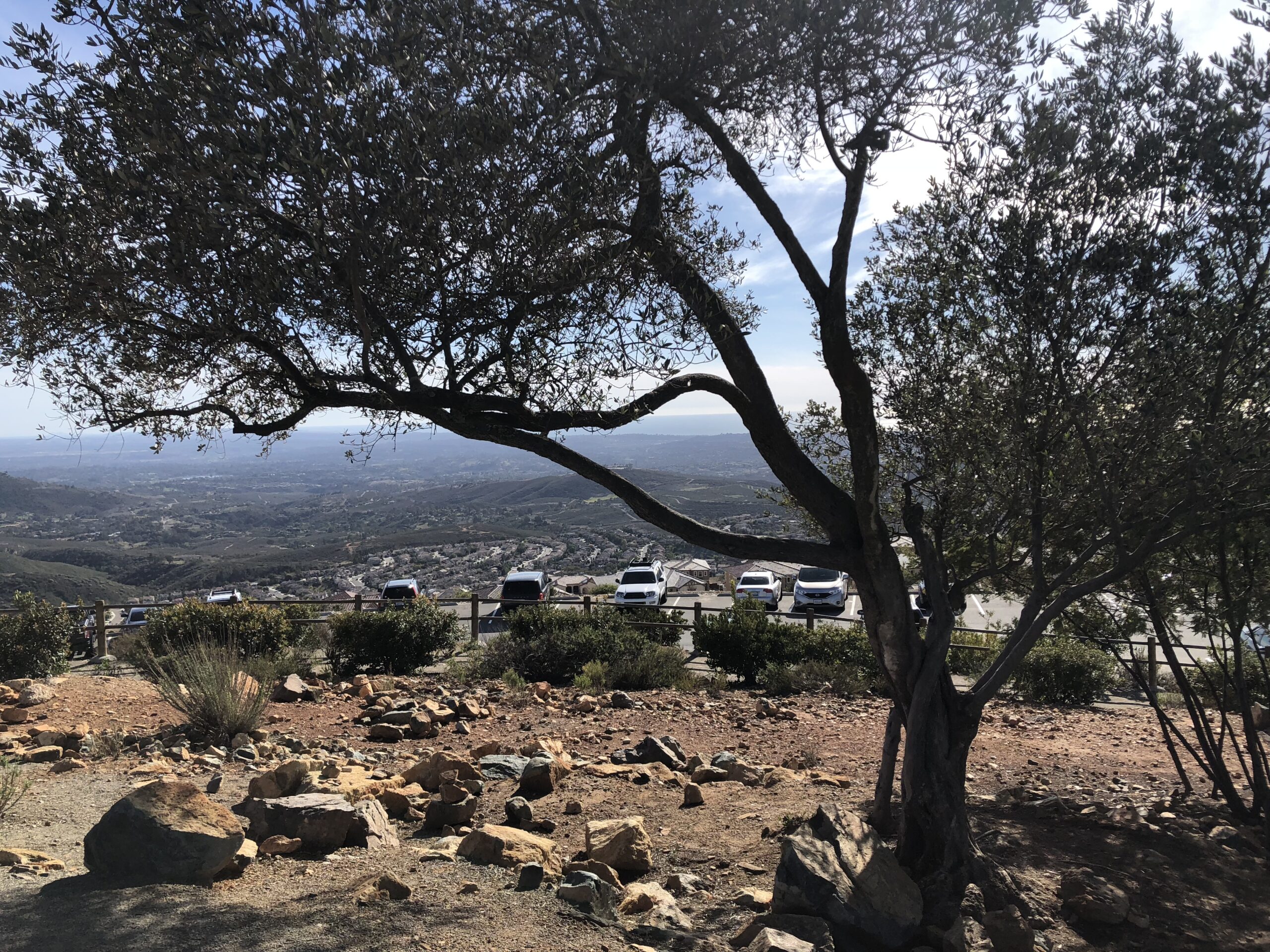
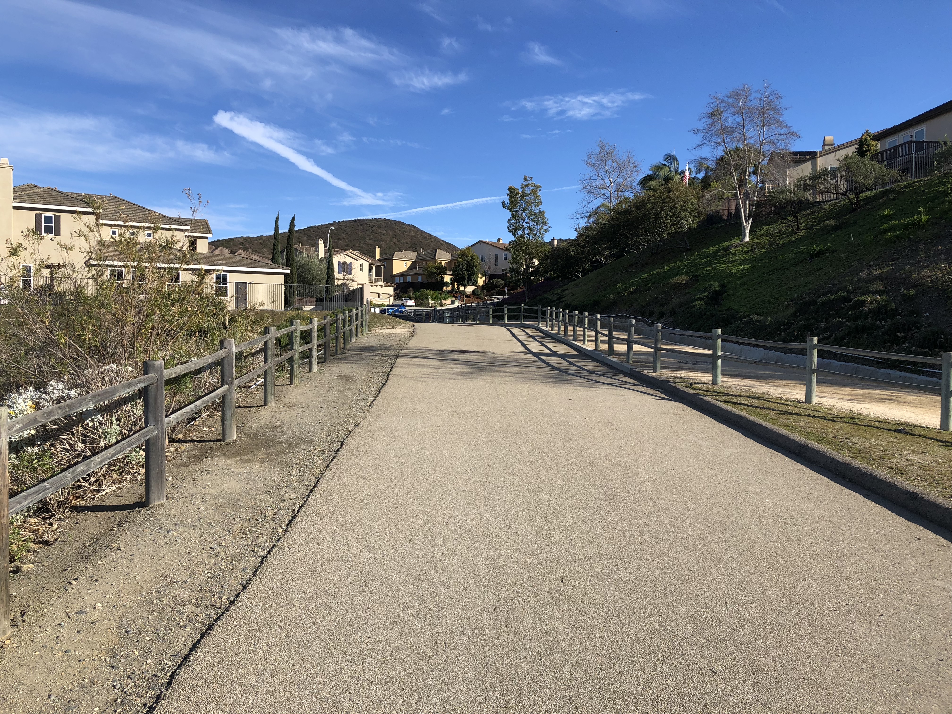
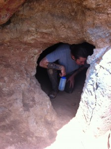
g a completely different experience. Although surrounded by a housing tract and the local high school you still experience a hike that offers open fields, rocky steep ascents, and a cave,
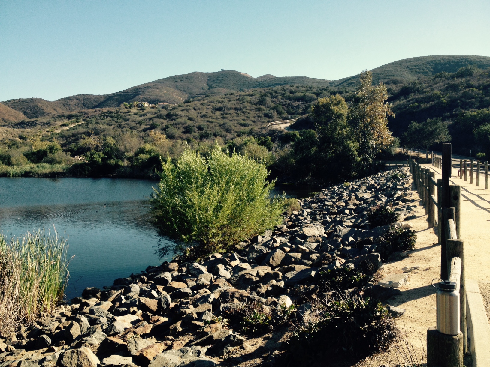
 

The beauty of this hike, you can’t get lost so long as you use Mount Calavera as a landmark you can pretty much venture anywhere in this 14 mile trail system and always find your way back to a main trail that will lead to the trailhead start.

Have Fun…Hike Safe!.


Trailhead Start: From state Route 78, exit at College Boulevard, heading south. Turn left onto Lake Boulevard, then right onto Sky Haven Lane. Sky Haven dead-ends at Azure Ladd Drive; park here on the preserve side of the road.

Time to Hike: 3 hours

Distance: 6 miles

Hikeability: moderate

Water:  2 liters

Temp: 80’s