Hike Distance: 3 Miles Steps: 7,600 Elevation: 1590′ Elevation Gain: 950′ Time: 1 Hour 43 Minutes
Hikeability: Strenuous Water: 1.5 liters Snacks: Probar and and Orange
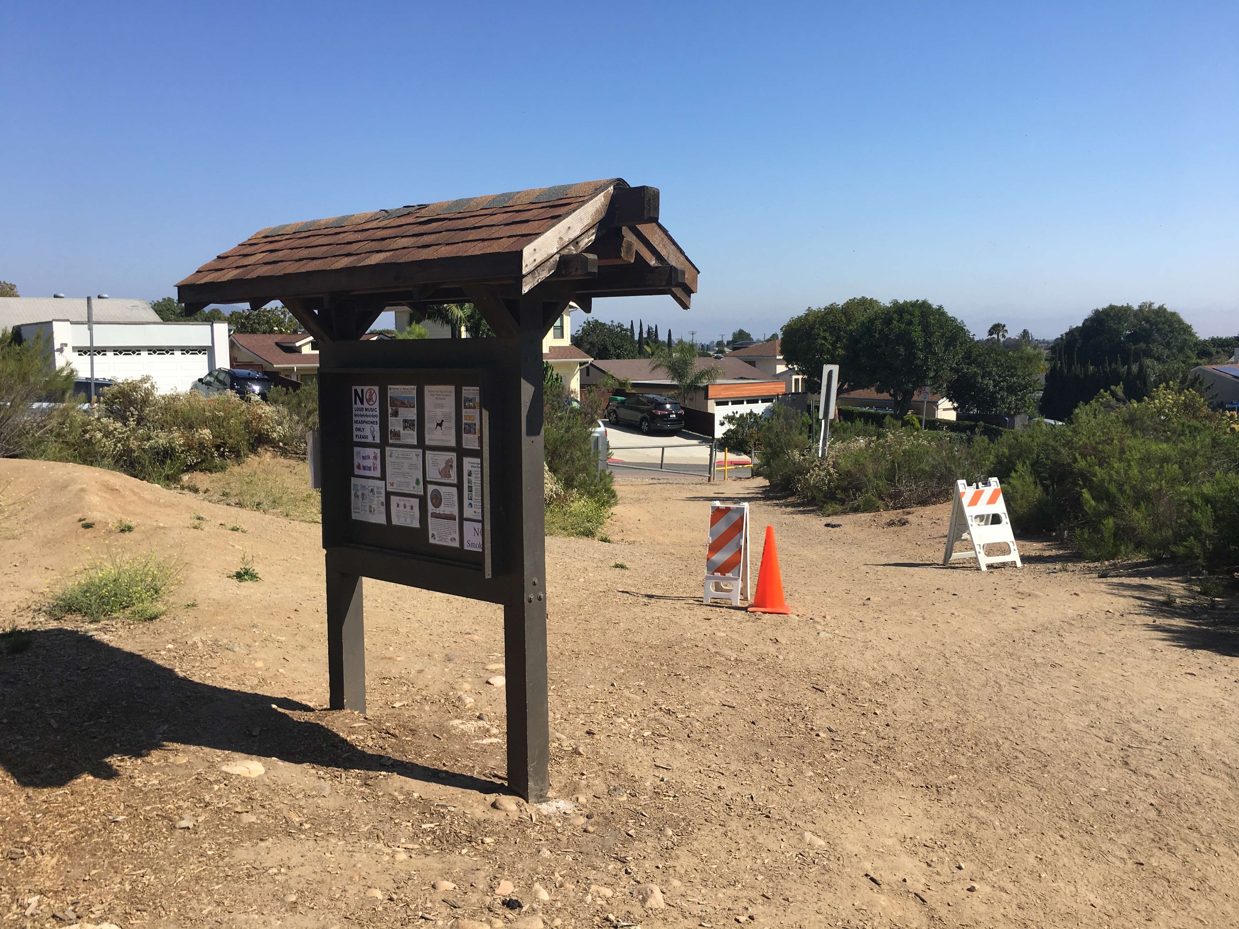
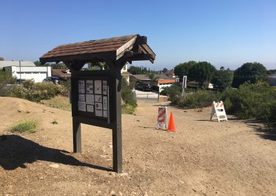
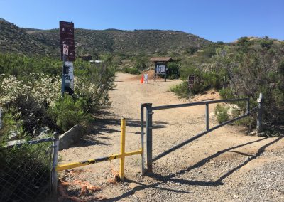
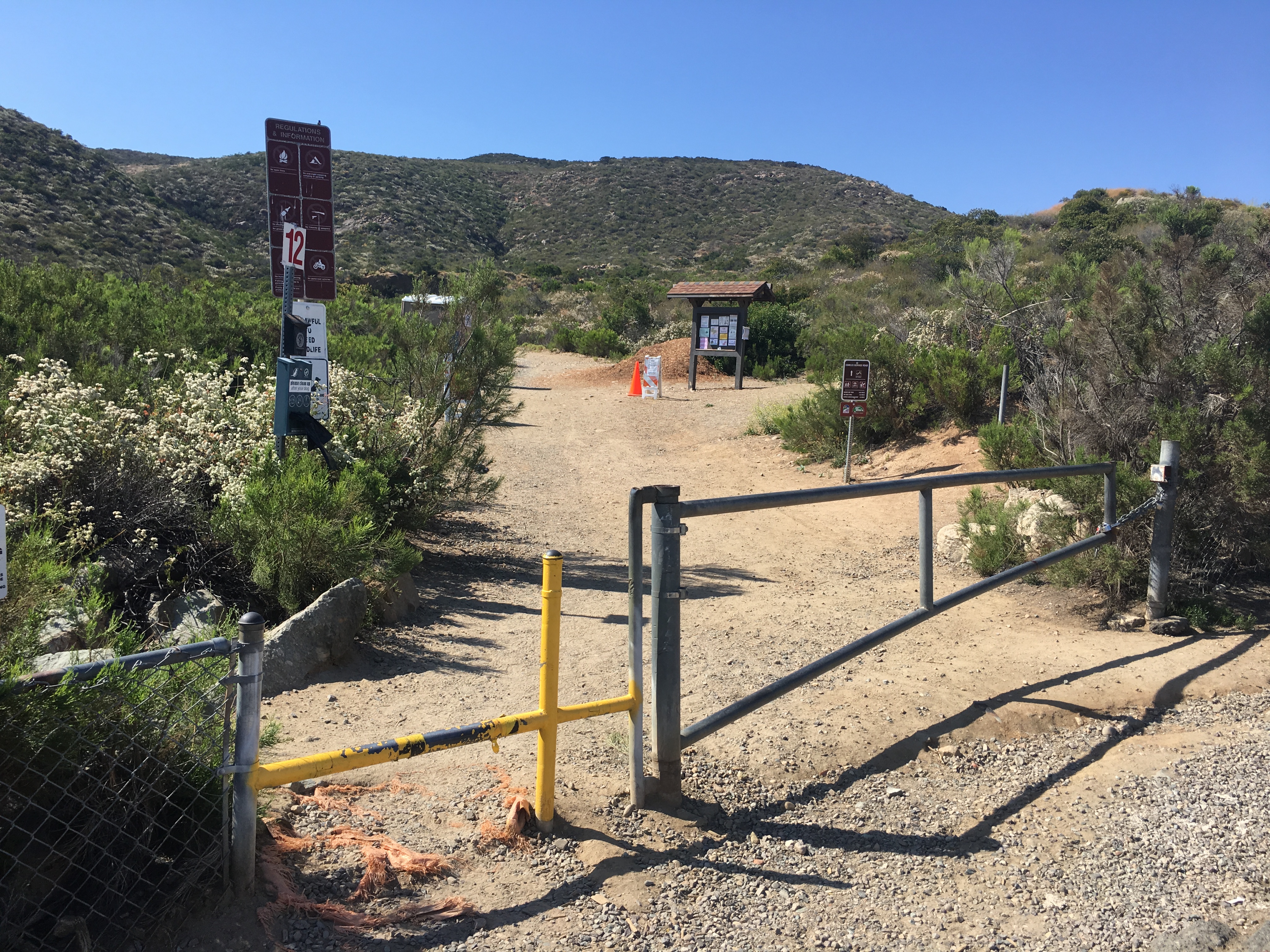
Barker Way Trailhead and Information Board Hiker Therapy
For an alternative route to summit the most popular hiking trail and the highest mountain peak in the City of San Diego, the Barker Way Fire Rd. trail is a scenic steep climb to the top of Cowles Mountain. Directions: Navajo Rd south. Turn left at Cowles Mountain Road, then left onto Boulder Lake Ave. Turn right at Barker Way and look for the trailhead on your left.
The mountain is named after George A. Cowles, (Cowles is pronouced like the store Kohl’s). a 1870s-80s rancher and early businessperson in southwestern San Diego County. For many years Cowles Mountain was locally known as “S” Mountain. In 1931, 500 students from San Diego State University (SDSU) painted a 400-foot-tall (120 m) letter “S” on the side of the mountain, after which it took on its popular name. In April 1942, during World War II, the local military ordered the S covered up for the sake of national security. After the war the painting tradition was resurrected. In the 1970s, the annual repainting tradition was ceased for environmental and habitat protection, but suffered a brief resurgence in the late 1980s. The “S” has not been repainted for nearly three decades. In the 1970s, the annual repainting tradition was ceased for environmental and habitat protection, but suffered a brief resurgence in the late 1980s. The “S” has not been repainted for nearly three decades. – wikepedia
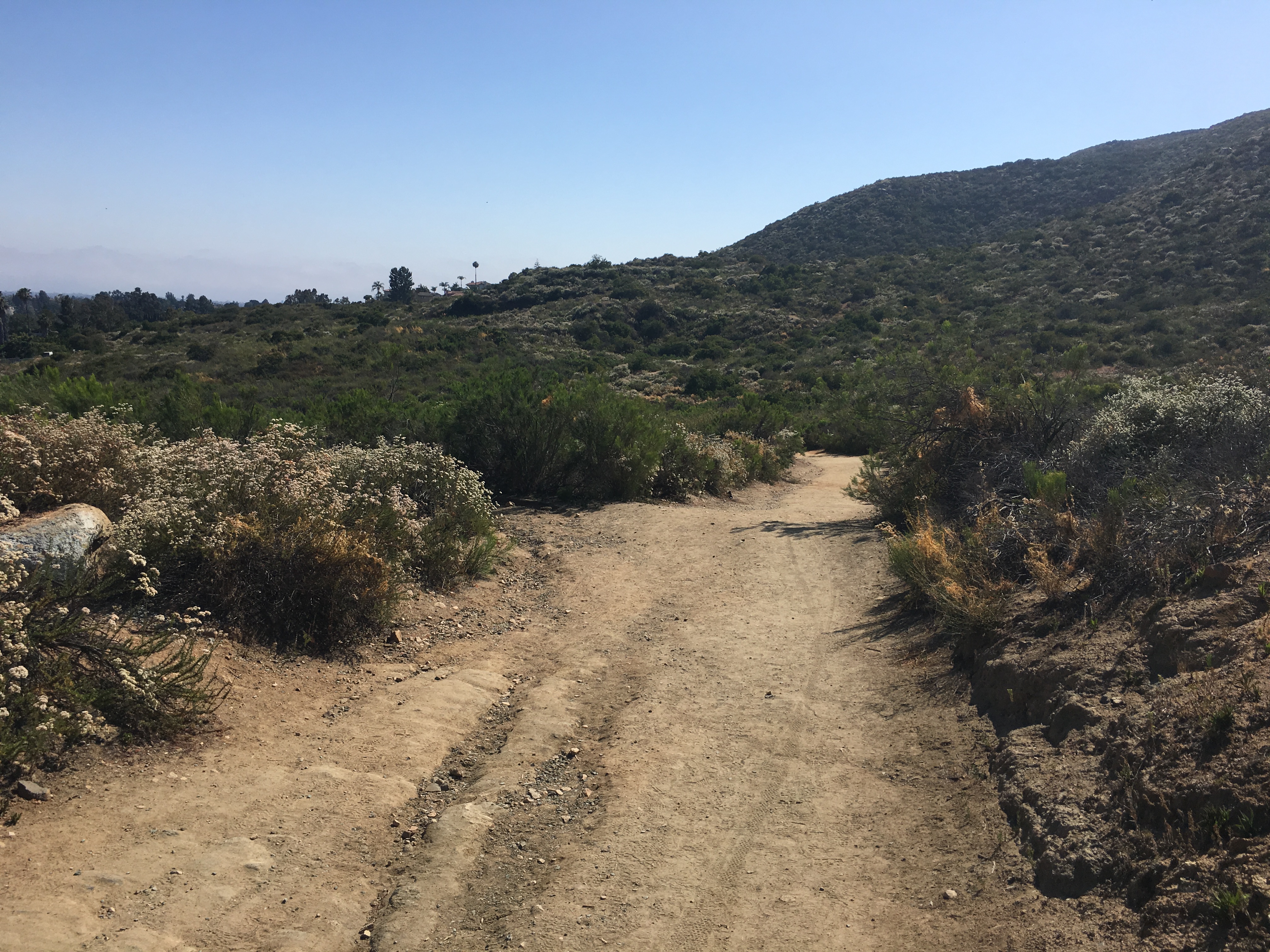
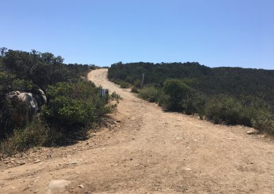
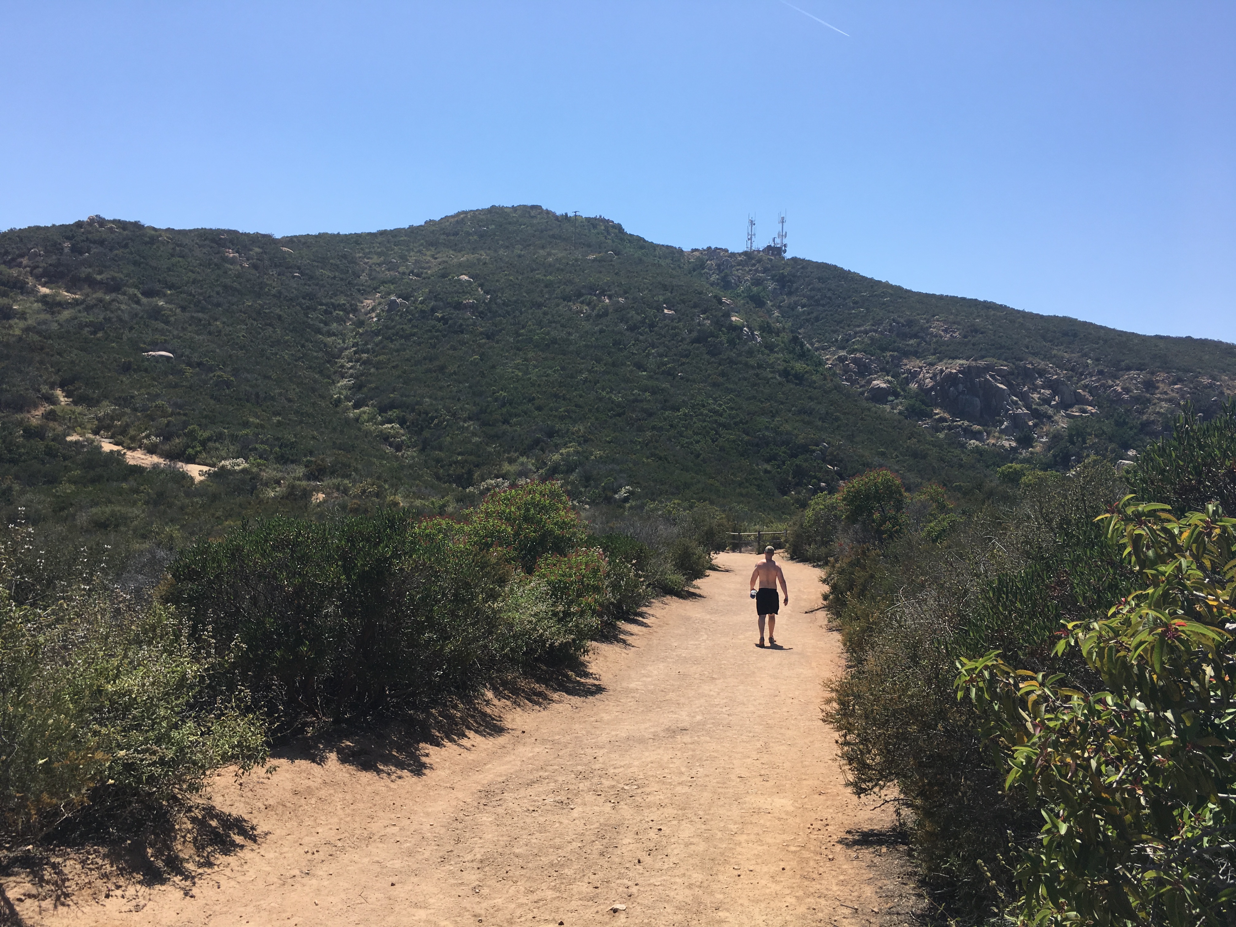
Barker Way Trailhead, Cowles Mountain Service Rd trail stay right
This 3 mile round trip hike offers a more demanding route and although the trail does flatten out in spots, for the most part this trail is the more challenging of the 3 popular routes to the top of Cowles Mountain. The other two being the more traditional climb from Golfcrest and Navajo Rd, and the trailhead starting here, Barker Way. The fire road trailhead start is the same as the Baker Way trail.
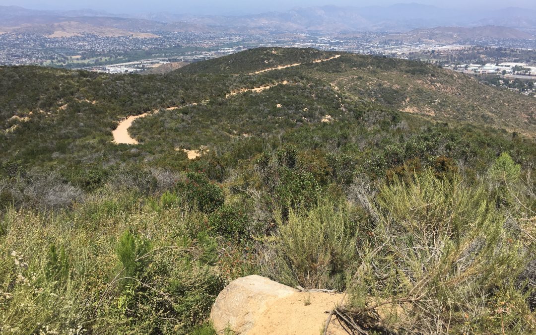
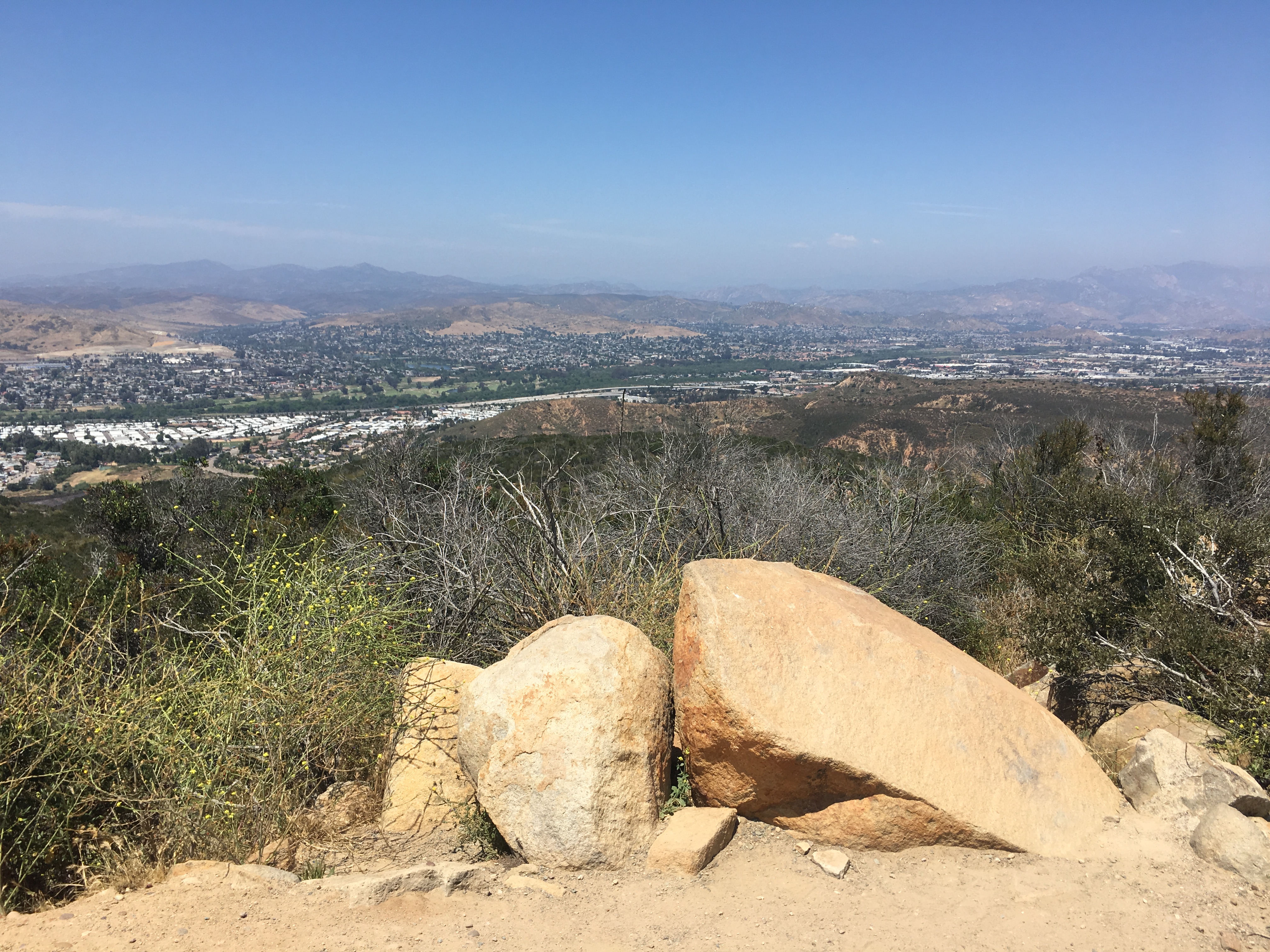
“S” Section Hiker Therapy
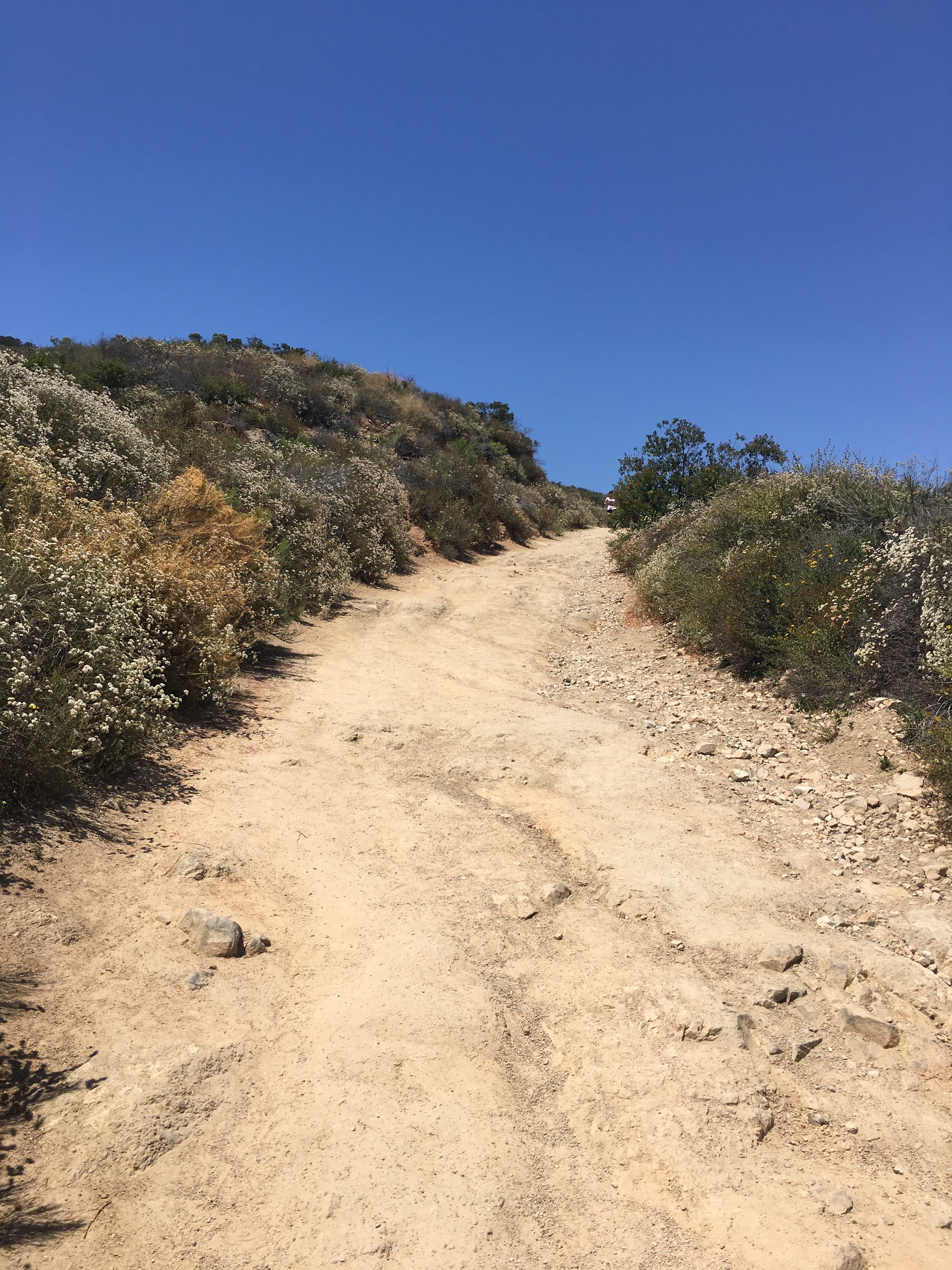
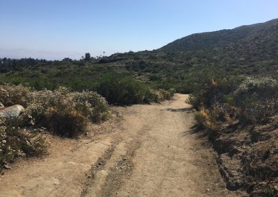
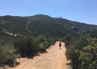
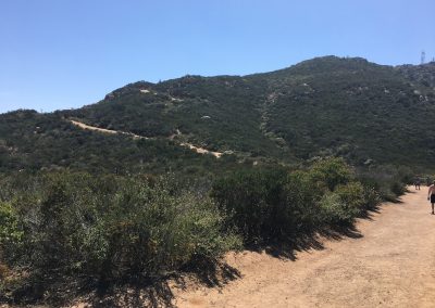
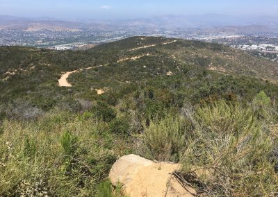
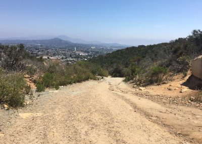
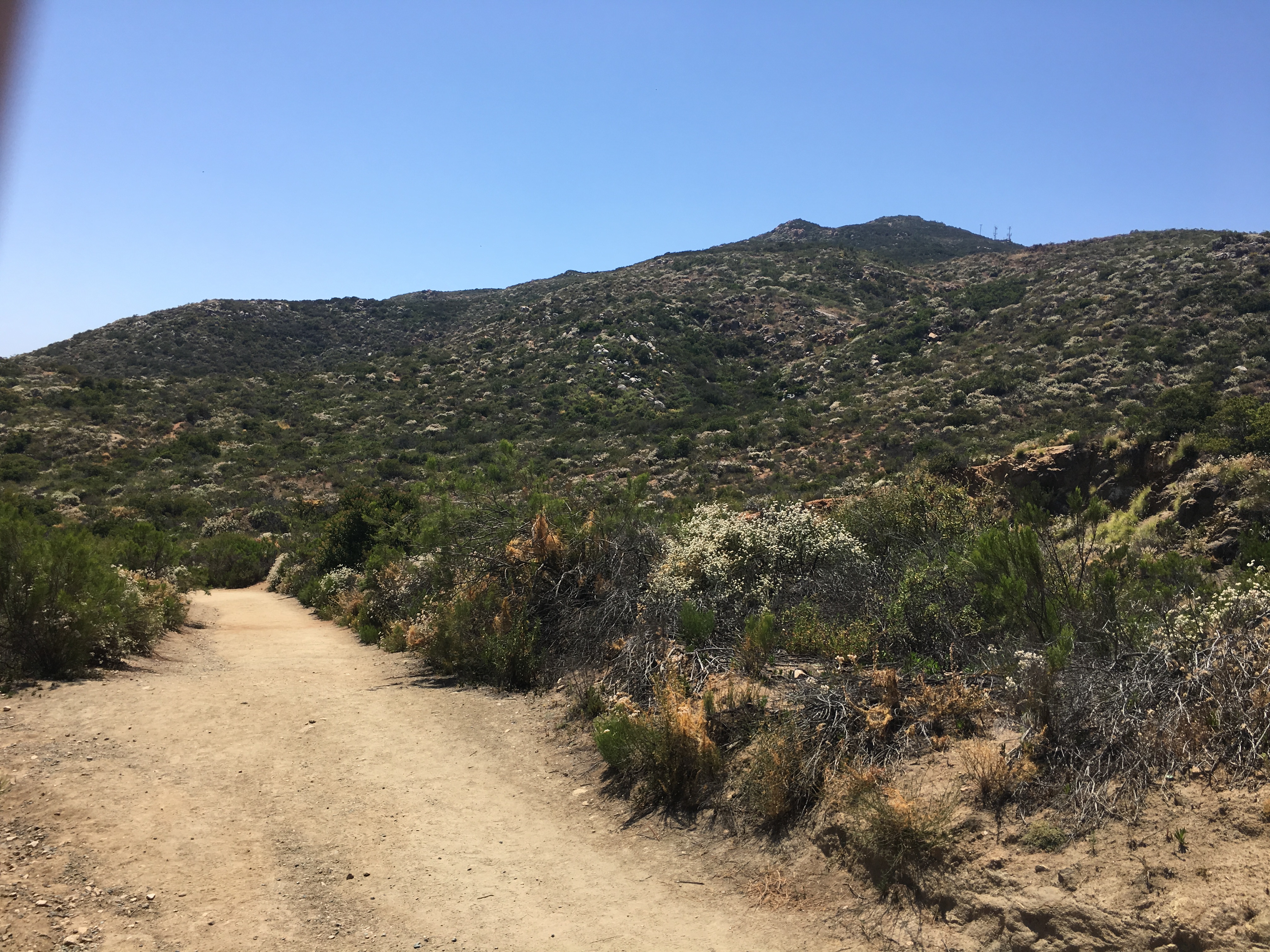
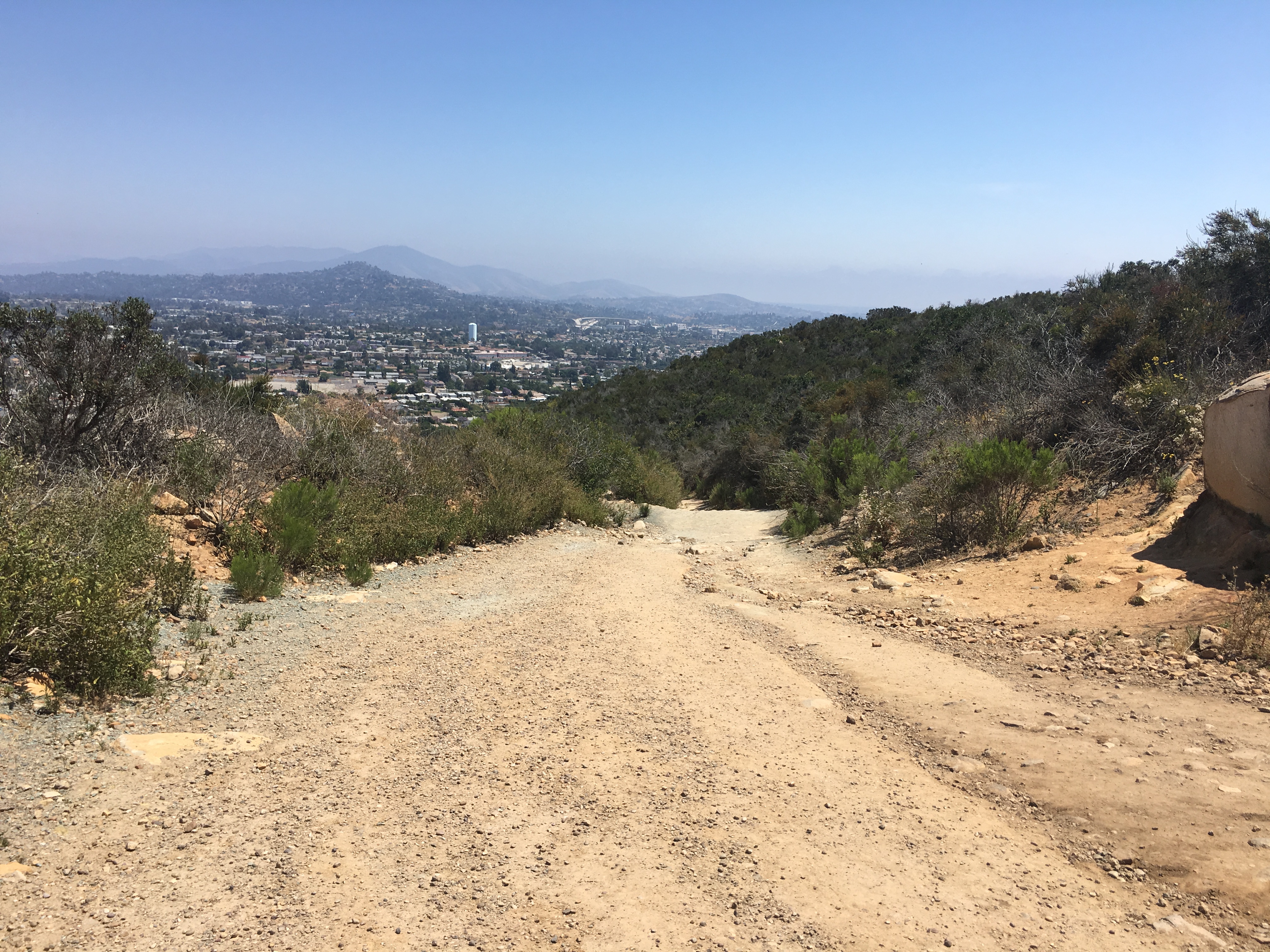
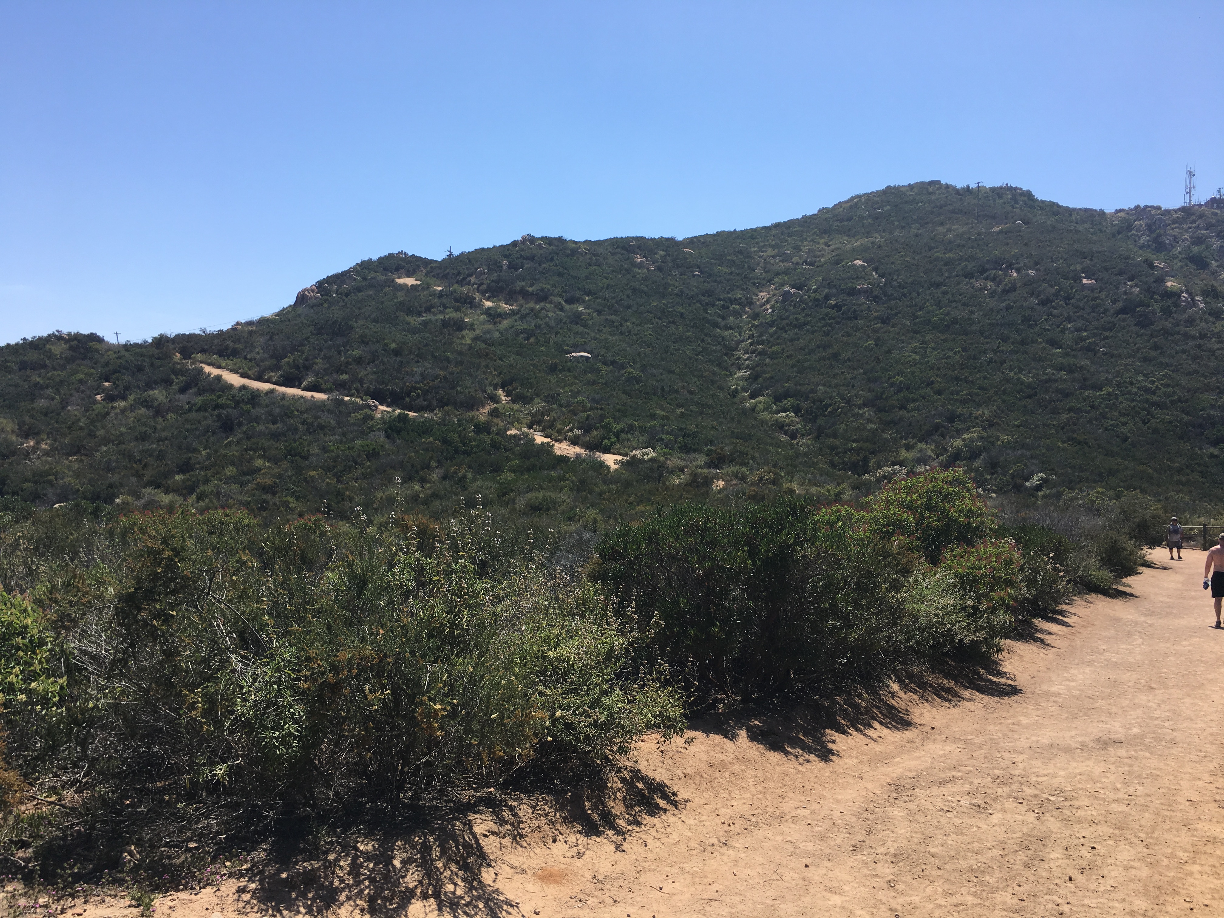
As you start on the trail, go about 100 yards, the Barker Way trail will fork off to the left, the fire road trail will stay right. Continue along this trail/fire road until you reach the peak. The trail at this point changes from hard packed sand to a rockier composition. However, most of the trail up is hard packed sand, intermittent rocker trail. Right from the get go the trail starts to ascend rather steeply, though very doable, you will continue to climb, at the 3/4 mile mark you will plateau. The ascent will again continue to incline climb up to a point where the trail begins to take on an “S” pattern as you wind to the top and the peak. At the most steepest part of the trail near the peak you are going to vier right, this is this last climb to the top and after less than a 1/8 of a mile you will reach the Peak of Cowles Mountain.
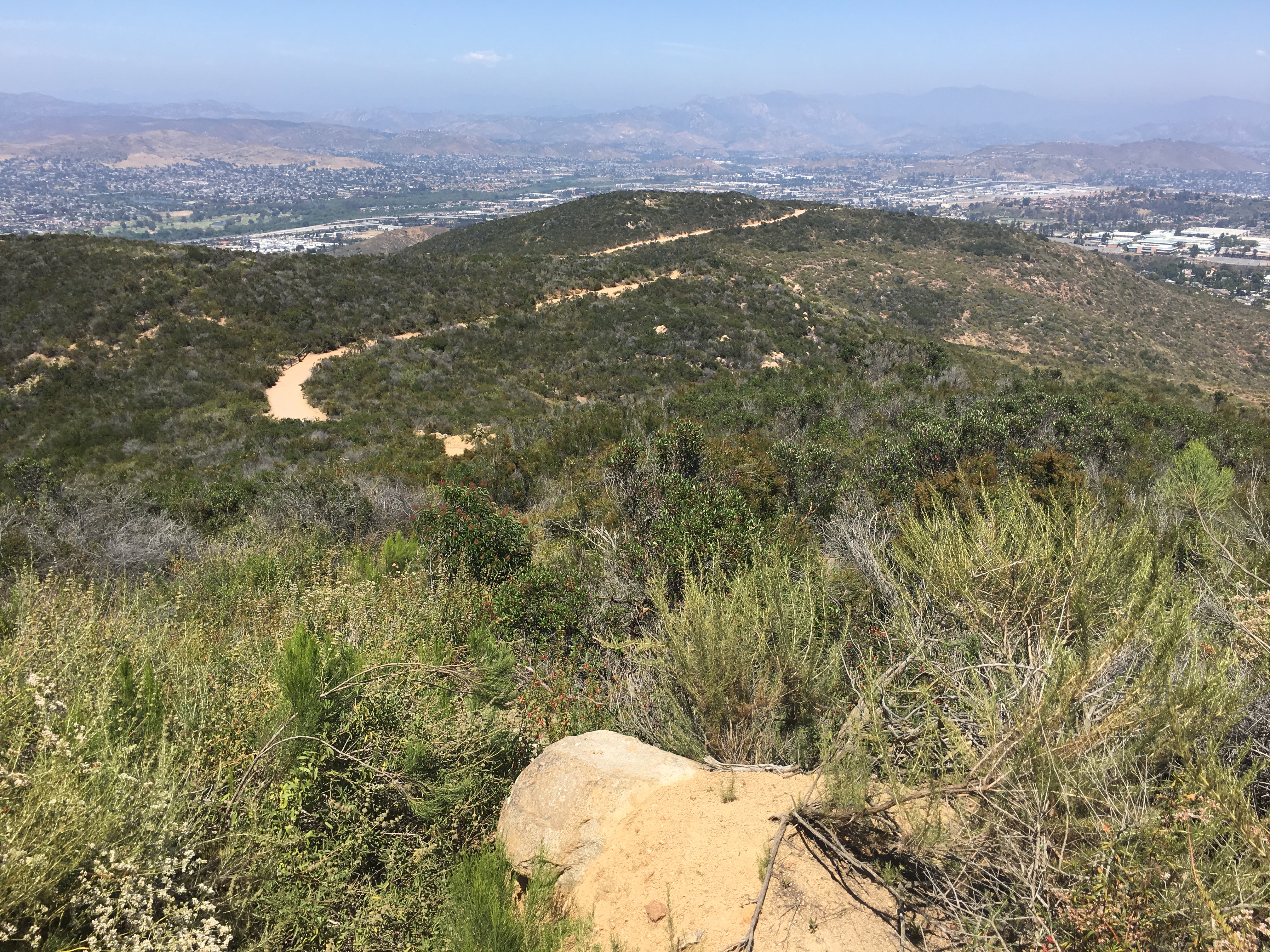
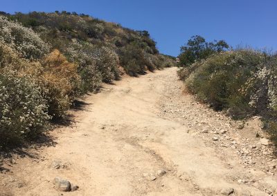
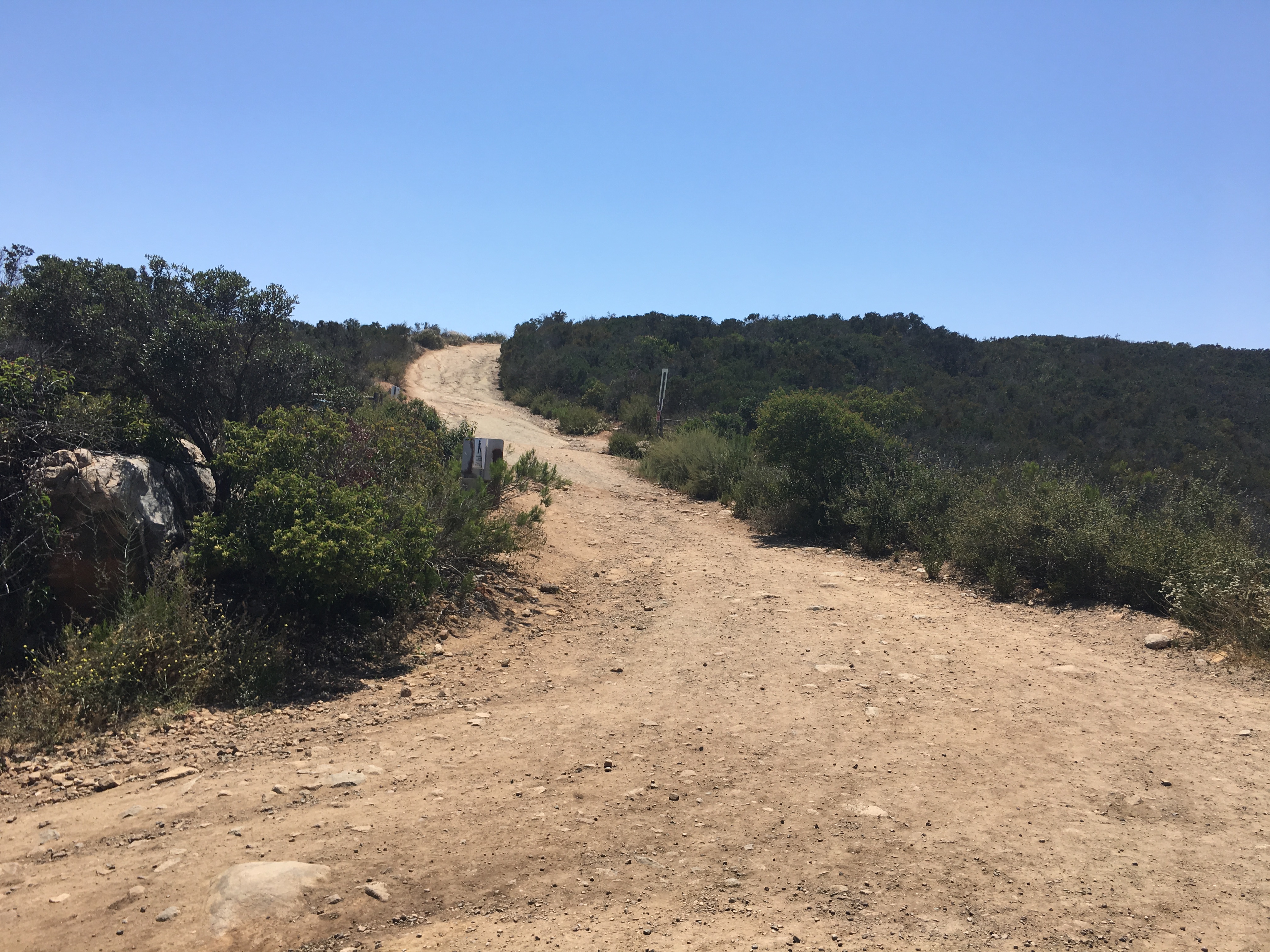
“S” section of the trail, or the “Switchbacks” begin here Hiker Therapy
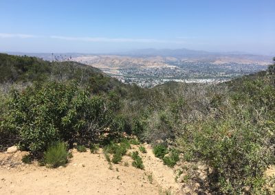
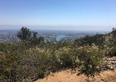
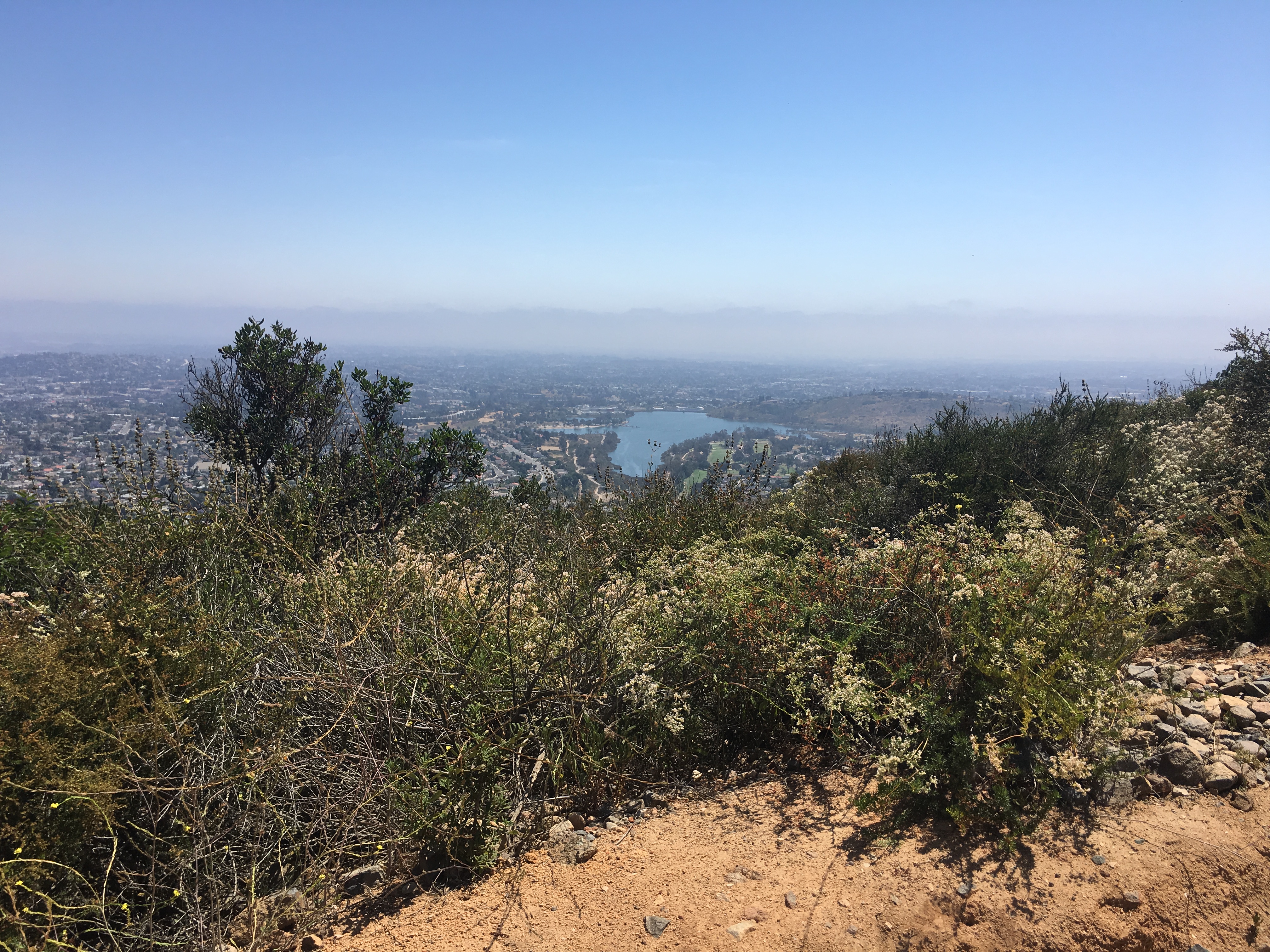
To your right great views facing west, and if you continue past the “steps” on your left you could venture on to the Pyles Peak trail section. Pyles ads another 1.5 miles or 3 round trip to the 3 mile round trip for a total of a 6 mile hike. I highly recommend venturing off to Pyles Peak, if not this day, on another, so you can get yet an added dimension, more miles and diverse scenery.

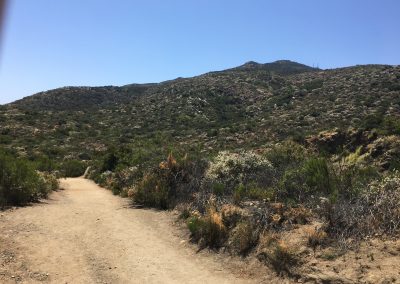
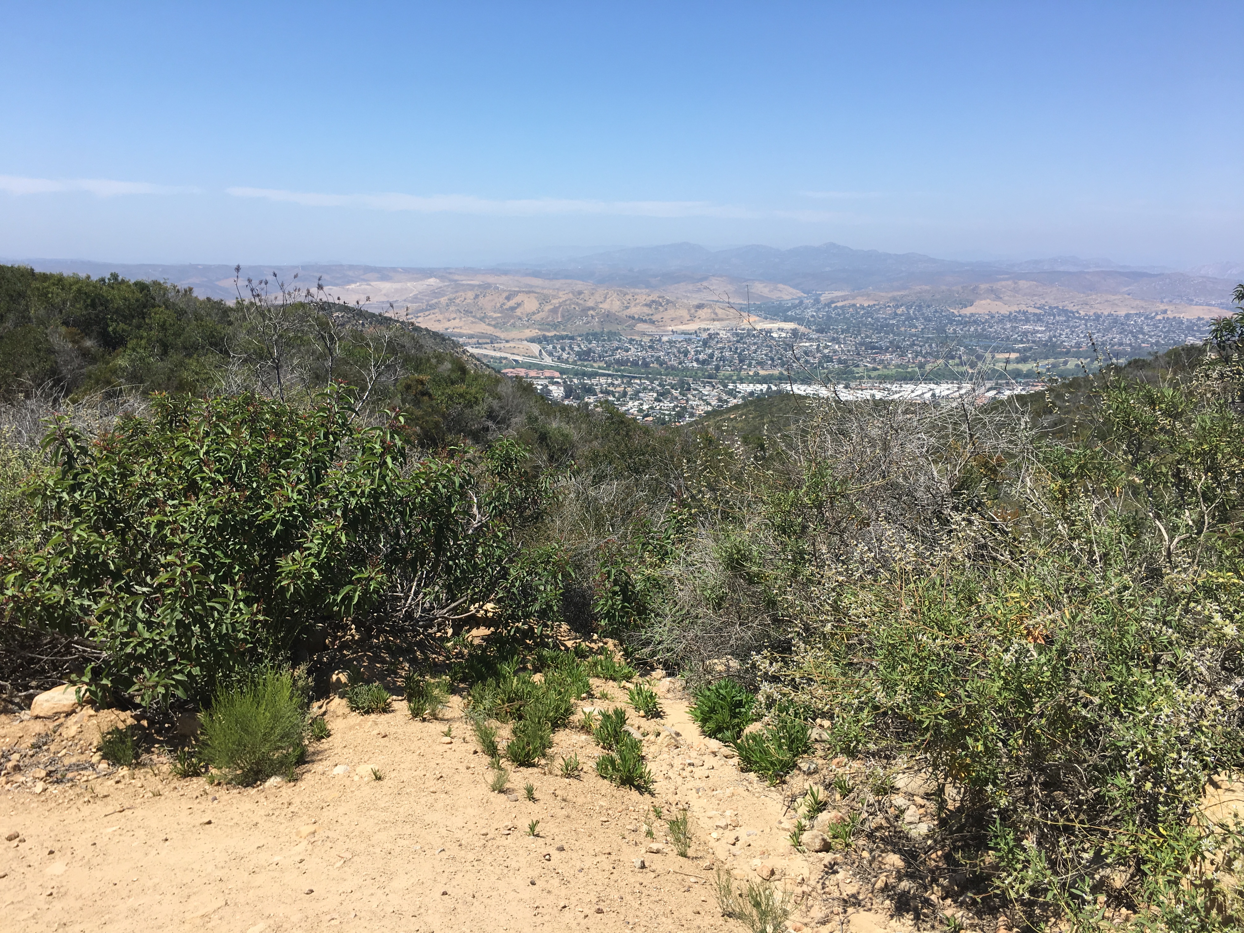
Near the Peak, last 1/4th mile to go Hiker Therapy
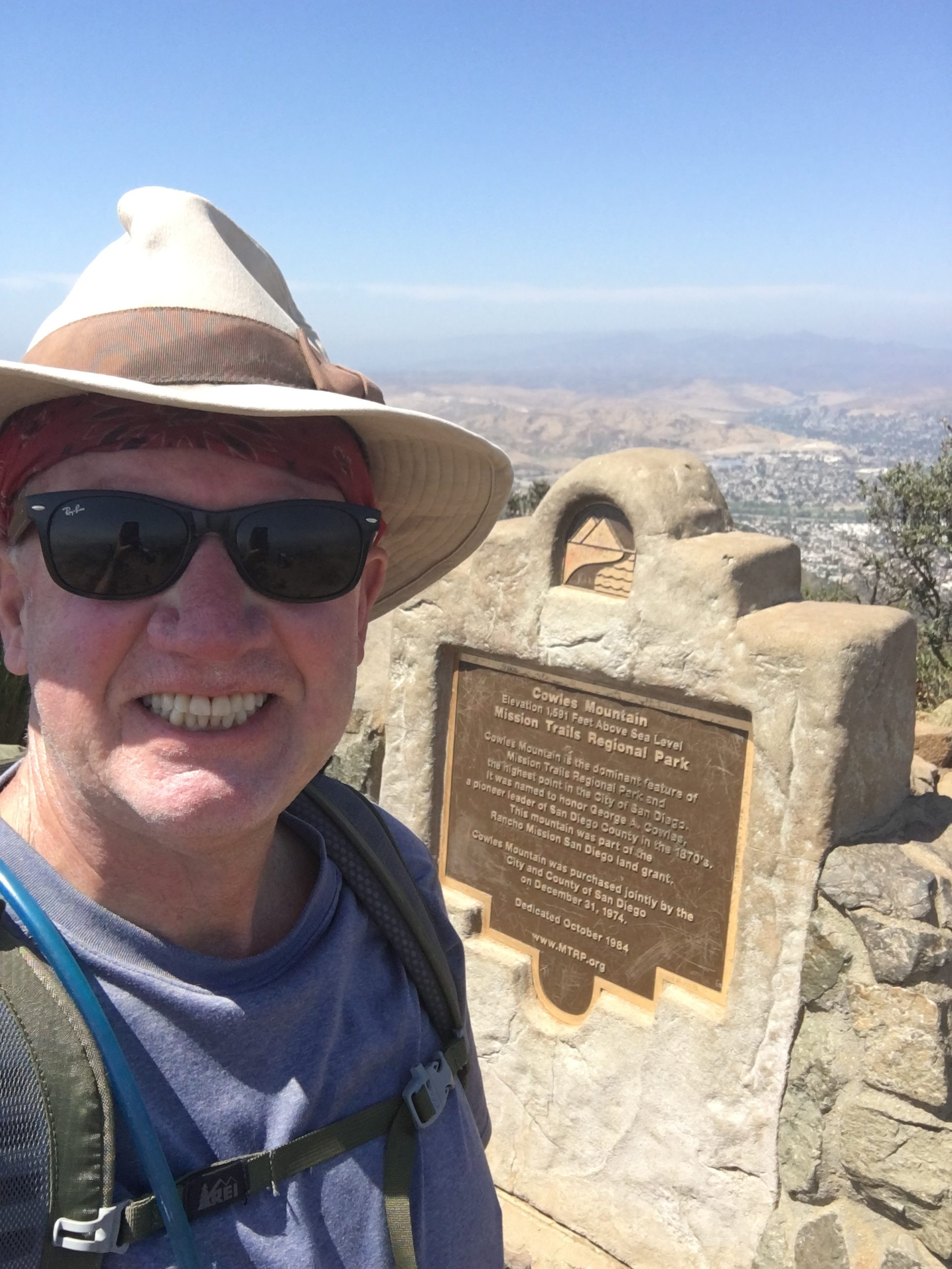
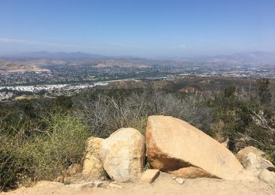
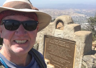
The “Monument” at the Peak of Cowles Mountain- Hiker Therapy
On this day I did take the steps on the left which leads you up to the final approach to the Peak and the famous Cowles Monument. Once Here, after you tap the monument of course, take your time enjoying the panoramic views of San Diego, Pt. Loma, Mexico and scanning east and the ominous Peak of El Cajon Mountain. Cowles is one of my favorite Peaks to be on as the 360 view of our county is more than impressive as well as at 1600’ this being the highest Peak in the City of San Diego. The trek to the top should take you about 45-60 minutes due to the continual ascending steepness of the trail. The descending return route is the same trail, for me the decent many times offers more of a challenge due to the slipperiness of the sand and the rockiness of the trail. Take your time, enjoy the views back and Hike on!
Cowles Mountain Barker Way Gallery
-
-
-
-
-
-
"S" Section
-
-
-
-
-
-

-
Near the Peak, last 1/8yth mile to go
-
The "Monument" at the Peak
-


I prefer the Barker Way start doing either this trail or the Barker Way trail up to the Peak. It is less traveled than the Golfcrest trailhead and in my opinion offers more scenic views, a quieter environment and more of a challenge. As always, bring more than you need water, a snack, know your limits, if hiking with another, which is always my suggestion, respect your partner’s limits as well.
Be safe and hike on!