Distance: 7.45 mi Time: 03:56:13 mins Steps: 15,151 Elevation Gain: 710ft
Water: 1.5 L Snacks: Orange, Pro bar, hard boiled egg
For a hike that covers a lot of diverse trail, assorted vegetation, gorgeous views and beautiful scenery then the Pyles Peak via Cowles Mountain Service Rd, Barker Way Trailhead is the hike for you. Not to mention you bag 2 peaks in one hike. In the Mission Trails Hiking system Pyles and Cowles are 2 of the 5 hikes to bag. The other 3 being both Fortunas, North and South as well as Kwaay Paay.
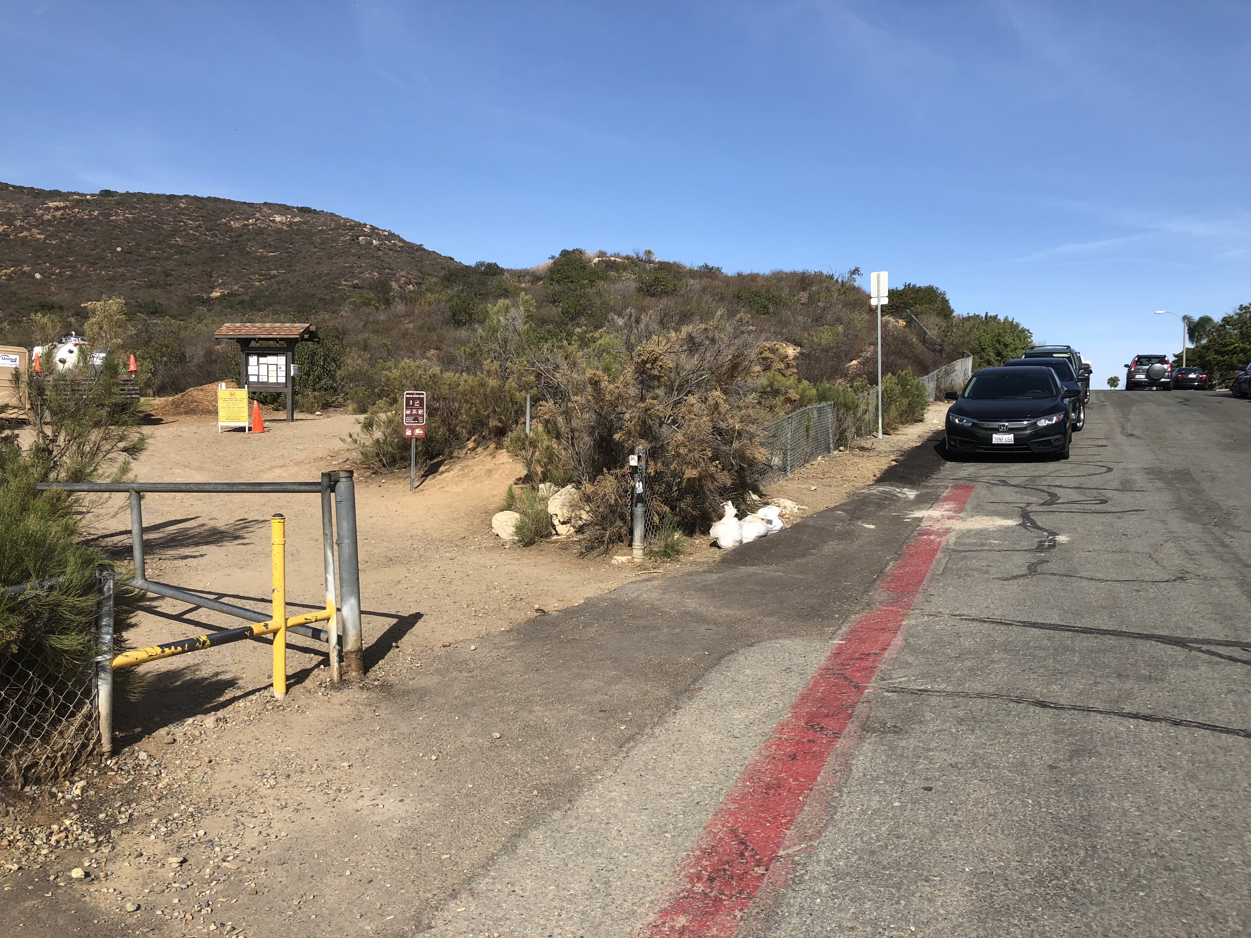
Barker Way to Cowles Mountain Service Road
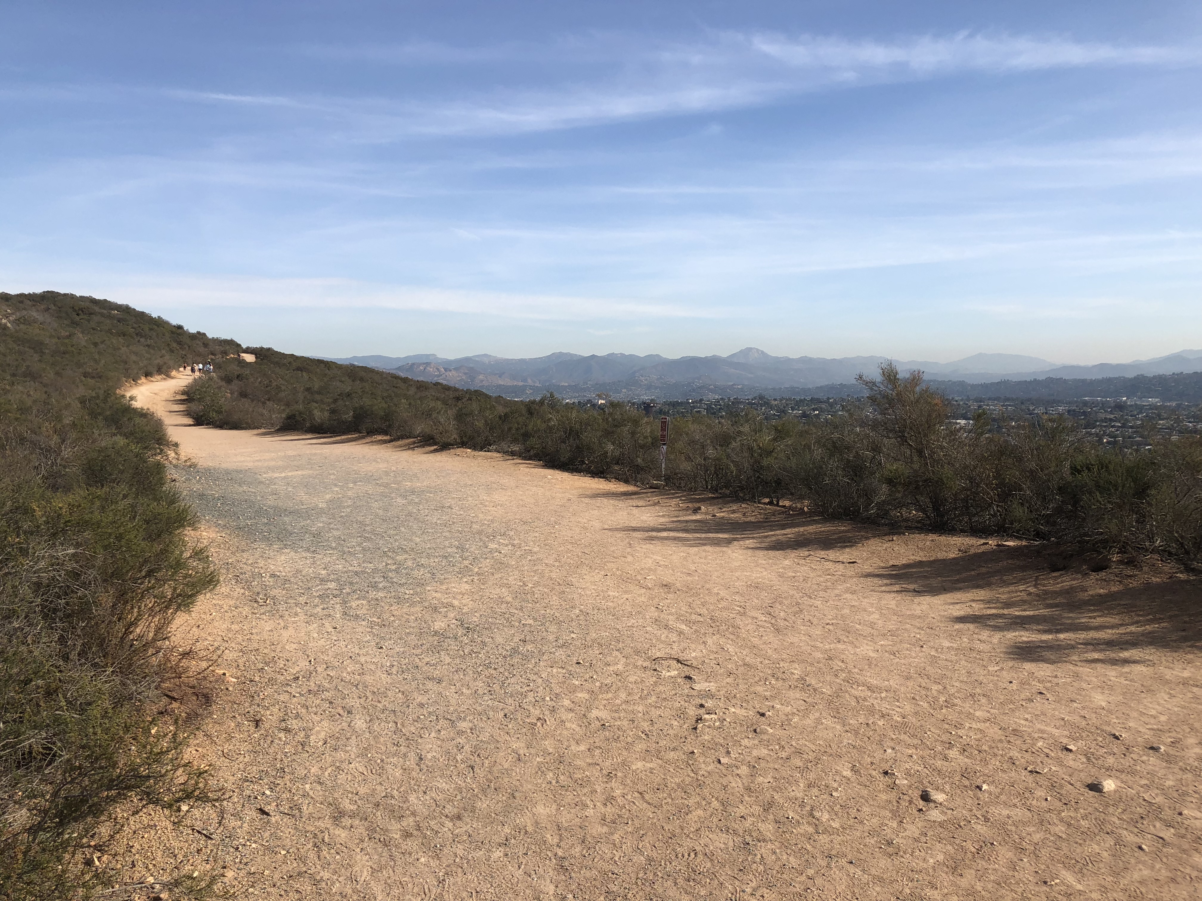
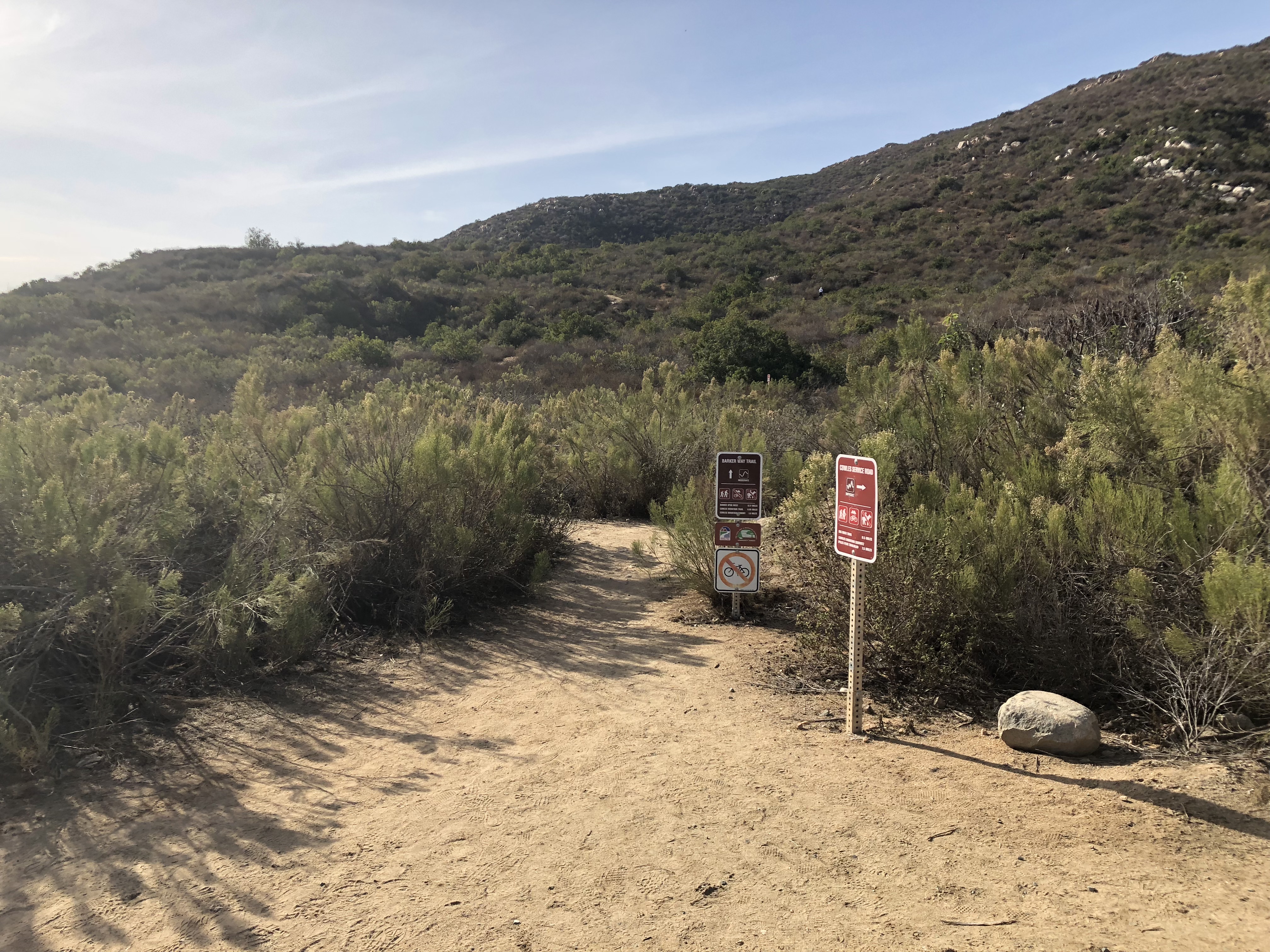
The trailhead for this hike starts at Barker Way In Santee, CA. I like this start due to its less populated trailhead and easier parking. There are also restrooms here for convenience. The trail start is flat, sandy and wide. After 100 yards you will come to a sign that points you left and up towards Cowles, do not go left, continue on the trail as it veers right and up and on your way to the top of Cowles. The trail here starts to climb to the 3/4 mile, then plateaus for awhile then climbs the entire way.
Cowles Mountain Hiker Therapy
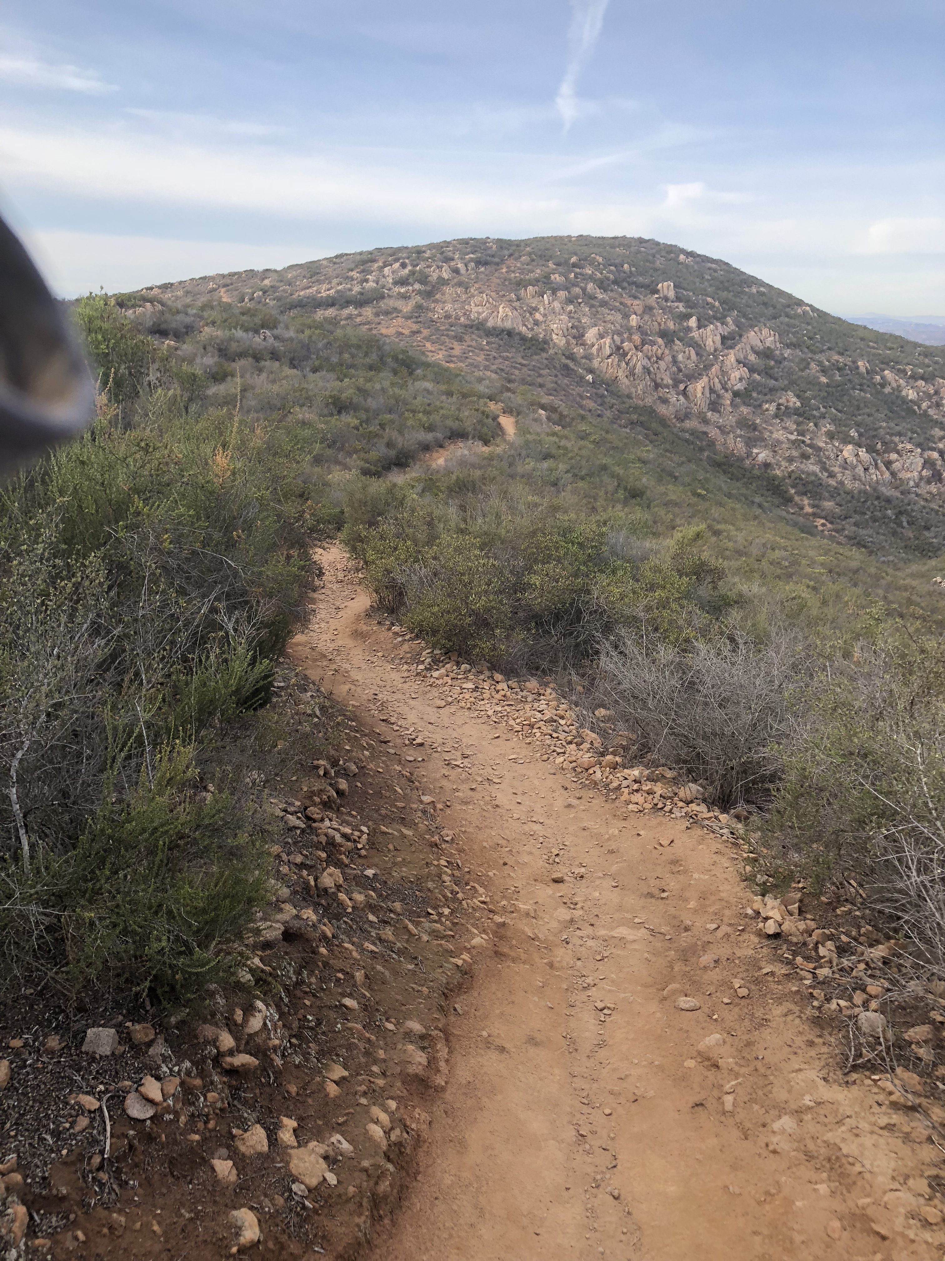
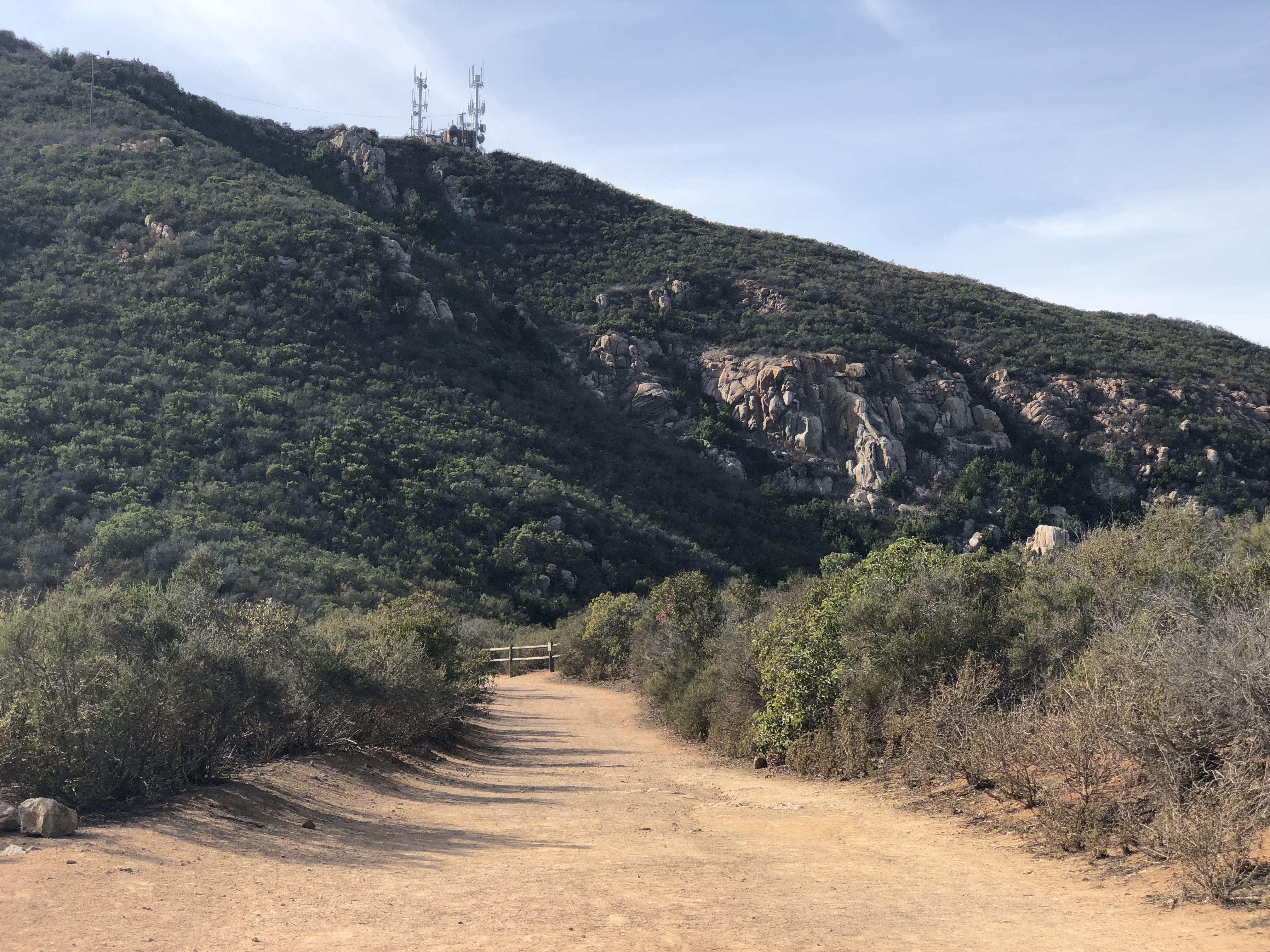
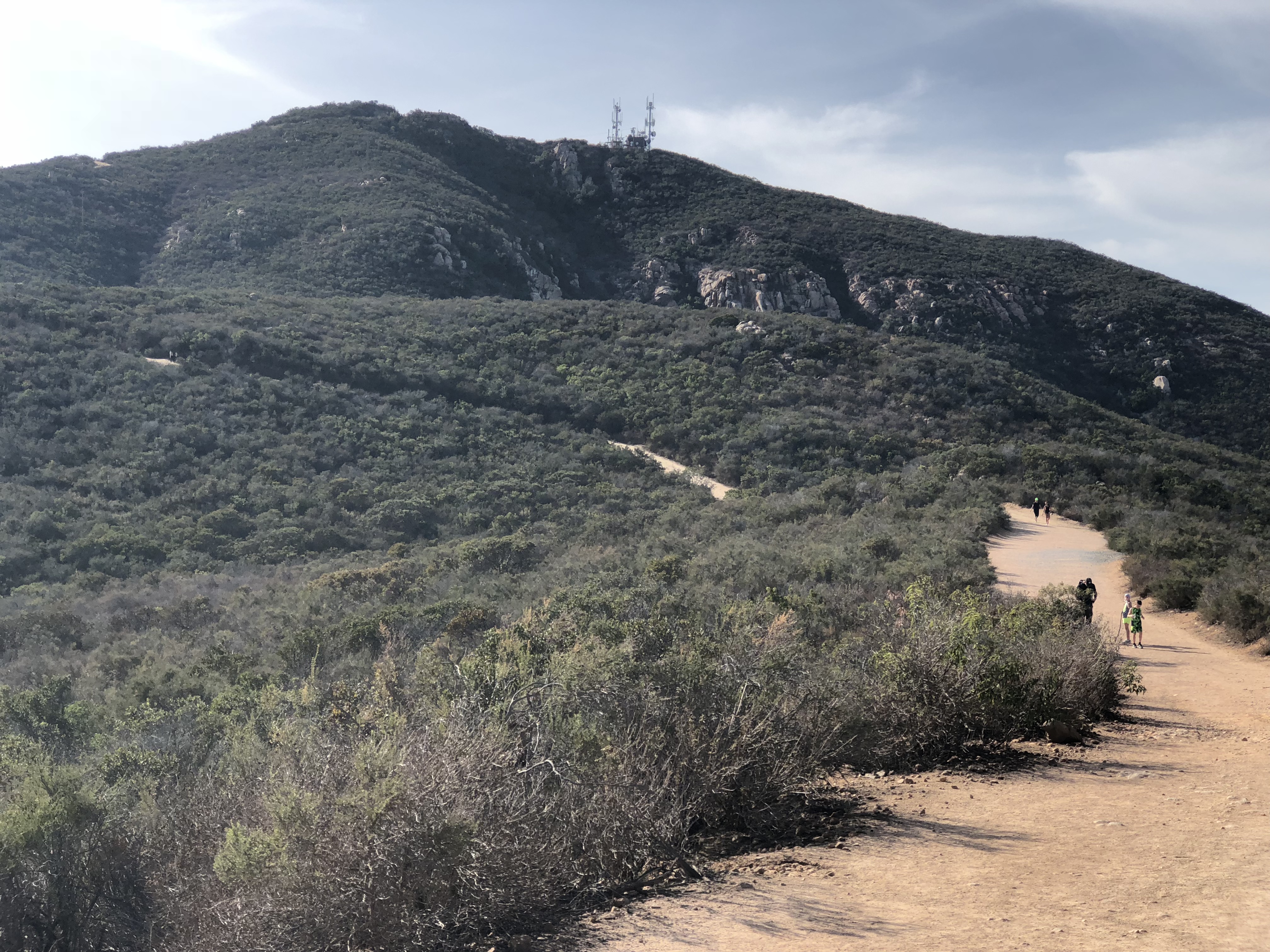
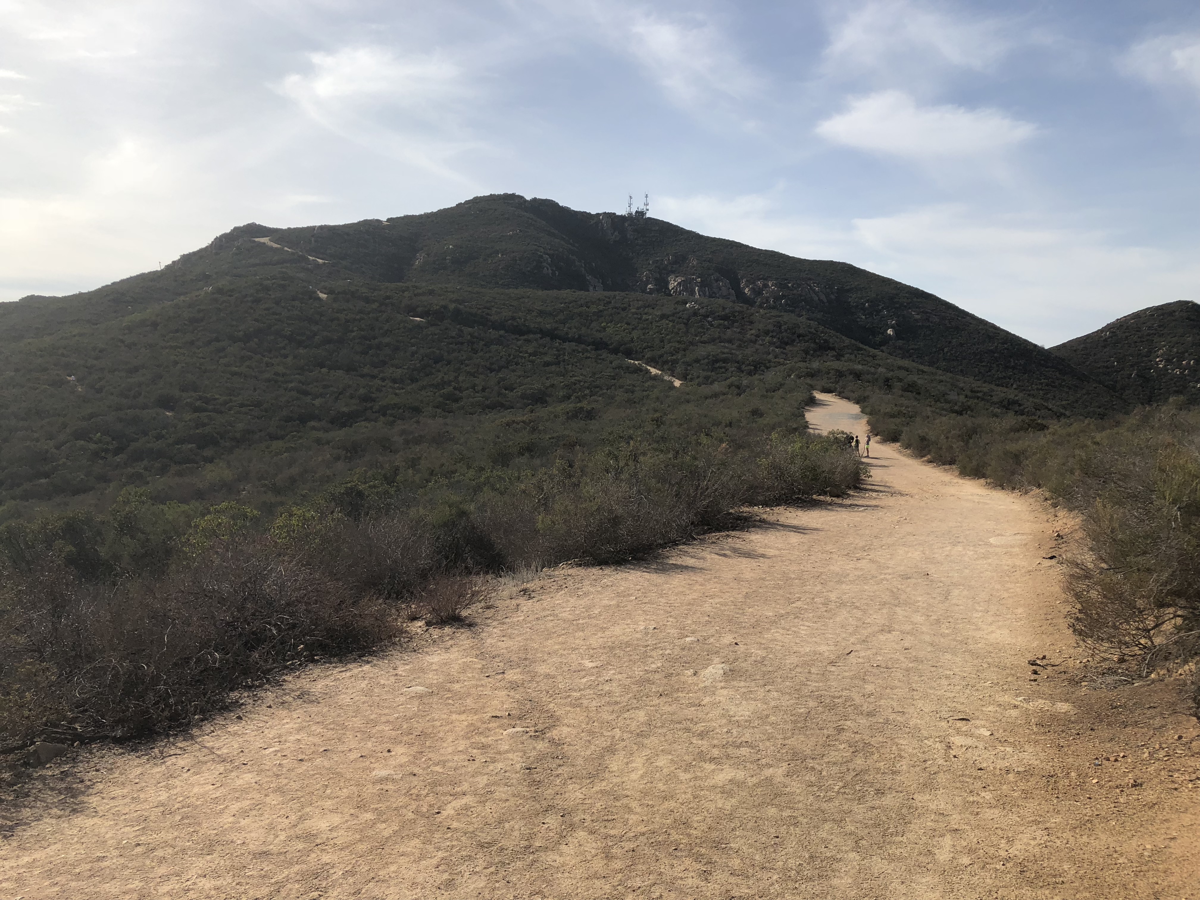
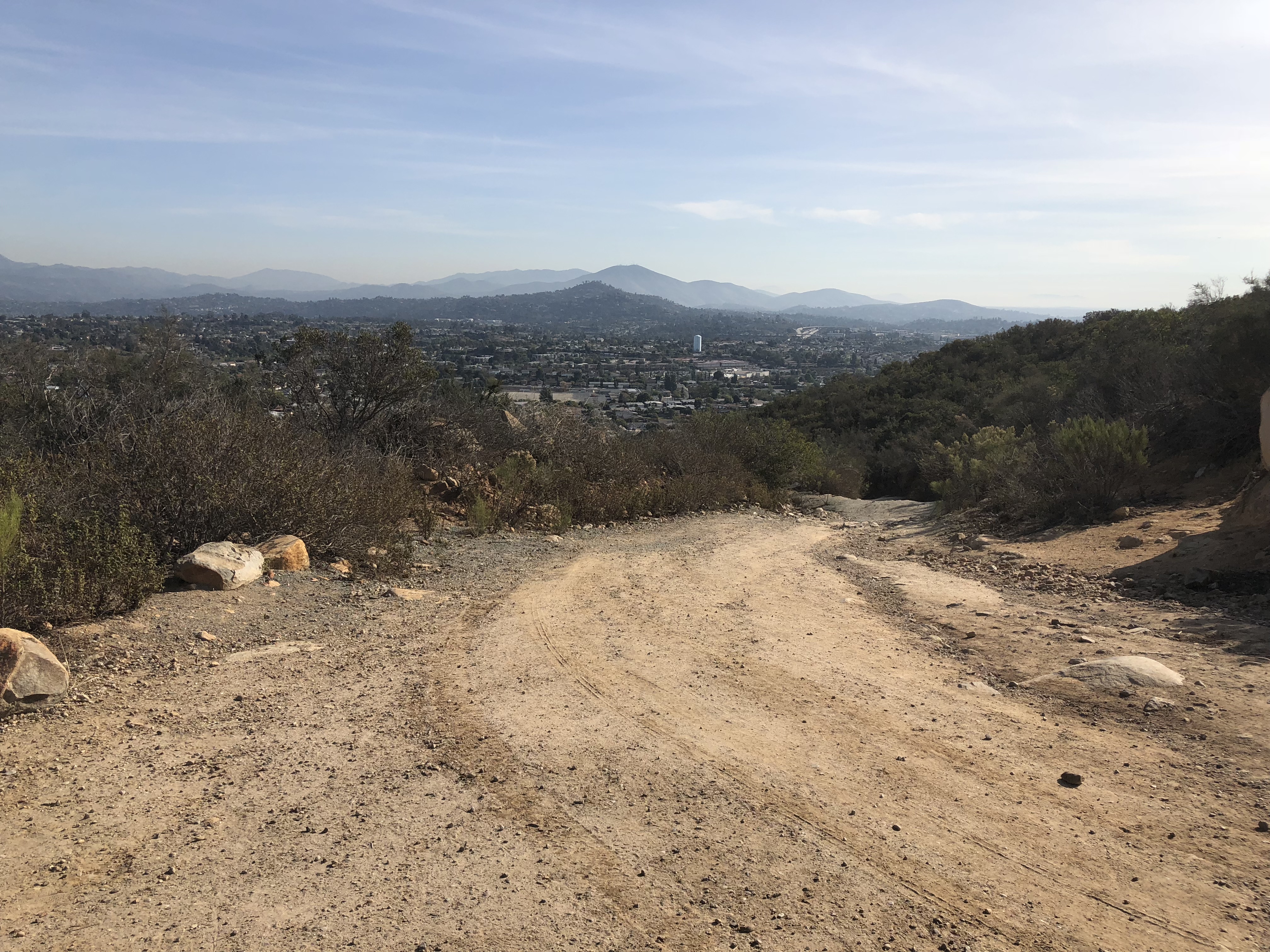
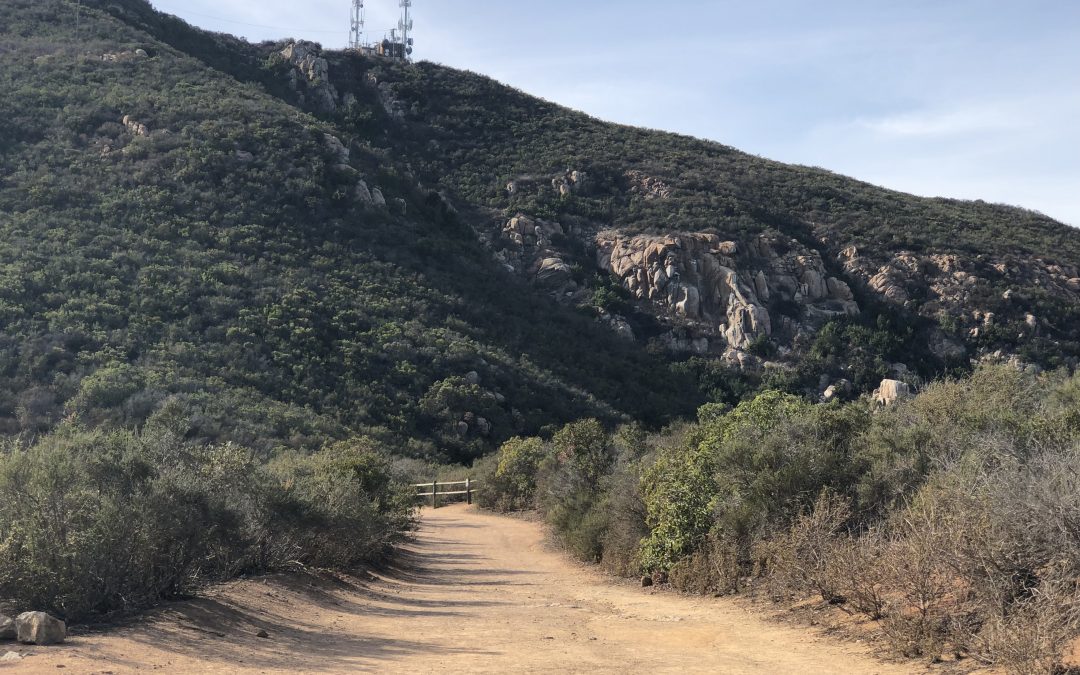
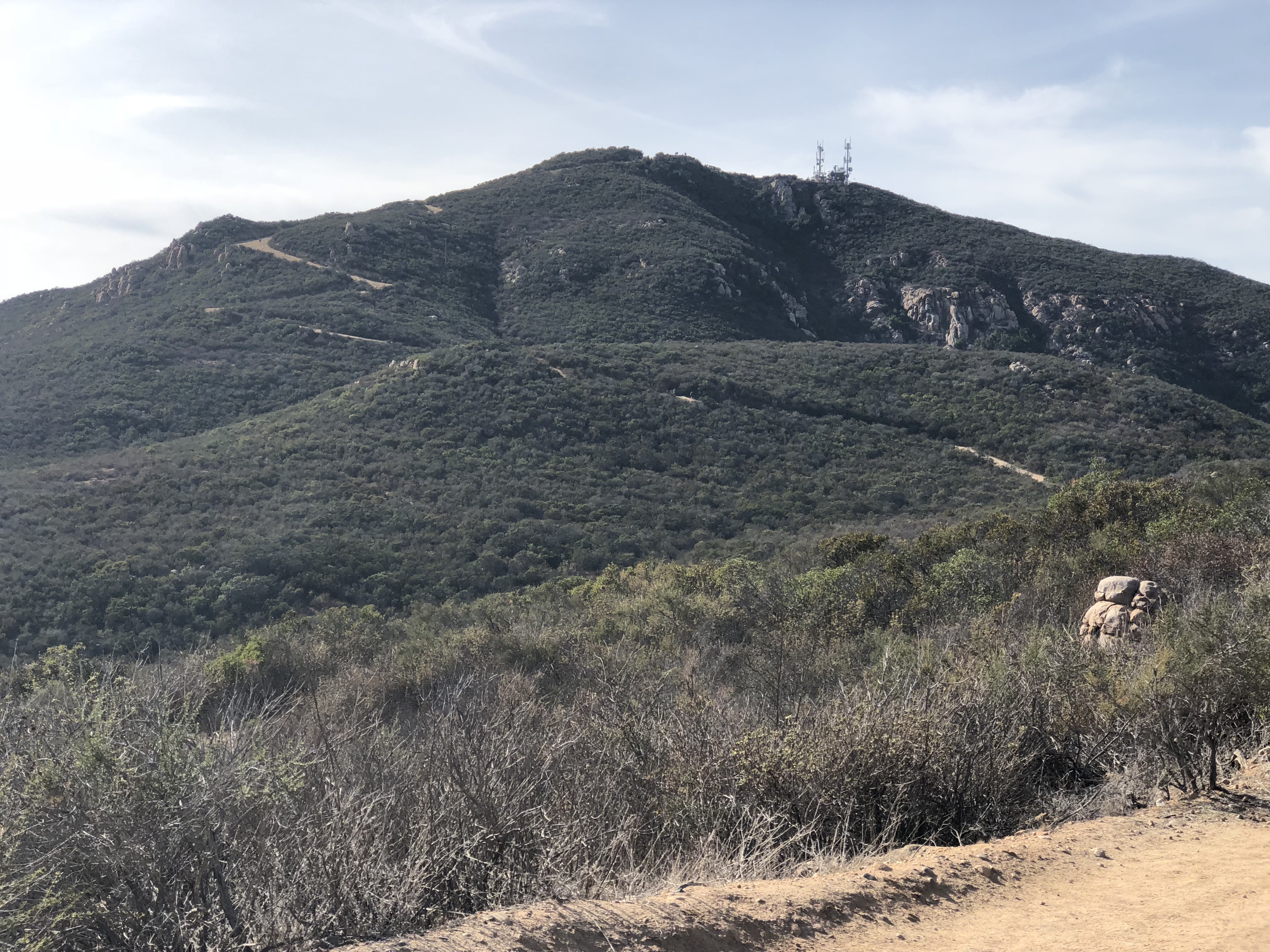
As you plateau at about the .75 mile mark you will look up and catch a glimpse of Cowles, the radio towers, and the trail will “snake” up the mountain to form an “S” pattern. From here to the Peak of Cowles the trail is rocky, and the steep ascent becomes more challenging and strenuous. Although you will see others along the way, compared to the more traditional Golfcrest and Navajo Rd trail, this section of trail in the Colwes system is the less traveled, quite and the most challenging of all the trails up. As you near the Peak of Cowles the trail will steepen dramatically the last 50 yards and then veer left. As you make the gradual left sweep, straight ahead you will see a sign marking the start to the trail over to Pyles.
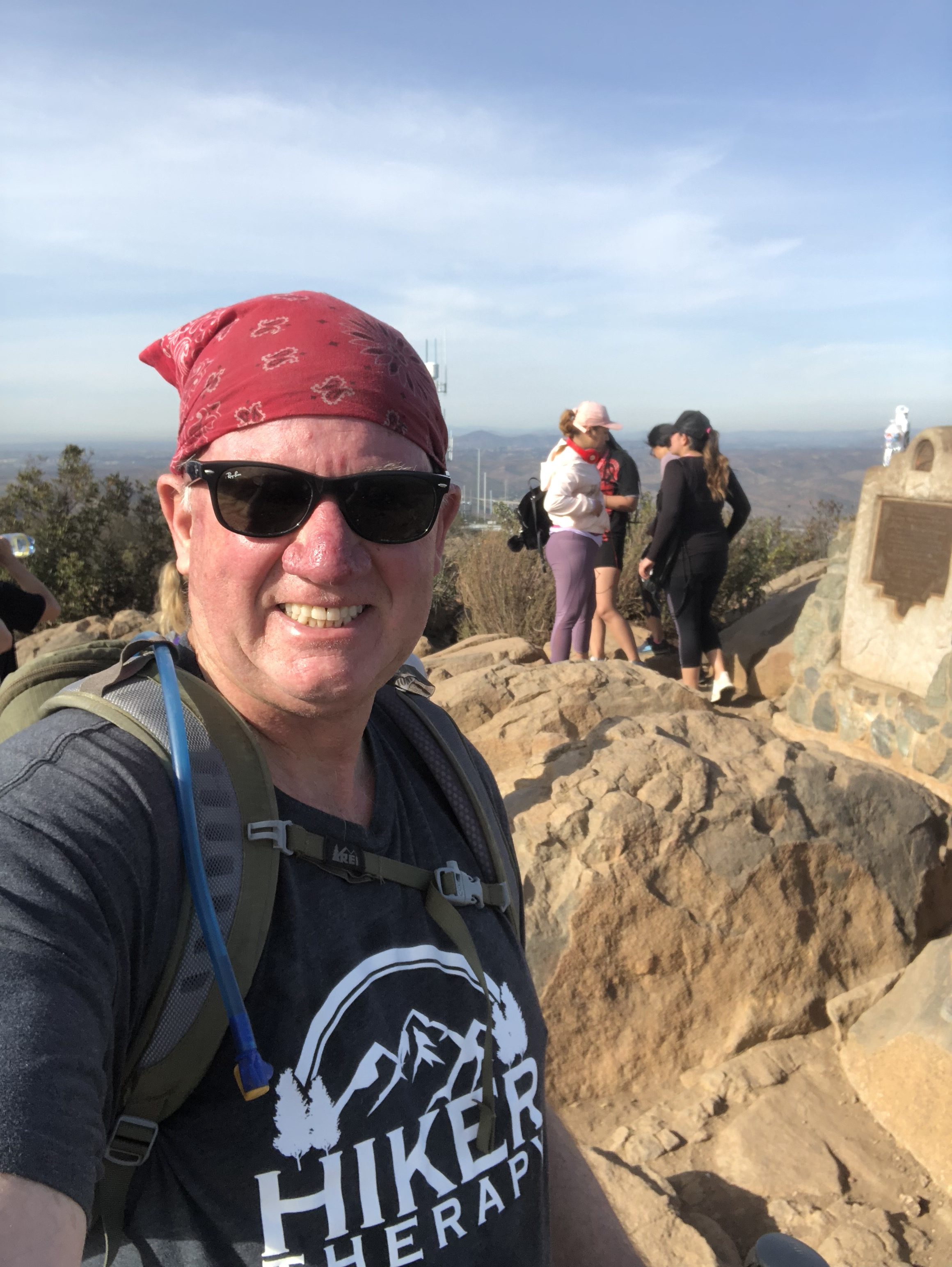
Cowles Mountain Summit Hiker Therapy
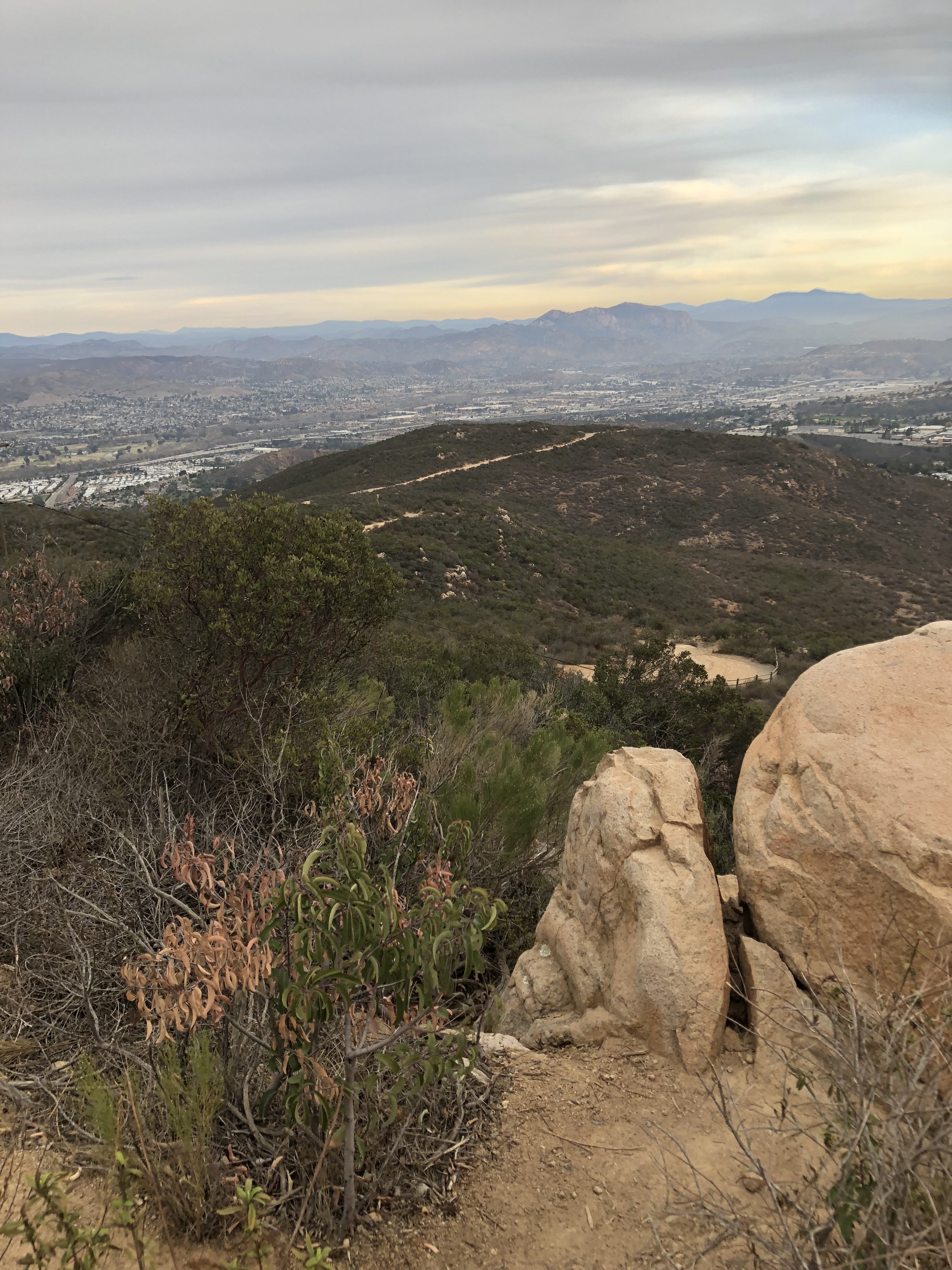
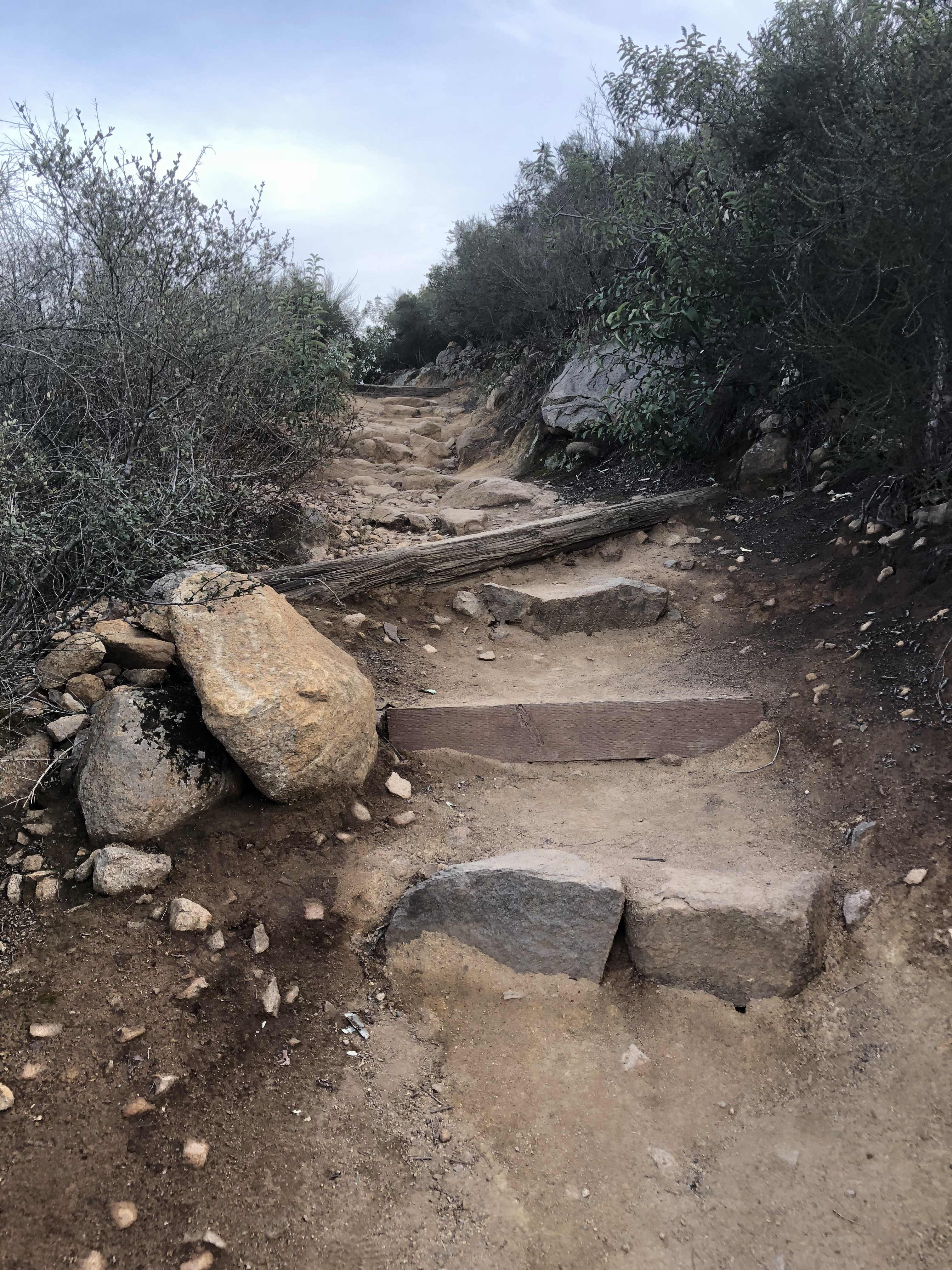
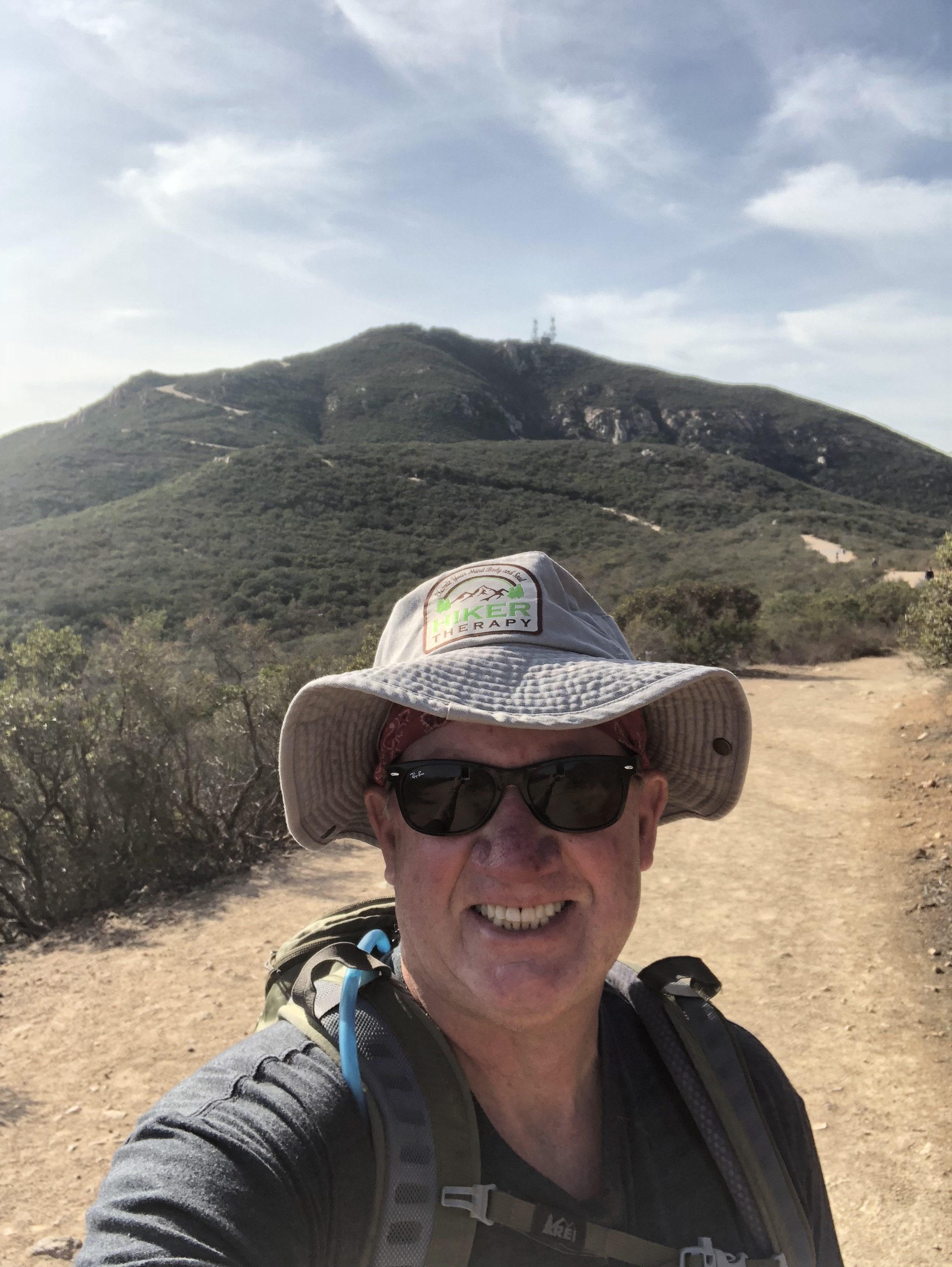
However, as you hike along you will see a set of wooden steps and as you do, make a left to get up to the rocky section of the Peak of Cowles and the path up to the monument. I always love the views from Cowles. Looking North east you see East County and El Cajon Mountain, looking South you can see Mexico, to the Southwest Pt. Loma and looking direct west some of the other peaks in our county including Iron Mountain, Mt Woodson, Black Mountain and on a very clear day the Pacific Ocean. At this point you will have climbed approximately 1.6 miles. I walked around a bit at the peak and added another .4 mile. You can directly see Pyles Peak, looking West from the summit of Cowles.
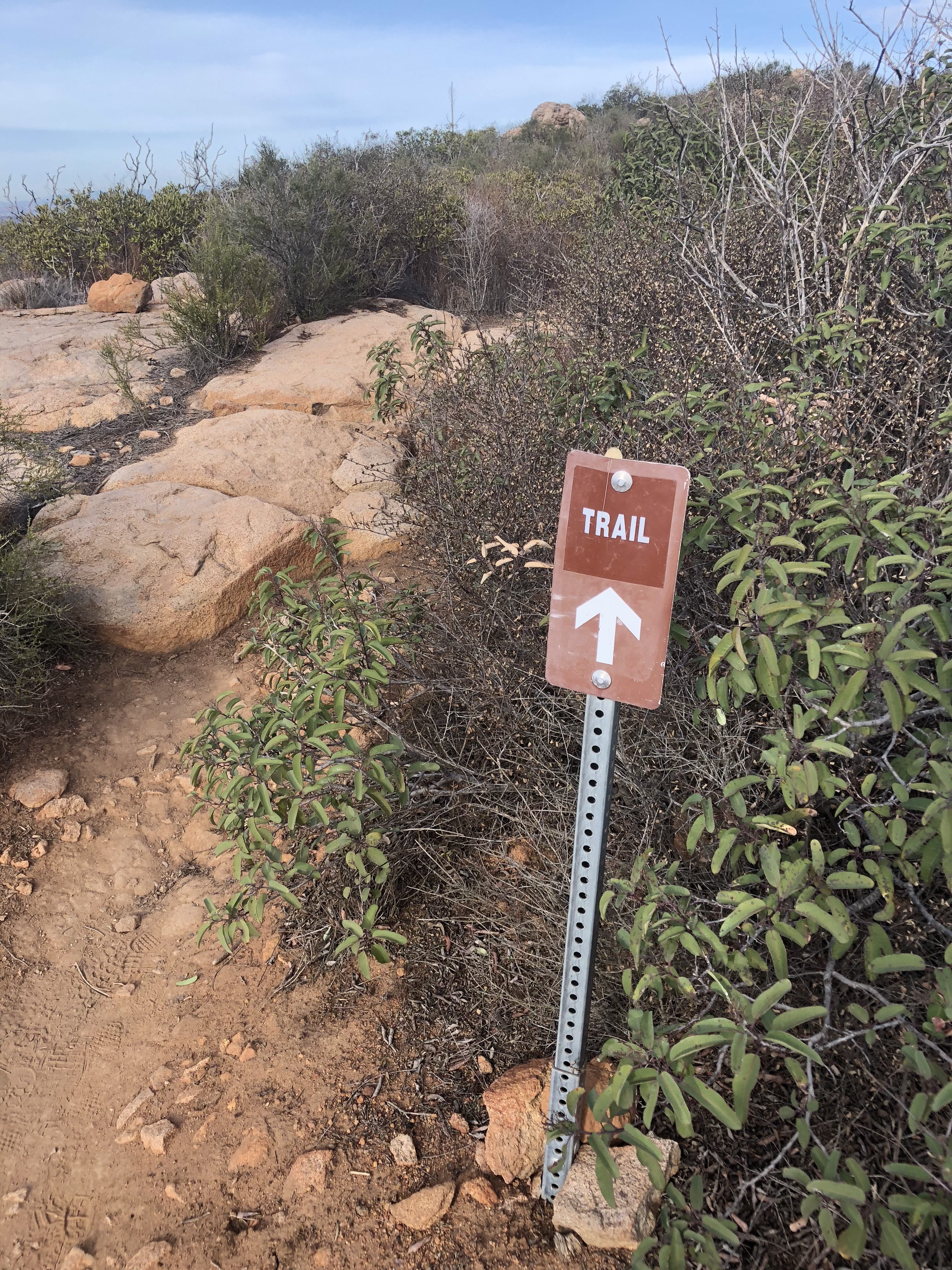
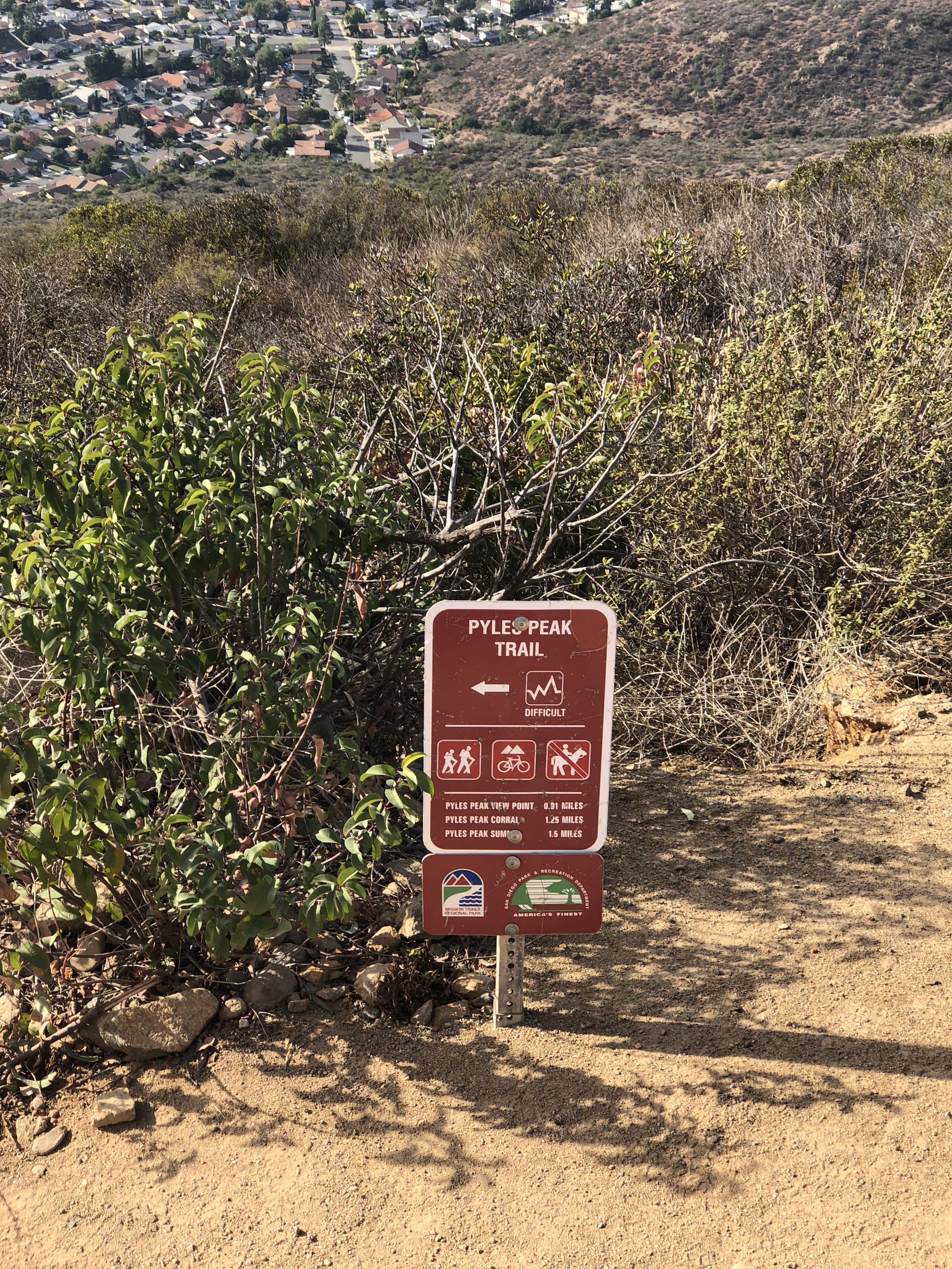
Start of Pyles Peak Trail Hiker Therapy
Sign leading the way to Pyles Peak from Cowles Summit Hiker Therapy
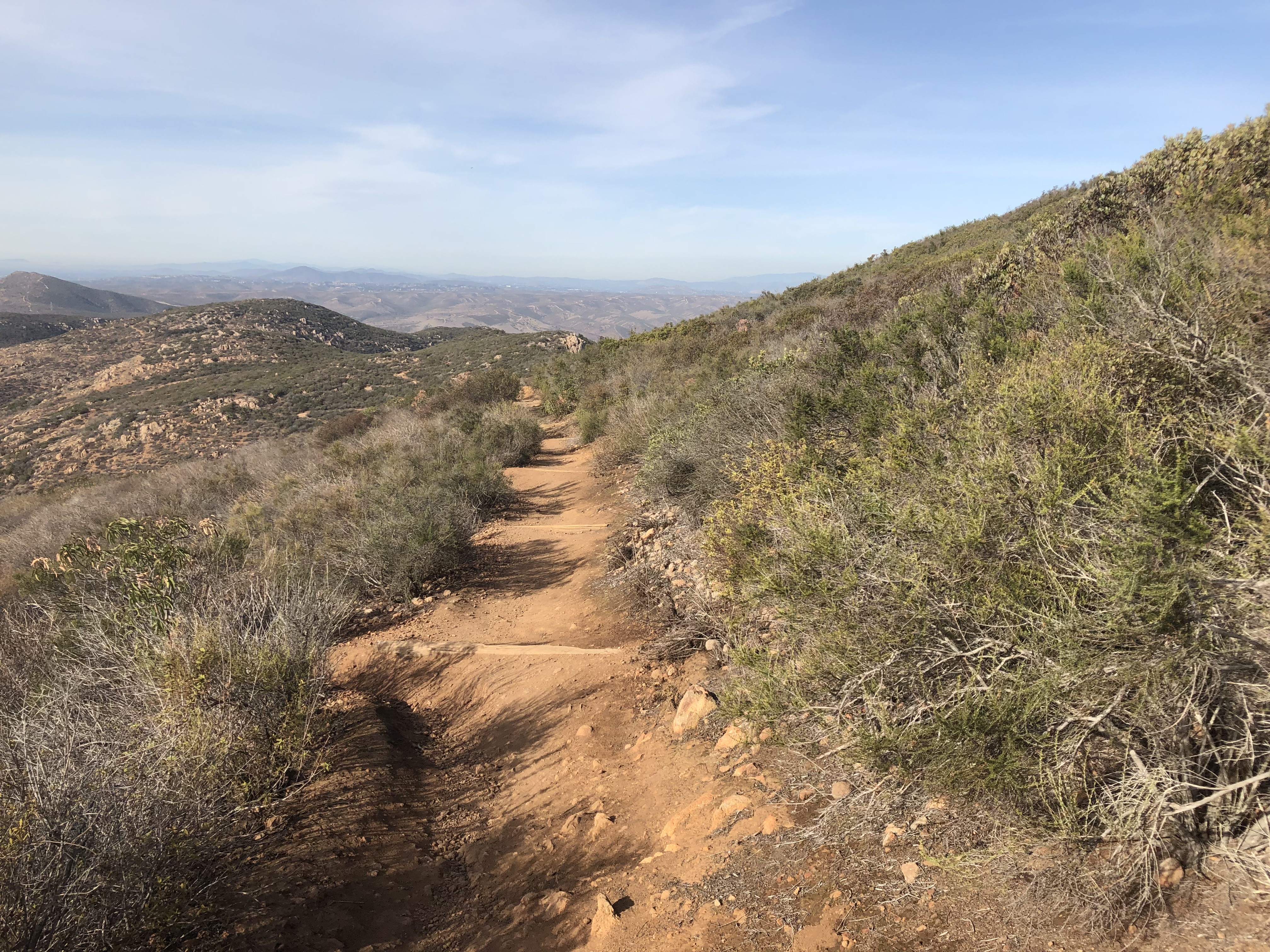
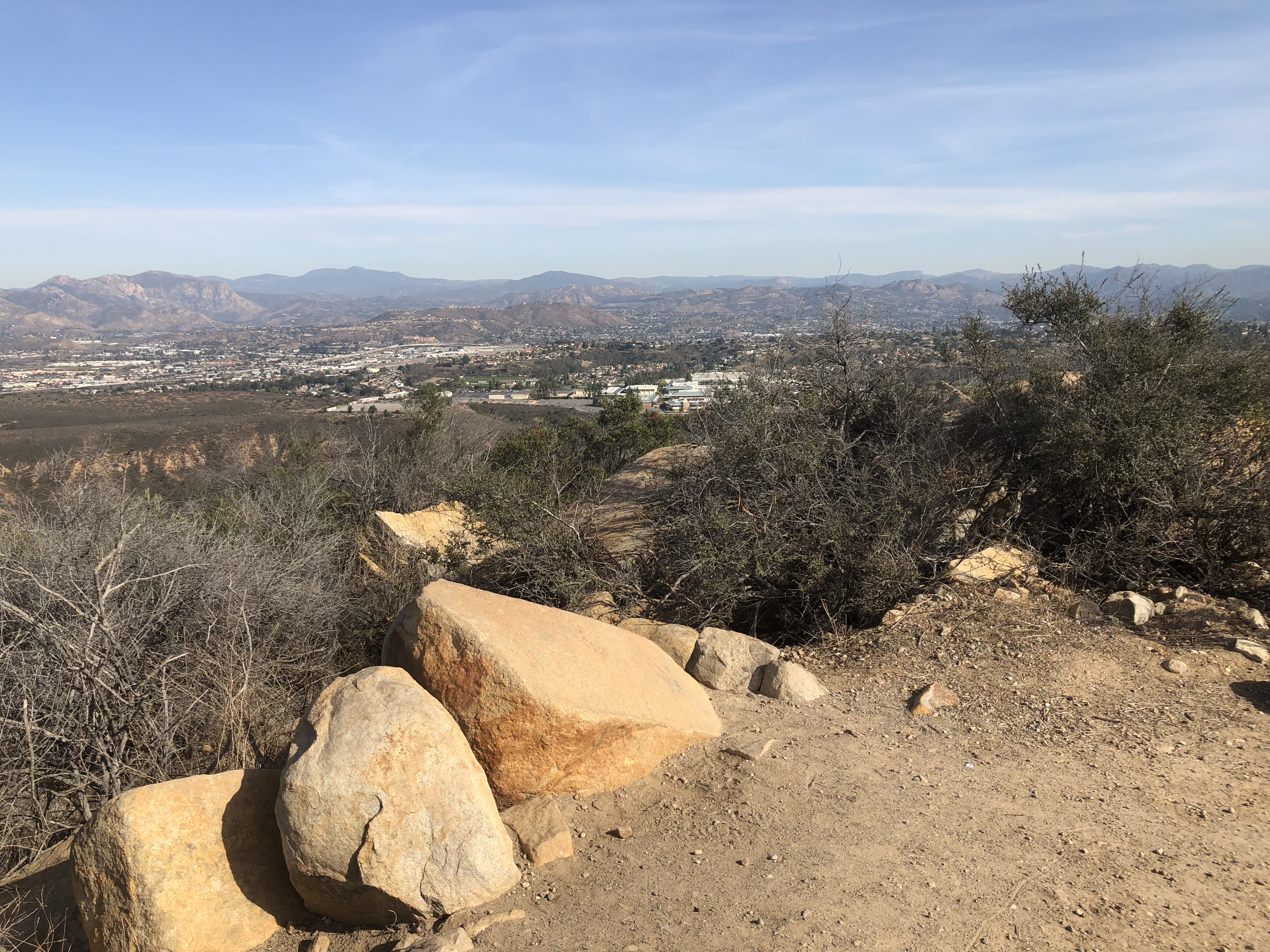
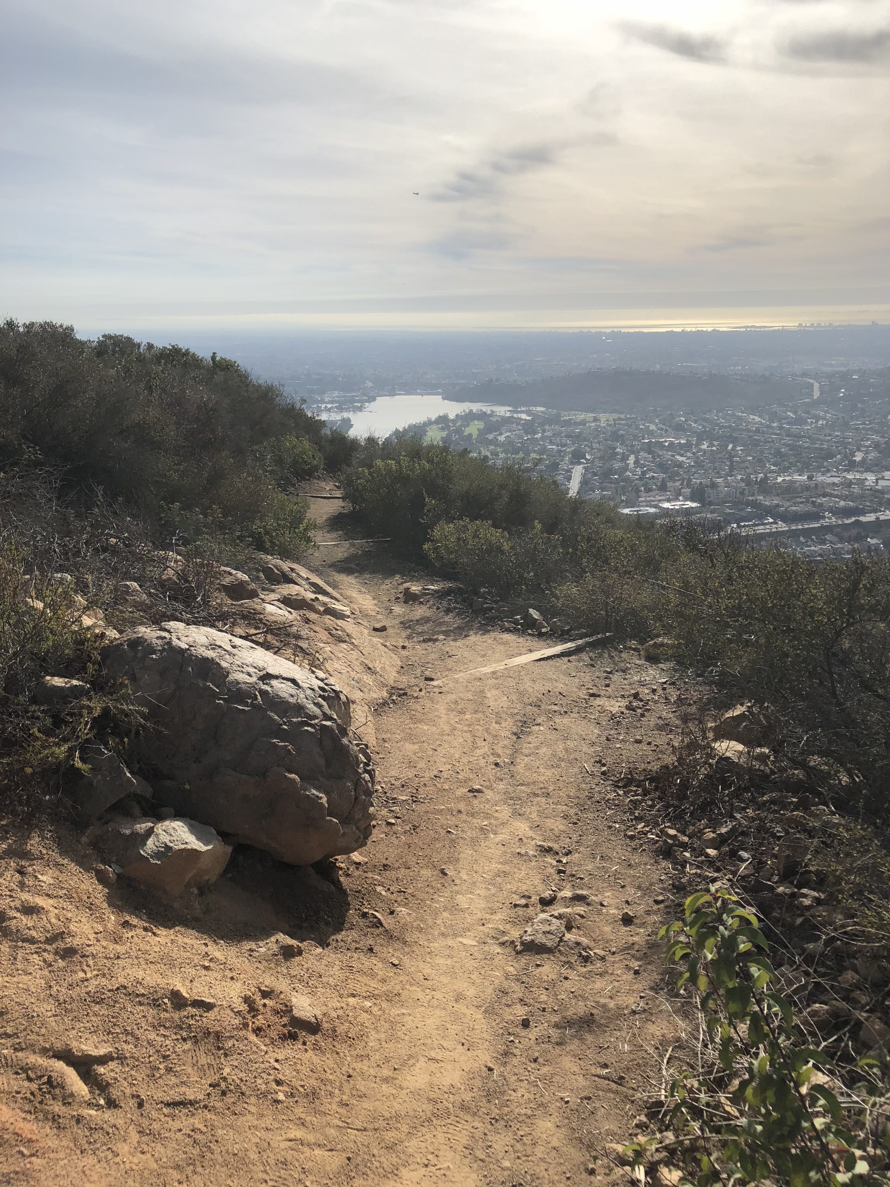
Retracing your steps you will head back down the same stairs you came up on, turn left and head to the marker sign that points you to the trailhead of Pyles Peak. Veering left here you will walk straight into a great view of Santee Lake and a row of greenery. The trail sharp turns right and starts the descent to Pyle peak. The interesting part of this hike is that since Cowles elevation is at 1600” and Pyles is at 1300’, you are spending most of this trail over to Pyles descending and winding in a broad loop to the final ascent back up to Pyles. The ascent to Pyles is the most difficult section of this hike and a very uneven rocky trail. The wide expanses out between Cowles and Pyles are beautiful and quiet. The journey over adds another 1.5 miles to your hike, give or take a few steps.

Trail over to Pyles Peak from Cowles Mountain Summit Hiker Therapy
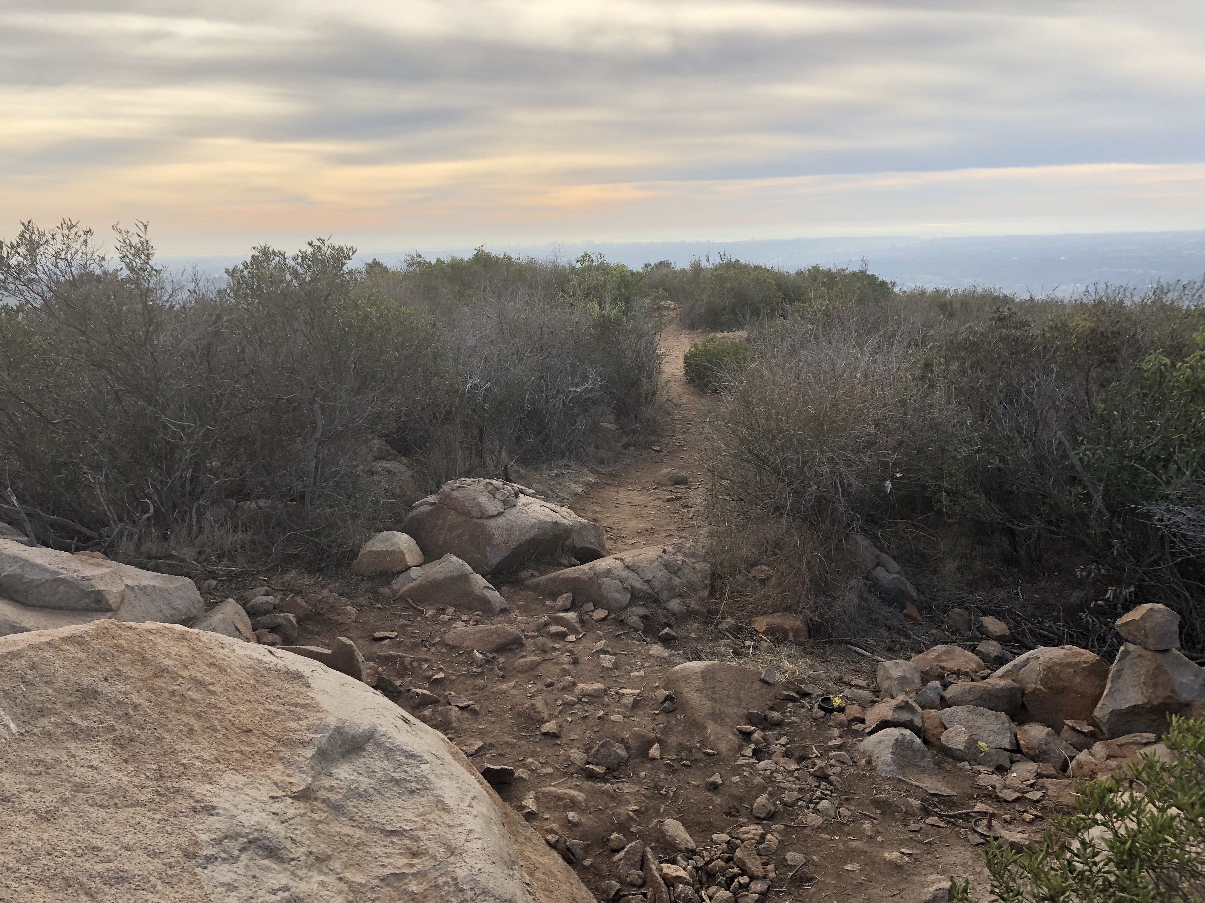
The trail dips and bends on its descent into a flat section that takes you to the junction of the ascent up to Pyles Peak and the Cowles Mt. trail. This time of year the vegetation was somewhat green, not yet flowering. Ive done this hike in March and the flowers on the vegetation are popping then. The vast majority of those who hike Cowles do not continue on to Pyles, which is both a huge plus and a small minus. The minus being there is little contact with others on this trail so its best advised to hike with a partner in case of mishap of injury. Much of the trail is even, sandy, hard packed clay with section of rocky trail, especially on your final ascent up to the Peak of Pyles.
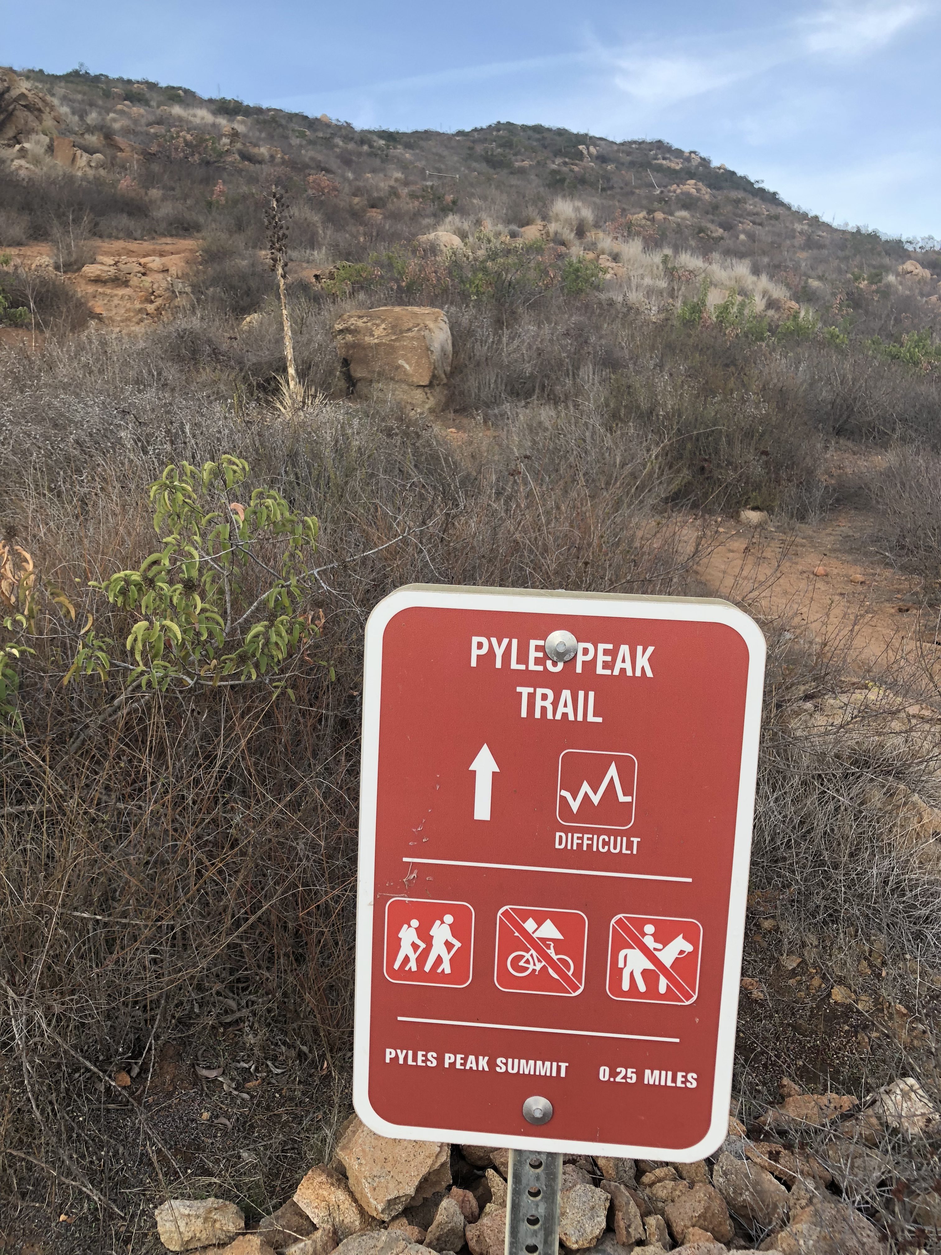
Climb up to Pyles Peak Summit Hiker Therapy
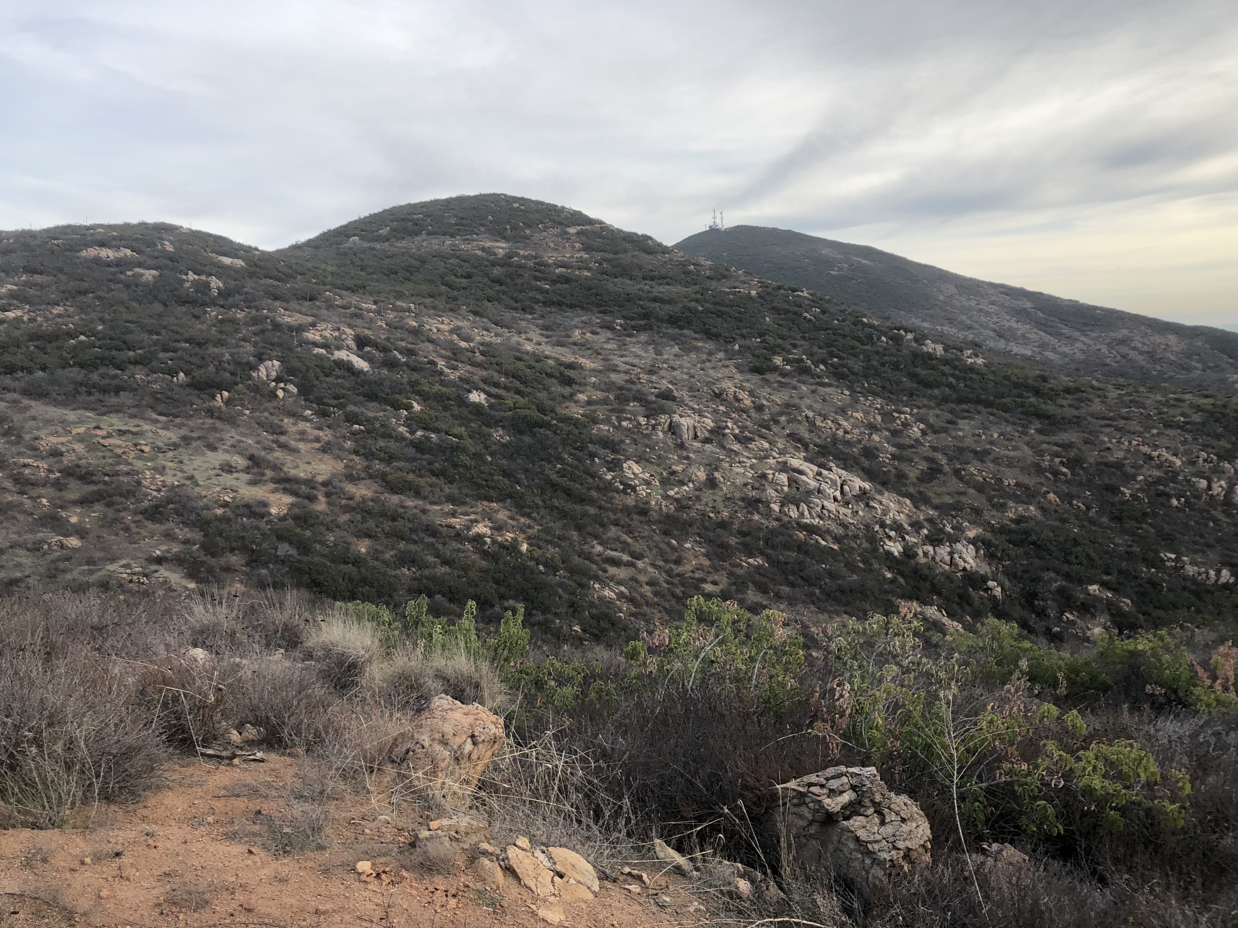
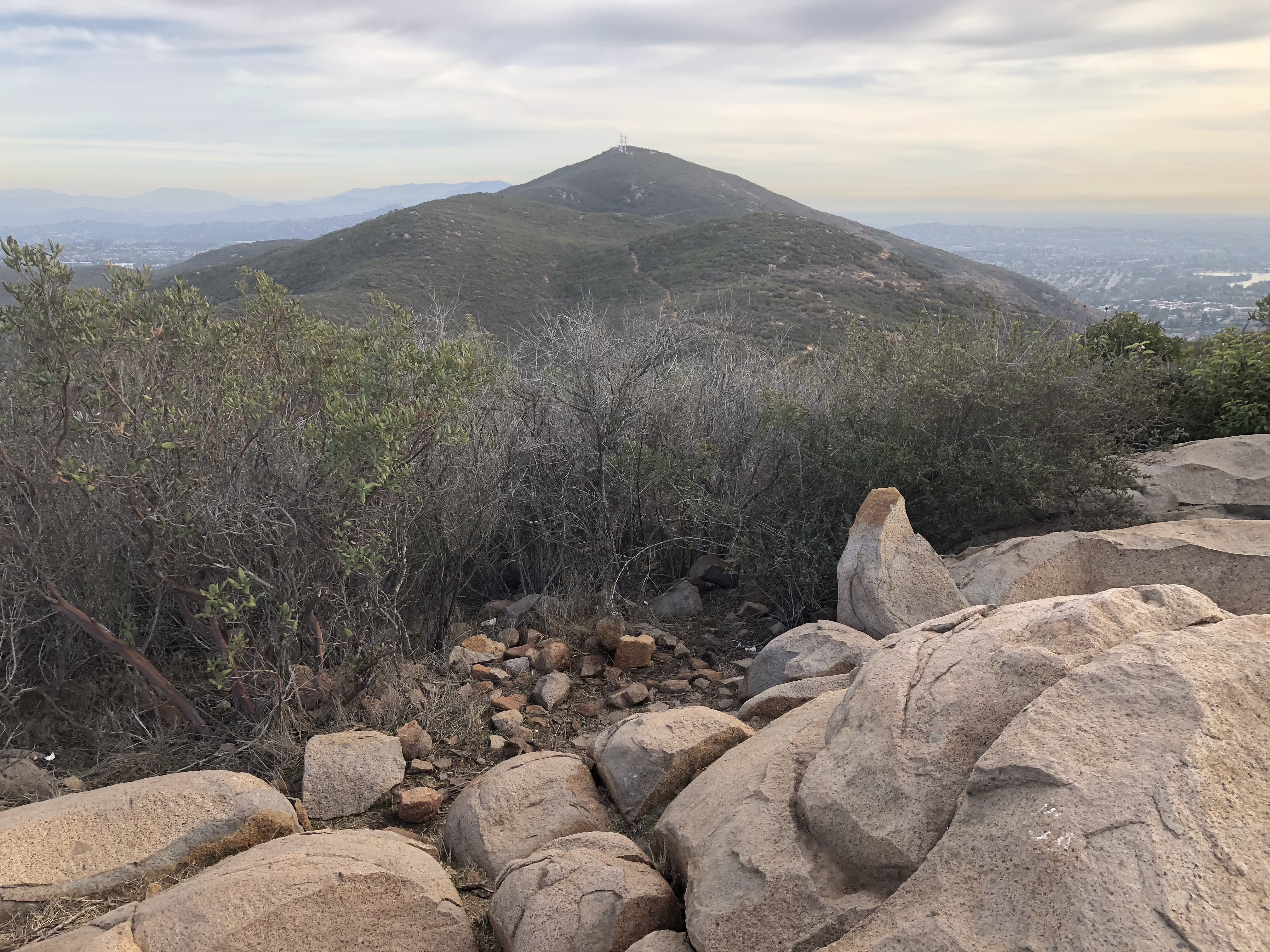
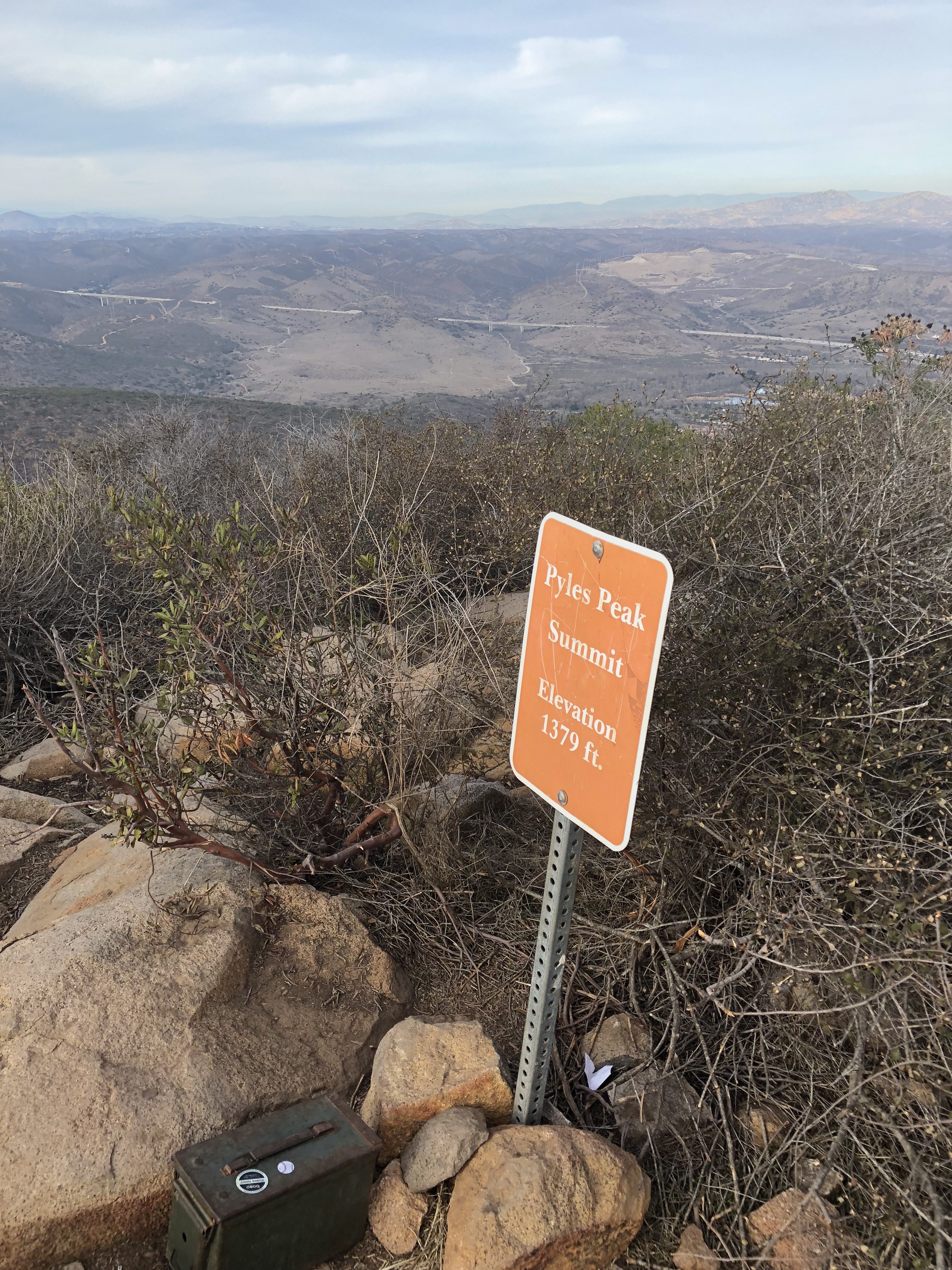
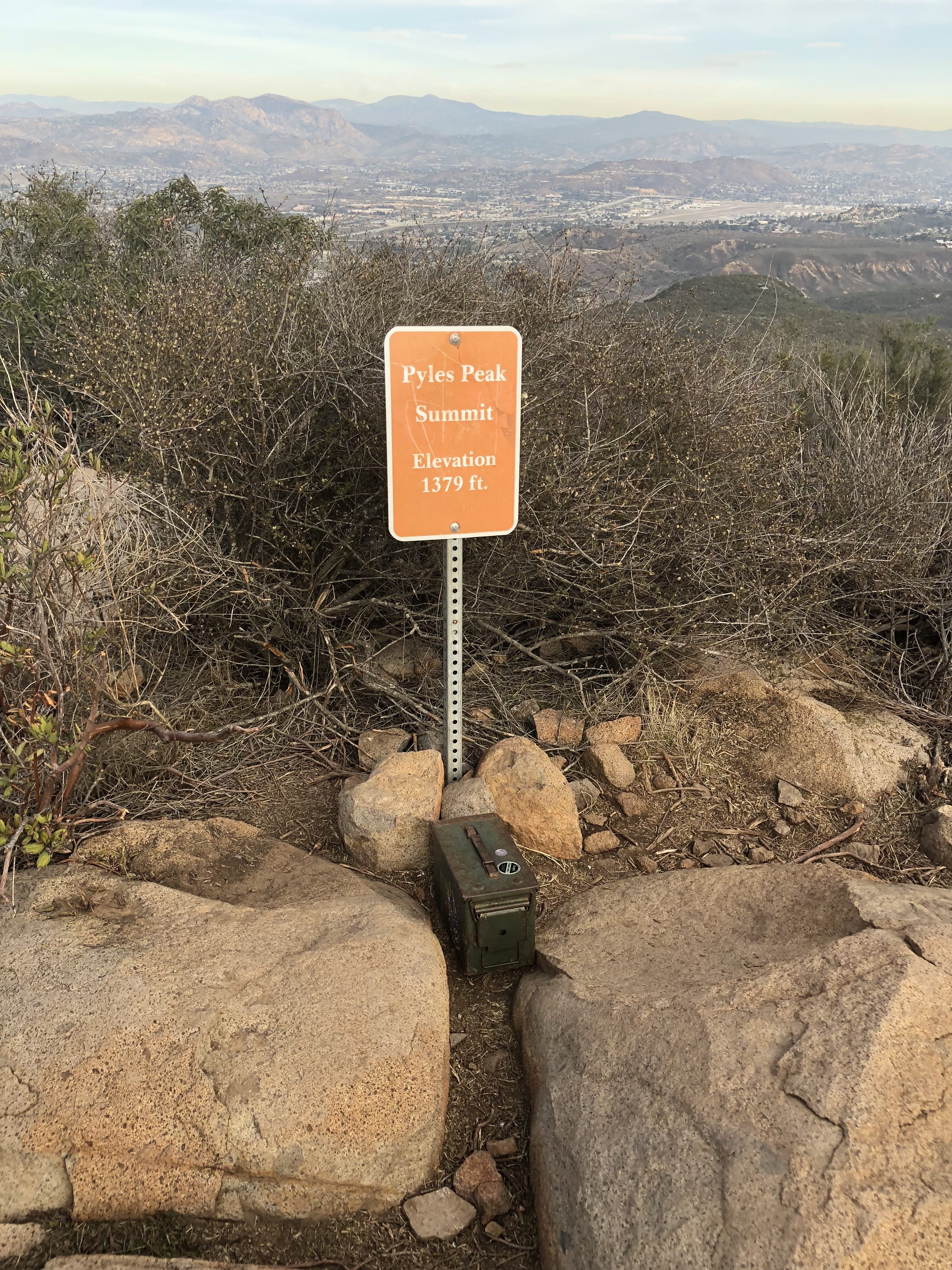
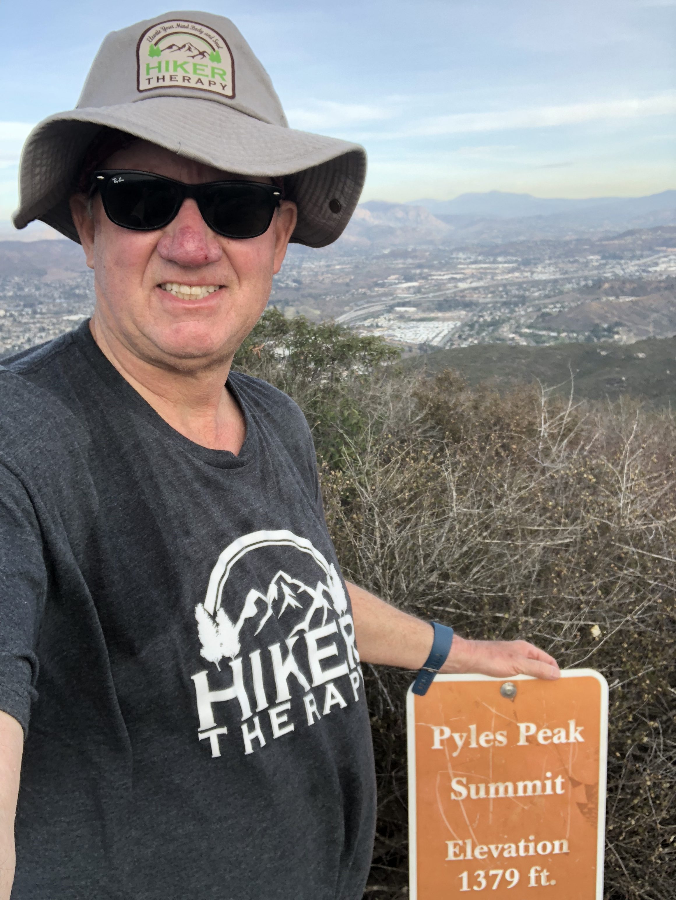
The ascent switchbacks up to the Peak and gets narrow and rocky in spots. Again this is the most diffocult part of the Hike over from Cowles. As you approach the “Pyles Peak Rock” marking your arrival to the summit you will be greeted by the Pyles Peak sign, indicating that you have made it to your second peak of the day. Take in the views, have another snack and scan the surrounding ares between and Cowles and beyond. Looking directly across south you can see the Peak of Cowles Mountain and the radio towers. Although this is a much smaller Peak than Cowles, it is less crowded and in fact for a good amount of my time at the Summit I was the only person there. Another couple came by and we talked. They had been to the other 3 peak in the Mission Trails system this day and just had come over from Cowles, thus making this their 5 of 5 peaks for the day. Nice work indeed! For me the descents challenge me more than the ascents and the descent down the trail from Pyles is challenging indeed. The trail down is about .25 miles and before you know it you will meet up with the main trail junction, go left and follow trail now mostly ascending, back over to Cowles, the radio towers and your journey back.
Summit of Pyles peak Hiker Therapy
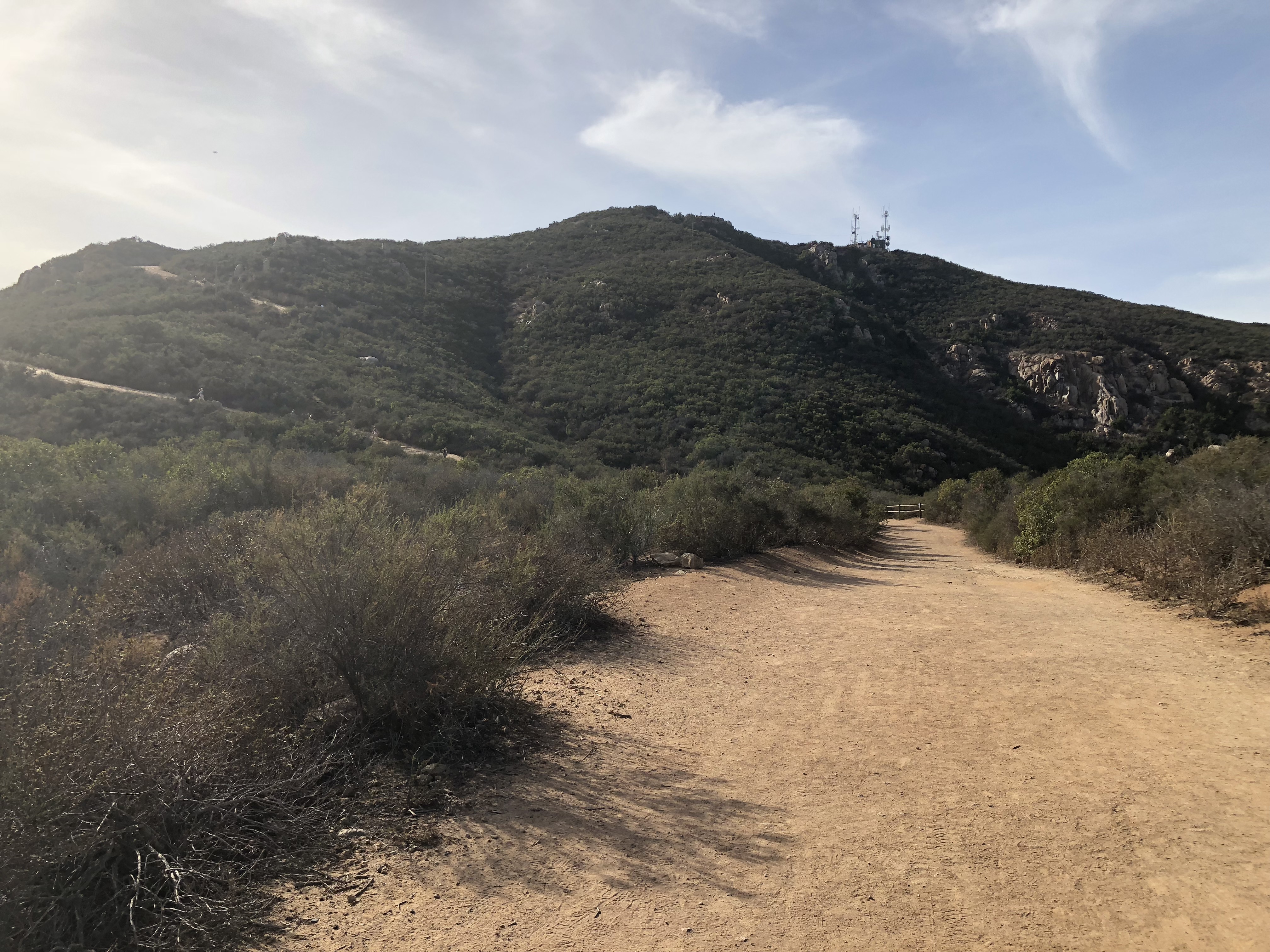
Once at the return summit to Cowles you can decide to go back the same way on the service road down to Barker Way or you can descend down Cowles and meet up with the Barker Way trailhead spur about a third of the way down Cowles Mountain trail on your left. I started this hike at 1:15pm, I arrived back at 5pm right about at dusk.My total miles was 7.25 as I hiked around a bit besides the main distance up to Cowles over to Pyles back to Cowles and then down to the Barker Way Trailhead start. The miles achieved on this hike is anywhere between 6-7.5 miles using the Barker Way Trailhead.
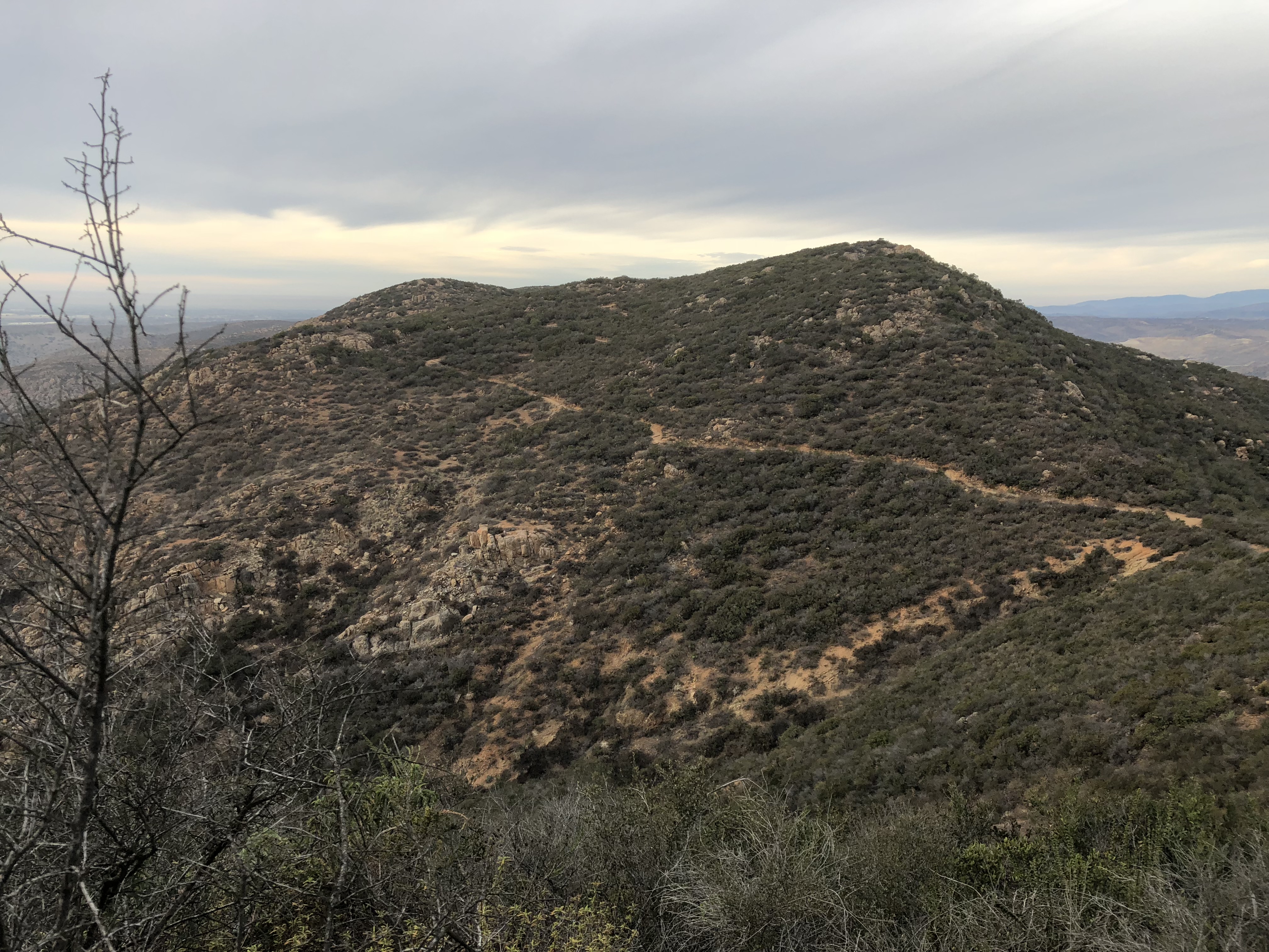
View of Pyles Peak looking over from leaving Cowles Hiker Therapy
So there it is, for a challenging and less trafficked hike up to Cowles Mountain Summit and then over to Pyles Peak I highly suggest the Barker Way Trailhead and the Cowles Mountain Service Rd. trail. Not only do you join a minority of hikers who continue on to Pyles peak after summating Cowles you add 2 hikes in one day to your peak conquests and trail resume.