
Time to Hike: 12-3pm Distance: 3.5 miles out an back Hikeability: moderate to difficult in spots
Snacks/Water: Orange, snack bar, 2L water and bottle of Gatorade at the end Temp: 70’s
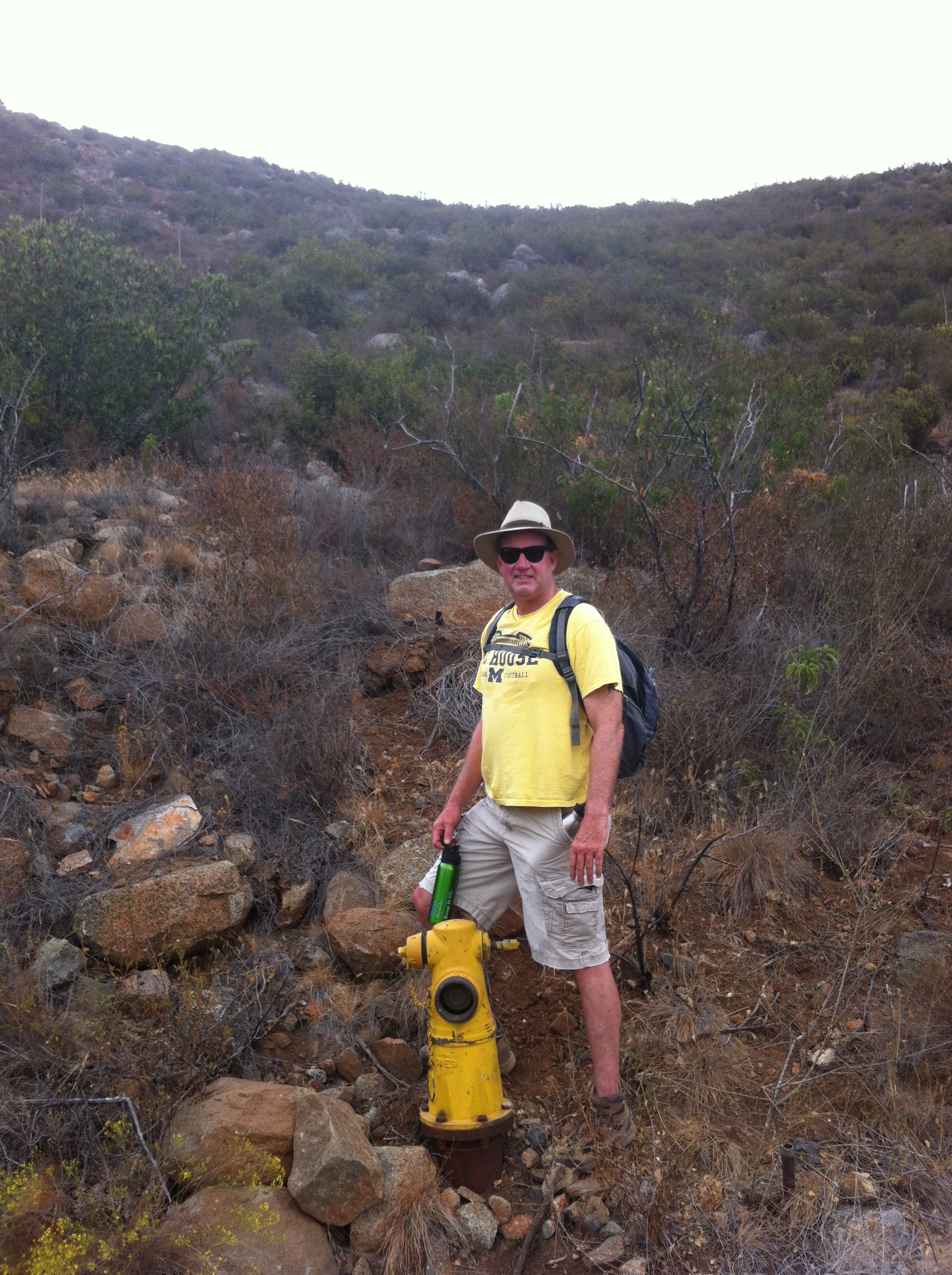
Monserate Trailhead Start HIker Therapy
I’m always so impressed with the amount of quality hiking in our county and no matter what part of the county you live; you can find a hike that will fit the need. I recently moved up to Oceanside from Encinitas and have been looking for hikes up here in the northern section of the county.
I had been used to heading south to such trails as; Cowles Mtn. and the Mission Trails system, Iron Mt. and Mt Woodson in Poway, and even out to the eastern part of the county and the Laguna Mt.’s and the Big Laguna Loop trail.
However, many of the hikes up in the North part of the county were unfamiliar to me. A trail I just discovered through 100peaks.com was Monserate Mountain Loop in Bonsall/Fallbrook area of the county. The Fallbrook Land Conservancy has done an outstanding job of providing a hiking trail in the San Diego North County.
This out and back hike covers about 3.5 miles and has some serious climbing in spots.. This hike has a trailhead to summit net elevation gain of 1,183′ in 1.6 miles so it gets steep quick and exceeds that of Cowles and Iron Mountain as far as steepness. The trail is only 1.75 miles to the 1567 ft. summit but a few side side trips such as a the Red Diamond trail off the main trail, add to the total distance.
Though short and sweet Id consider this hike more short and steep as right from the trail-head start you begin a rather an uphill climb for the first .75 miles. Even after that as the trail twists and turns, flattens and dips, you are on a continual inclined ascent. The rugged composition of this rocky trail really adds to the feel of being on a mountainous hike as well as offering to the physical demands of the hike.
-
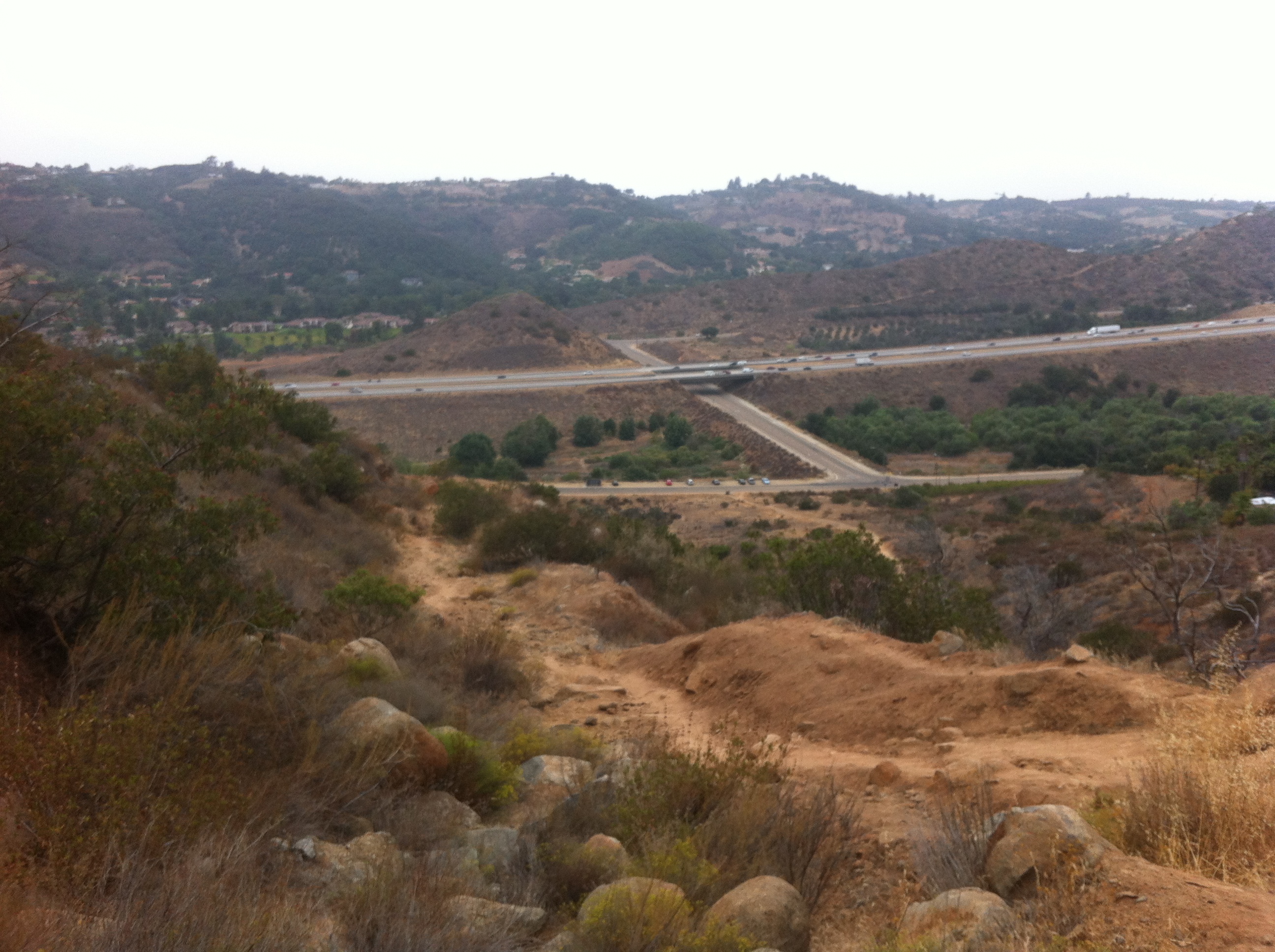
Freeway 15 in distance
-
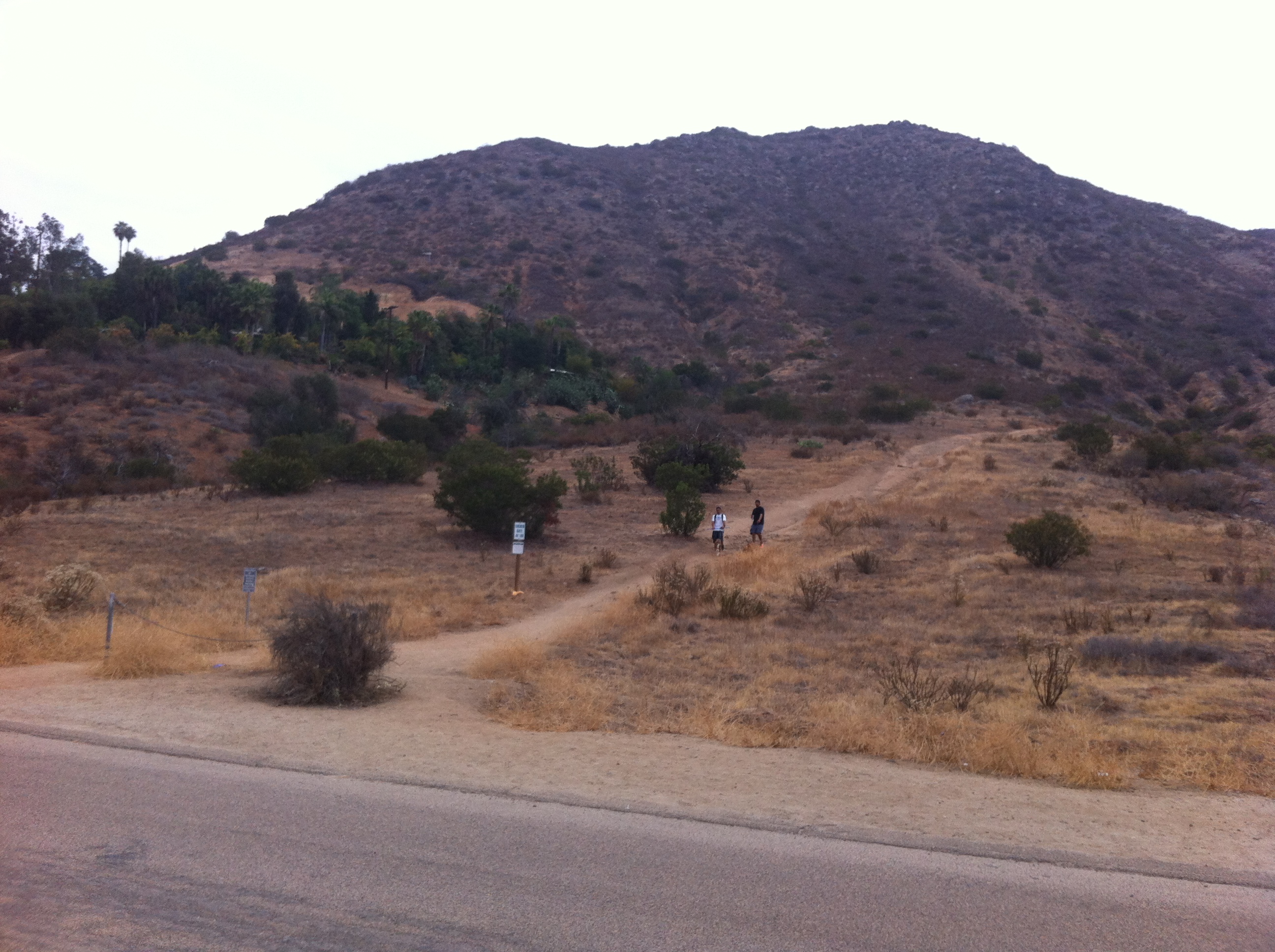
going up at .75 miles
-
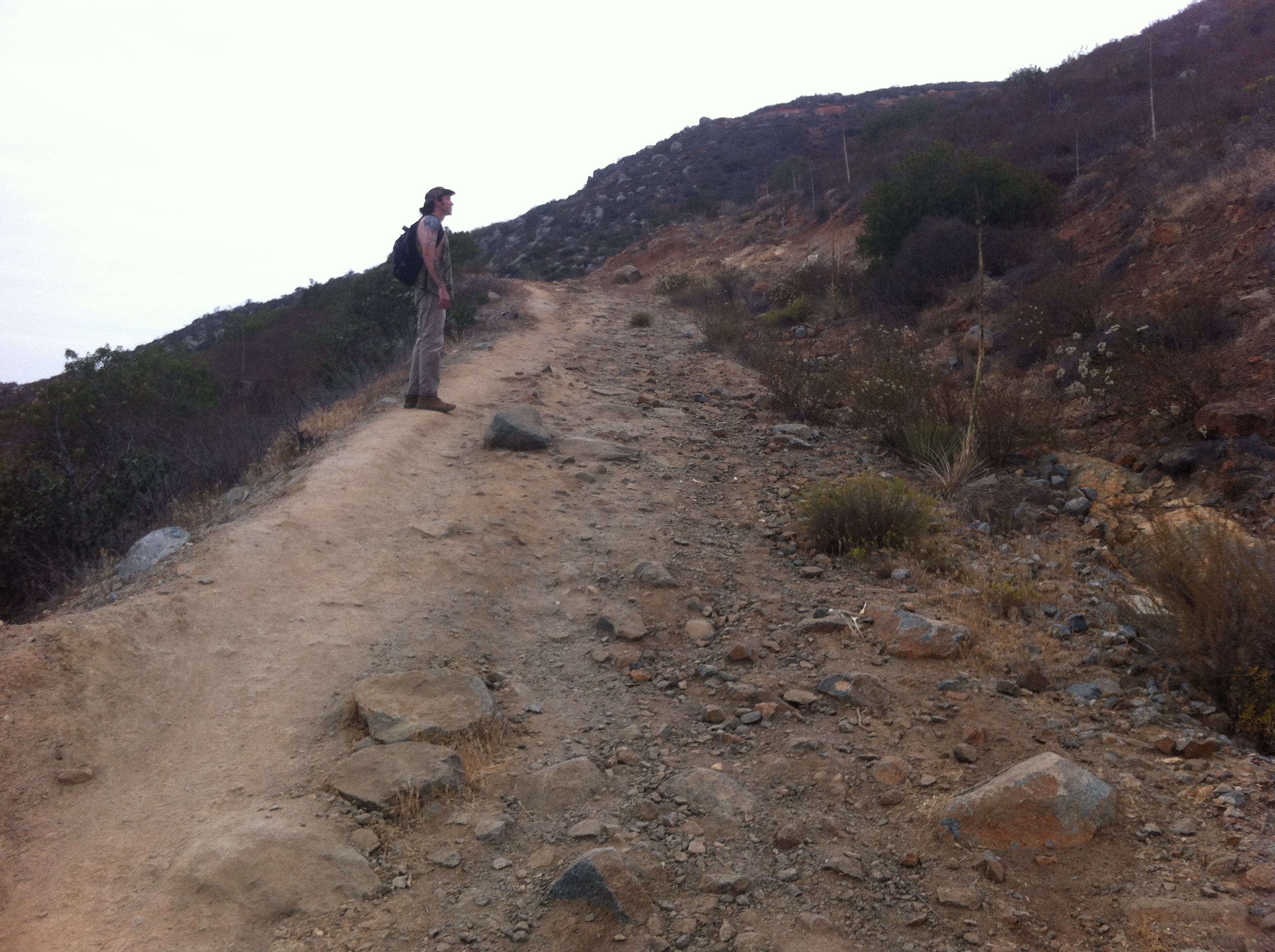
Halfway
-
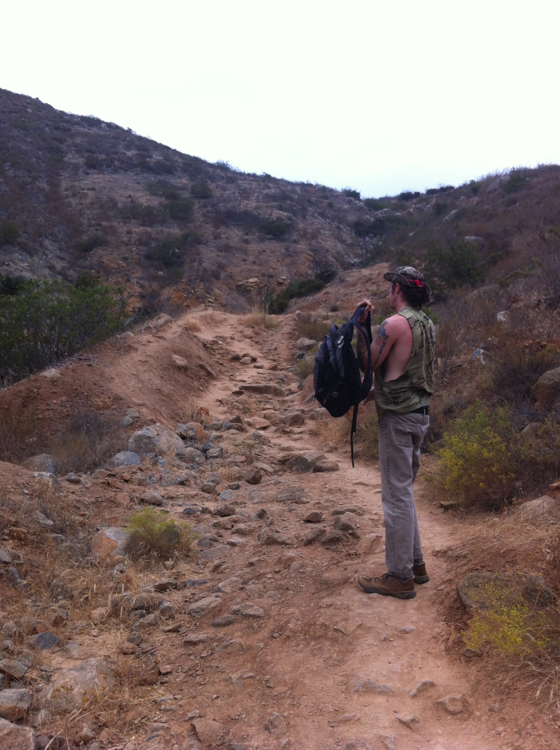
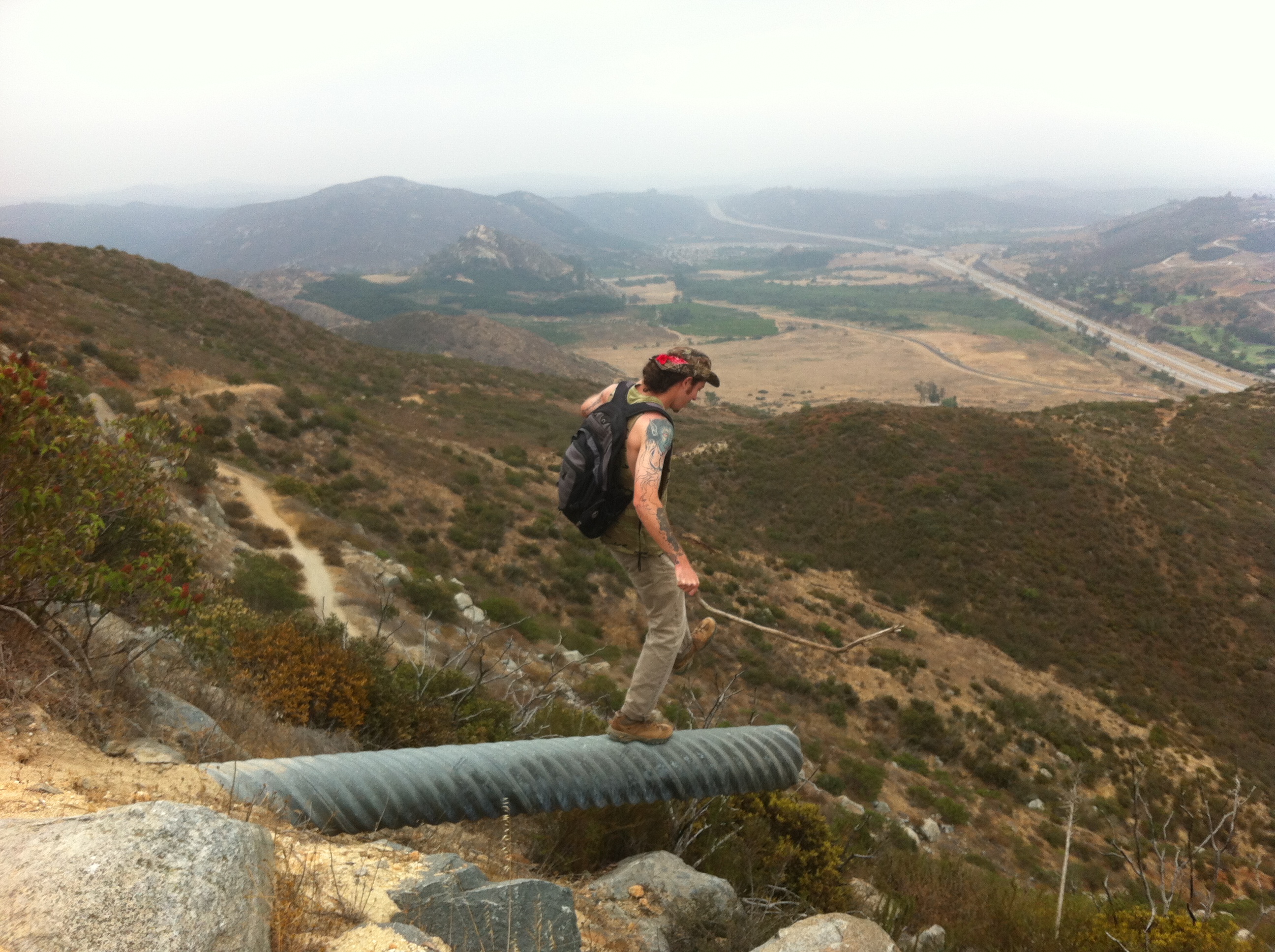
Sam taking in view
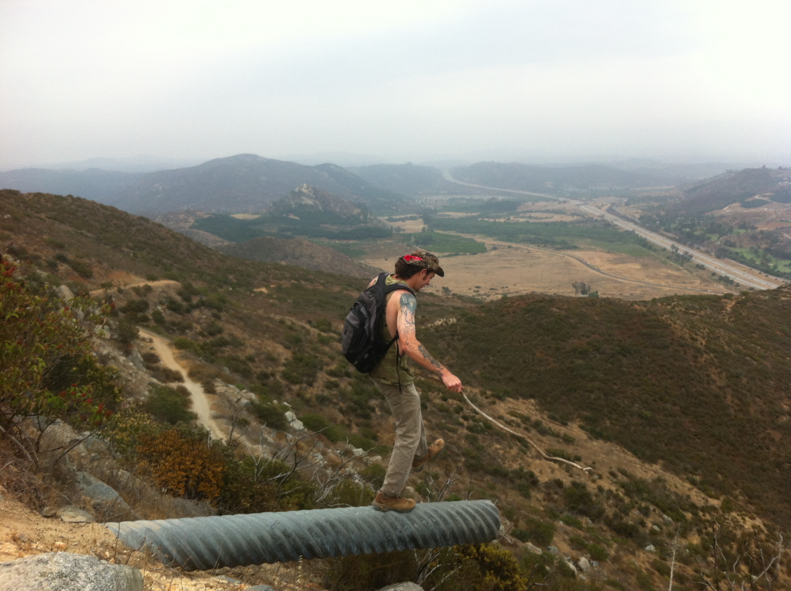
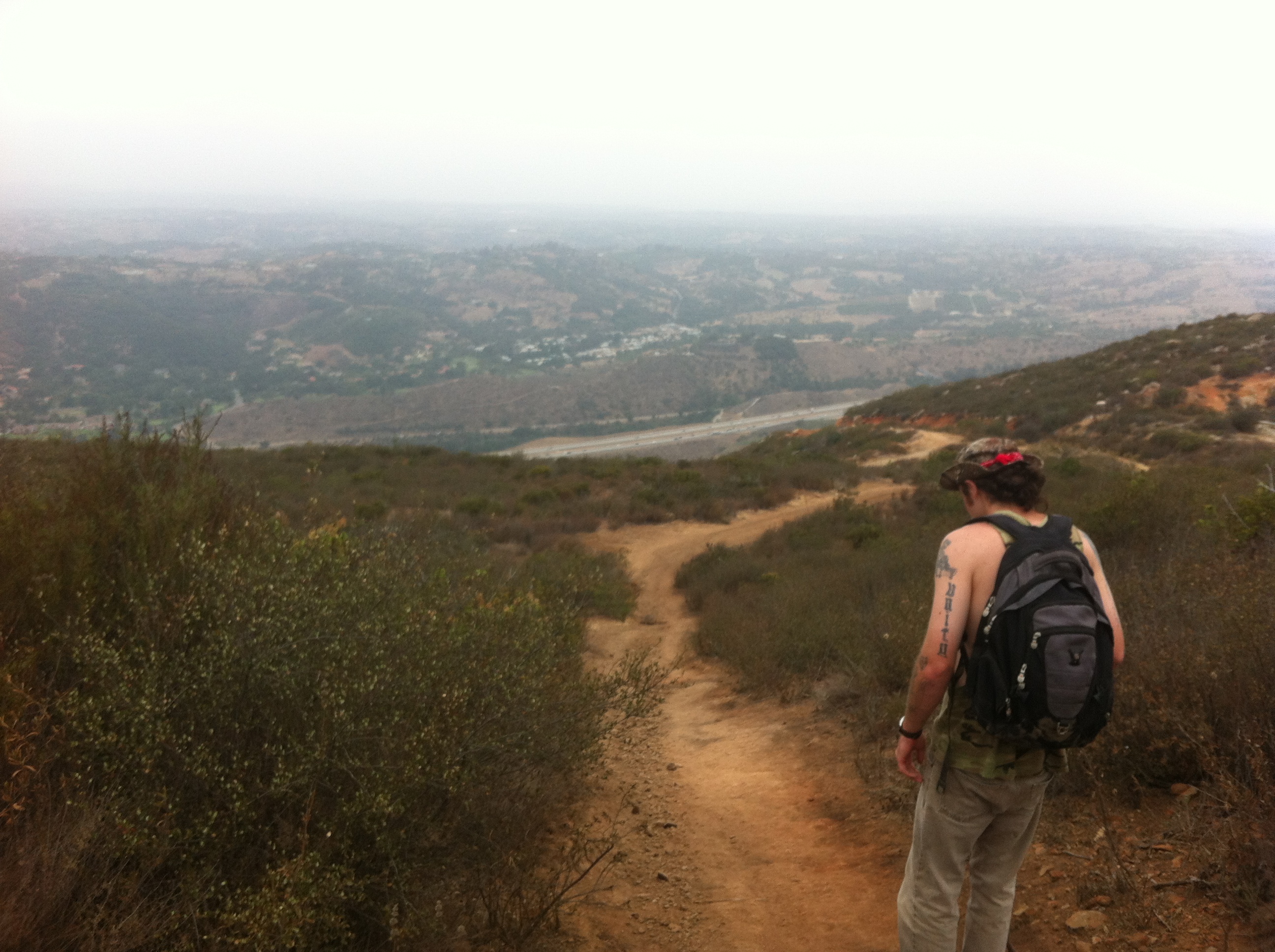
Even though the I-15 freeway is in sight for much of the first .75 miles, the noise from the cars starts to dissipate as you climb. In fact, as you turn left at the .75 mile marker and head north east the noise pretty much is nonexistent and the views become even more eye catching, beautiful and absorbing.
On this day the haze and marine layer kept us from seeing the Ocean and some distant mountain ranges, but even with that you still could het a good sense of the vast openness, mountains and green avocado orchards this part of our county geographically consists of. As you continue the ascent the trail twists and you will come to an arrow made of small rocks, trusts its direction and you will soon be at the summit.
-
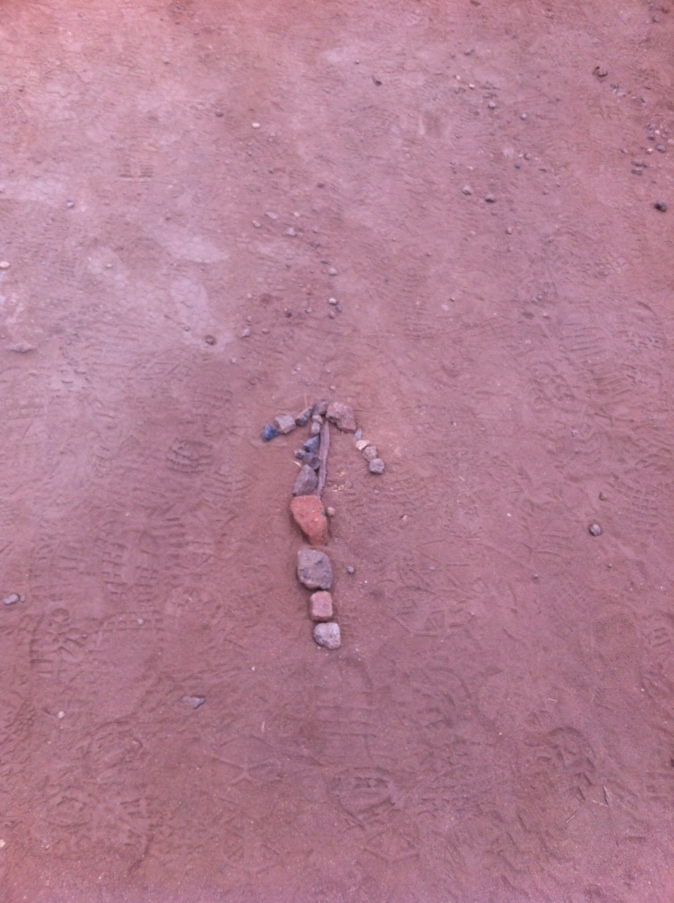
Walk this way
-
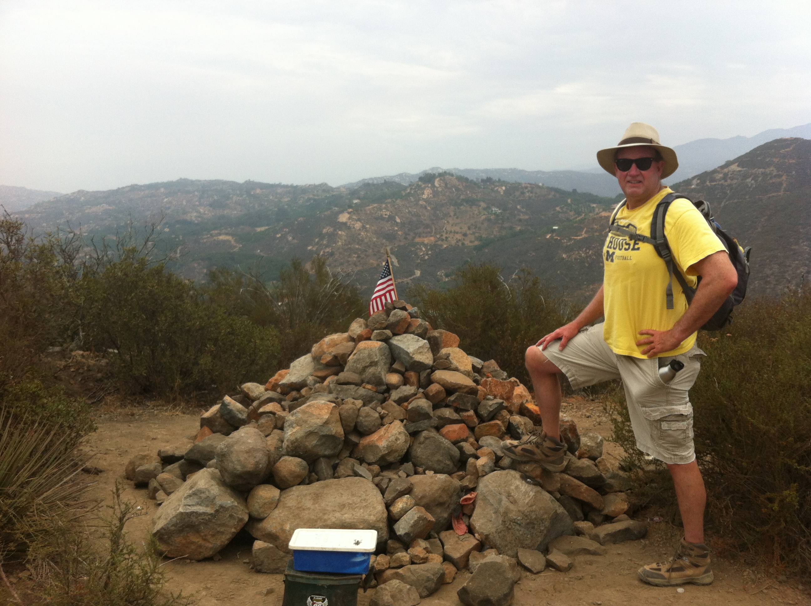
Summit of Monserate,
-
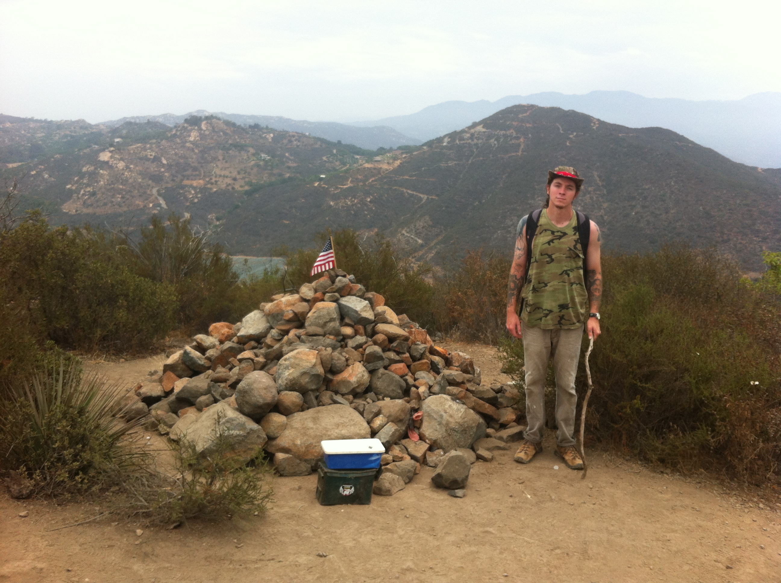
Sam at Peak
-
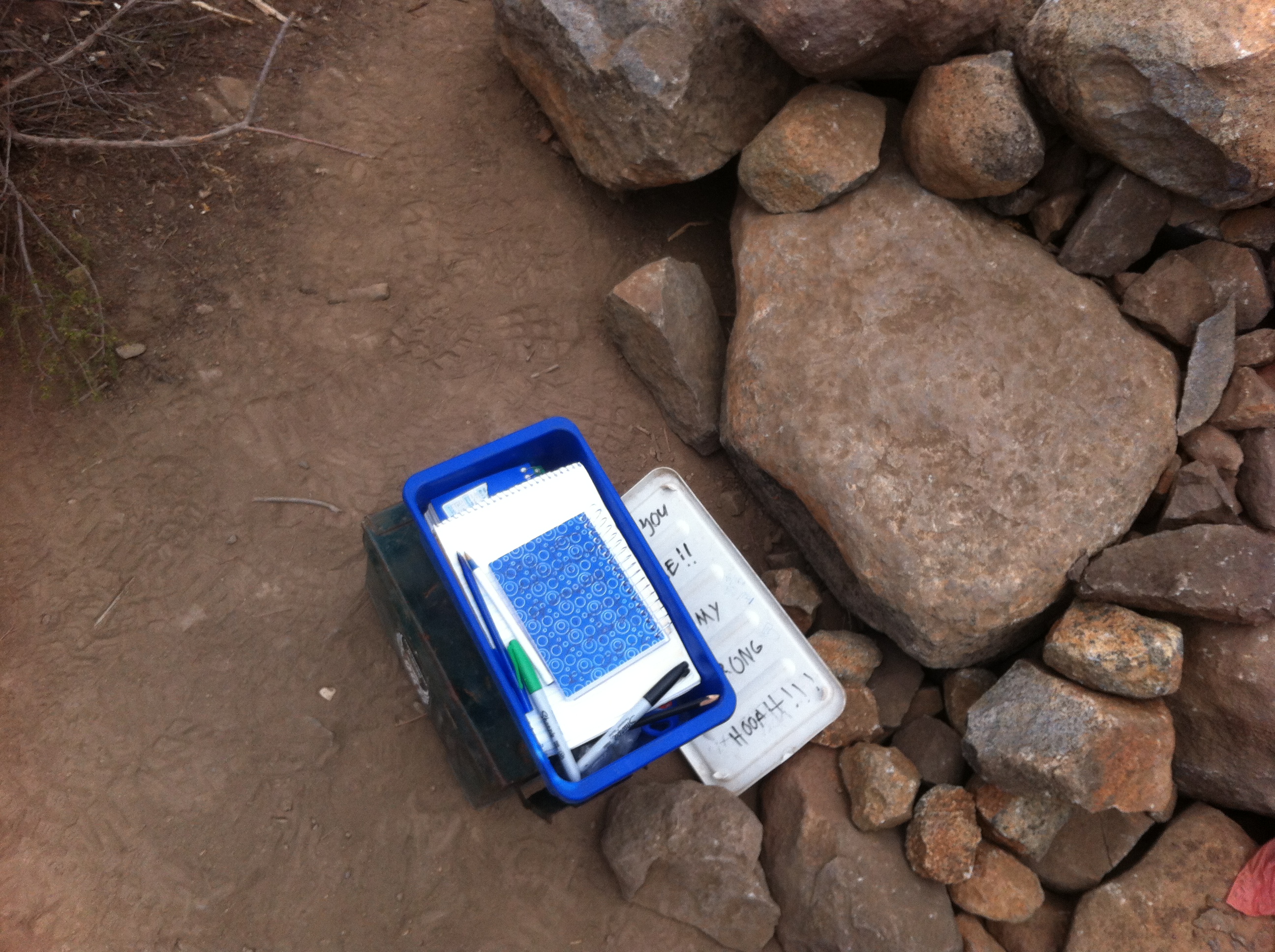
Journal Box
I especially like the summit of Monserate Mountain, not only because of the wonderful views it provides, but this peak also gives you the chance to journal your thoughts or simply sign that you made it to the top! I’d say about 30% of the hikes I do have a journal box atop the summit; a one that immediately comes to mind is Iron Mountain in Poway. Great idea that started this concept and one my son and I took advantage as we always do.
Stepping into nature
After a lunch and 30 minute break we started our descent back. Steep up means steep down, and I usually find this the harder part of the hike for me. However, after a side trip on the short red Diamond trail we were soon heading back down to the trailhead start. The 1.7 plus miles back goes pretty quick.
It had been a few weeks since I had hiked and once again I was in need to be reminded what getting out into nature does for me. Anxieties slip away, purpose and accomplishment are always achieved not too mention the physical aspects and challenges that a hike, and certainly this one in particular, present.
The reward of being up to the challenge both mentally and physically out in a beautiful natural setting surrounded by the sights and sounds that touch all the senses are why the sport of hiking is such a therapeutic gift. Give yourself this same gift and hike Monserate Mountain.
Great Views
Directions to hike : Exit from Interstate 15 at 76/ Pala Road and drive west to Old Highway 395 and turn right (north). Drive 2.6 miles then turn right on Stewart Canyon Road and go east under the Interstate to Pankey Road. Turn right and park on the right. The start of the trail is across the street and is marked by a sign