

Trailhead Start
TO TRAILHEAD: From northern or western San Diego, take the 54 East and merge onto the 94 East. The 94 eventually turns back into the 54, or, Jamacha Blvd. Pass the shopping centers and make your first right on Willow Glen Drive. Make your first right onto Steele Cyn Rd. where you will see signs for the Cottonwood Golf Course. Make your first left onto Jamul Drive. Drive carefully up the canyon for a couple miles and turn left into the dirt lot where the trailhead is located.
From southern San Diego, or Campo area, drive up the 94 until you see Lyons Valley Rd. Turn right onto Lyons Valley, and left onto Jamul Drive. Right after you pass the Jamul Community Church, the trailhead parking lot will be on
Hikeability: Moderate-Strenuous. When & Temp: Saturday, June 14, 2014, 1-4 pm 83 degrees Time and Distance: 5.3 miles about 3 hours with 20 minutes at the top. Water & Food: 70 oz of water, an orange and snack bar
Hiking trails are plentiful in our county including an area I haven’t had much experience hiking, the East County part of San Diego. East County is home to some of the more aggressive hiking trails out there in our County and Southern California. Not only due to the elevation of the mountain summits but the aggressiveness and challenge of the trails as well.
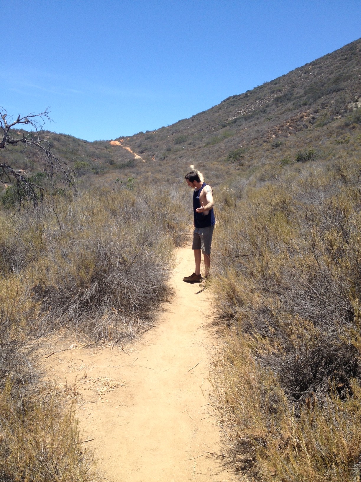
On such hike is the McGinty Mountain hiking trail located in the rural community of Jamul, CA. Although not long in distance, approx. 5.3 miles return trip, the trail offers quite the challenge! Most of the trail composition is hard packed clay and soils mixed with gravel and in certaains sections, loose gravel and jagged rock. .
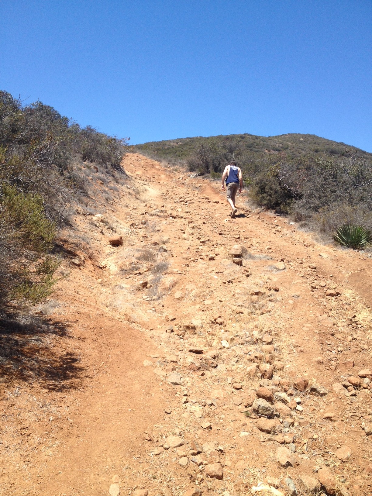
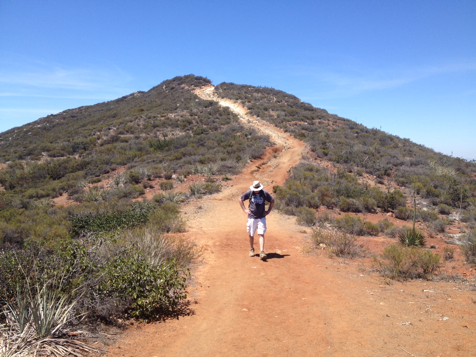
The trailhead is located in an unassuming area of Jamul, and quite easy to get too from Hwy 94. A small parking lot off of Jamul Drive landmarks your start. The trail starts out easy enough and on this day was hot and dry. This hike also isn’t known for a lot of shade, so take lots of water, bring a hat and sunscreen.
As you start the trail you will quickly start to climb, follow the switchbacks to the false peak of McGinty Mountain as you do you pass through and climb above the local neighborhood of very big ranch-style homes. In fact, at one point on the trail, you will come to a fence that separates the trail from the neighborhood, stay right and continue along on the switchbacks up.
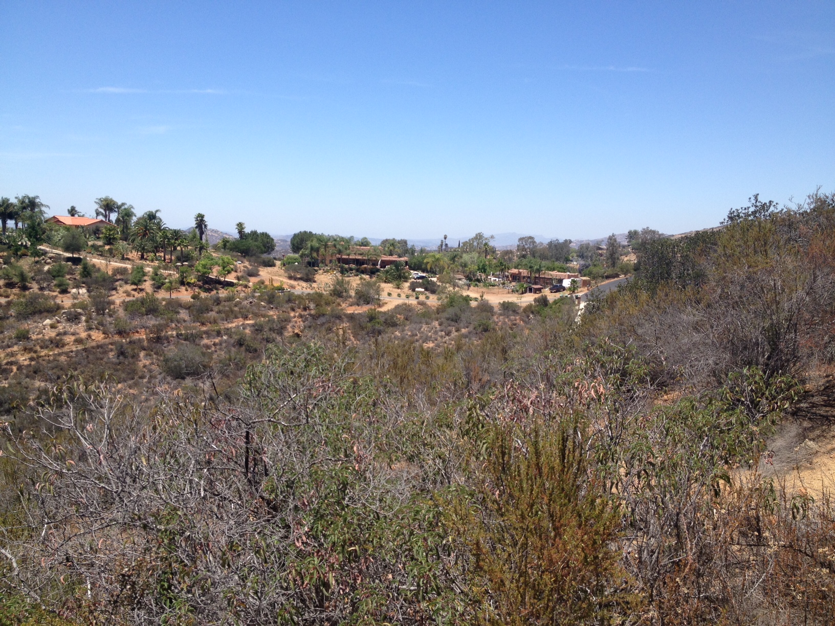
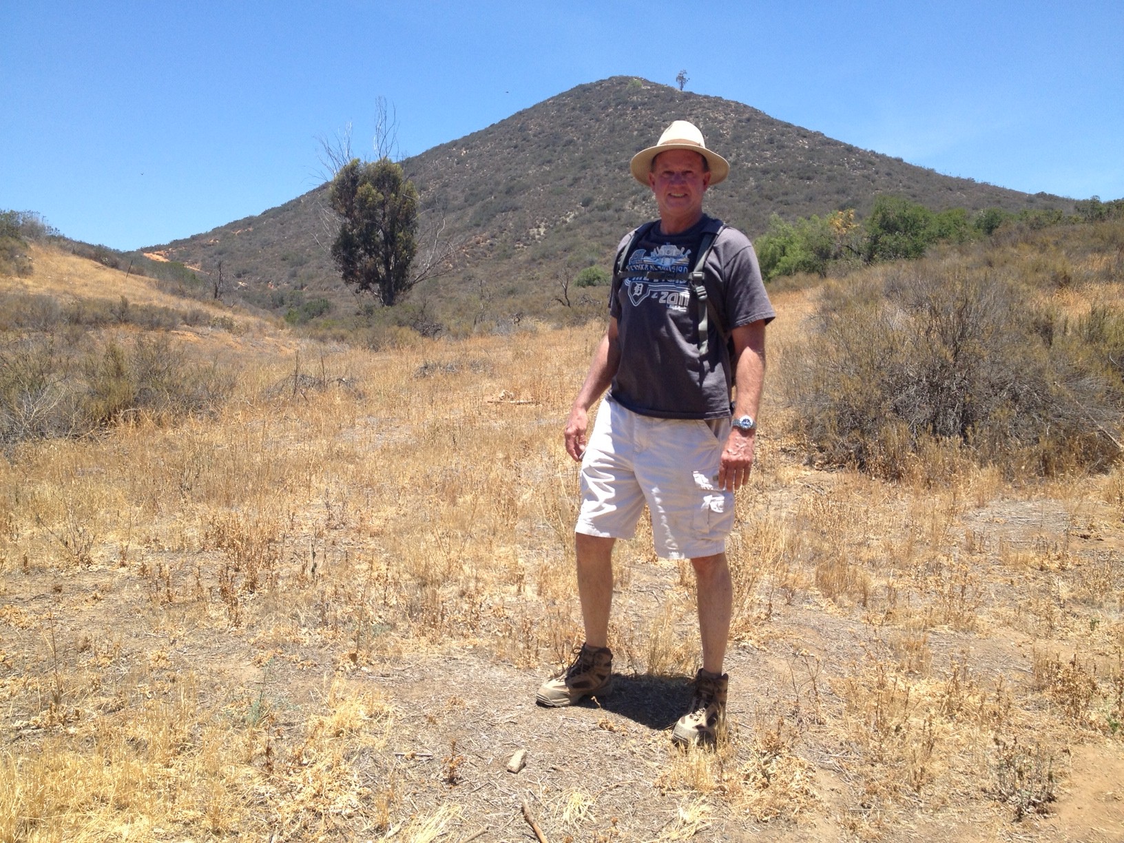
You will go approx. one mile until you reach the false summit and fist bluff area. A large shade tree to the right landmarks this for you as the trail leads you to this open area. Take a break here, eat an orange catch your breath.
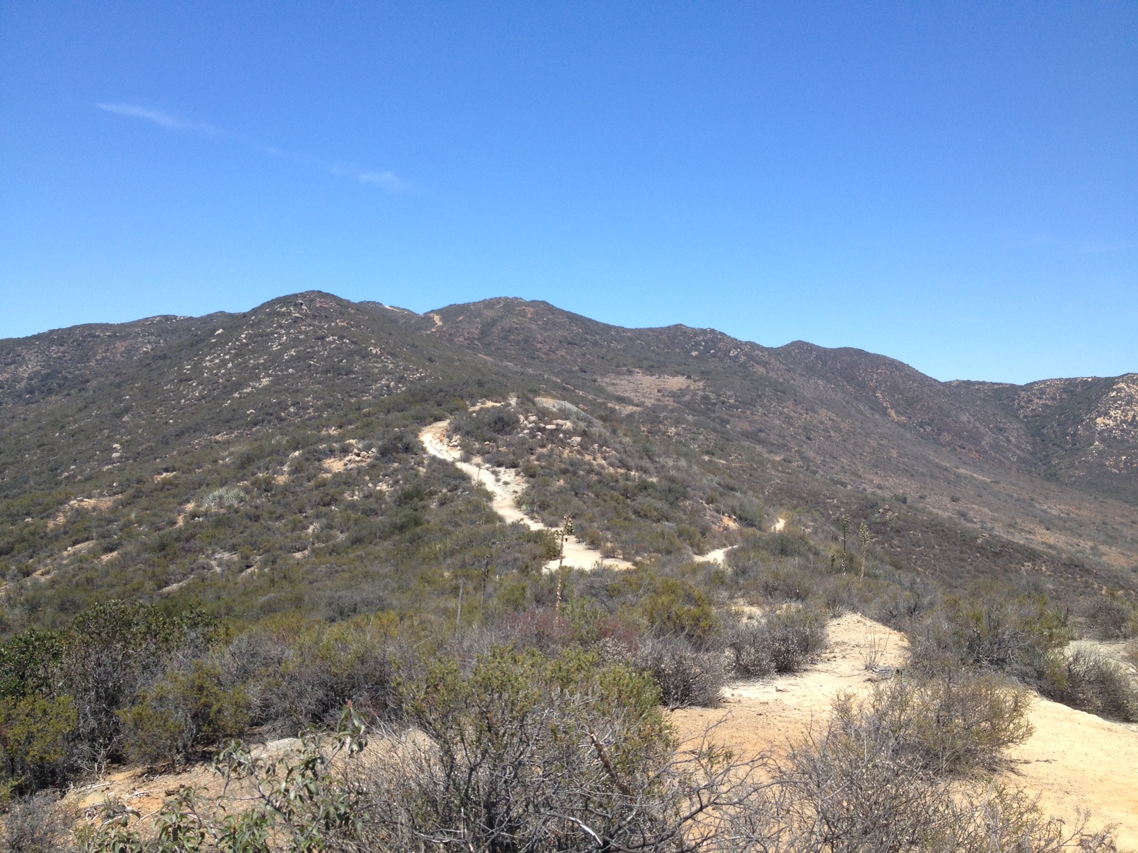
The most challenging part of this hike is ahead. Head back to where you just exited the trail, which is to the left, and continue on, and soon you will see the “real” peak of McGinty and the trail that leads to it. From this point, you have about 1.5 miles to go to the peak.
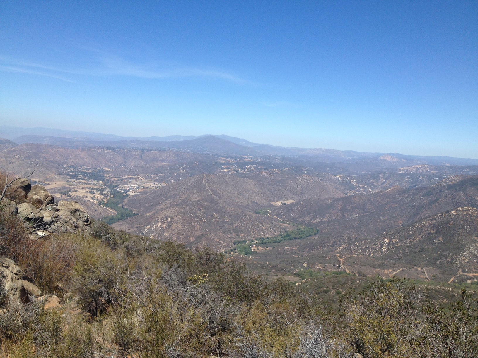
The trail splits the surrounding area, which gives you a great view of Mexico to the right or east and the distant Pacific Ocean to the left or west. In fact, as you look back on the trail as you approach the summit, the trail looks like a “backbone” as it traverses the mountainous terrain of the area.
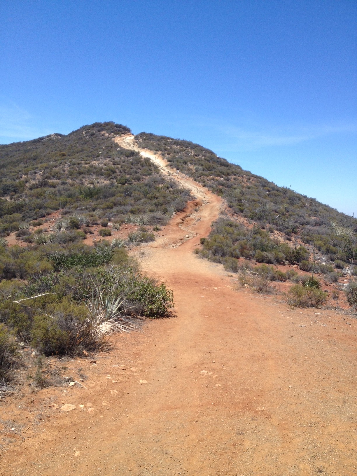
At this point as fellow hikers reminded us, the part of the trail is “easy”. Soon you will see the trail begin to climb, get steep, as it leads you to the summit. There are two places where the trail gets very challenging and very rocky. Make sure you take it slow and are aware of the trail composition.
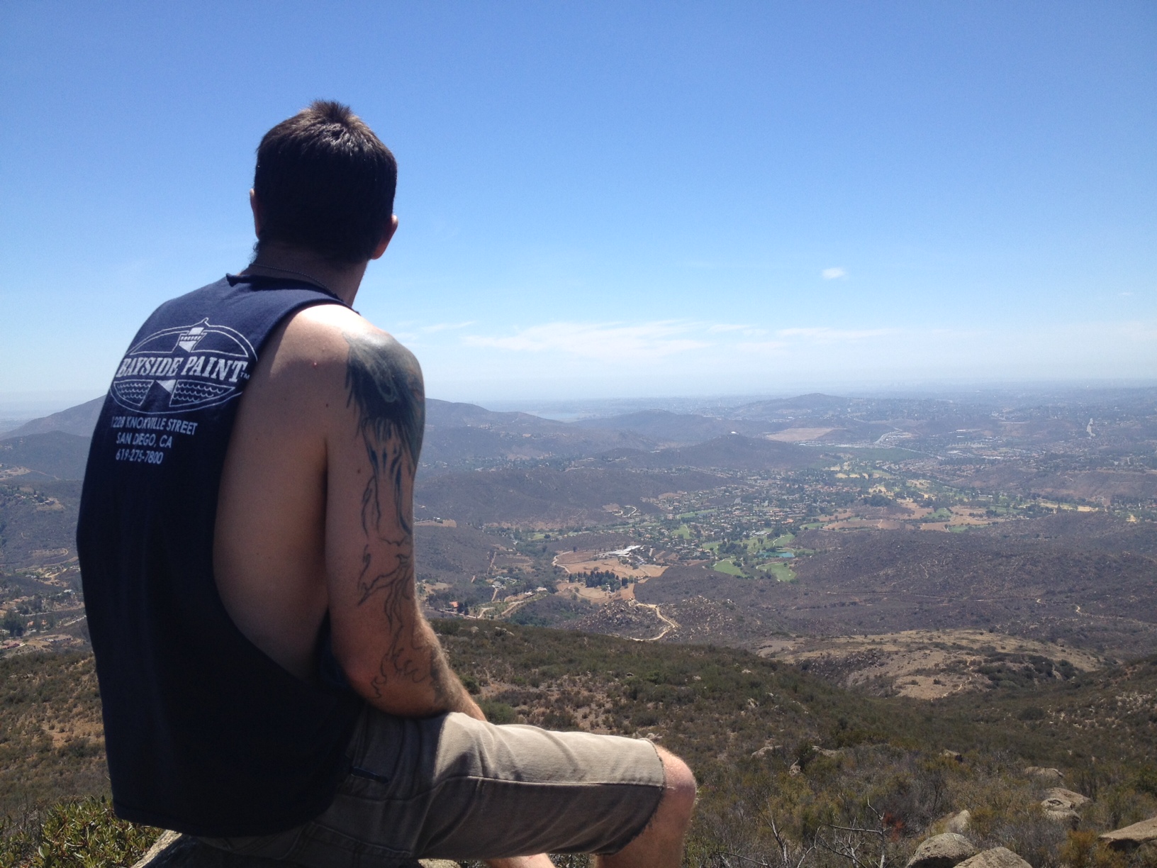
After your first steep climb, you have a chance to get your breath and take on the second leg of the climb and the summit of McGinty. As you approach the summit you will see a high point to your left full of boulders, make your way up the makeshift path to the peak. Sit here enjoy your accomplishment, snack, hydrate and take in the beauty of the East County and the surrounding mountains.
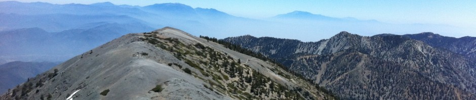
The McGinty summit offers one of the more beautiful panoramic views of our area, with The Pacific Ocean, Mexico, neighboring mountains such as El Cajon, Miguel, and Lyons Peak and in the distance Mt. Woodson and Iron Mountain Poway. all easily viewed from the Peak. If its a very clear day you may be able to see Pt. Loma in the distance to your southwest.
The return trip is the same trail back, I always find the descent harder to do than the ascent especially on the knees, watch your step and enjoy your hike back!
Not many know of McGinty Mountain in the East County, but this well kept secret is very much worth taking on and is listed #23 on the list of peaks in the county at www.100peaks.com.
Have Fun Be Safe! HIke with a partner, respect your partner’s limits, respect your own limits.