

STEPS: 13, 073 DISTANCE: 6.54 miles ELEVATION GAIN: 990 ′ HIKE TIME: 2:53 minutes including 30 minute stop at Eagle Rock PARKING/RESTROOMS; No facilities, park on road across from fire station. WATER: 1.5 liters used, brought 3L SNACKS: Sandwich, Pro Bar TEMP; at Hike Time 10:30am was 68 degrees
I love Hiking the Back Country and Desert areas of our county and now consider these areas my new favorite place to hike. The recent winter rains have had have turned the landscape a vibrant green and filled the creeks and falls with flowing water.
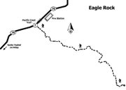
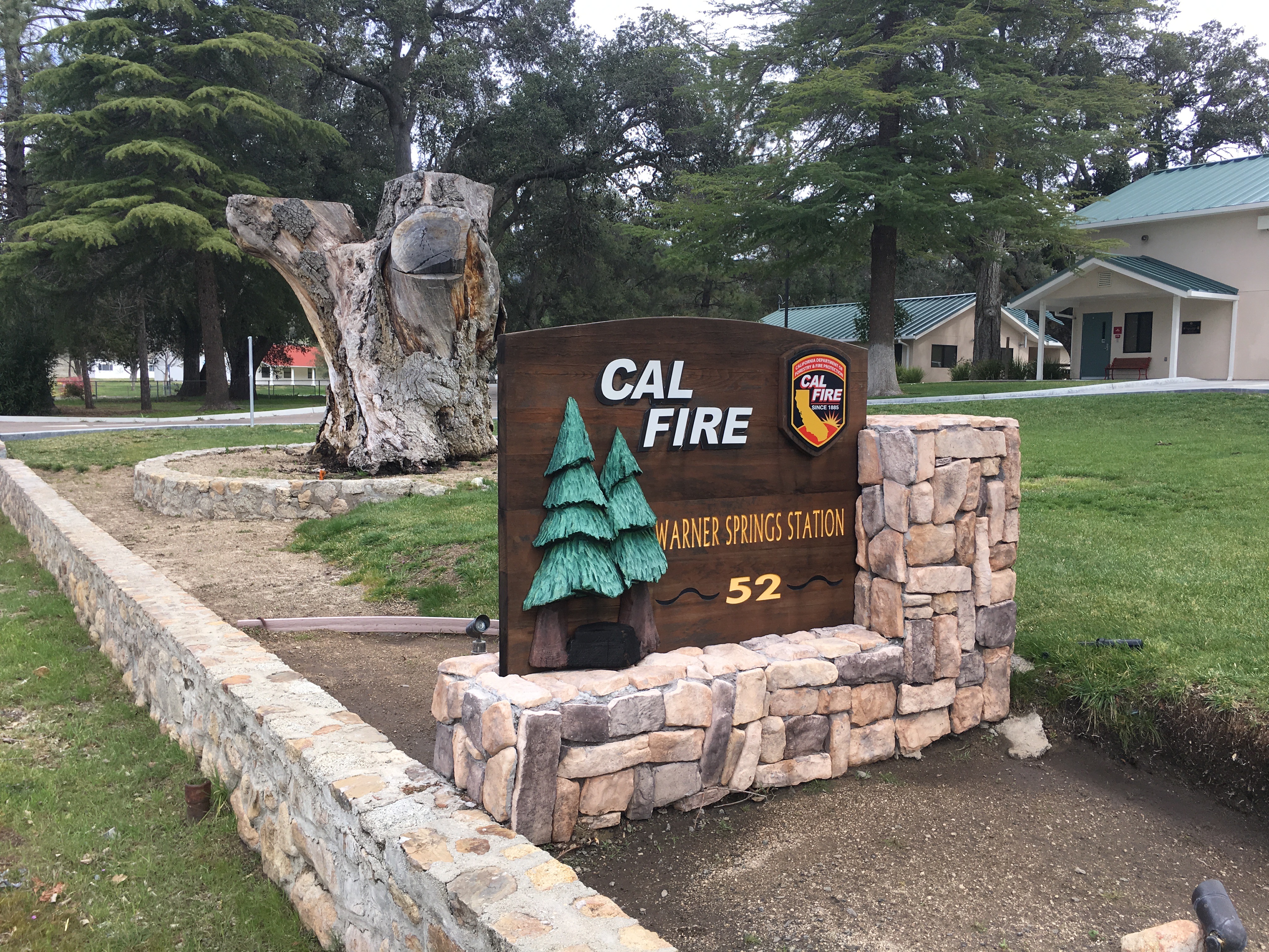
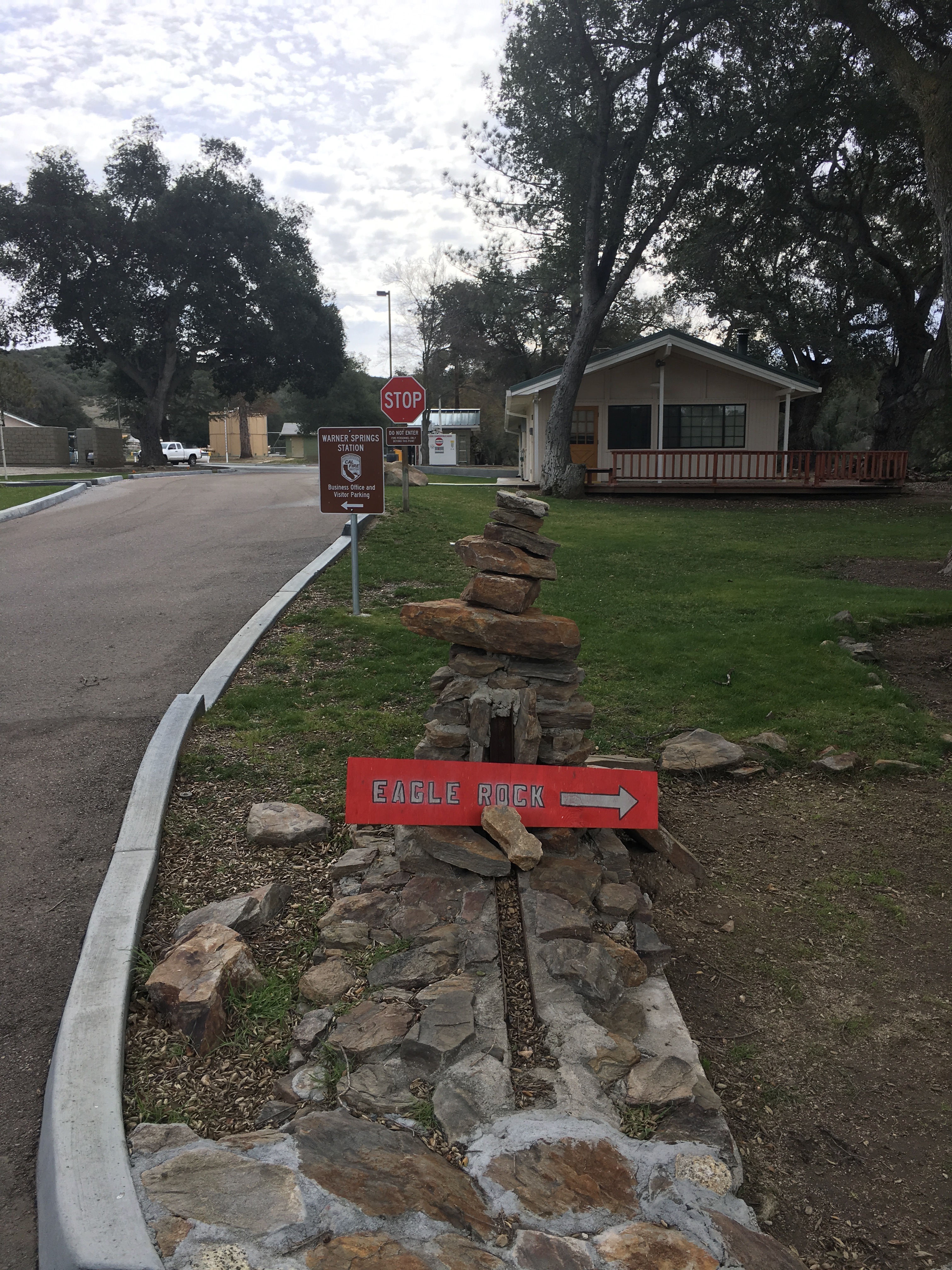
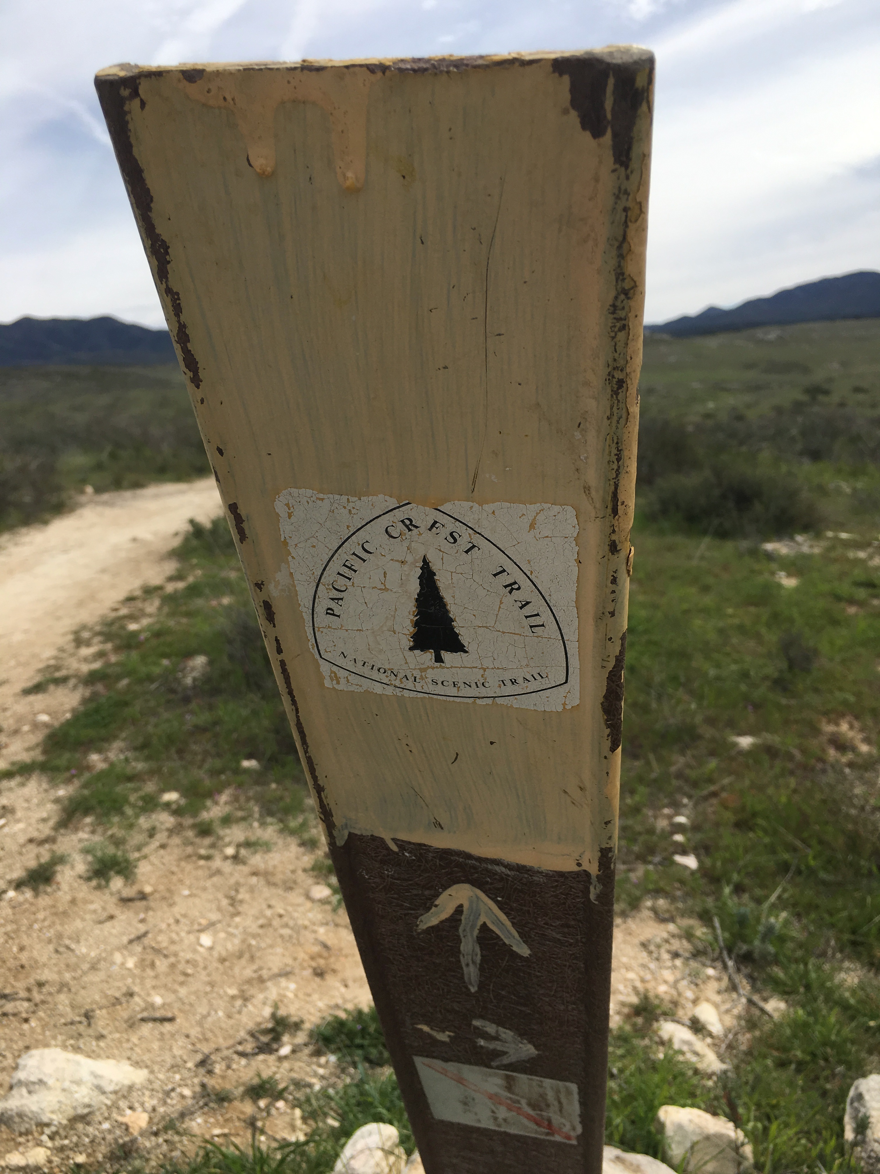
Like many of the hikes in the eastern part of our county, the drive out there provides a visual richness and stimulation of its own. The route out to Eagle Rock trailhead is easy to get to where ever you are coming from.. The trailhead starts just south of the Warner Springs Fire station on HWY 79 and is marked red sign pointing you in the right direction.
-
Eagle Rock Trailhead Hiker Therapy
-
Eagle Rock Hike Hiker Therapy
-
Eagle Rock Hiker Therapy
-

PCT Hiker Therapy

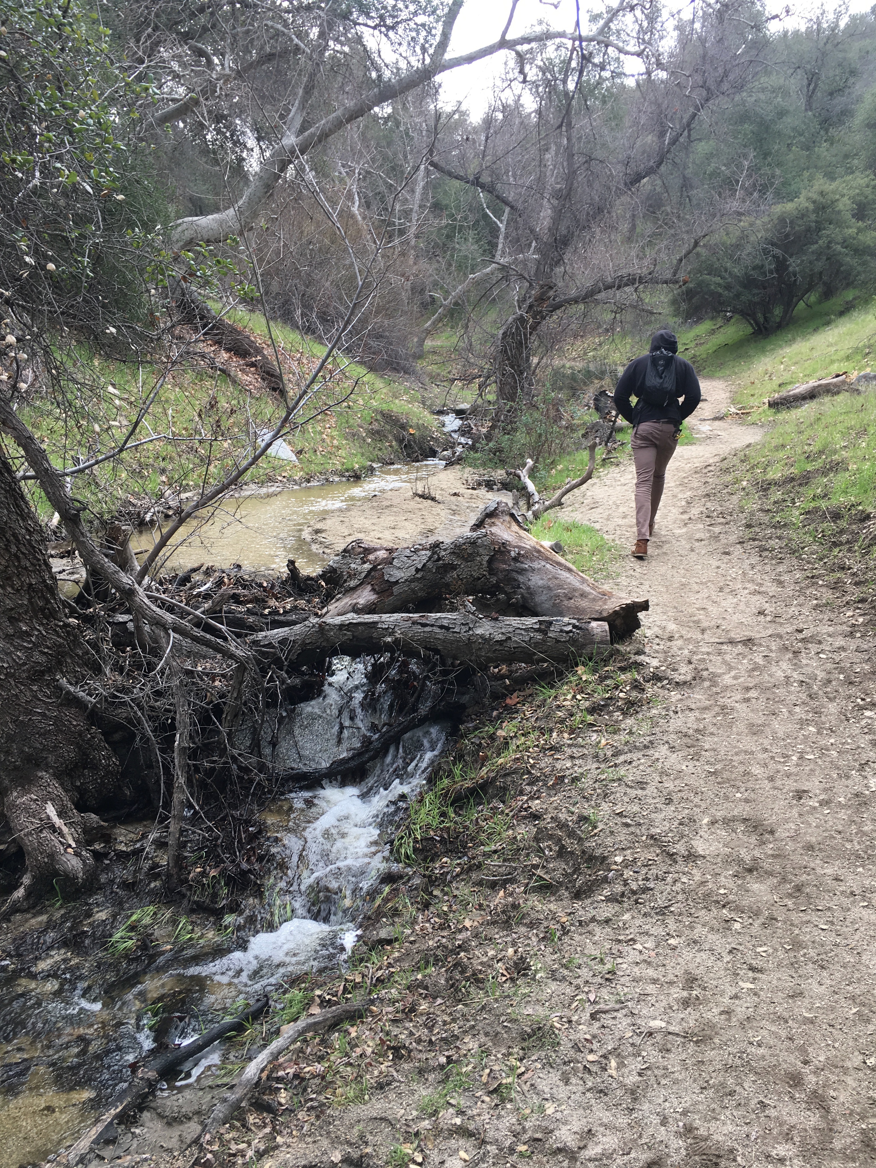
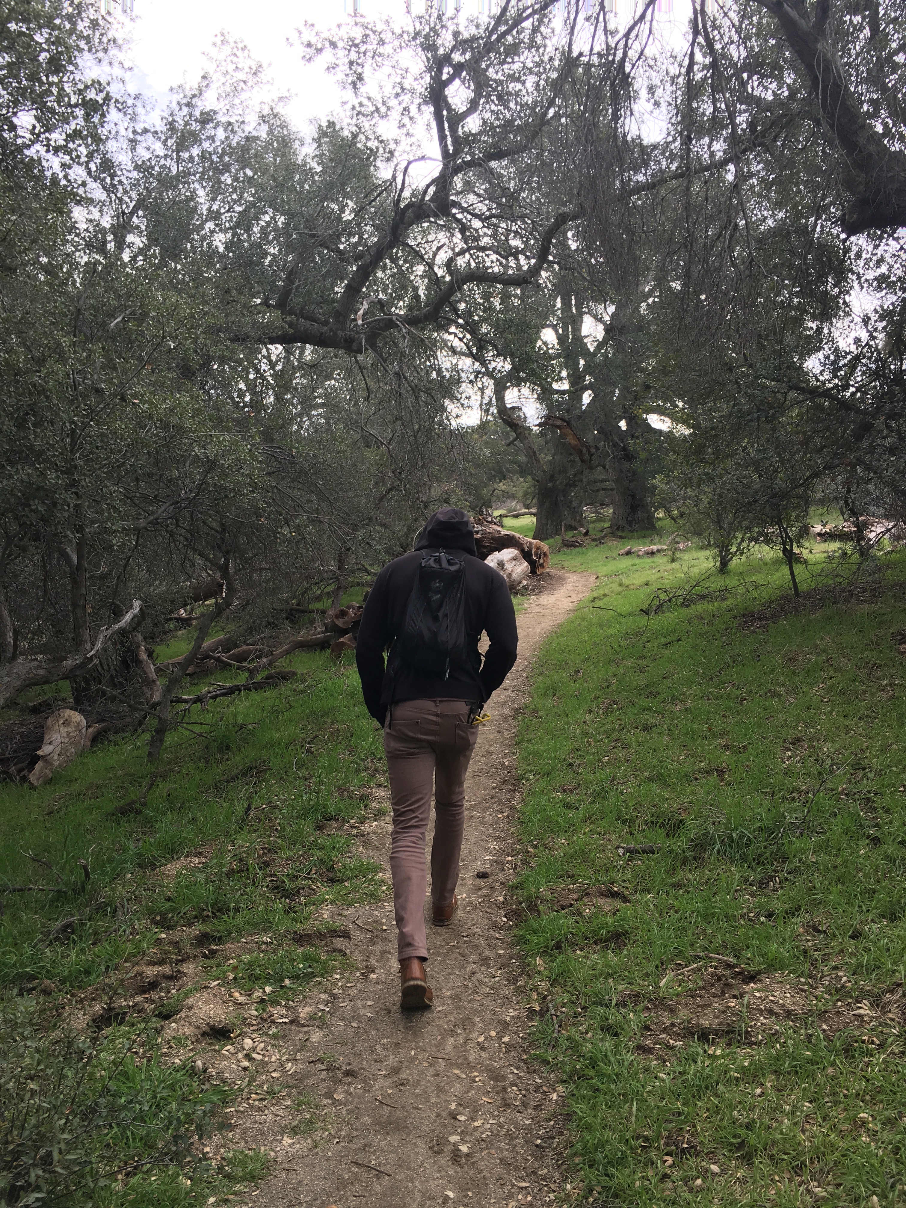
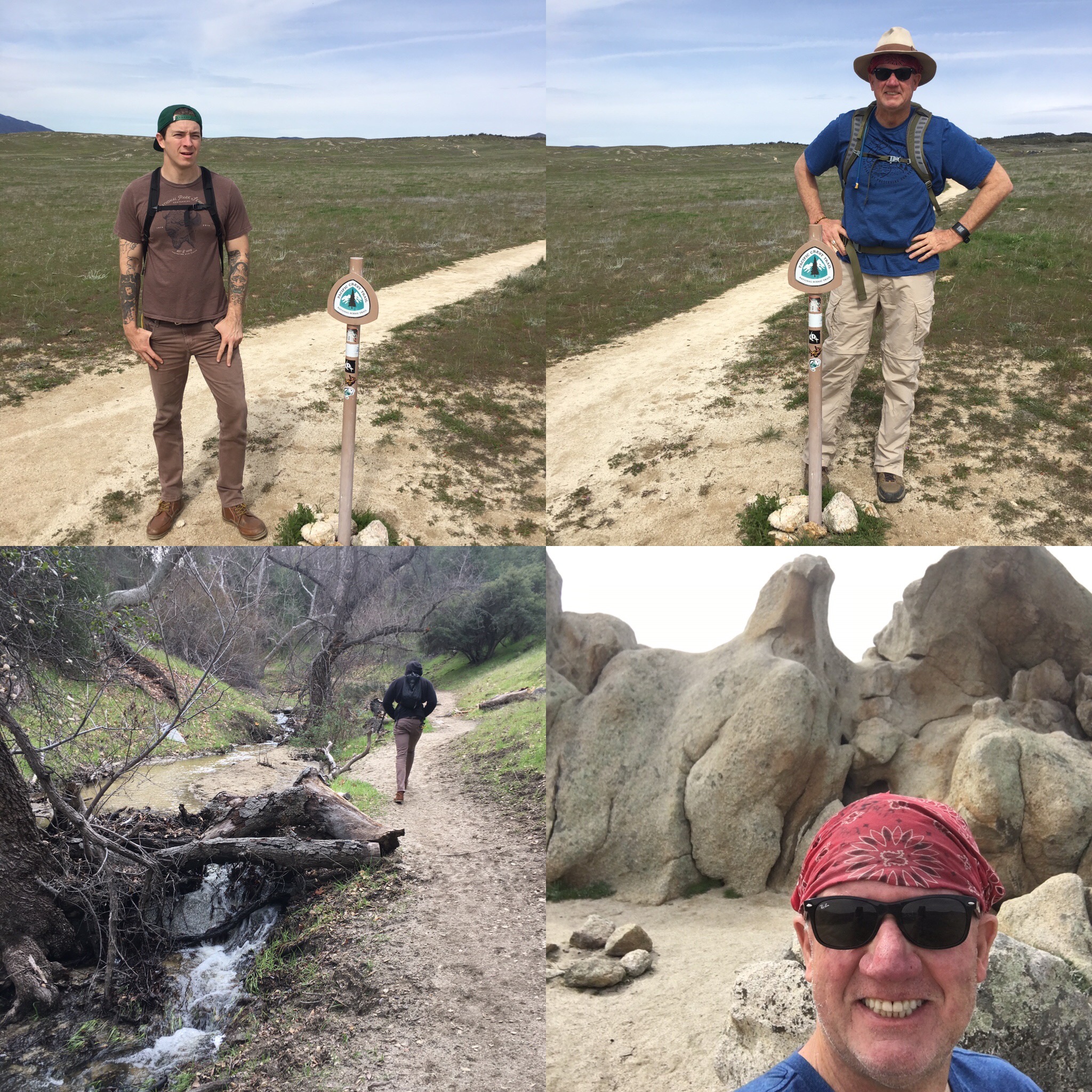
From the trailhead start, follow the well-marked PCT signs south and east up Canada Verde Creek, which on this day was full of fast flowing water. The trail to the “Rock” is approximately 3.5 miles and in the beginning cuts through a forested woodland of huge old coast live oaks engulfing you along the trail.
-
Eagle Rock Trail Hiker Therapy
-
PCT Eagle Rock Hiker Therapy
-
PCT Hiker Therapy
-
Eagle Rock Trail Hiker Therapy
Notice that some of the oaks are marked as bee trees. The trail is flat, well made and very easy to navigate. There are a few dips and climbs, but for the most part I would grade this hike as easy to moderate, moderate based on distance. As you climb, the trail continues to follow the creek, which slowly disappears from view as you hike out of the woodlands.
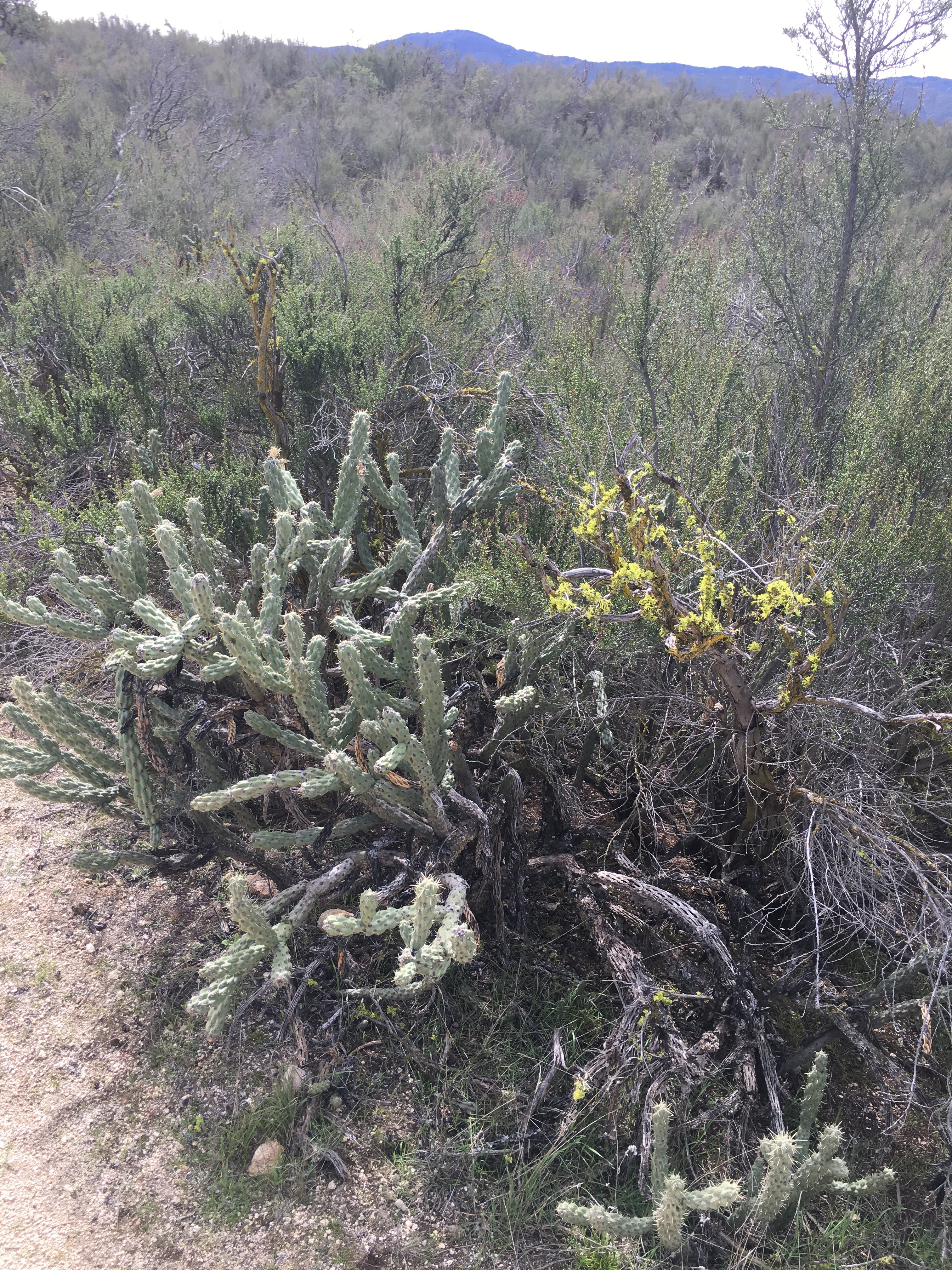
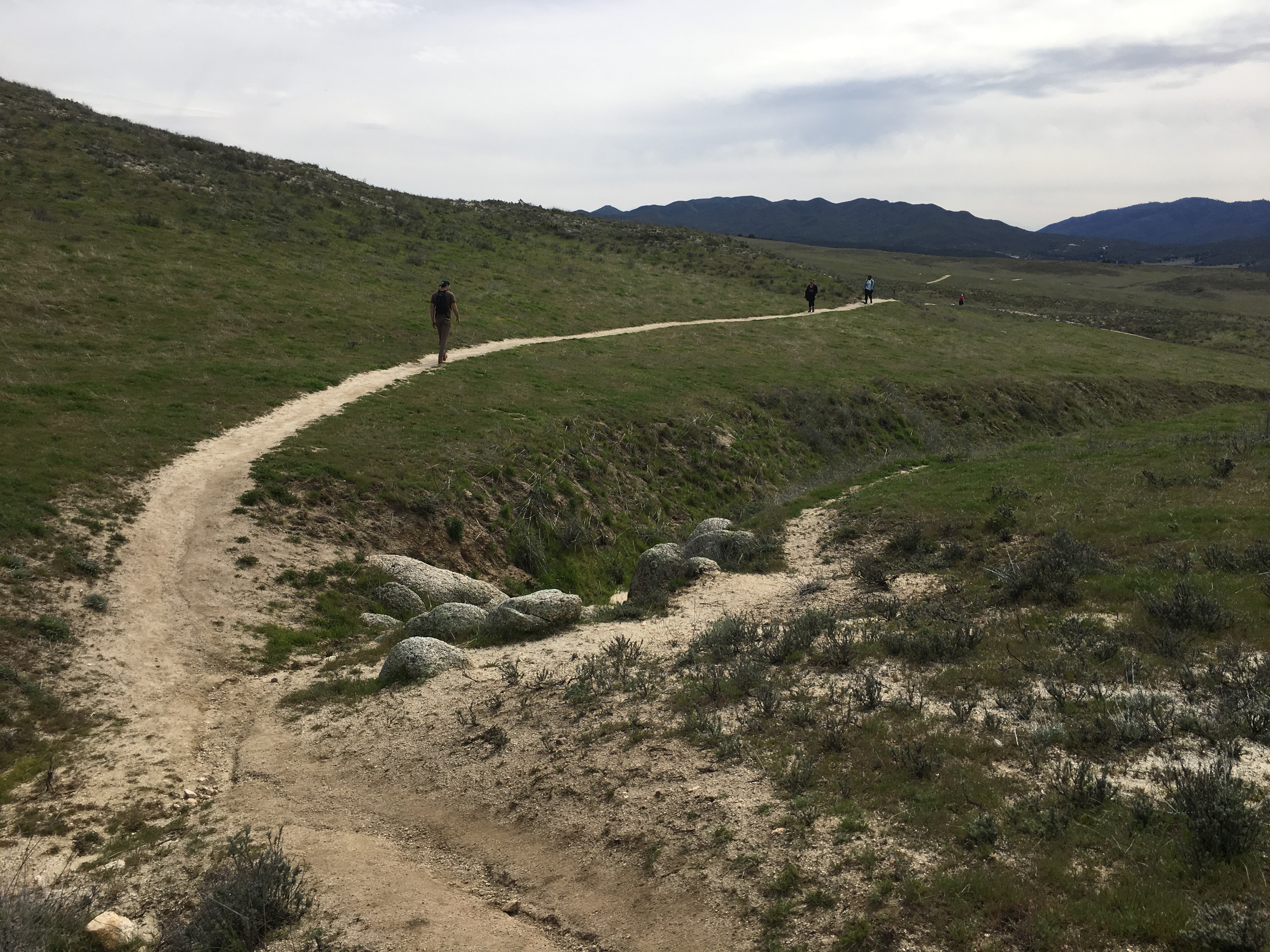
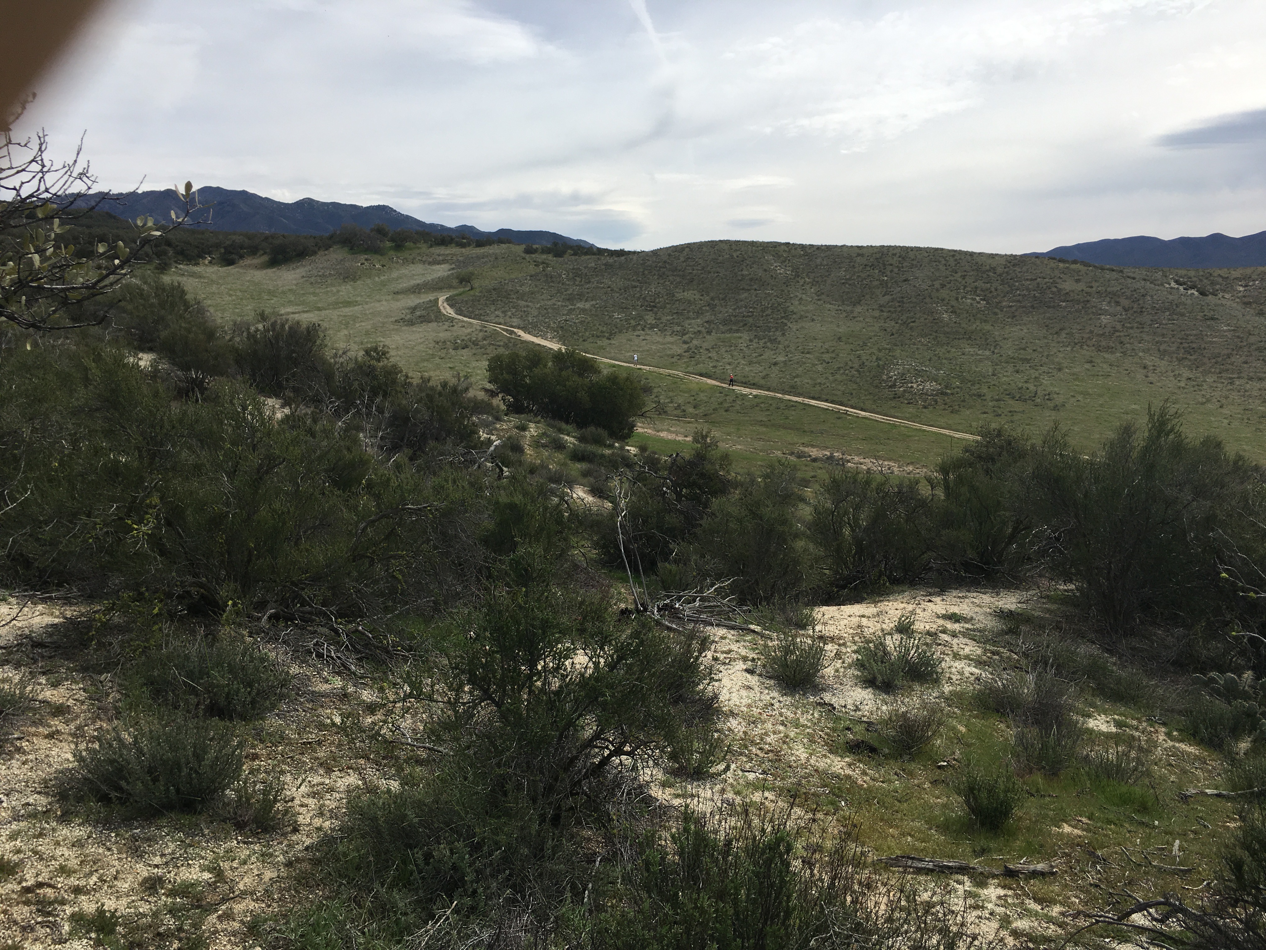
The trail climbs rising above the creek and opens up to what you would expect the Pacific Crest Trail to look like, lots of open spaces surrounded by rolling hills and the distant mountains of the local area. As you near the half-way point of this trail, the landscape becomes more desert like with low lying vegetation, cactus, chaparral and brush.
This section of the Pacific Crest Trail cuts through the Los Coyotes Indian reservation and is well marked with the legendary Pacific Crest Trail marker.
On this morning, there were others out on the trail, however, you do not feel like you are competing for trail space. The interesting part of this section of the PCT, are the “through” hikers who have started their journey of hiking the PCT in Campo and are headed north to tackle whatever goal they have set on this 2300+ trail that goes up to the Canadian Border.
-
PCT Hiker Therapy
-
Eagle Rock Hiker Therapy
-
Eagle Rock Hike Hiker Therapy
-
Eagle Rock Hike Hiker Therapy
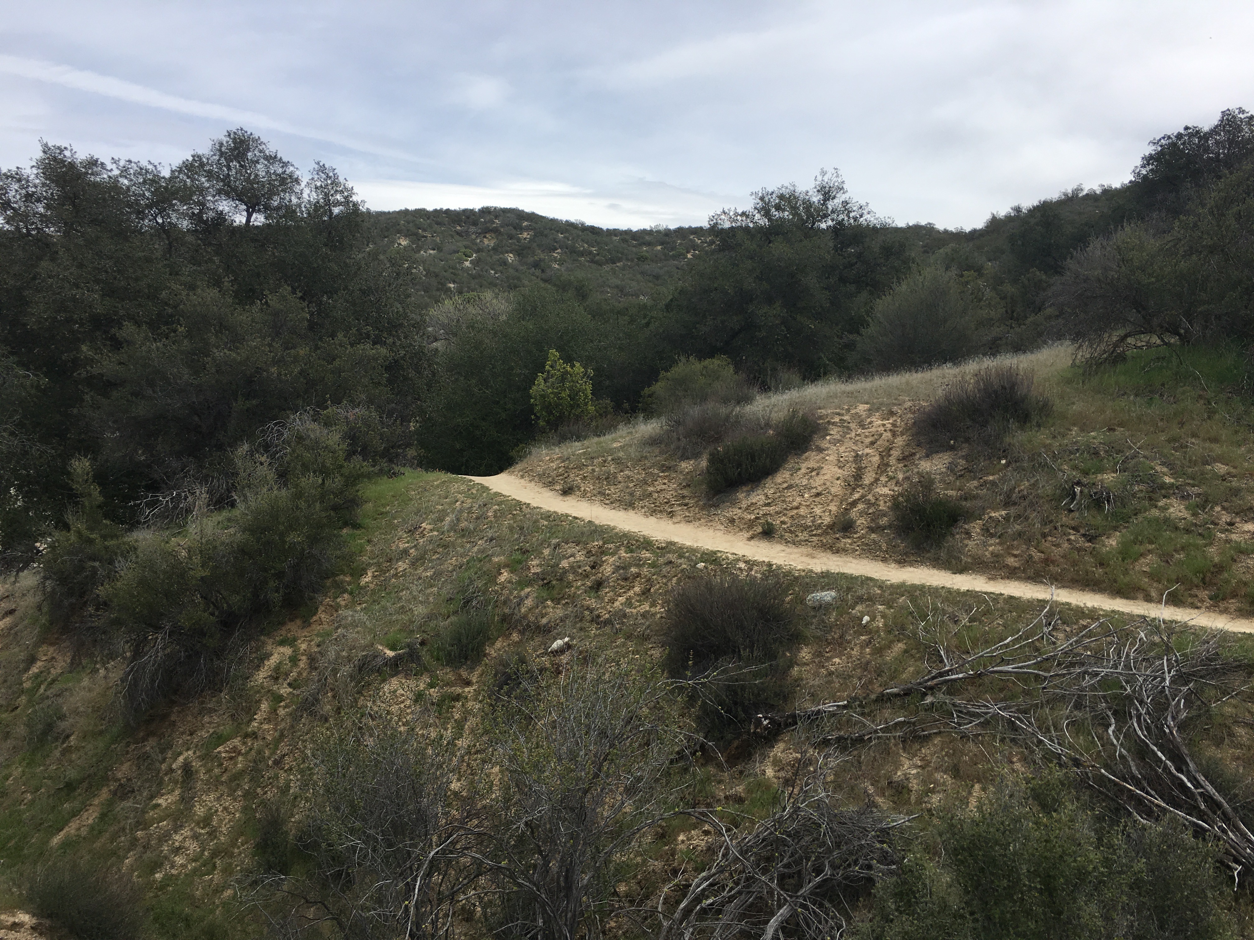
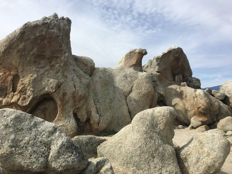
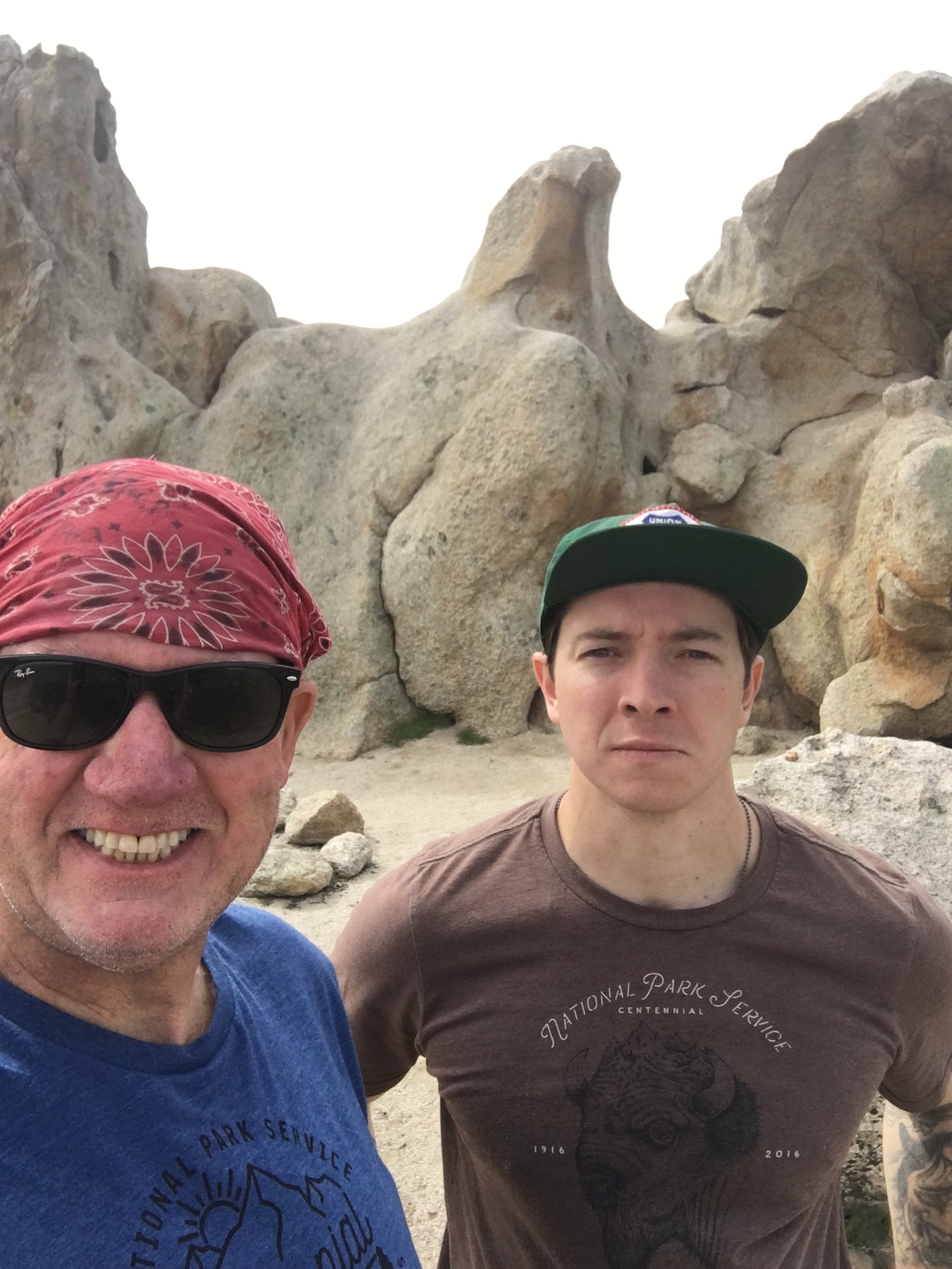
The 2.5 mile section of this trail now becomes dotted with boulders and as you approach Eagle Rock the trail climbs a bit but never to the point of strenuous or an overwhelming challenge. Before you know it you are faced with a “Fork” in the road, go right or left you will still be guided around to the the face of ‘Eagle” and suddenly realize, Man!, this rock does look like an Eagle.
The GPS miles to this point read 3.38 miles and on this day we were just over 1 hour on the trail. There is a calming beauty to this trail, and my hiking partner surmized that since this is an Indian reservation there may be a sacred meaning to this section of the PCT and Eagle Rock.
As you enjoy that peace, have a snack or lunch and enjoy the vastness of the area as well of course Eagle Rock.
The return journey is the same as the trail that got you to Eagle Rock. This time back we stopped and enjoyed the flowing water of Canada Verde Creek and the surrounding Oak Woodland. As you approach Hwy. 79, the sounds of the flowing creek give way to the traffic noise of the road, thus letting you know you have made it back to your starting point.
Great Hike that gives you a chance to experience hiking a section of the Pacific Crest Trail, feeling the Peace and Calm of an Indian reservation and Eagle Rock, that really does look like an Eagle carved out of Rock!
As always, bring lots of water, more in heat, hike with a partner, respect your limits and those of your partner…….
Hiker Therapy