
Mission Trails Regional Park offers many distinct, scenic and challenging hikes each with their own personality and the Fortuna Mountain Saddle does not disappoint in this area.
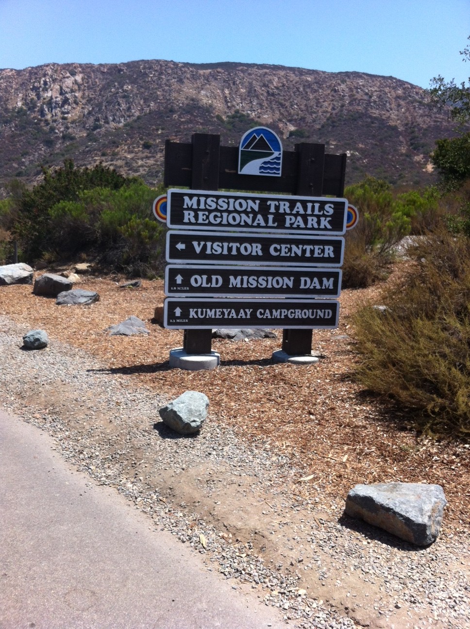
The Fortuna Mountain Saddle includes both North and South Fortuna Peaks. While you can do each at separate times, why not take in the beauty and the challenge of both trails on the same hike. The loop to do both starts from the visitor center entrance and covers nearly 8 miles. You can park your car on the service road area and walk a short distance to the trailhead start, you will see the Mission Trails Regional Park sign on our right.

Sign landmarks the start!

Off we go!
The trail to the saddle starts out on the South Fortuna trail and is well marked and consists of well-packed earth covered in a sandy beginning. The relatively flat trail loops around through dessert brush with a great view of your destination, the South Fortuna Summit off in the distance. The trail widens with a sloping hillside on your left and a wooden fence on your right.

Great view along the road
Soon you will get to the Jackson Crossing area of the San Diego River. Here trees and cover give this area of the trail a forest feel. You will walk along a concrete wall to cross the river and head up the trail to the road.

Sam at Jackson Crossing
This is where the trail gets fun as the road ascends at a rather steep incline which will get your heart pumping, lungs puffing and legs burning! The road switches back a few times and before you know it you will be at the top of the hill near the Twin Towers where the trail returns to a rocky sandy consistency and winds on gentle slopes and soft inclines through brush, small trees and rock. On this day we hiked it was in the low 90’s, so as always make sure you have plenty of water. The heat is much less a factor when you are well hydrated which keeps your energy level up.

This road is a heart pounding burner!
The trail opens up as you hike along a well-compacted stone and earth trail surrounded by dried brown low lying brush. Off in the distance you see the steep slope to the South Summit and the much talked about “Stairs†that lead you up this wickedly steep side of the mountain. As you hike towards the steps the landscape and geography take on a real dessert feel as the dirt gets redder and the trail itself is much more stone and rock.

The Stairs
As you head up towards the “stairs†large boulders dot the scenery. The stairs themselves are made up of wooden steps that lead you up towards the summit of South Fortuna Mountain.
Once at the top don’t be deceived you are still have a bit farther to go to get to the summit but the hard part is over and the challenge well worth it as the panoramic view of Mission Trails and the vista of San Diego is gorgeous. At this point I was pretty gassed, but after sucking down half a bottle of Gatorade and getting back my breath I was ready to push onward towards the summit. After a short hike we were soon at the South Fortuna Peak where a sign and cluster of rock landmarks your accomplishment. From here you get a good view of the winding ascending trail over the
saddle to the summit of North Fortuna. So far the distance traveled is about 3 miles with just about a mile separating both summits.

Sam on South Fortuna Summit
After a short break, some fried chicken and more water we were off to the next peak!
The trail over to the North Fortuna summit is layed out in front of you and very plain to see from your starting point at the South Fortuna summit. The trail is mostly rock and ground up earth and wide. The trail dips, twists and turns until the final ascent the last ¼ of a mile up the slope.
Once you reach the summit you will see the sign marking that point and the wonderful view it offers of all the peaks in the Mission Trails system; Cowles, Pyle’s, Kwaay Paay and besides the North Fortuna you also can see the South Fortuna summit from here.

North Fortuna Summit
Walk a bit more up the trail and you will come to a very large boulder and two marine ammo boxes which contain journals where you can sign in and write about your experience on the saddle!

Write about our adventure at the North Fortuna Summit!
Hiking back can be as adventurous as you make it. You can retrace your way back over to the South summit and head back down the stairs or you can do what we did and followed the SDGE power lines trail back down. Distance wise all ways that lead back are about the same mileage or about the 4 miles it took you to ascend the saddle. However, the SDGE trail was steep and very rocky so be careful. Soon you will meet up with a trail that leads you back to the visitor center via the road you took to ascend up to the Twin Towers. Signs will guide you!
The views back are just as pleasing and beautiful as they were on the ascent. By now the heat was taking it’s toll and we (my son and I) were pretty worn out after our return to the visitor’s center and our completed 8-mile hike. Again, make sure you brig plenty of water, something to eat to restore your electrolytes and as always be on the watch for wildlife.

Didnt see this on the trail
We did not encounter any snakes on the hike but keep in mind that the Missions Trails system is rife with rattlers but so long as you don’t bother them they wont bother you. I recently read that the majority of snakebites occur when the hiker starts to improvise the trail or the hiker hassles the snake, both not smart!
The Mission Trails system has become one of my favorite places to hike as well as home of more strenuous level hikes than any other area in the county. For variety, a good workout and a pleasing accomplishment I highly suggest hiking the Saddle and taking in both the North and South Fortuna summits!
Directions: From downtown San Diego: Take 163 north to I-8 East. Merge onto I-15N and exit on Friars Road East. Follow Mission Gorge Road for 5 miles to Jackson Drive and turn left into the parking area. If you miss this left turn, you can also park in the parking lot for the Visitor Center.
See More Photos at Trail Shots
Distance: 8 miles out and back
Hike Date and Time: Saturday July 21, 12PM-3: 30PM
Hike-ability: Strenuous
Water: 75 oz. plus 1 liter of Gatorade
Lunch: Chicken pieces and a banana
Temperature: low 90s