
Distance: 6 miles out and back
Hike Date and Time: Thursday June 21, 2012, 3:30-5:30PM
Hike-ability: Easy
Water: 50 oz plus 1 liter of Gatorade
Tempature: 70’s
Directions to trailhead: Exit Interstate 805 at Mira Mesa Boulevard/Sorrento Valley Road. Take either I-805 frontage road (Sorrento Valley Road on the west side or Vista Sorrento Parkway on the east side) 1 mile north to Sorrento Valley Boulevard. Turn right and continue 1 mile east to the western staging area for Los Penasquitos Canyon Preserve. Park in the parking lot
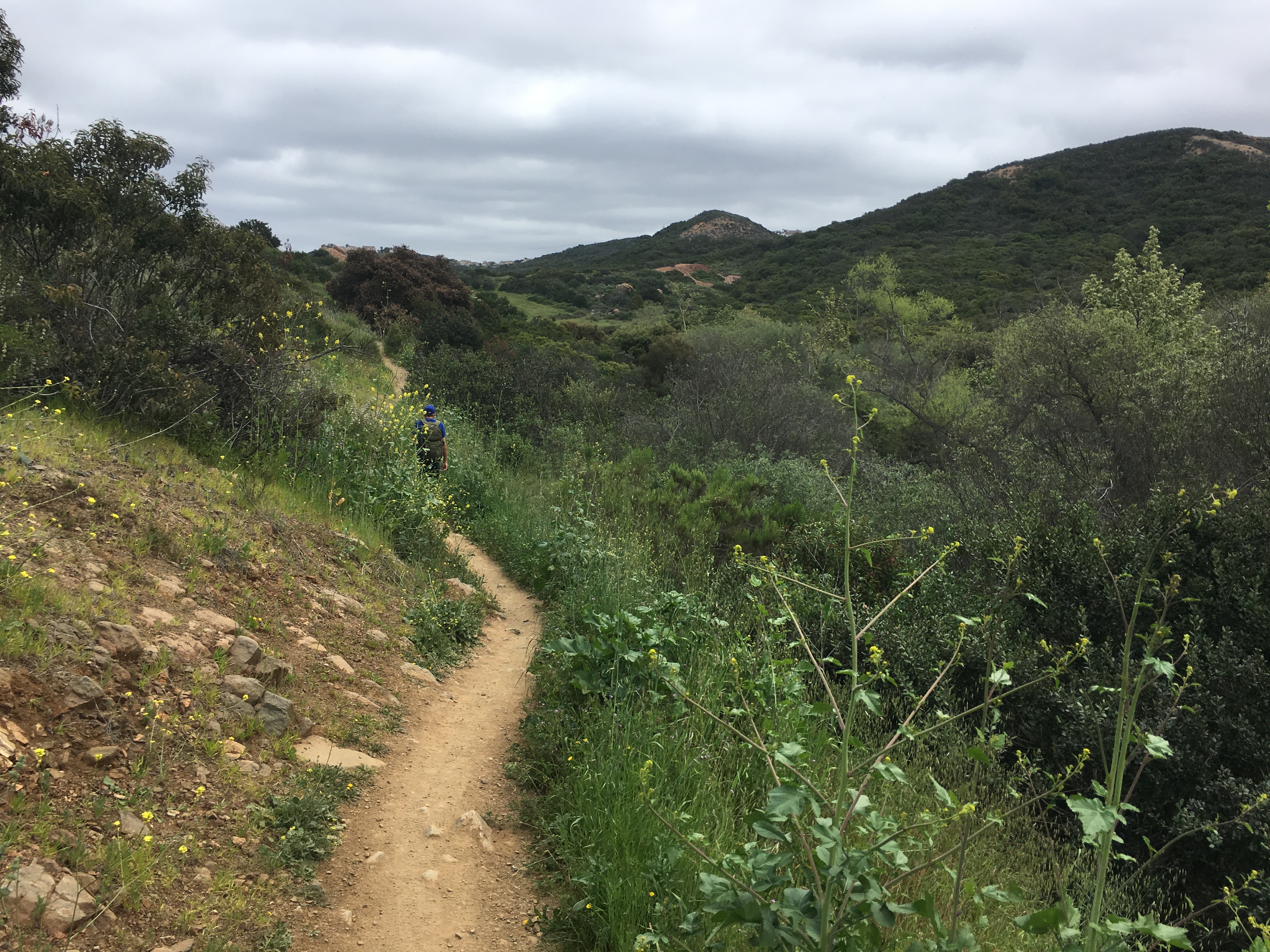
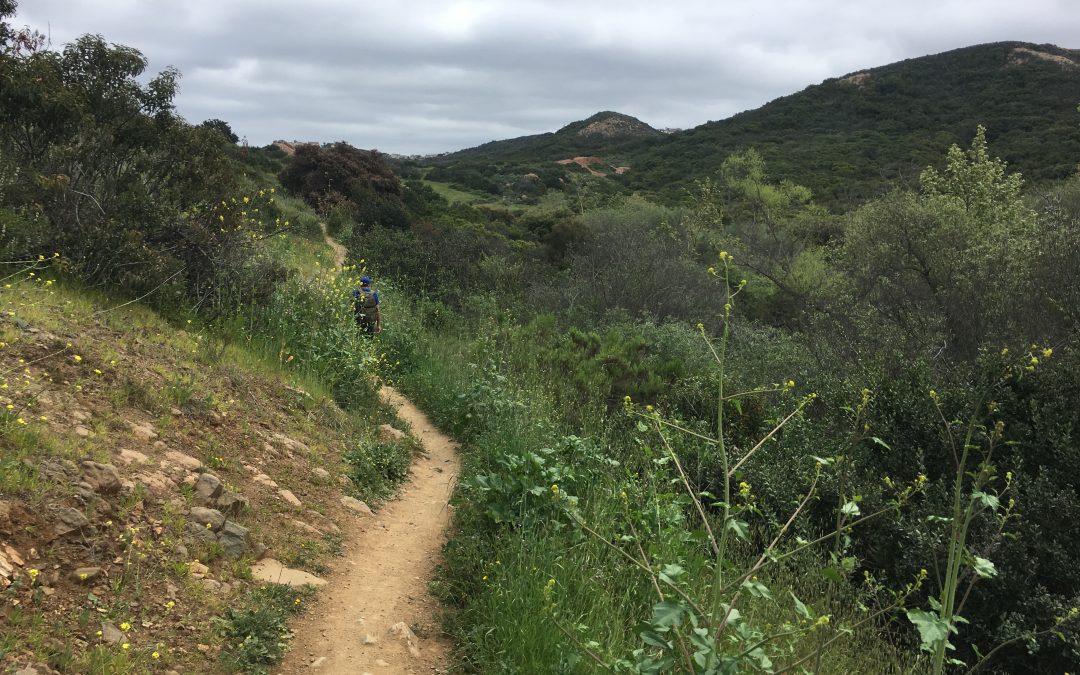
The Los Penaquitos Canyon trail (map) offers a fun hike tucked amidst the freeways, houses and traffic of Sorrento Valley. The Los Penaquitos Canyon Preserve is 4000 acres stretching approximately seven miles from the I-5 and 805 merge to just east of I-15. It’s hiking trail offers a peaceful and tranquil hike surrounded by native beauty that lead to not only historical sites, and a graveyard, but a reward and destination of a waterfall at trails end.
The natural beauty of the preserve includes many different plant and tree species and wildlife as well. On this particular hike we saw a Mule Deer, Peregrine Falcon and numerous rare bird types. This hike started out rather adventurous as about a mile and a half in we realized that we had taken a wrong turn and ended up in Lopez Canyon, a first in that over the past 7 months hiiking I hadn’t gotten lost! However,
it was on our “lost” hike in Lopez Canyon that we saw a very good sized mule deer charge from the brush across the dried up rocky river bed we were hiking. Luckily we ran into our “hiking angel” and she set us straight, Im sure afterwards wondering “man these guys are lost and way off the path.
After being righted and back on our way I realized how much like in life, we can get off the “right path” but can adjust our journey and be once again on course. After all hiking like life is all in the journey, one step at a time!

This Way!
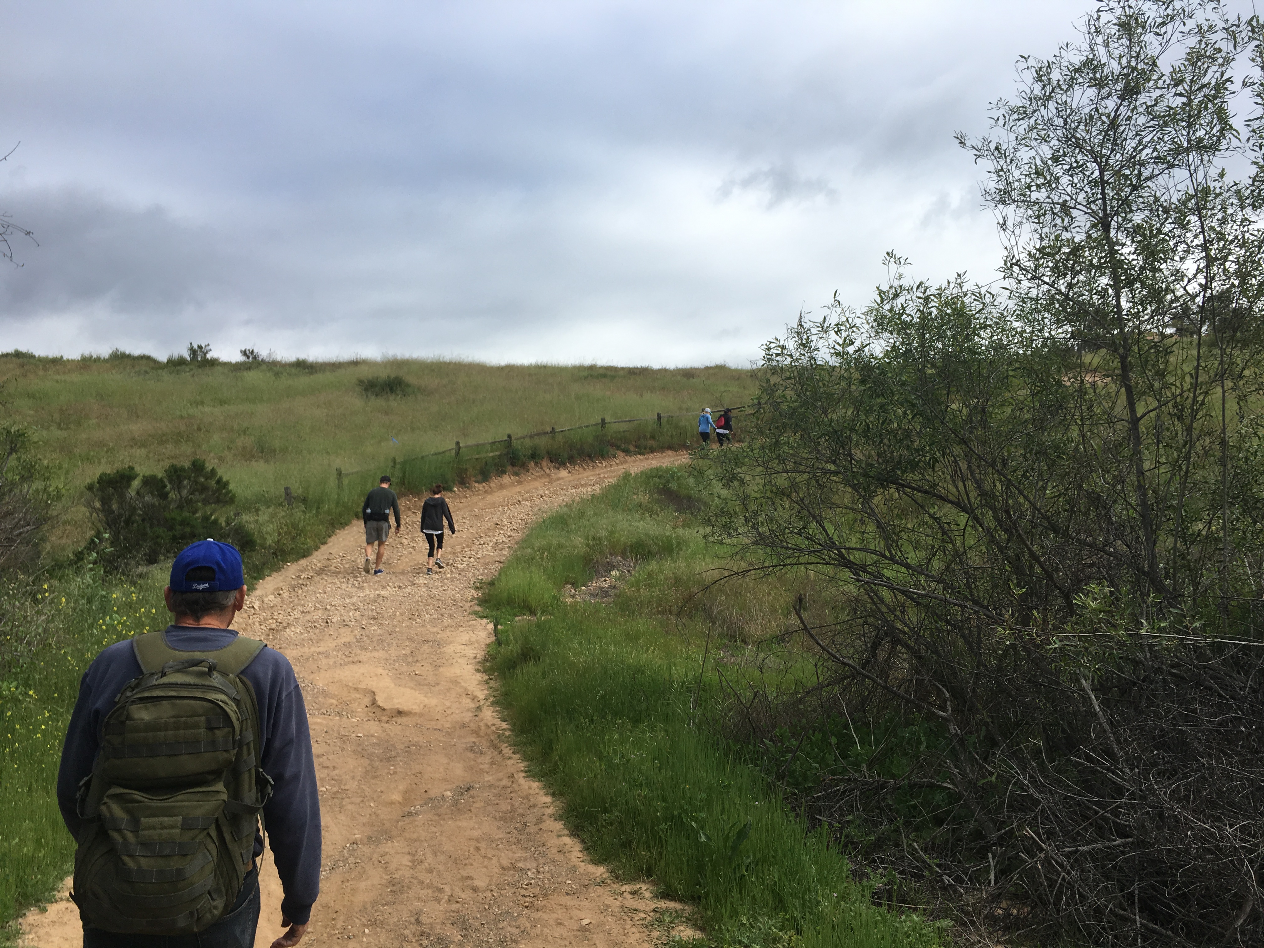
As you start and wind through the trail you will soon come upon an education board and clearly marked sign that says WATERFALL 2.7 (mi) with an arrow pointing left. The trail dips from there going west under Sorrento Valley Blvd. The trail than continues with markers along the way showing you direction and mileage. This trail is also a main trail for mountain bikers as well, and on this day we saw many more of them than hikers
The trail is wide, very well kept, and meanders through rolling hillsides, which at this time of year were a light golden brown. Springtime would be a beautiful time to hike this trail, as I’m sure the abundance of wildflowers would be in full bloom. Interestingly, we came across numerous patches of pumpkins, which were growing wild as well as a staple plant in the canyon, the Yerba Mansa. 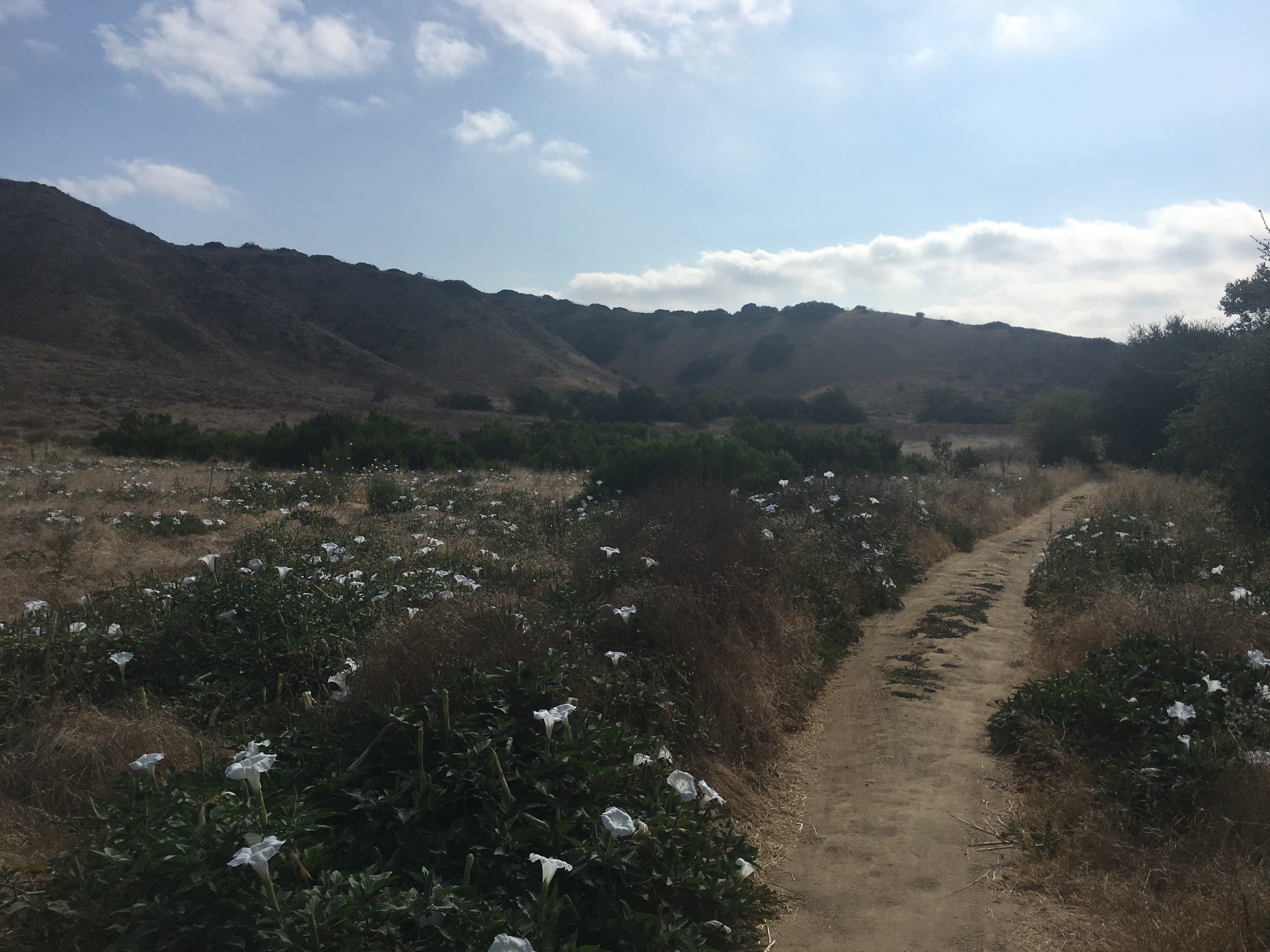
The fun thing about this trail is despite a few soft climbs much of the trail is flat and steady. The only time this trail takes an upward climb of any note is in the beginning of the trail and when you come to the waterfalls at the 2.7-mile mark. This last hill is where our trail biking friend ran across, almost literally, a good size rattlesnake laying on the trail.
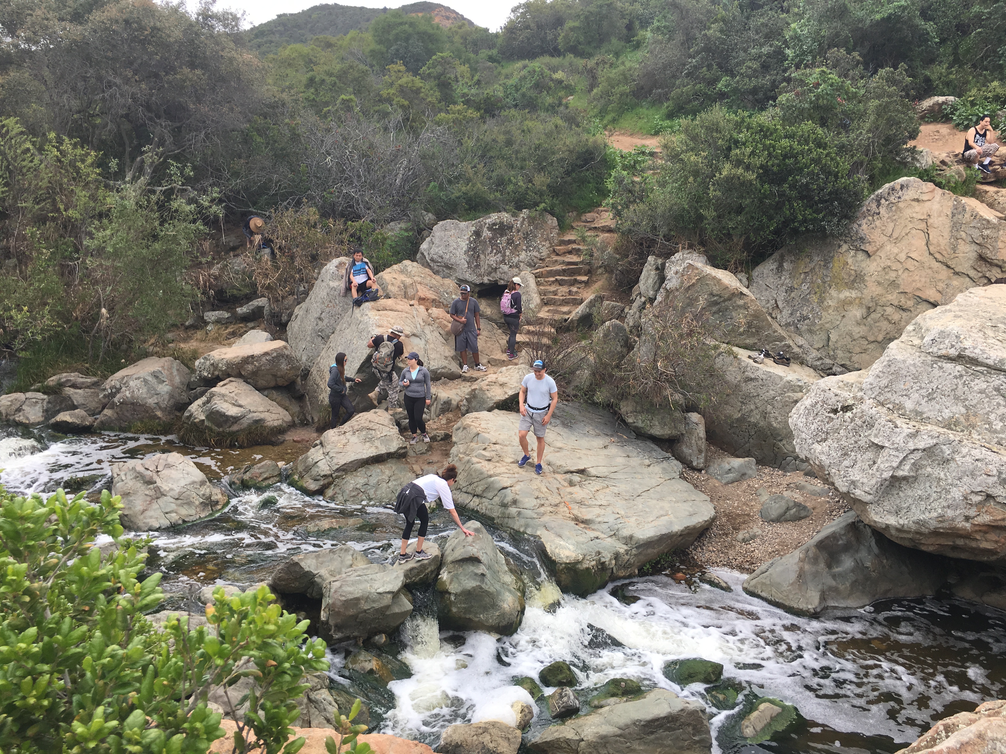
Waterfall 2.7 mile mark Los Penasquitos canyon Hiker Therapy
The falls represent a midpoint for not only the trail we were on but also for the hikers that took the East Approach trail of the canyon.

Over the past 7 months I have been on many hikes each with their own personality, challenges, natural beauty, distance and reward. However, except for the Mt. San Antonio (Mt Baldy) hike, The Los Penasquitos Canyon trail has been my favorite hike to date and I look forward to doing this hike from the East Approach in the near future!